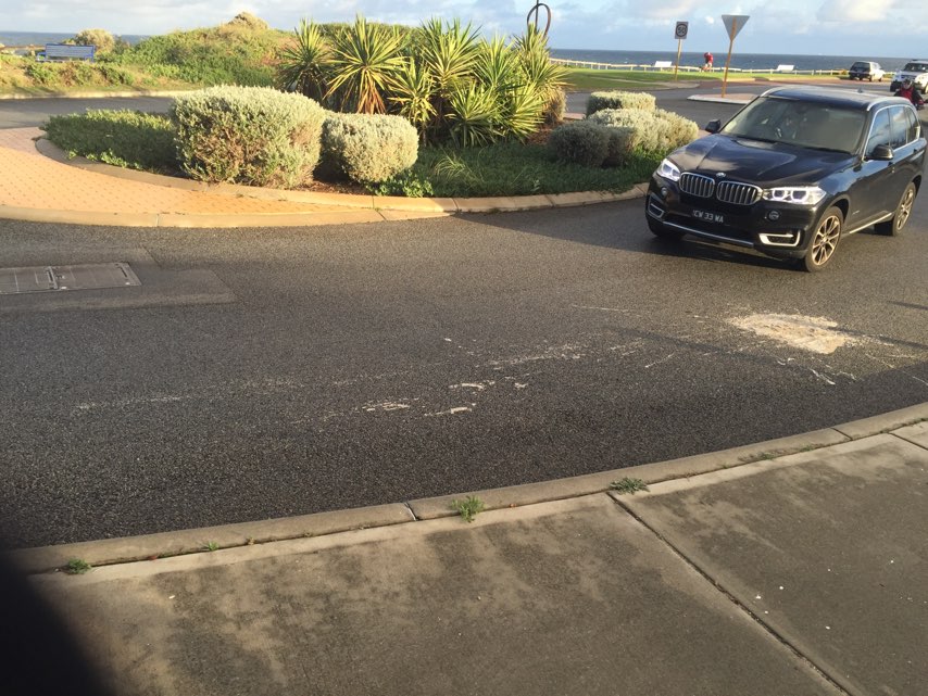
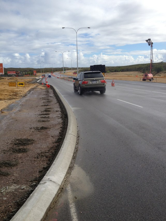
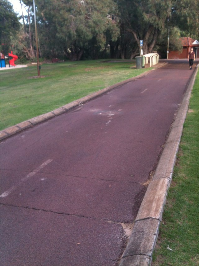
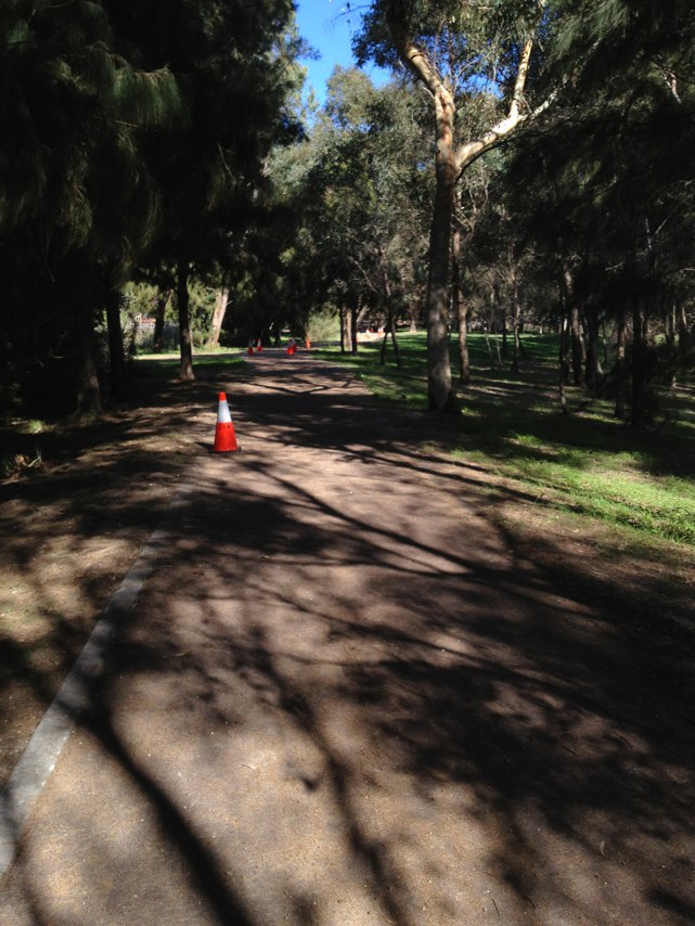
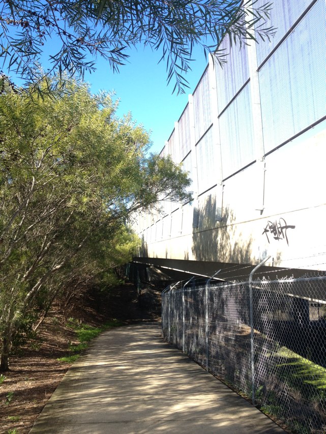
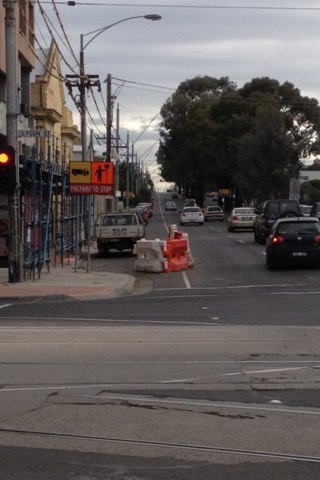
Notes: this kind of sums up what i think of the local bike network. most parts just start and stop but this part actually want to hurt you. is this perths most ridiculous bike fail? im really curious how the road engineers actually made this then walked away. seriously.
Address: Beach St
Map: http://maps.google.com/maps?q=-32.042180,115.755622
Coordinates: -32.042180,115.755622
Photo:
Notes: Dangerous intersection- cars often come out into Aberdeen despite stop sign and fail to see bikes.
Address: 78A Lake St
Map: http://maps.google.com/maps?q=-31.946346,115.858150
Coordinates: -31.946346,115.858150
Photo:
Notes: Awesome network probably be good to have access for motorised bikes as well
Address: Kings Park Rd
Map: http://maps.google.com/maps?q=-31.952583,115.839266
Coordinates: -31.952583,115.839266
Photo:
Notes: police regularly park in the PSP outside the Perth train station.
Address: Roe St
Map: http://maps.google.com/maps?q=-31.950596,115.860207
Coordinates: -31.950596,115.860207
Photo:
Notes: Bike lane suddenly ends just before traffic lights and a narrow left turn where traffic merges
Address: 12 Parry St
Map: http://maps.google.com/maps?q=-32.050680,115.750194
Coordinates: -32.050680,115.750194
Photo:
Notes: Awesome network probably be good to have access for motorised bikes as well
Address: Kings Park Rd
Map: http://maps.google.com/maps?q=-31.952583,115.839266
Coordinates: -31.952583,115.839266
Photo:
Notes: Main Roads or local council vehicles regularly park in the PSP running along Roe St - this was taken one morning whenthey had been there advertising lane closures - ironically making cyclists only able to use one lane. Really dangerous and arrogant.
Address: 66 Roe St
Map: http://maps.google.com/maps?q=-31.949231,115.856988
Coordinates: -31.949231,115.856988
Photo:
Notes: Alexander drive from Hepburn avenue to the city is a very dangerous cycle route.
Address: 297 Alexander Dr
Map: http://maps.google.com/maps?q=-31.822408,115.876989
Coordinates: -31.822408,115.876989
Photo:
Notes: Cars traveling along Archer st have failed to stop for bicycles on many occasions. This is a very dangerous roundabout for cyclists traveling along the road on Bishopsgate st.
Address: Bishopsgate St
Map: http://maps.google.com/maps?q=-31.977411,115.911920
Coordinates: -31.977411,115.911920
Photo:
Notes: Path finishes here and cyclists are forced to use the road.
Address: 500 State Route 51
Map: http://maps.google.com/maps?q=-31.918518,115.929584
Coordinates: -31.918518,115.929584
Photo:
Notes: Cars are stopping in the path of crossing pedestrians and cyclists and moving on a green man without looking for bikes first.
Address: 1990 Leach Hwy
Map: http://maps.google.com/maps?q=-32.047137,115.859744
Coordinates: -32.047137,115.859744
Photo:
Notes: Bike lane ends as enter round-a-bout creating a dangerous situation as car drivers are looking right for others entering round-a-bout but cyclist enter from left
Address: 109 South Terrace
Map: http://maps.google.com/maps?q=-32.059845,115.751218
Coordinates: -32.059845,115.751218
Photo:
Notes: Path has been constantly ripped up for at least a yr and half at different points and always completely obstructing path
Address: 243 Manning Rd
Map: http://maps.google.com/maps?q=-32.013066,115.894658
Coordinates: -32.013066,115.894658
Photo:
Notes: (null)
Address: 707 State Route 65
Map: http://maps.google.com/maps?q=-31.949541,115.852741
Coordinates: -31.949541,115.852741
Photo:
Notes: When riding on the shared bike path along the Mitchell Freeway at the Hutton st bridge, cyclists are forced to cross 6 roads (9 lanes of traffic in total) to get to the diagonally opposite side of the bridge and continue along the path. There are no pedestrian crossing signals or shared paths cyclists can use to avoid this dangerous intersection. Crossing this intersection is fraught with danger for the hundreds of cyclists who use this route every morning and afternoon.
Address: 44 Hutton St
Map: http://maps.google.com/maps?q=-31.901758,115.820623
Coordinates: -31.901758,115.820623
Photo:
Notes: Always busy with loads off cars
Address: Hutton St / Freeway overpass
Map: http://maps.google.com/maps?q=0.000000,0.000000
Coordinates: 0.000000,0.000000
Photo:
Notes: (null)
Address: Henderson St
Map: http://maps.google.com/maps?q=-32.055797,115.749103
Coordinates: -32.055797,115.749103
Photo:
Notes: The path leads you to an intersection, but there is no clear way to cross on a bike
Address: Queen Victoria St
Map: http://maps.google.com/maps?q=-32.042519,115.754962
Coordinates: -32.042519,115.754962
Photo:
Notes: Temporary bike path demarcated with traffic cones on westbound Wellington St (between Milligan and Elder) is being used by cars turning left onto Elder, completely ignoring the changed traffic conditions due to Ent Cent construction. Very dangerous when cars unexpectedly cut through a break in the cones in front of you and block the two-way path!
Address: Elder St
Map: http://maps.google.com/maps?q=-31.948919,115.850438
Coordinates: -31.948919,115.850438
Photo:
Notes: Road space gets very tight here between cars, buses, pedestrians and cyclists creating dangerous conditions
Address: 41 South Terrace
Map: http://maps.google.com/maps?q=-32.056676,115.748955
Coordinates: -32.056676,115.748955
Photo:
Notes: Cars fail to give way to cyclist entering round-a-bout from wray ave and often try to sneak ahead.
Address: South Terrace
Map: http://maps.google.com/maps?q=-32.059799,115.751654
Coordinates: -32.059799,115.751654
Photo:
Notes: The
Address: 8 Cantonment St
Map: http://maps.google.com/maps?q=-32.053278,115.746663
Coordinates: -32.053278,115.746663
Photo:

Notes: Power pole in combination with narrow setback obstructs view of pedestrians and cyclists crossing Brady St/Scarborough Beach road traffic light south side pedestrian crossing west to east. Needs left turn control
Address: 3 Brady St
Map: http://maps.google.com/maps?q=-31.914412,115.828106
Coordinates: -31.914412,115.828106
Photo:
Notes: There is an unsafe corner on the Leach Hwy shared path on the north side of Leach Hwy turning into Webb St Rossmoyne. I have witnessed numerous accidents, mainly bike vs bike. The City of Canning have been alerted to the problem but have done nothing about it.
Address: Webb Street
Map: http://maps.google.com/maps?q=0.000000,0.000000
Coordinates: 0.000000,0.000000
Photo:
Notes: Clayton St and Lloyd St eastbound on Clayton St. The picture is from Google maps and show how common the incidence is. Cars turn left onto Lloyd St and make a new lane in a cyclist lane. As a cyclist I am frustrated. When driving I keep to the car lane and get cars beeping there horns and climbing the curb to edge there way to the red light. Over the past few years the intersection has become busier and a possible left hand give way lane could reduce the issue
Address: Clayton St and Lloyd St
Map: http://maps.google.com/maps?q=0.000000,0.000000
Coordinates: 0.000000,0.000000
Photo:
Notes: This spot is a death trap for cyclists. I have nearly been hit by buses a number of times and know two people who have been hit.
Address: 63 South Terrace
Map: http://maps.google.com/maps?q=-32.057410,115.750000
Coordinates: -32.057410,115.750000
Photo:

Notes: Cnr Norfolk/parry and south Tce- needs green painted clearly marked bike lanes for safety concerns
Address: 47 South Terrace
Map: http://maps.google.com/maps?q=-32.056900,115.749464
Coordinates: -32.056900,115.749464
Photo:
Notes: (null)
Address: LOT 1 Nicholson Rd
Map: http://maps.google.com/maps?q=-32.057384,115.933856
Coordinates: -32.057384,115.933856
Photo:
Notes: (null)
Address: 76 Wright Crescent
Map: http://maps.google.com/maps?q=-31.927951,115.933393
Coordinates: -31.927951,115.933393
Photo:
Notes: Road verge needs topcoat too rough
Address: Whitfords Ave
Map: http://maps.google.com/maps?q=-31.801066,115.800452
Coordinates: -31.801066,115.800452
Photo:
Notes: City of Fremantle - leading the way, giving up car bays for bikes!
Address: 91 High St
Map: http://maps.google.com/maps?q=-32.054897,115.745838
Coordinates: -32.054897,115.745838
Photo:
Notes: Blind corner on major crossing. When attempting to cross from freeway cycle way across the Berrigan road north on ramp to head east on Berrigan Road, the east bound traffic from South Lake heading onto the freeway whizz around from behind a an 8 foot brick wall giving the cyclist a second or two of warning to cross. There are no lights controlling this lane of turning traffic.
Address: Berrigan Dr
Map: http://maps.google.com/maps?q=-32.109804,115.850961
Coordinates: -32.109804,115.850961
Photo:
Notes: Where hwy changed to single lane.
Address: W Coast Hwy
Map: http://maps.google.com/maps?q=-31.965452,115.763712
Coordinates: -31.965452,115.763712
Photo:
Notes: Vehicles regularly pass into the far right lane and cut back across two lanes to turn left onto Lord St, cutting cyclists off for a gain of around 15 meters.
Address: Wellington St
Map: http://maps.google.com/maps?q=-31.954211,115.867286
Coordinates: -31.954211,115.867286
Photo:
Notes: Zamia cafe and the surrounding areas used to park in by cars is just generally a dangerous place for cyclists especially weekend mornings as cars pull in and out at random clearly not thinking about the large number of cyclists using the park
Address: May Drive
Map: http://maps.google.com/maps?q=0.000000,0.000000
Coordinates: 0.000000,0.000000
Photo:
Notes: The round about here is dangerous. This whole road needs a bicycle lane.
Address: 4 Dampier ave
Map: http://maps.google.com/maps?q=0.000000,0.000000
Coordinates: 0.000000,0.000000
Photo:
Notes: Motocross riders on freeway bike path between safety bay road and karnup road exits . threatening behaviour (trying to clothesline us) and have put rocks and dirt all over the path.
Address: Kwinana Fwy
Map: http://maps.google.com/maps?q=-32.350818,115.834651
Coordinates: -32.350818,115.834651
Photo:
Notes: Coming from Kingsley there is no pathway between end of the bike pathway in north bridge to the convention centre to get on the pathway there to get to south Perth.
Address: 1 Aberdeen street
Map: http://maps.google.com/maps?q=0.000000,0.000000
Coordinates: 0.000000,0.000000
Photo:
Notes: A bike lane is needed on this road.
Address: Ocean reef road
Map: http://maps.google.com/maps?q=0.000000,0.000000
Coordinates: 0.000000,0.000000
Photo:
Notes: City of Perth pulled this up June 2009 - access now very poor to overpass bridge
Address: Old Entertainment Centre Car park Perth
Map:
Coordinates: -31.948630, 115.853662
Photo:
Notes: This was pulled up two weeks ago - has finally been fixed
Address: Old Entertainment Centre Car park Perth
Map:
Coordinates: -31.949431, 115.852938
Photo:
Notes: Two blind corners. Approaching these corners requires extra caution. The problem is worse going down the hill south). Fences should be adjusted and the bushes pruned to provide visibility.
Address: Virgilla Tce South Lake
Map:
Coordinates: -32.101140, 115.849420
Photo:
Notes: PSP very poor along here with several cracks and holes.
Address: PSP near Nature Reserve Woodvale
Map:
Coordinates: -31.7815173498242, 115.7813286781311
Photo:
Notes: Bumpy ramp onto cycleway, poor angle 2). The uneven surface of the concrete ramp, and the unnecessary bend, slow down cyclists. The path should be straightened so that the ramp points in a direction more parallel with the road. The entrance to the cycl
Address: London Way Bateman
Map:
Coordinates: -32.06274, 115.85021
Photo:
Notes: Another road section of PSP. When travelling north, entering the cycleway is dangerous because it's impossible to see cars coming around the corner. The section of London Way parallel to the freeway should be changed to a one-way south) road. The remai
Address: London Way Bateman
Map:
Coordinates: -32.061980, 115.850280
Photo:
Notes: Bumpy ramp onto cycleway, poor angle 1). The uneven surface of the concrete ramp, and the unnecessary bend, slow down cyclists. The path should be straightened so that the ramp points in a direction more parallel with the road. The entrance to the cycl
Address: Scandrett Way Bateman
Map:
Coordinates: -32.061160, 115.850410
Photo:
Notes: Cycleway changes into a road. When travelling north, entering the cycleway is dangerous because it's impossible to see cars coming around the corner. The section of Scandrett Way parallel to the freeway should be changed to a one-way north) road. The r
Address: Scandrett Way Bateman
Map:
Coordinates: -32.060350, 115.850420
Photo:
Notes: Blind corners at Parry Ave overpass. Risk of cyclist collision. Path should be widened.
Address: Parry Ave overpass Winthrop
Map:
Coordinates: -32.056270, 115.851160
Photo:
Notes: Parry St underpass, I hate this more than the Cranford Ave crossing, after one afternoon on way home heading south, I saw a shadow and took evasive action, a second later the helmetless head of an inexperienced rider brushed against my shoulder.
Address: Parry Ave underpass Winthrop
Map:
Coordinates: -32.056200, 115.851100
Photo:
Notes: By Langford Sports centre there is a blind corner that is often covered with sand/gravel. Looks like it is being used by cars, motorbikes.
Address: Langford Sports Centre Langford
Map:
Coordinates: -32.045487437880595, 115.94575881958008
Photo:
Notes: PSP ends and entrance back onto the path too narrow, entrance at wrong angle, visibility problems, excessive bollarding. The posts pose a collision danger to cyclists and the area requires careful navigation. It is not possible to see traffic coming from
Address: Selway Rd Bull Creek
Map:
Coordinates: -32.044310, 115.854090
Photo:
Notes: No access to Cockburn station from north side. Shared path users have been jumping the fence and walking through sand to reach the train station saves a 300m walk). This puts sand on the path. There should be access to the station from the north side f
Address: Cockburn Station Cockburn
Map:
Coordinates: -32.124240, 115.857220
Photo:
Notes: In Jandakot and South Lake some of the adjacent no-thru roads actually lead onto the bikepath at least for cyclists) but there's no signage. An example is Muriel Crt mind you, every time I go down this one the neighbours give me suspicious looks and I l
Address: Muriel Crt South Lake
Map:
Coordinates: -32.119030, 115.854590
Photo:
Notes: The problem with the kinks in the path as you cross the railway line at South Lake relate to the deviations made to the path when they made changes to the freeway years ago, what we have now is just as bandaid as the original concept and needs the final u
Address: Near Tulipwood Place South Lake
Map:
Coordinates: -32.095390, 115.849040
Photo:
Notes: If you are following the path north and pass under Farrington Rd, it T-junctions and most riders will turn right, just where the path crests and this is a blind spot. That corner needs to be widened, to acknowledge that most people will be turning right o
Address: Farrington Rd North Lake
Map:
Coordinates: -32.078580, 115.848970
Photo:
Notes: There are tree root issues on that last underpass before you swing onto the straight path past Murdoch station, as well as sight-line problems because of overhanging trees.
Address: Murdoch Station Murdoch
Map:
Coordinates: -32.067990, 115.849760
Photo:
Notes: Several seats are located on the shared path, making it difficult to get through this area. The City has moved them once, but they keep getting moved back.
Address: Scarborough beach Scarborough
Map:
Coordinates: -31.89440633835063, 115.75605690479278
Photo:
Notes: Concrete path very poor here with several cracks and rises.
Address: Twickenham Dr Woodvale
Map:
Coordinates: -31.806029150900695, 115.78317403793335
Photo:
Notes: Bush growing onto shared path. Traffic light management very poor with several pedesdrian/cyclists lights not syned with road lights resulting in very long delays. This is the only access to Whitfords Train Station for cyclists and pedesdrains from east.
Address: Whitfords Ave Woodvale
Map:
Coordinates: -31.798315200218358, 115.78420400619507
Photo:
Notes: Concrete path poor here. What is the requirement to have the bollard, when there is also a wooden fence right next to the PSP.
Address: St Johns Ct Woodvale
Map:
Coordinates: -31.811408475273403, 115.78369975090027
Photo:
Notes: Sand drifts onto PSP each time it rains. Why is the U-Bar required here?
Address: Mitchell Fway PSP Overpass Duncraig
Map:
Coordinates: -31.82124772535483, 115.78269392251968
Photo:
Notes: Various hazards at entrance to path. 1. Path is too narrow. 2. Pine post on left is in the way. 3. The base of a metal post rises out of path. These obstacles cause danger to the cyclists passing through. 1. Path should be widened. 2. Pine post on left
Address: Cranford Ave Bull Creek
Map:
Coordinates: -32.040920, 115.854480
Photo:
Notes: Path across the old traffic bridge is too narrow
Address: Old Bridge Fremantle
Map:
Coordinates: -32.040900, 115.754360
Photo:
Notes: If you're going to Stirling Bridge, there is a traffic sign placed too close to the PSP interface at the SE corner of Stirling Hwy and Tydeman Road
Address: Stirling Bridge Fremantle
Map:
Coordinates: -32.040390, 115.760540
Photo:
Notes: Right-of-way is not clear at this intersection. Most cyclists would be continuing south along the path. However you can never be sure that they aren't turning off. A solid line should be painted on the concrete paving. Also the bitumen could be widened
Address: Mount Henry Bridge Reserve Mount Henry
Map:
Coordinates: -32.037440, 115.855540
Photo:
Notes: There is a shrubbery on the inside of the corner as you come off Mt Henry, heading south and west, this cuts vision and is also a favourite roost for old codgers who like to step in front of your bike and demand that you ring the bell while you are tryin
Address: Mount Henry Bridge Reserve Mount Henry
Map:
Coordinates: -32.037400, 115.855500
Photo:
Notes: 100m to the west of the rail bridge over Tydeman Road in N Freo there is a telephone junction box in the path.
Address: Rail bridge over Tydeman Road Fremantle
Map:
Coordinates: -32.037240, 115.751800
Photo:
Notes: If you take the beach path past Leighton and Port Beaches, it is poorly marked, sometime too narrow and gets covered with sand and bad parkers. Also quite disrupted at Leighton due to construction works,
Address: Port Beach Cottesloe
Map:
Coordinates: -32.035060, 115.745670
Photo:
Notes: If you take Curtin Ave south) the marked lane conks out at Port Beach and puts you too close to traffic for comfort.
Address: Curtin Ave Cottesloe
Map:
Coordinates: -32.019790, 115.751820
Photo:
Notes: From the boatramp south of Canning Bridge the path meanders unnecessarily for a primary commuting route, has issues with tree roots, line-of-sight and width, especially just before the pedestrian overpath to Aquinas.
Address: Near Canning Bridge Salter Point
Map:
Coordinates: -32.017260, 115.857190
Photo:
Notes: Do you continue along the coast where there is a PSP, or continue on Curtin Ave on the road?
Address: Curtin Ave/Marine Pde Cottesloe
Map:
Coordinates: -32.013770, 115.753220
Photo:
Notes: Glass in sand. Whenever it rains or is stormy, sand washes onto the path. The sand contains lots of broken glass. Not sure how this could be cleaned up.
Address: South of Canning Bridge South Perth
Map:
Coordinates: -32.010320, 115.854070
Photo:
Notes: The PSP disappears again, and you are back on the road
Address: Grant St Station Cottesloe
Map:
Coordinates: -31.986890, 115.764440
Photo:
Notes: The path between Swanbourne Station and the Stirling St rail overpass is subject to frequent flooding in winter. There is inadequate drainage at a few points and water puddles across the whole path for days at a time.
Address: Swanborne Station/Stirling St Swanborne
Map:
Coordinates: -31.981560, 115.774590
Photo:
Notes: Another example of poor parking. Some motorists find it easier to exit parking by driving forwards over the PSP, rather than reversing onto Claremont Cr. Town of Claremont indicate that they will review the area and consider installing bollards to prevent cars accessing the PSP.
Address: Claremont Crs Claremont
Map:
Coordinates: -31.981430, 115.776000
Photo:
Notes: PSP seems to disappear, so some signs wouldn't go amiss. There is a bad camber on the turn below the NW car park at Claremont Station, it gets covered in sand drifting off the lawn and becomes a slip hazard. Town of Claremont indicates that will look at the directional signs.
Address: Claremont Crs Claremont
Map:
Coordinates: -31.980740, 115.780500
Photo:
Notes: Good visual reminder for motorists leaving the car park. However, why does the PSP need to run here when there is plenty of land near the railroad? Town of Claremont indicates that MainRoads will reroute this closer to Railway in the near future.
Address: Shenton Rd Claremont
Map:
Coordinates: -31.979320, 115.783310
Photo:
Notes: Another example where the PSP stops, with a little bit hanging out. Note the light, it is not pointing onto the PSP, but the little waste area.
Address: Claremont Show Grounds Claremont
Map:
Coordinates: -31.978860, 115.785080
Photo:
Notes: Sign says path stops in 20 meters, but does it? It continues both ways around the corner. Note the light pole to the left, this is hard up against the PSP reducing the width of the path.
Address: Claremont Show Grounds Claremont
Map:
Coordinates: -31.978700, 115.784910
Photo:
Notes: The intersection of Stubbs Terrace and Mofflin Ave is poorly lit by street lights, this is a section where there is no bicycle path on the road shoulder
Address: Mofflin Ave Subiaco
Map:
Coordinates: -31.972060, 115.790880
Photo:
Notes: Bike lockers, located in the middle of nowhere
Address: Loch St Station Karrakatta
Map:
Coordinates: -31.971930, 115.791040
Photo:
Notes: Nothing, you are on the road
Address: Stubbs Tce Karrakatta
Map:
Coordinates: -31.971720, 115.791380
Photo:
Notes: 9 cars parked on the cycle reserve. Have a look at NearMap, this shows on average 8 cars each month, and in Sept 2009, a record 29
Address: Alfred Rd Karrakatta
Map:
Coordinates: -31.971500, 115.791510
Photo:
Notes: PSP ends, on both sides of Albany Hway/Shepperton Rd.
Address: Albany Hwy Victoria Park
Map:
Coordinates: -31.969080, 115.793440
Photo:
Notes: Causeway only has slabs, width of the path and competing traffic including pedestrians makes this very difficult to cycle on.
Address: Causeway Perth
Map:
Coordinates: -31.964520, 115.877270
Photo:
Notes: EPRA's Riverside Project. What will happen to the PSP?
Address: Riverside East Perth
Map:
Coordinates: -31.964180, 115.881600
Photo:
Notes: PSP ends, onto the road, at least with a dedicated cycle path. Note though, if you are riding into Perth, you would have to cross over the road to get to the PSP
Address: Shenton Park Station Shenton Park
Map:
Coordinates: -31.962250, 115.882720
Photo:
Notes: PSP just ends, with a little bit left over
Address: Shenton Park Station Shenton Park
Map:
Coordinates: -31.959540, 115.805110
Photo:
Notes: What's with the U-bars blocking access to the PSP
Address: Shenton Park Station Shenton Park
Map:
Coordinates: -31.959370, 115.805450
Photo:
Notes: TheåÊunderpass under Riverside Drive was lost when the Mandurah Line was put in. Will there ever be another underpass again?
Address: Riverside Drive Perth
Map:
Coordinates: -31.957760, 115.855350
Photo:
Notes: Excessively high kerb on inside of a tight corner. Kerb's protrusion into path reduces space available for turning => increases risk of collision at the blind corner. Its height could result in clipping foot on kerb while turning. Suggest moving the ker
Address: Near The Narrows Perth
Map:
Coordinates: -31.957750, 115.850370
Photo:
Notes: Two signposts and a tree too close to the path. They are uncomfortably close when coming down the hill. The tree's roots have also lifted the bitumen surface at a point where cyclists will be turning and braking. Suggest moving the signs and removing th
Address: Near The Narrows Perth
Map:
Coordinates: -31.957390, 115.848110
Photo:
Notes: Development occurring to make this two way, however, no cycle lanes. Why?
Address: The Esplanade Perth
Map:
Coordinates: -31.956880, 115.848570
Photo:
Notes: Do we really need bollards, look at how many times cars could have gone onto the PSP
Address: Stubbs Tce Subiaco
Map:
Coordinates: -31.956070, 115.856180
Photo:
Notes: Bikes aren't allowed on this bridge - why?
Address: Mount St overpass Perth
Map:
Coordinates: -31.955260, 115.852120
Photo:
Notes: Why make the bikes ride up the hill, when the motor cars get level roads?
Address: In front of Parliament House Perth
Map:
Coordinates: -31.954010, 115.848430
Photo:
Notes: Stubbs terrace bike path has numerous Moreton bay fig trees dropping fruit onto the path. The path is infrequently swept to remove the slip hazard, this is especially of concern for the corner entering the car park at Daglish station
Address: Stubbs Tce Subiaco
Map:
Coordinates: -31.952980, 115.848050
Photo:
Notes: Work continues on the Horseshoe Bridge - end result does not include cycle lanes. Why?
Address: Horseshoe Bridge Perth
Map:
Coordinates: -31.952030, 115.880230
Photo:
Notes: Move over to the right to set the signals - come on.. Some cycling signals are not sync'ed to the other signals, so if you don't press the button, you don't go over
Address: Cnr Hay St/Mitchell Fwy exit Perth
Map:
Coordinates: -31.950880, 115.848350
Photo:
Notes: Such a tight corner, most riders can't ride around it - why?
Address: In front of Parliament House Perth
Map:
Coordinates: -31.950840, 115.848310
Photo:
Notes: Fire hydrant in the middle of the path
Address: Hay St Perth
Map:
Coordinates: -31.950160, 115.815280
Photo:
Notes: Pedestrian crossing on a curve, how does one see?
Address: Stubbs Tce Subiaco
Map:
Coordinates: -31.949850, 115.871340
Photo:
Notes: Why do these have to be located over this path?
Address: Old Entertainment Centre Car park Perth
Map:
Coordinates: -31.949770, 115.816010
Photo:
Notes: Why the temporary bollard, and where do we cross?
Address: Old Entertainment Centre Car park Perth
Map:
Coordinates: -31.949550, 115.853270
Photo:
Notes: PSP closed to make way for the Arena - Oct 06 - will the PSP ever be re-installed?
Address: Perth Arena Perth
Map:
Coordinates: -31.949380, 115.852770
Photo:
Notes: No workmen have ever been sighted overhead
Address: Perth Arena Perth
Map:
Coordinates: -31.949290, 115.852560
Photo:
Notes: It takes 6 mins, 10 seconds to ride up George St, 5 mins 15 seconds of that time is waiting for traffic lights to change
Address: George St Perth
Map:
Coordinates: -31.948930, 115.869650
Photo:
Notes: Who has right of way?
Address: Stubbs Tce Subiaco
Map:
Coordinates: -31.948400, 115.849460
Photo:
Notes: The turn right light is always red when pedesdrians are crossing. However, there is no straight forward light for cyclists here so are we allowed to go then the turn light light is red as no cars are crossing on Roe St?
Address: Roe St North Bridge
Map:
Coordinates: -31.948010, 115.854090
Photo:
Notes: PTA's $10m bridge - never used - completed in May 2009 - couldn't bikes be using it now, or have it redesigned so that cyclists could use it when it is finally opened.
Address: Near Market St Perth
Map:
Coordinates: -31.947240, 115.851270
Photo:
Notes: To cross here, you need to clear the main roads, and also make sure that there is no traffic on the paths, Don't look left, there is a wall in the way.
Address: Market St Perth
Map:
Coordinates: -31.946790, 115.819800
Photo:
Notes: Divided paths, except look towards Perth, and there are three paths behind you, none marked
Address: Roberts Rd Subiaco
Map:
Coordinates: -31.946180, 115.820310
Photo:
Notes: Another example of having to set the traffic signals, by moving over the right
Address: Roberts Rd Subiaco
Map:
Coordinates: -31.945310, 115.826040
Photo:
Notes: Why isn't this a dedicated path? There is a walkway just next door. Also, mind the leaves from those trees.
Address: Centro Ave Subiaco
Map:
Coordinates: -31.945300, 115.824130
Photo:
Notes: Cyclist seriously injured - sudden lot of work to correct area including shrub trimming, painting signs and light fixing. However, main fault of area is the curve of the path, this needs to be straightened to give line of sight
Address: Haydn Bunton Drive underpass Subiaco
Map:
Coordinates: -31.943860, 115.842280
Photo:
Notes: No traffic management on the shared path when events are on - consider if this should be enforced
Address: Subiaco Oval Subiaco
Map:
Coordinates: -31.943840, 115.827430
Photo:
Notes: Weekly issue of build up of rubbish which normally ends up on the PSP. Suggest installing rubbish bins, or weekly clean up of the area.
Address: Freeway Underpass North Bridge
Map:
Coordinates: -31.943730, 115.852830
Photo:
Notes: Condition of PSP very poor, with major crackes and the edging starting to fail.
Address: Near Leederville Station Leederville
Map:
Coordinates: -31.942480, 115.848190
Photo:
Notes: PSP disappears and you are on the road.
Address: Swan View Tce Maylands
Map:
Coordinates: -31.940190, 115.842420
Photo:
Notes: Note the end of shared path sign, why?
Address: Powis St Osborne Park
Map:
Coordinates: -31.921990, 115.826650
Photo:
Notes: Visibility to stairs poor from the PSP, this is additional traffic entering the PSP where there is also a ramp access around 10 meters away as well
Address: Glendalough Station Glendalough
Map:
Coordinates: -31.918470, 115.929560
Photo:
Notes: The PSP from East Perth to Bayswater is excellent, with only one break at the crossing in Maylands. Travelling down Railway Pde crossing Collier Rd at the railway crossing at Bassendean is tricky when busy. Even difficult in a car.
Address: Railway Pde Bassendean
Map:
Coordinates: -31.909000, 115.940090
Photo:
Notes: PSP crosses two major roads. Hector St has a sign so visibility is poor when looking right to see approaching traffic.
Address: Hector St and McDonald St Osborne Park
Map:
Coordinates: -31.907670, 115.942550
Photo:
Notes: Build up of leave matter regularly occurs with reports to MainRoads to sweep. Did the shared path have to be located right against this wall?
Address: Princeton Estate Stirling
Map:
Coordinates: -31.900170, 115.961340
Photo:
Notes: Significant cracks at the bottom of the hill.
Address: Stirling Civic Gardens Stirling
Map:
Coordinates: -31.896150, 115.812120
Photo:
Notes: UBar located on dual-use path.? No reason for this to be located here, in particular as there are solid objects to the left and right of the UBar.
Address: Stirling Civic Gardens Stirling
Map:
Coordinates: -31.891730, 115.809980
Photo:
Notes: Though plenty of signs directing bikes, bikes do not have right of way at this junction.? The City of Stirling private car park does.
Address: City of Stirling Car Park Stirling
Map:
Coordinates: -31.891360, 115.809660
Photo:
Notes: No controlled pedestrian/cyclist access at this point.? Peak hour traffic is difficult to get over here.
Address: Cedric St Stirling
Map:
Coordinates: -31.891310, 115.808190
Photo:
Notes: Overpass Bridge over Freeway not wide enough to accomodate numbers and types of use eg parent with pram meeting a cyclist coming the other way).
Address: Overpass Bridge Stirling
Map:
Coordinates: -31.890900, 115.809200
Photo:
Notes: Why the bollard when cars can access the PSP and do?
Address: Civic Pl Stirling
Map:
Coordinates: -31.889270, 115.802340
Photo:
Notes: Annual event, water hose to the Circus, which we then have to ride over. City of Stirling asked if a permanent solution possible by installing water fountain which circus could then use, and allow for cyclist to get a drink of water, request denied. Sti
Address: Civic Pl Stirling
Map:
Coordinates: -31.889220, 115.806740
Photo:
Notes: No dedicated dual-use path on Civic Place, Stirling.? This is part of the Perth Bicycle Network, why isn't there one?
Address: Civic Pl Stirling
Map:
Coordinates: -31.889140, 115.806550
Photo:
Notes: No pedestrian crossing and lights are not?synchronised to allow for easy passage. Update 10-Aug-2010 MainRoads may have improved the southern end as it looks like these lights now automatically turn on for Pedestrain/Cyclists, but northern end still an issue with no crosswalk, and traffic lights don't automatically turn on.
Address: Karrinyup Rd / Freeway Karrinyup
Map:
Coordinates: -31.888210, 115.800590
Photo:
Notes: This is one of the darkest sections of the PSP. No lights at all.
Address: Karrinyup Rd / Freeway Karrinyup
Map:
Coordinates: -31.882200, 115.799860
Photo:
Notes: MainRoads recently repaired sections here, there still remains a lot of cracks on this section. Why weren't all the cracks repaired?
Address: Karrinyup Rd / Freeway Karrinyup
Map:
Coordinates: -31.882200, 115.799860
Photo:
Notes: The PSP is a joke, it is a footpath with blue lines on it, so that someone can classify it as dual-use path.? Once a week it is not useable due to house-holders correctly) putting out their rubbish.
Address: Gribble Rd Gwelup
Map:
Coordinates: -31.872540, 115.800010
Photo:
Notes: Several sections of the PSP are still concreate. Someone has marked these for repairs, but the real solution is to replace the concreate.åÊ The concreate has cracks and rises up at the joins.
Address: North of Reid Hwy Carine
Map:
Coordinates: -31.859950, 115.799760
Photo:
Notes: Dual-use path disappears at Excalibur Way.? Issue is worst when travelling North as visibility around Excalibur Way corner is poor and strong lights from local path destroys night vision when cycling in Winter.
Address: Excalibur Way Carine
Map:
Coordinates: -31.852860, 115.798160
Photo:
Notes: Width of path not wide enough to support dual-use numbers, in particular with traffic from Warwick Train Station.
Address: Beach Rd Underpass Carine
Map:
Coordinates: -31.847890, 115.796910
Photo:
Notes: This section of the PBN is concrete, feel the bumps. There are no lights are installed and with a bend, you are unable to see other path users.
Address: Doveridge Dr Duncraig
Map:
Coordinates: -31.824870, 115.784190
Photo:
Notes: Check out the cracks in the PSP. Additional parking has been provided for train commuters, but cyclists and pedestrians battle with trip hazards
Address: Greenwood Stn Greenwood
Map:
Coordinates: -31.824380, 115.783910
Photo:
Notes: PTA is in the process of installing additional car parks - what about the shared path? The shared path is again open, closing item.
Address: Greenwood Stn Greenwood
Map:
Coordinates: -31.820470, 115.783850
Photo:
Notes: PSP ends here and you are on St Johns Crt, head north, turn left into Twickenham Drive and enjoy the number of times the PSP terminates and starts again over the next couple of kms on this road.
Address: St Johns Crt Woodvale
Map:
Coordinates: -32.04835201957253, 115.94133853912353
Photo:
Notes: PSP ends here and you are on Twickenham Drive, keep heading north. No dedicated cycle path here.
Address: Twickenham Drive Woodvale
Map:
Coordinates: -31.811410, 115.783700
Photo:
Notes: PTA ihas installed additional car parks - the new entrance road goes through the only cycle access to this station.
Address: Whitfords Station Whitfords
Map:
Coordinates: -31.801900, 115.783720
Photo:
Notes: Same here, bikes aren't allowed to ride in the station car park here. Why?
Address: Currambine Station Currambine
Map:
Coordinates: -31.797190, 115.784350
Photo:
Notes: This is brand new development and bikes aren't allowed to ride into the station car park. Why?
Address: Currambine Station Currambine
Map:
Coordinates: -31.726200, 115.750310
Photo:
Notes: Small lake forms every time it rains or City of Perth puts on their sprinklers.
Address: Near The Narrows perth
Map:
Coordinates: -32.062355, 115.756845
Photo:
Notes: Several lights not working in this area, and it was 7:20pm in the evening.
Address: Underpass from Mitchell Fwy Leederville
Map:
Coordinates: -31.96180214032725, 115.8479654788971
Photo:
Notes: Water pools here each time it rains. Can this be correct.
Address: Glendalough Station Glendalough
Map:
Coordinates: -31.92232128616279, 115.82541346549988
Photo:
Notes: This whole section of shared path was redeveloped less than 6 months ago. Why then do we have this conflict spot where cars are requested to keep the area clear which they don't). The bumps need to be revisited as someone is going to fall off.
Address: Shared Path Waterman Marmion
Map:
Coordinates: -31.87587214877934, 115.75181901454925
Photo:
Notes: City of Stirling spend a lot of time widening Telford Cres at this location back in Jan 2009, which included redeveloping the shared path to accomidate this change. Unfortuantly the shared path was roughly the same, with narrow access to overpass bridge
Address: Telford Cres Stirling
Map:
Coordinates: -31.838619407272546, 115.75015068054199
Photo:
Notes: Double U-bar makes getting through very difficult. Why have these?
Address: Hepburn Ave Hillarys
Map:
Coordinates: -31.81954980592008, 115.74067711830139
Photo:
Notes: Slightly different form of the double U-bar. Notice that the other end does not have any u-bars. Do we need u-bars?
Address: Hepburn Ave Hillarys
Map:
Coordinates: -31.817806272265056, 115.75140058994293
Photo:
Notes: Road crossing. The new roundabout will surely make crossing Cranford Ave more hazardous for cyclists. Not sure what can be done about this. Any \improvements\" would need to be made with consultation to local cyclist groups."
Address: Cranford Ave Bull Creek
Map:
Coordinates: -31.817088337073944, 115.7559335231781
Photo:
Notes: Two blind corners under Canning Bridge. Path is also in use by pedestrians and fisherpeople. I estimate a high danger of cyclist collision. Suggest widening the path under the bridge, painting \cyclists ring bell\" on the path."
Address: Canning Bridge Melville
Map:
Coordinates: -32.04098577122877, 115.8546495437622
Photo:
Notes: The path under Canning Bridge is subjected to inundation in Winter, sand on the bends, bogan droppings, group rides cutting corners and coming through two-abreast. The path should be wider, straighter and well away from the waterline.
Address: Canning Bridge South Perth
Map:
Coordinates: -32.011041783523936, 115.85248231887817
Photo:
Notes: Good use of overpass bridge, maybe this should be considered for Subiaco oval. Note however, the different use of building material, adds to the bumps. There is also an \S\" bend which has very poor visibility from either direction."
Address: Claremont Show Grounds Claremont
Map:
Coordinates: -32.010514128561944, 115.85398435592651
Photo:
Notes: PSP users don't have right off way, and competing for traffic entering/leaving the Bell Tower Area. At the very least, the road where the path crosses it should be painted with \Keep Clear\" so that cars don't stop in the way of cyclists."
Address: Riverside Drive Perth
Map:
Coordinates: -31.976492169751385, 115.78713297843933
Photo:
Notes: City of Stirling has installed several concrete bollards. What standard has been applied and who authorised their use?
Address: Trigg Beach RSP Trigg
Map:
Coordinates: -31.878521094623352, 115.75290530920028
Photo:
Notes: Lights were not operational at 7:00pm this evening. Can these please be turned on as this area is very dark.
Address: Shared Path diversion around Arena Perth
Map:
Coordinates: -31.87675931496268, 115.75214624404907
Photo:
Notes: Water flows over from the Bell Tower pond. Lights are poor as they turn red even when no motoring traffic are using the lights.
Address: Riverside Drive Perth
Map:
Coordinates: -31.883852920605576, 115.75479090213775
Photo:
Notes: On this corner, cyclists are asked to use the footpath to avoid the roundabout. Why? If we do then there is sand from the 4wd drives which use this area as a short cut zoom in you can see the tracks that have been formed).
Address: Hepburn Ave/West Coast Drv Sorrento
Map:
Coordinates: -31.83118163754396, 115.74636071920395
Photo:
Notes: Bus stops badly located, in particular as this area was redeveloped recently.
Address: West Coast Dr RSP Sorrento
Map:
Coordinates: -31.821965628207362, 115.74283361434936
Photo:
Notes: Shared Use Path: resident garbage bins create a collision hazard, potentially forcing cyclists into oncoming traffic travelling at 70km/hr. Path is much too narrow. No painted markings. Signage is indicating SUP status is missing, or inadequate at best.
Address: Warringah Road Forestville
Map:
Coordinates: -31.835376850362973, 115.74912339448929
Photo:
Notes: This section of Shared Use Path is rough, uneven, slippery, and much too narrow. Uneven panel joins run parallel to the direction of travel. Posts for Armco fencing create a particularly nasty crash hazard.
Address: Warringah Road Killarney
Map:
Coordinates: -33.76138149527309, 151.2077522277832
Photo:
Notes: Vegetation intrudes more than halfway into Shared Use Path corridor, creating a handlebar snatch hazard.
Address: Warringah Road Killarney
Map:
Coordinates: -33.76792817066213, 151.20481252670288
Photo:
Notes: Shared Use Path: Intrusions into already narrow path include steel posts for Armco fencing with sharp edges, light poles and their bases. Barely wide enough for one bike.
Address: warringah Road Killarney
Map:
Coordinates: -33.767821144567975, 151.2046194076538
Photo:
Notes: Several times in the past year, paving panels were missing, creating a 50-60m fall hazard to the water below. Panels are too easily damaged by vandals. Ride is extremely rough and uncomfortable, path is exceptionally narrow.
Address: Warringah Road Killarney
Map:
Coordinates: -33.76799952131731, 151.20481252670288
Photo:
Notes: Shared use path is usually covered with leaves and is treacherous at the best of times, and much worse in damp conditions. Steep gradients contribute to the dangers. Both Babbage Road and Davidson Pde sides require constistent attention from Council.
Address: Warringah Road Roseville Chase
Map:
Coordinates: -33.772601513076886, 151.20410442352295
Photo:
Notes: U-Bar on incorrect side of the shared path making it difficult to enter the shared path.
Address: Reid Hwy Shared Path Carine
Map:
Coordinates: -31.8560618609, 115.782696605
Photo:
Notes: Telstra manhole, covered in sand. Why do manholes have to be located on shared paths? Can the sand be cleared up, and the edges of the manhole reviewed.
Address: Reid Hwy Shared Path Carine
Map:
Coordinates: -31.85654597840343, 115.79800128936767
Photo:
Notes: Nothing to prevent cars from driving onto the shared path, but to the left there is a bollard actually on the shared path. What standard is being applied here?
Address: Shared Path Scarborough Beach
Map:
Coordinates: -31.90195058457458, 115.82009196281433
Photo:
Notes: Sand on shared path. Multiple paths join at this intersection. Unclear which are shared paths, and if not, are the other users of the shared path away that they are on a shared path?
Address: West Coast Hwy Scarborough Beach
Map:
Coordinates: -31.8899837973, 115.755425245
Photo:
Notes: What event management occurs for the shared path? On this occassion there was no warnings in the area, and flags are raised over the shared path.
Address: Trigg Beach RSP
Map:
Coordinates: -31.887487768995974, 115.75623393058777
Photo:
Notes: Bicyles prohibited. Is this a council policy and if so, shouldn't it be changed?
Address: Warburton Ave Padbury
Map:
Coordinates: -31.87713171722063, 115.75232326984405
Photo:
Notes: Are 4 U-Bars really required on this shared path? The same happens on all shared paths off of Delawney St. Can a review occur to determine why these are here and to take corrective action to correct them as they do slow down cycling.
Address: Cedric St Balcatta
Map:
Coordinates: -31.813195435746976, 115.75978517532348
Photo:
Notes: Sand on shared path.
Address: Twickenham Dr Woodvale
Map:
Coordinates: -31.866624157008004, 115.80995857715606
Photo:
Notes: Two sections of the PSP which have bollards. Distance between sections around 3 meters. Why?
Address: Twickenham Dr Woodvale
Map:
Coordinates: -31.805997238719794, 115.7832384109497
Photo:
Notes: Two sections of the PSP which have bollards. Distance between sections around 3 meters. Why?
Address: Twickenham Dr Woodvale
Map:
Coordinates: -31.802085633639766, 115.78346371650696
Photo:
Notes: Somone has drilled a round hole in the concrete path, but not fixed it very well. Can this be corrected?
Address: Arnisdale Rd Duncraig
Map:
Coordinates: -31.834786660847378, 115.790496468544
Photo:
Notes: Rail crossing very rough and uneven. Alot of debris on the road and path. for approx 500mts south of crossing large amount of limestone rubble and sand. also get ballast rock from railway line on crossing. 2 flats and one fall in this vicinity.
Address: Guildford Road Ashfield
Map:
Coordinates: -31.939853734792354, 115.76062202453613
Photo:
Notes: No lights in this section, even though the path is less than 12 months old. Why can't lights be installed?
Address: Hutton St Stirling
Map:
Coordinates: -31.977575170567547, 115.78673601150512
Photo:
Notes: The emergency strips just stops at this location and cyclists now competing with cars travelling 70kmh+.åÊ The shared path which runs along Hepbourn Ave is poor as it winds in/out of minor roads.åÊ Can the emergency/cycling strip continue?
Address: Hepburn Ave Greenwood
Map:
Coordinates: -31.818264380374668, 115.78725099563598
Photo:
Notes: This car was parked on the shared path.åÊ Can signs be installed and additional patrols be arranged, if this occurs regularly.
Address: Edgewater Drive Edgewater
Map:
Coordinates: -31.718420663356863, 115.7722520828247
Photo:
Notes: MainRoads report that this section of the shared path will be closed for next three months. Additional information at BTA's website.
åÊ"
Address: Riverside Drive Perth
Map:
Coordinates: -31.958693632692913, 115.85069596767425
Photo:
Notes: Reported to the RAC that their staff where partially blocking the PSP for smoking, as external ash tray installed right next to PSP.Ê RAC indicate that City of Perth installed ash tray. Can the ash tray be relocated to that PSP can remain free from individuals standing on it, whilst having a smoke? City of Perth has reported that this is not theirs, it is MainRoads.Ê MainRoads has indicated that they don't believe it it is, but will investigate further. This went back to RAC who finally agreed it was their ashtray, and has now been removed. Unfortuantly smokers still congregate in orginal location with butts being left on the shared path.
Address: Market St Perth
Map:
Coordinates: -31.980714890612823, 115.78045964241028
Photo:
Notes: and I never want anyone to go through what I've just experienced.
åÊ
I did forward this to MainRoads who have just responded indicating this is City of Stirling.
åÊ
It may be advisable to collect some of the rain water to see if it is polluted"
Address: Powis St Leederville
Map:
Coordinates: -31.909143571587908, 115.82184076309204
Photo:
Notes: Barrack St has reopened to two-way traffic flow, minus the proposed cycle lanes.åÊ More information here."
Address: Barrack St Perth
Map:
Coordinates: -31.954780541032786, 115.85697501897812
Photo:
Notes: Cracks repaired around 10m away, why wasn't this area repaired at the same time?
Address: Shared path near McDonald St Osborne Park
Map:
Coordinates: -31.915650702508284, 115.7577896118164
Photo:
Notes: New lights have been installed at the corner of Connolly Drive and Shenton Avenue during March 2011. Twice I have tried to turn right from Connolly Drive onto Shenton Avenue. Both times the traffic lights were not triggered by my bike. I had to wait for a car to trigger them.
Address: Corner of Connolly Drive and Shenton Avenue Connolly
Map:
Coordinates: -32.02998076527002, 115.78452587127685
Photo:
Notes: New lights have been installed at the corner of Connolly Drive and Shenton Avenue during March 2011. Twice I have tried to turn right from Connolly Drive onto Shenton Avenue. Both times the traffic lights were not triggered by my bike. I had to wait for a car to trigger them.
Address: Corner of Connolly Drive and Shenton Avenue Connolly
Map:
Coordinates: -31.742365243134294, 115.74708223342895
Photo:
Notes: Traffic signals do not detect a cyclist waiting to turn right north) onto Alexander Drive.
Address: Central Ave Mt Lawely
Map:
Coordinates: -31.8272144, 115.8771829
Photo:
Notes: Poor visibility/accessibility for cyclists at traffic lights. This spot is an accident waiting to happen.
Address: LOT 1 Thomas St
Map: http://maps.google.com/maps?q=-31.943583,115.841541
Coordinates: -31.943583,115.841541
Photo:
Notes: Very dangerous crossing at a location with a high volume of cyclists.
Address: 16A Cunningham St
Map: http://maps.google.com/maps?q=-32.025235,115.828756
Coordinates: -32.025235,115.828756
Photo:
Notes: The roundabout at The Boulevard/Bold Park Drive intersection has been modified creating a major hazard to cyclists traveling west.
Address: The Blvd
Map: http://maps.google.com/maps?q=-31.930648,115.779199
Coordinates: -31.930648,115.779199
Photo:
Notes: Canning highway lacks bike lanes all the way from Fremantle to Pert city.
Address: 171 Canning Hwy
Map: http://maps.google.com/maps?q=-32.041004,115.766072
Coordinates: -32.041004,115.766072
Photo:
Notes: The disappearing shoulder in the road, which occurs consistently along Curtin Avenue/West Coast Highway, causes cyclists to be cut off by turning traffic or by traffic waiting at the lights.
Address: 247 Curtin Ave
Map: http://maps.google.com/maps?q=-31.989735,115.763075
Coordinates: -31.989735,115.763075
Photo:
Notes: This road is a dedicated cycling area yet it is overrun with cars trying to escape rush hour traffic on Canning Highway. Consequently it is becoming very dangerous for cyclists.
Address: 24 Macrae Rd
Map: http://maps.google.com/maps?q=-32.016273,115.837683
Coordinates: -32.016273,115.837683
Photo:
Notes: A large number of cyclists use this road. There is no bike path here so cyclists have to share the road with cars traveling in excess of 80kmh.
Address: Mundaring Weir Rd
Map: http://maps.google.com/maps?q=-31.935828,116.182932
Coordinates: -31.935828,116.182932
Photo:
Notes: The Boulevard has recently been modified to include traffic islands. This has narrowed the road considerably and created a possible danger zone for cyclists.
Address: 90A The Blvd
Map: http://maps.google.com/maps?q=-31.936455,115.794024
Coordinates: -31.936455,115.794024
Photo:
Notes: Walter Road needs widening to allow for a bike lane.
Address: Walter Rd W
Map: http://maps.google.com/maps?q=-31.904964,115.883879
Coordinates: -31.904964,115.883879
Photo:
Notes: There is an unsafe corner on the Leach Highway shared path on the north side of Leach Highway turning into Webb St in Rossmoyne. I have witnessed numerous accidents here, mainly bike vs bike.
Address: LOT 26 Leach Hwy
Map: http://maps.google.com/maps?q=-32.045811,115.867514
Coordinates: -32.045811,115.867514
Photo:
Notes: The whole of Lesmurdie, Kalamunda and Gooseberry Hill have no bike paths.
Address: 61 Ford Rd
Map: http://maps.google.com/maps?q=-32.001678,116.035332
Coordinates: -32.001678,116.035332
Photo:
Notes: This is an excellent path, but there is no light, so it is dangerous and sometimes scary...
Address: 53 Stubbs Terrace
Map: http://maps.google.com/maps?q=-31.949888,115.815948
Coordinates: -31.949888,115.815948
Photo:

Notes: This street has a high volume of traffic and yet there is no cycle lane.
Address: 370 William St
Map: http://maps.google.com/maps?q=-31.945270,115.862122
Coordinates: -31.945270,115.862122
Photo:
Notes: This street has a high volume of traffic and yet there is no cycle lane.
Address: 33 St Georges Terrace
Map: http://maps.google.com/maps?q=-31.956550,115.860337
Coordinates: -31.956550,115.860337
Photo:
Notes: The black spot involves cars turning left onto Lloyd St making a new lane-which happens to be a cycle lane. Cars will often mount the curb to reach the red light.
Address: Lloyd St
Map: http://maps.google.com/maps?q=-31.896303,116.012462
Coordinates: -31.896303,116.012462
Photo:
Notes: Section of Thomas St lacking any cycle path. The footpath in this area is also pretty dangerous to ride on as there are huge gaps in the paving stones.
Address: 75 Thomas St
Map: http://maps.google.com/maps?q=-31.948557,115.835595
Coordinates: -31.948557,115.835595
Photo:
Notes: (null)
Address: 9 Stubbs Terrace
Map: http://maps.google.com/maps?q=-31.971344,115.791587
Coordinates: -31.971344,115.791587
Photo:
Notes: Have had near misses with traffic when crossing this intersection.
Address: 137A Central Ave
Map: http://maps.google.com/maps?q=-31.925176,115.882077
Coordinates: -31.925176,115.882077
Photo:
Notes: The pathway joining Griffith and Jacobsen way is easily wide enough for a cyclist to safely pass a pedestrian. However the barrier on the Jacobsen end is impossible for me to navigate on my bike (and tricky to even walk a bike through) This is the safest route to Thornlie station for me and allows me to avoid riding along the busy and narrow section of Thornlie ave. It would be great if this barrier were replaced with one that is more cyclist friendly.
Address: Jacobsen way
Map: http://maps.google.com/maps?q=0.000000,0.000000
Coordinates: 0.000000,0.000000
Photo:
Notes: No cycle lanes and the road is too narrow for vehicles to move over. Very dangerous.
Address: 9 Read St
Map: http://maps.google.com/maps?q=-32.283323,115.737619
Coordinates: -32.283323,115.737619
Photo:
Notes: No cycles lanes and shoulder is less than 300mm wide with cars and trucks rushing past at 80-90km. Very rough surface on the shoulders too.
Address: LOT 800 Safety Bay Rd
Map: http://maps.google.com/maps?q=-32.325218,115.772574
Coordinates: -32.325218,115.772574
Photo:
Notes: W
Address: 1111111111 W
Map: http://maps.google.com/maps?q=0.000000,0.000000
Coordinates: 0.000000,0.000000
Photo:
Notes: Sketch balls!
Address: Tydeman Rd
Map: http://maps.google.com/maps?q=-32.037645,115.750054
Coordinates: -32.037645,115.750054
Photo:

Notes: Shared path. Not great. Many people regularly bike to Mojos etc from Freo and back. Just a general annoying area. Need path/lane etc in some spots along here at least.
Address: Queen Victoria St
Map: http://maps.google.com/maps?q=-32.037184,115.753756
Coordinates: -32.037184,115.753756
Photo:

Notes: (null)
Address: Queen Victoria St
Map: http://maps.google.com/maps?q=-32.045860,115.752465
Coordinates: -32.045860,115.752465
Photo:

Notes: Bus ran me off road near Fremantle hospital 6 months ago
Address: South terrace
Map: http://maps.google.com/maps?q=-32.058209,115.750880
Coordinates: -32.058209,115.750880
Photo:

Notes: (null)
Address: Marmion Ave
Map: http://maps.google.com/maps?q=-31.594474,115.672809
Coordinates: -31.594474,115.672809
Photo:
Notes: Totally obstructing bike lane on very busy stretch full of heavy goods vehicles.
Address: Curtin ave
Map: http://maps.google.com/maps?q=-32.058397,115.750678
Coordinates: -32.058397,115.750678
Photo:
Notes: speed hump no bike access on sides. Very severe speed hump dangerous to cross especially in the dark. Four humps only one with no bike access on sides. South beach car park.
Address: LOT 2115 Ocean Dr
Map: http://maps.google.com/maps?q=-32.076211,115.752430
Coordinates: -32.076211,115.752430
Photo:
Notes: Speed hump with no side access for bikes at south beach car park.
Address: LOT 2115 Ocean Dr
Map: http://maps.google.com/maps?q=-32.076176,115.752457
Coordinates: -32.076176,115.752457
Photo:

Notes: This has been like this for at least 2 months.
Address: Oats street
Map: http://maps.google.com/maps?q=-31.990549,115.912382
Coordinates: -31.990549,115.912382
Photo:

Notes: High traffic blind spot needs mirrors.
Address: Mitchell Fwy
Map: http://maps.google.com/maps?q=-31.942684,115.848111
Coordinates: -31.942684,115.848111
Photo:
Notes: Pot hole hard to see but harsh bump
Address: Barden park
Map: http://maps.google.com/maps?q=-31.935908,115.888615
Coordinates: -31.935908,115.888615
Photo:
Notes: The footbridge at Rossmoyne High School is very slippery in the wet. This bridge provides a safe means of crossing Leach Hwy without being in traffic. The surface needs to be modified so bike tyres can grip it and not skid from under happens now.
Address: Leach Hwy
Map: http://maps.google.com/maps?q=-32.045923,115.867913
Coordinates: -32.045923,115.867913
Photo:

Notes: Pothole
Address: 143 Gregory St
Map: http://maps.google.com/maps?q=-31.929611,115.821612
Coordinates: -31.929611,115.821612
Photo:
Notes: No safe place to cross road with bike. Have to get to path across two lanes of traffic .
Address: Patterson Rd
Map: http://maps.google.com/maps?q=-32.244829,115.775099
Coordinates: -32.244829,115.775099
Photo:
Notes: Lights out; bollard lights installed only a couple of months ago are all off
Address: Railway
Map: http://maps.google.com/maps?q=-31.981460,115.776491
Coordinates: -31.981460,115.776491
Photo:
Notes: Missing stop line on shared path southbound at entrance to Fremantle Sailing Club. Cyclists unfamiliar with the area have been seen to speed through the intersection causing near misses with traffic
Address: FSC Entrance
Map: http://maps.google.com/maps?q=-32.070046,115.750016
Coordinates: -32.070046,115.750016
Photo:
Notes: This is a five way intersection at a roundabout where the bike lane just ends. Then you go to a narrow road where buses and cars overtake cyclists. SO dangerous
Address: 158 South Terrace
Map: http://maps.google.com/maps?q=-32.060158,115.751680
Coordinates: -32.060158,115.751680
Photo:

Notes: (null)
Address: 334 Railway Parade
Map: http://maps.google.com/maps?q=-32.019902,115.952307
Coordinates: -32.019902,115.952307
Photo:

Notes: (null)
Address: 194A Scarborough Beach Rd
Map: http://maps.google.com/maps?q=-31.919873,115.835961
Coordinates: -31.919873,115.835961
Photo:
Notes: Ramp is dangerous after tight corner. Should be further east
Address: The Close
Map: http://maps.google.com/maps?q=-32.029674,115.812657
Coordinates: -32.029674,115.812657
Photo:
Notes: Pothole
Address: 72 Canning Beach Rd
Map: http://maps.google.com/maps?q=-32.010129,115.852129
Coordinates: -32.010129,115.852129
Photo:

Notes: Speed humps at south beach car park fixed thanks.
Address: LOT 2115 Ocean Dr
Map: http://maps.google.com/maps?q=-32.076049,115.752519
Coordinates: -32.076049,115.752519
Photo:

Notes: Is this the shortest bike path in Perth..?
Address: Curtin ave
Map: http://maps.google.com/maps?q=-32.053377,115.746501
Coordinates: -32.053377,115.746501
Photo:
Notes: Cars overtake in excess of 80km/h and during peak hour times this becomes dangerous as cars still overtake with little margin for error
Address: Midland road
Map: http://maps.google.com/maps?q=0.000000,0.000000
Coordinates: 0.000000,0.000000
Photo:

Notes: This path has been torn up for at least two weeks. Get your act together Wanneroo shire council.
Address: Poinciana Pl
Map: http://maps.google.com/maps?q=-31.772814,115.802385
Coordinates: -31.772814,115.802385
Photo:
Notes: Sand, stones washed on path under canning bridge south side
Address: Canning Hwy
Map: http://maps.google.com/maps?q=-32.011325,115.852659
Coordinates: -32.011325,115.852659
Photo:

Notes: When coming out of Cliff Way near PLC debris (sand, glass, tree Debris) litter path and road. The narrow entrance onto the shared path is too small and vision poor. Potential incident for skidding off path directly into on coming traffic on Stirling Highway. Path is used by school children and cycle commuters heavily. This is an accident waiting to happen. Council slow to action requests to clean path despite numerous hazard alerts.
Address: Cliff Way/ Stirling Hwy
Map: http://maps.google.com/maps?q=-32.028215,115.841593
Coordinates: -32.028215,115.841593
Photo:

Notes: Path is too narrow given increased cycling commuters daily and increasing coupled walkers and runners. Saturday mornings are by far the worst.
Address: Kwinana Fwy
Map: http://maps.google.com/maps?q=-31.984073,115.851109
Coordinates: -31.984073,115.851109
Photo:

Notes: Nice wide path in good condition with separate lanes marked for cyclists and dedicated pedestrian lane.
Address: 56 Dunkley Ave
Map: http://maps.google.com/maps?q=-32.026634,115.820060
Coordinates: -32.026634,115.820060
Photo:

Notes: Overall visibility is poor. Surface of path sandy and path is in poor condition. Is worse when bad weather causes waves to wash over barriers
Address: Kwinana Fwy
Map: http://maps.google.com/maps?q=-31.968177,115.845683
Coordinates: -31.968177,115.845683
Photo:

Notes: Bike icons painted on the road in the lead up to kerns that block the route. Dangerous and illogical...
Address: 183 Coode St
Map: http://maps.google.com/maps?q=-31.992975,115.862096
Coordinates: -31.992975,115.862096
Photo:
Notes: Popular bike route from Brunswick to city via royal park broken by this short section of unformed rocky and dangerous track. Looks like its victracks land or maybe the council. South end of Grantham st Brunswick .
Address: Grantham
Map: http://maps.google.com/maps?q=-37.775694,144.948799
Coordinates: -37.775694,144.948799
Photo:
Notes: Elizabeth street is very dangerous to ride on. Trucks and cars parked on bike path, narrow road, cars driving on bike path, dooring danger.
Address: Elizabeth St
Map: http://maps.google.com/maps?q=-37.815090,144.963248
Coordinates: -37.815090,144.963248
Photo:

Notes: Shepherd Bridge - fails all high use commuter path standards. 2.5m to 3m is stated in VicRoads own guidelines as required width. Bridge narrows to 1.6m at light poles, making it 1 way. Appalling.
Address: Docklands Hwy
Map: http://maps.google.com/maps?q=-37.806020,144.907458
Coordinates: -37.806020,144.907458
Photo:
Notes: Very badly maintained path between Murray Street and Jackson Road
Address: Jackson Rd
Map: http://maps.google.com/maps?q=-32.003444,115.874439
Coordinates: -32.003444,115.874439
Photo:
Notes: (null)
Address: 80 Henley St
Map: http://maps.google.com/maps?q=-32.003343,115.873651
Coordinates: -32.003343,115.873651
Photo:
Notes: On the Baxter/Frankston rail trail 100 meters from the hill crest rail crossing there is a section of the trail that floods.this flooding takes 3weeks of no rain for it to dry out
Address: 9 Leawarra Parade
Map: http://maps.google.com/maps?q=-38.154858,145.146883
Coordinates: -38.154858,145.146883
Photo:

Notes: High chance of dooring
Address: 379 State Route 55
Map: http://maps.google.com/maps?q=-37.768645,144.961767
Coordinates: -37.768645,144.961767
Photo:

Notes: Bike path desperately needed in this area for safety in general and to connect bike lanes which end in the Victoria St intersection and just leading up to William St.
Address: 65 Peel St
Map: http://maps.google.com/maps?q=-37.806682,144.955909
Coordinates: -37.806682,144.955909
Photo:

Notes: Shepherds bridge! AAAARGGGH!
Address: Docklands Hwy
Map: http://maps.google.com/maps?q=-37.805972,144.907361
Coordinates: -37.805972,144.907361
Photo:

Notes: On the end of the well-resources Cecil St., the underpass of the freeway, over or under the tram line is a logical but missing connection to Normanby rd bike shared path on the other side of the tram line. Instead, a big dogleg down Whiteman St is necessary to join it.
Address: 99 Whiteman St
Map: http://maps.google.com/maps?q=-37.827582,144.955287
Coordinates: -37.827582,144.955287
Photo:

Notes: 1 Settlement Road Greater Geelong Victoria 3216 Australia
Address: Barwon Heads Rd
Map: http://maps.google.com/maps?q=-38.175758,144.352611
Coordinates: -38.175758,144.352611
Photo:

Notes: (null)
Address: 80 Henley St
Map: http://maps.google.com/maps?q=-32.003632,115.873497
Coordinates: -32.003632,115.873497
Photo:

Notes: Every morning multiple vehicles take an illegal left turn off Blyth St ignoring the No Entry sign, causing cyclists using Weigall St to take evasive action
Address: 1 Weigall St
Map: http://maps.google.com/maps?q=-37.767583,144.983748
Coordinates: -37.767583,144.983748
Photo:

Notes: Marked bike lane disappears riding east on Heidelberg rd. very dangerous heavy traffic at this location.
Address: 479 Heidelberg Rd
Map: http://maps.google.com/maps?q=-37.783045,145.018351
Coordinates: -37.783045,145.018351
Photo:

Notes: Barkly/Hopkins St in Footscray - huge issues with potential doorings and pedestrians and cars entering traffic without looking for cyclists. Need marked bike lanes and police enforcement of road rules to bring about a cultural change.
Address: Barkly/Hopkins streets
Map: http://maps.google.com/maps?q=-37.799736,144.899588
Coordinates: -37.799736,144.899588
Photo:

Notes: Pothole in bicycle lane
Address: 397 Racecourse Rd
Map: http://maps.google.com/maps?q=-37.787907,144.927137
Coordinates: -37.787907,144.927137
Photo:

Notes: Bike rider was car doored when Princes St was congested because a person got out on the passenger side to catch the trains.
Address: 80 St Kilda Rd
Map: http://maps.google.com/maps?q=-37.819232,144.968182
Coordinates: -37.819232,144.968182
Photo:

Notes: Round-abouts and intersections on Canning St continue to be dangerous. Increased signage to alert drivers could help. Nice to have some enforcement of road rules as well.
Address: Canning St
Map: http://maps.google.com/maps?q=-37.782519,144.975479
Coordinates: -37.782519,144.975479
Photo:

Notes: High bike traffic but very thin lane with lots of sunken metal grill drains
Address: 346 St Georges Rd
Map: http://maps.google.com/maps?q=-37.779517,144.987173
Coordinates: -37.779517,144.987173
Photo:

Notes: This intersection is an accident waiting to happen. With the footpath to narrow for pedestrians in peak hour and a dead end if the shared path along Carlton Gardens.
Address: 6-8 Nicholson St
Map: http://maps.google.com/maps?q=-37.807851,144.973226
Coordinates: -37.807851,144.973226
Photo:

Notes: Bridge over Moonee Ponds Creek. Very rough surface, narrow, and no barrier between 70 kph trucks and bikes.
Address: Dynon road
Map: http://maps.google.com/maps?q=-37.804986,144.936125
Coordinates: -37.804986,144.936125
Photo:
Notes: This vehicle turned onto the Swanston Street bike path, and drove the entire length passed the State Library.
Address: 367 Swanston St
Map: http://maps.google.com/maps?q=-37.809797,144.963831
Coordinates: -37.809797,144.963831
Photo:
Notes: Cycle path travels down and under M5 motorway with no lighting so at night is pitch black. Path is used regularly by cyclists, pedestrians, dog walkers and joggers so a collision is inevitable at some stage.
Address: Intersection of Eve St and M5 Motorway
Map: http://maps.google.com/maps?q=-33.858558,151.208240
Coordinates: -33.858558,151.208240
Photo:
Notes: Cycling through the haymarket from elizabeth street onto royal parade is a nightmare since the roundabout was upgraded. Bikes have nowhere to go and get yelled at by cars no matter which lane they are in. Bike lane needs to be in the middle lane for bikes going straight. From peel street bikes cannot turn left as bike Kane is only present for bikes going straight and there is no alternative but to ride on the pavement.
Address: 241 Peel St
Map: http://maps.google.com/maps?q=-37.801717,144.956577
Coordinates: -37.801717,144.956577
Photo:

Notes: There is a deep ridge right across the road where they have dug up some cable or something but not filled it in properly. It is next to a building site.
Address: Rosstown Road
Map: http://maps.google.com/maps?q=-37.885127,145.054596
Coordinates: -37.885127,145.054596
Photo:

Notes: Lack of covered bike parking areas to enable a dry bike ride home and less weather damage to bike. No lockers for bike gear.
Address: 2 Fisken St
Map: http://maps.google.com/maps?q=-37.604017,144.225622
Coordinates: -37.604017,144.225622
Photo:

Notes: Shepard bridge on footscray road is too narrow, also has major obstacles see light poles and random poles placed in the path. I understand that the bridge work is not going ahead. Can we at Least get poles removed and safety fence to prevent cyclist from falling into the road?
Address: Docklands Hwy
Map: http://maps.google.com/maps?q=-37.806399,144.908331
Coordinates: -37.806399,144.908331
Photo:
Notes: Great bike path
Address: 364 Canning St
Map: http://maps.google.com/maps?q=-37.788641,144.974470
Coordinates: -37.788641,144.974470
Photo:

Notes: Great bike route from north fitzroy to Victoria parade.
Address: Napier St
Map: http://maps.google.com/maps?q=-37.797024,144.981018
Coordinates: -37.797024,144.981018
Photo:

Notes: (null)
Address: Docklands Hwy
Map: http://maps.google.com/maps?q=-37.806207,144.907812
Coordinates: -37.806207,144.907812
Photo:

Notes: (null)
Address: 244 Flinders St
Map: http://maps.google.com/maps?q=-37.817548,144.966295
Coordinates: -37.817548,144.966295
Photo:
Notes: Charman Rd and Beach Rd intersection. The bananas on the council thought it would b a good idea to turn 4 lanes into 2 with traffic islands running 500m. This is a high accident zone and a fatality waiting to happen. Cars and trucks run within a foot of riders thru this section. I have had many missed calls. Please let common sense prevail here and return to 4 lanes
Address: Charman rd and beach rd
Map: http://maps.google.com/maps?q=-37.985845,145.051901
Coordinates: -37.985845,145.051901
Photo:

Notes: A dotted line near parked cars in Albert street is ambiguous. If cyclists ride near the line they face dooring by parking motorists. The dotted line suggests to motorists that bikes should not share the traffic lanes. A bike lane is urgently needed as a continuation of the bike lane in Elizabeth street heading west into the city.
Address: 35 Albert St
Map: http://maps.google.com/maps?q=-37.811174,144.989834
Coordinates: -37.811174,144.989834
Photo:

Notes: Bike lane much too narrow
Address: 629 Inkerman road
Map: http://maps.google.com/maps?q=-37.869003,145.018472
Coordinates: -37.869003,145.018472
Photo:

Notes: Path all fixed. Well done Wanneroo Council.
Address: Poinciana Pl
Map: http://maps.google.com/maps?q=-31.772986,115.802247
Coordinates: -31.772986,115.802247
Photo:
Notes: Water-filled traffic barriers across bike lane. They are immovable by hand. Bikes have to swerve into traffic to avoid them
Address: Cnr brunswick rd and lygon st
Map: http://maps.google.com/maps?q=-37.778239,144.970778
Coordinates: -37.778239,144.970778
Photo:
Notes: Very narrow and now potholed. It is on the down hill so bikes tend to be fast and the rough surface with the narrow lane and fast traffic all add up to danger
Address: 56A Duke St
Map: http://maps.google.com/maps?q=-37.070451,144.230018
Coordinates: -37.070451,144.230018
Photo:
Notes: The roundabout is not raised (corner of Leila rd and koornang rd - same as at corner of oakleigh rd and koornang rd) so cars do not slow down enough not do they follow the curve of the roundabout. This has caused several accidents in the area
Address: 358 Koornang rd
Map: http://maps.google.com/maps?q=-37.901661,145.055039
Coordinates: -37.901661,145.055039
Photo:

Notes: Cnr of Nepean and Marine Drive merge
Address: 75 Nepean hwy
Map: http://maps.google.com/maps?q=-38.328194,144.974835
Coordinates: -38.328194,144.974835
Photo:

Notes: Had several close calls here, road rage from a truck driver. Your cycling hard up a hill see a green sign with a bike on it... But that does NOT mean it is safe to cross. Constant stream of trucks steaming up the hill too and they all want to go left. When I heard there were lights going here I thought great! Could not believe the lights have been put down the bottom first. The BIG problem it at the top.
Address: Docklands Hwy
Map: http://maps.google.com/maps?q=-37.809116,144.929414
Coordinates: -37.809116,144.929414
Photo:
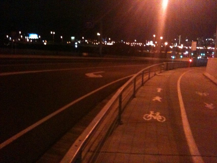
Notes: Poles in the middle of an already too narrow path. Understand bridge works have been cancelled, can we have safety fence and poles relocated out of the path?
Address: Docklands Hwy
Map: http://maps.google.com/maps?q=-37.806497,144.908409
Coordinates: -37.806497,144.908409
Photo:
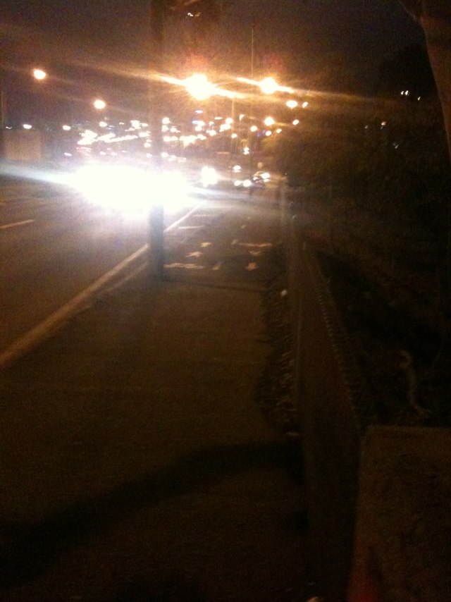
Notes: This is the main bike route for residents in the Western SUburbs. Up to 1000 people ride this route every day. This is just one of the problems here....
Address: Napier Street
Map: http://maps.google.com/maps?q=-37.806173,144.907629
Coordinates: -37.806173,144.907629
Photo:
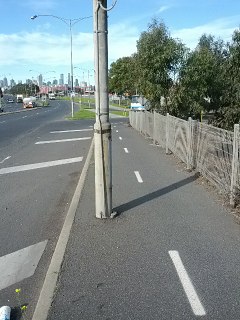
Notes: Most of street with very poor bike lanes
Address: 110 Duke St
Map: http://maps.google.com/maps?q=-37.071683,144.235768
Coordinates: -37.071683,144.235768
Photo:

Notes: crossing and turning traffic at base of descent with poor visibility of northbound descending bikes.
Address: 450 Nepean Hwy
Map: http://maps.google.com/maps?q=-38.264834,145.037269
Coordinates: -38.264834,145.037269
Photo:

Notes: Tree on track
Address: 128 Woodman Point View
Map: http://maps.google.com/maps?q=-32.133936,115.750847
Coordinates: -32.133936,115.750847
Photo:
Notes: Upfield bike path needs repair south of Brunswick pool. Tree roots pushing up path
Address: 20 Michael Street
Map: http://maps.google.com/maps?q=-37.808503,144.967842
Coordinates: -37.808503,144.967842
Photo:

Notes: Cars are constantly driving in the bike lane.
Address: 703 Park St
Map: http://maps.google.com/maps?q=-37.778181,144.960691
Coordinates: -37.778181,144.960691
Photo:
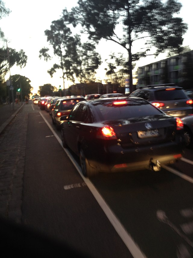
Notes: Bike path needed along this road, extremely tight lanes used by trucks and the edges of the road are bumpy, making it dangerous when trucks push you onto the edge. Too dangerous to ride two abreast. From the Homemakers centre to the roundabout which diverts to sunset/waggrakine/northampton.
Address: NW Coastal Hwy
Map: http://maps.google.com/maps?q=-28.756753,114.625490
Coordinates: -28.756753,114.625490
Photo:

Notes: Not well maintained bike/ pedestrian path.
Address: 83 Alexandra Ave
Map: http://maps.google.com/maps?q=-37.834391,144.994681
Coordinates: -37.834391,144.994681
Photo:

Notes: Park Street path recently extended across Amess street to give ped/bike priority. A small stroke of genius. Well done Yarra City Council. Love it every day!
Address: Park
Map: http://maps.google.com/maps?q=-37.813461,144.974377
Coordinates: -37.813461,144.974377
Photo:
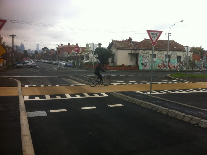
Notes: Cars repeatedly ignore the cycle path and pull out into the main road.
Address: 3 Park St
Map: http://maps.google.com/maps?q=-37.861269,144.974561
Coordinates: -37.861269,144.974561
Photo:

Notes: Debris, including sticks and small branches on many cycle paths left over from last weeks Perth storms.
Address: Jon Sanders Drive
Map: http://maps.google.com/maps?q=-31.914333,115.812278
Coordinates: -31.914333,115.812278
Photo:

Notes: Southbound on-road bike lane ends at Victoria St. Cyclists are squeezed into traffic lane outside Vic market due to cars and trucks parked.
Address: Peel St
Map: http://maps.google.com/maps?q=-37.805749,144.956167
Coordinates: -37.805749,144.956167
Photo:

Notes: Persistent pot hole , has been patched several times, but never really done properly.
Address: 149 Somerville Rd
Map: http://maps.google.com/maps?q=-37.812880,144.883602
Coordinates: -37.812880,144.883602
Photo:
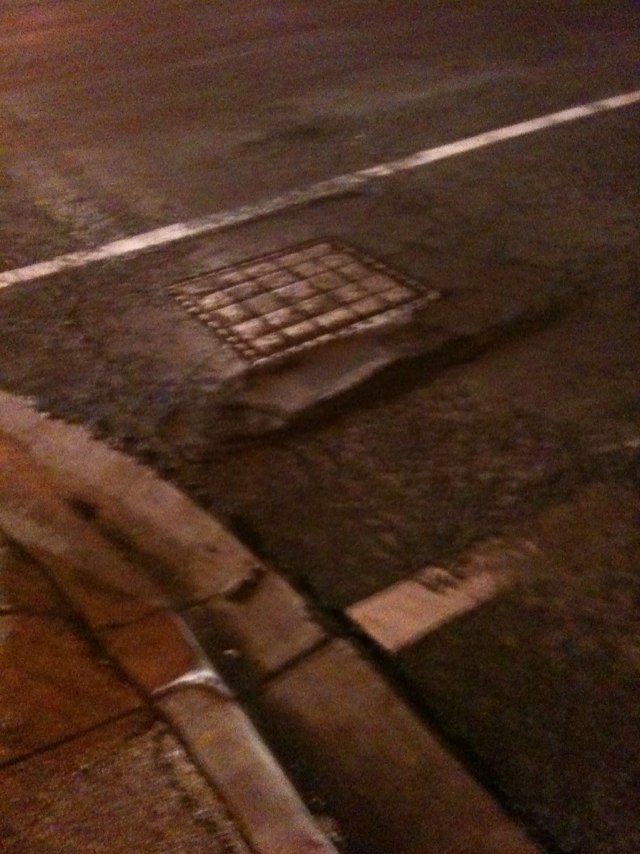
Notes: Lots of bike riders cross Whitehall at Parker in the morning. Saw a crash here as a car was attempting to cross the intersection, I was one of 3 bike rides waiting for a gap- we all amazingly escaped unscatherd. Very busy, sometimes chaotic traffic patterns ( outside lane at standstill, inside going at 60 , bike riders attempting to cross...). Needs lights, could be synchronized with lights on footscray rd to minimize delay. More people working at cotton mills too.
Address: 6 Parker St
Map: http://maps.google.com/maps?q=-37.807022,144.903217
Coordinates: -37.807022,144.903217
Photo:
Notes: Watch out for cars illegally taking a shortcut down this back street.
Address: Westfield St
Map: http://maps.google.com/maps?q=-37.783243,145.007691
Coordinates: -37.783243,145.007691
Photo:

Notes: Cars stop at the bus lane but not for cyclists. Be very cautious (especially down hill west bound!)
Address: 1 Coxs Ln
Map: http://maps.google.com/maps?q=-33.811648,151.167788
Coordinates: -33.811648,151.167788
Photo:

Notes: No lights for crossing Munro St on bike path. Lots of traffic.
Address: 37-41 Munro St
Map: http://maps.google.com/maps?q=-37.744683,144.963220
Coordinates: -37.744683,144.963220
Photo:

Notes: Narrow road with high risk from car doors along Centre Rd shops.
Address: 429 Centre Rd
Map: http://maps.google.com/maps?q=-37.918404,145.039530
Coordinates: -37.918404,145.039530
Photo:

Notes: roadway too narrow, cars accelerating in southbound lane from traffic light force bikes off roadway.
Address: 180 State Route 3
Map: http://maps.google.com/maps?q=-38.109890,145.125753
Coordinates: -38.109890,145.125753
Photo:

Notes: St Kilda junction city bound on St Kilda Rd is the most dangerous marked bike path that I have ever seen. Cars regularly make a last second effort to get onto the Queens Road exit lane from the right hand side of the bike path. In doing do, they must find a Gap between cyclists and also find a gap between cars on the other side of the bike lane. Cars travel quickly through the intersection, slowing down in a car is challenging due to pressure from the abundant traffic and there is a small window to make it across the bike lane and into the next lane before the Queens Road exit. Often bikes on this bike path find themselves with a truck to their left and another truck to their right which sometimes is looking to change lanes and who may have limited visibility of the cyclist. It is a diabolically dangerous bike path in peak hour. Note: unable to drag the pin to the correct danger spot on the map.
Address: 23 Meredith St
Map: http://maps.google.com/maps?q=-37.877282,144.979876
Coordinates: -37.877282,144.979876
Photo:

Notes: Upfield bike path south of Brunswick pool. Series of tree roots raising path causing dangerous sharp bumps
Address: 20 Michael Street
Map: http://maps.google.com/maps?q=-37.808561,144.967928
Coordinates: -37.808561,144.967928
Photo:

Notes: Builders trucks and bins blocking the bike path.
Address: 123 Collins st
Map: http://maps.google.com/maps?q=-37.816832,144.965784
Coordinates: -37.816832,144.965784
Photo:

Notes: Cars turning left into Auspac drive in bicycle lane or move left into bicycle lane without giving way to bicycles.
Address: 633 Church
Map: http://maps.google.com/maps?q=-37.810843,144.970356
Coordinates: -37.810843,144.970356
Photo:

Notes: Pothole on corner requires repair.
Address: Lease Rd
Map: http://maps.google.com/maps?q=-32.286246,115.704368
Coordinates: -32.286246,115.704368
Photo:
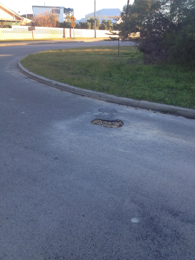
Notes: Numerous trucks belonging to a nearby commercial bakery parking inside the bike lane - including repeatedly around speed humps, preventing cyclists from riding around the trucks.
Address: 54-56 Langridge St
Map: http://maps.google.com/maps?q=-37.806646,144.986823
Coordinates: -37.806646,144.986823
Photo:

Notes: Real risk of magpie attack during magpie season. A very aggressive bird. Avoid if possible.
Address: Gower St
Map: http://maps.google.com/maps?q=-37.742782,145.025654
Coordinates: -37.742782,145.025654
Photo:

Notes: 8.45am King William Rd 150m south of Greenhill Rd
Address: 15 King William Rd
Map: http://maps.google.com/maps?q=-34.942750,138.600159
Coordinates: -34.942750,138.600159
Photo:
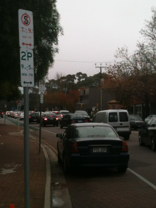
Notes: New cycle crossing on canning st and princes st carlton. During busy times cars stop across the bike and pedestrian crossing stopping the crossing of up to 30 bikes at a time
Address: 90 Rowe St
Map: http://maps.google.com/maps?q=-37.785698,144.990925
Coordinates: -37.785698,144.990925
Photo:
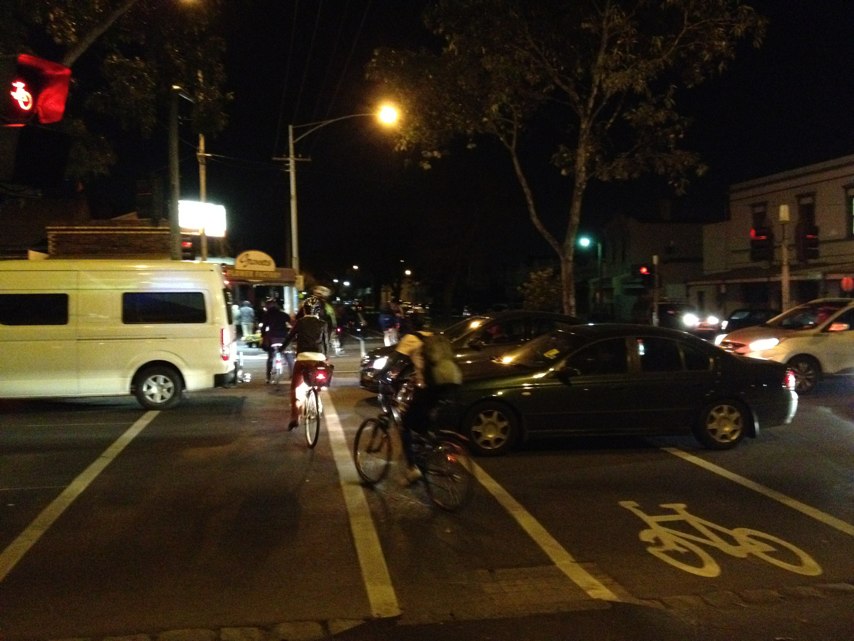
Notes: This hill is too steep! I cannot safely ride up it on the road. The bike track needs to continue up exhibition st please.
Address: 80 State Route 30
Map: http://maps.google.com/maps?q=-37.816158,144.972260
Coordinates: -37.816158,144.972260
Photo:

Notes: Cab drivers standing and socializing in bike paths between la trobe and Lt lonsdale sts
Address: Elizabeth st
Map: http://maps.google.com/maps?q=-37.810767,144.961531
Coordinates: -37.810767,144.961531
Photo:

Notes: Wonderful wide bike lane right down Royal Parade. More like this please!
Address: Royal Parade
Map: http://maps.google.com/maps?q=-37.787573,144.959385
Coordinates: -37.787573,144.959385
Photo:

Notes: It is very dangerous riding along the highway. I get to work by bike and travel along the NWCHWY from the northampton roundabout to the homemakers centre is very busy and is desperate need for a foot path. The road is so unsafe with trucks and buses passing me very close. If something was to happen I would be thrown from my bike and end up under a truck. Please do something soon.
Address: NW Coastal Hwy
Map: http://maps.google.com/maps?q=-28.756981,114.625338
Coordinates: -28.756981,114.625338
Photo:

Notes: It would be easy to have a path on the nature strip, with an eventual plan to have a bridge that leads onto a bike /walking path on the left side to match the right side of the bridge where they have a walking cycle path
Address: Chandler Hwy
Map: http://maps.google.com/maps?q=-37.785538,145.025437
Coordinates: -37.785538,145.025437
Photo:

Notes: Bike path has been decommissioned, whilst the bike lane on the road stops and starts putting riders at risk. Heavy traffic including trucks
Address: Wurundjeri way
Map: http://maps.google.com/maps?q=-37.816147,144.961877
Coordinates: -37.816147,144.961877
Photo:

Notes: Great idea.
Address: Bourke st
Map: http://maps.google.com/maps?q=-37.812604,144.969351
Coordinates: -37.812604,144.969351
Photo:
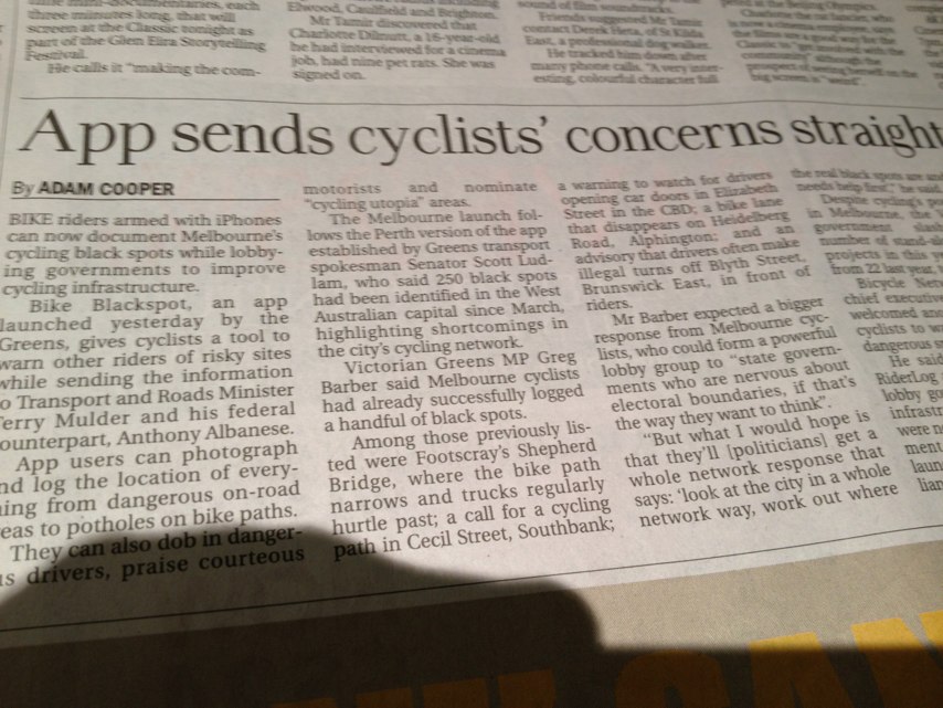
Notes: Cars parked at Maylands station are now crossing path to park on both sides of psp near caledonia ave. I have also witnessed cars driving on psp. PTA has put up a temp fence but this needs extending.
Address: Whately cres
Map: http://maps.google.com/maps?q=0.000000,0.000000
Coordinates: 0.000000,0.000000
Photo:

Notes: This is part of my daily route. I had wondered if there was something they could have added to make it safer. A couple weeks later (as if they read my mind) a bike lane was setup. Perfect
Address: Burchett St
Map: http://maps.google.com/maps?q=-37.765847,144.965372
Coordinates: -37.765847,144.965372
Photo:
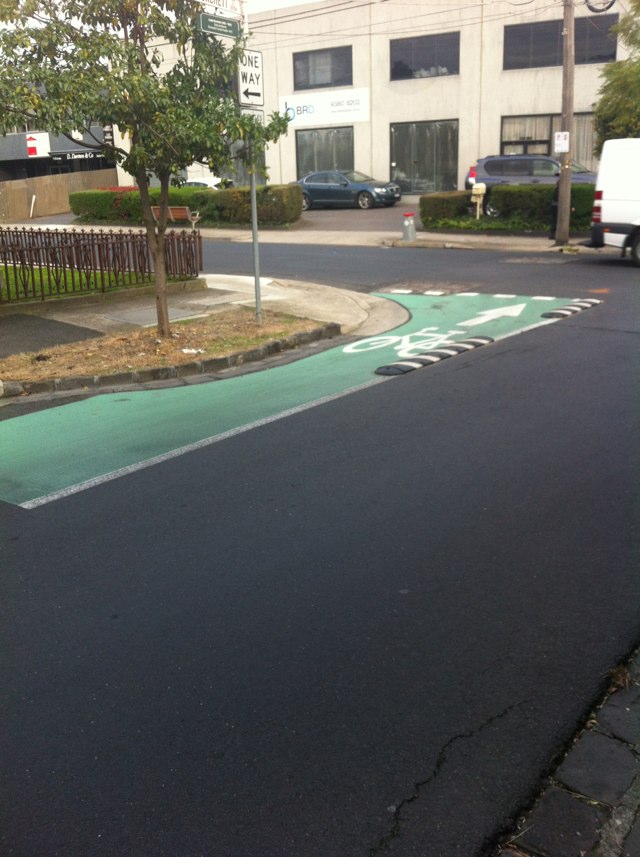
Notes: Holes in grate are too wide, and in the wrong orientation. A standard 23mm bike tyre gets easily stuck. This combined with the pot hole a little further and the hundreds of trucks add to the joy of negotiating this junction on a bike.
Address: 149 Somerville Rd
Map: http://maps.google.com/maps?q=-37.812973,144.883612
Coordinates: -37.812973,144.883612
Photo:
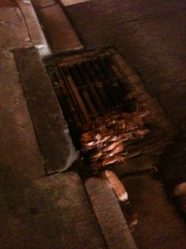
Notes: this is a restored 1983 Cecil Walker
Address: 43 Frater St
Map: http://maps.google.com/maps?q=-37.789570,145.061050
Coordinates: -37.789570,145.061050
Photo:
Notes: (null)
Address: Elizabeth St
Map: http://maps.google.com/maps?q=-37.814717,144.963334
Coordinates: -37.814717,144.963334
Photo:
Notes: As one follows into George Street from Queens Parade, the bike lane suddenly disappears completely forcing cyclists either up onto the footpath or to duel with traffic moving at high speed into what was bike space... this is quite a dangerous situation.
Address: George St
Map: http://maps.google.com/maps?q=-37.802341,144.895334
Coordinates: -37.802341,144.895334
Photo:

Notes: This is a blind exit for motorists, having to turn their head almost 180% to see cyclists coming down the cycle lane. There is a stop sign which also indicates drivers be cautious, however the angle of the exit makes it very difficult for motorists to see cyclists heading down hill westbound. The exit from the shell service station needs adjustment!
Address: 150 Epping road
Map: http://maps.google.com/maps?q=-33.803505,151.145982
Coordinates: -33.803505,151.145982
Photo:

Notes: In general, High street is not well paved and does not provide a safe bike path for cyclists.
Address: 183 State Route 24
Map: http://maps.google.com/maps?q=-37.851969,144.994261
Coordinates: -37.851969,144.994261
Photo:
Notes: Without a subway there is no continual access in the bike path between Fairbairn Park and the upper Maribyrnong.
Address: 327 State Route 38
Map: http://maps.google.com/maps?q=-37.770211,144.901509
Coordinates: -37.770211,144.901509
Photo:

Notes: This u-turn location is generally used by drivers at speed in order to bypass the need to turn right at Hawke St (traveling south) into Spencer st (going west). Very dangerous as drivers regularly race the lights. Needs a speed bump at minimum
Address: 97 Hawke St
Map: http://maps.google.com/maps?q=-37.807434,144.946763
Coordinates: -37.807434,144.946763
Photo:
Notes: The path from Napier st Fitzroy ends abruptly at Victoria pde. Going from Napier to Lansdowne, and from Lansdowne east Melb across Vic pde requires cyclists to mount the footpath to avoid cars crossing in front of them. A classic case of council boundaries ruining the good work done by councils to create good cycle routes.
Address: 21 Lansdowne St
Map: http://maps.google.com/maps?q=-37.809097,144.978242
Coordinates: -37.809097,144.978242
Photo:

Notes: Bike path crosses road and during rush hour it is very difficult to get a safe break in the traffic. Crossing means bikes come straight onto bike path on the riverside which is a collision hazard for bikes going straight on.
Address: Riverside Dr
Map: http://maps.google.com/maps?q=-31.962237,115.847461
Coordinates: -31.962237,115.847461
Photo:

Notes: A couple of poor patch jobs in the road here.
Address: Balcombe Rd
Map: http://maps.google.com/maps?q=-37.977848,145.034871
Coordinates: -37.977848,145.034871
Photo:

Notes: Rathdowne st just before princess st (inbound toward city). The bike lane comes to an end rapidly and provides a danger spot for those that use it
Address: 559 Rathdowne St
Map: http://maps.google.com/maps?q=-37.792185,144.971359
Coordinates: -37.792185,144.971359
Photo:

Notes: Bridge road surface has numerous extensive pot holes that run the width of road
Address: 55 Somerville Rd
Map: http://maps.google.com/maps?q=-37.813613,144.891936
Coordinates: -37.813613,144.891936
Photo:

Notes: (null)
Address: 57A Somerville Rd
Map: http://maps.google.com/maps?q=-37.813595,144.891476
Coordinates: -37.813595,144.891476
Photo:
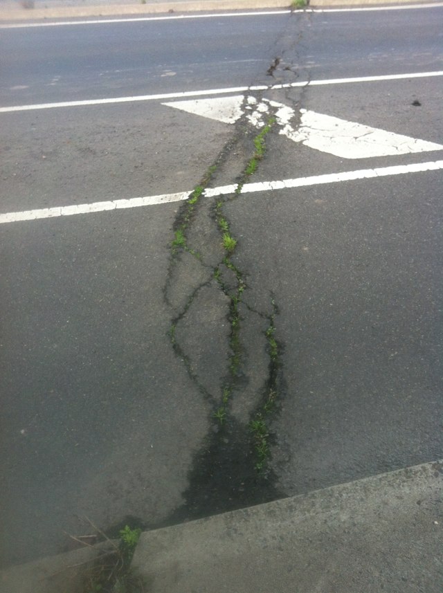
Notes: There is a part when you are coming from Footscray, down Williamstown road, that when you are in the right turn lane as you go around the corner there is gravel, I have nearly skidded on some occasions in my bike so I now take up the whole lane when I turn right just to avoid it. Thank you Joyce
Address: Williamstown road
Map: http://maps.google.com/maps?q=-37.799252,144.909008
Coordinates: -37.799252,144.909008
Photo:
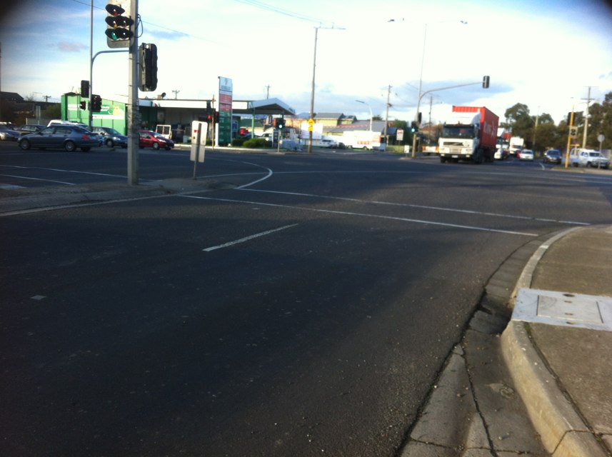
Notes: Road has been heavily corrugated for in excess of 6 months
Address: 587 New Canterbury Rd
Map: http://maps.google.com/maps?q=-33.905168,151.137242
Coordinates: -33.905168,151.137242
Photo:

Notes: Nepean hwy from long island bridge frankston to eel race rd carrum. Very narrow, high volume of traffic and no alternative for cyclists.
Address: Nepean hwy
Map: http://maps.google.com/maps?q=-37.884022,145.054089
Coordinates: -37.884022,145.054089
Photo:

Notes: Pothole on downhill side of steep hill-extremely dangerous for cyclists. (Exact location is westbound on the downhill side of Murradoc Hill)
Address: Murradoc Rd
Map: http://maps.google.com/maps?q=-38.183717,144.707768
Coordinates: -38.183717,144.707768
Photo:
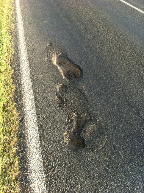
Notes: (null)
Address: Forest St
Map: http://maps.google.com/maps?q=-37.354985,144.528445
Coordinates: -37.354985,144.528445
Photo:

Notes: A couple of bad pot holes when heading north. 20 - 30m apart near this address
Address: 21 White Street
Map: http://maps.google.com/maps?q=-37.822592,144.917708
Coordinates: -37.822592,144.917708
Photo:

Notes: Cobble stones in bike lane, great idea. All cycles must ride up foot path to avoid death.
Address: 681 Chapel St
Map: http://maps.google.com/maps?q=-37.835219,144.996375
Coordinates: -37.835219,144.996375
Photo:

Notes: There is a main bike path along Batman Avenue but no bike path / bike marking on Exhibition Street. Two lanes of traffic each way plus side of road and centre of road parking. Bikes are pressured by cars. Getting to the bike path, leaving the city, means crossing road. There is no connection with the bike path.
Address: Exhibition St
Map: http://maps.google.com/maps?q=-37.815209,144.971981
Coordinates: -37.815209,144.971981
Photo:

Notes: Bakers Creek bridge: The road shoulder is impossible to ride in due to road surface irregularities caused by the expansion joints and accumulation of debris. Cyclists must ride about 20cm into the traffic lane. Yesterday a group of us had a heavy vehicle pass very close at high speed blasting the horn. Last year a cyclist was hit by a bus on the bridge. Solution: Maintain the road surface to a high standard, regular sweeping, shift edge lines about 20cm to provide more room, erect "watch for cyclists" signage, paint shoulders green with bike symbols.
Address: Bruce Hwy
Map: http://maps.google.com/maps?q=-21.213562,149.145862
Coordinates: -21.213562,149.145862
Photo:

Notes: Traveling west along Balcombe the bike lane disappears at The intersection of Reserve road forcing cyclists into the gutter as traffic bottlenecks at this location.
Address: 447 Balcombe Road
Map: http://maps.google.com/maps?q=-37.977701,145.034595
Coordinates: -37.977701,145.034595
Photo:

Notes: Horrendous. I will not ride my bike on wet or windy days on this bridge as I am too scared I will fall into the path of a truck. Need to separate truck and cyclist/pedestrians. Also the bridge is too narrow and has poles sticking out in the middle of the path.
The recently added lines to divide the path are hilarious. There is no way
I can keep to my side of the path when there is a pole in the middle!
Address: Napier st
Map: http://maps.google.com/maps?q=-37.806173,144.907629
Coordinates: -37.806173,144.907629
Photo: 
Notes: Debris all along bike path
Address: 364-368 Woodlands Dr
Map: http://maps.google.com/maps?q=-27.586513,153.230618
Coordinates: -27.586513,153.230618
Photo:

Notes: This is pure stupidity. I am not sure what I am expected to do here!
Address: Beach St
Map: http://maps.google.com/maps?q=-32.042023,115.755444
Coordinates: -32.042023,115.755444
Photo:
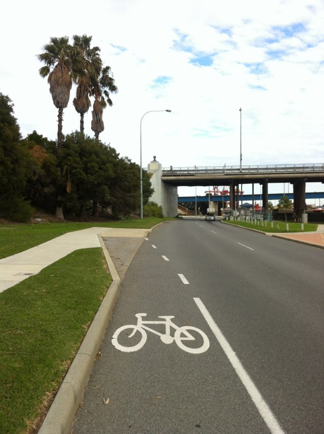
Notes: I am a new commuter using this intersection and traffic lights are needed badly. I have already seen a few near misses and am trying to figure out different ways to work to avoid this intersection. I understand VicRoads have a solution. This needs to be implemented ASAP, not only for bikes but for cars and trucks too.
Address: 6 Parker Street,
Map: http://maps.google.com/maps?q=-37.807171,144.903129
Coordinates: -37.807171,144.903129
Photo:

Notes: The set of lights for traffic heading south on Wellington street, collingwood at the intersection of Victoria parade the bike lane on Wellington street ends. Once in the middle of Victoria parade it is quite a tight fit for a bike and car to fit in one lane especially as both vehicles are coming off having their own lane. The pedestrian lights go green for peds to cross Victoria parade long before the traffic lights go green and wondering if it would make more sense to have a bike light go green when the Ped light goes green to clear the bikes out of the way first and then cars can go -much safer and better traffic flow for all!
Address: 73 State Route 32
Map: http://maps.google.com/maps?q=-37.809222,144.985430
Coordinates: -37.809222,144.985430
Photo:

Notes: We need a crossing for cyclists as this is part of the bike path.
Address: 37-41 Munro St
Map: http://maps.google.com/maps?q=-37.744761,144.963360
Coordinates: -37.744761,144.963360
Photo:
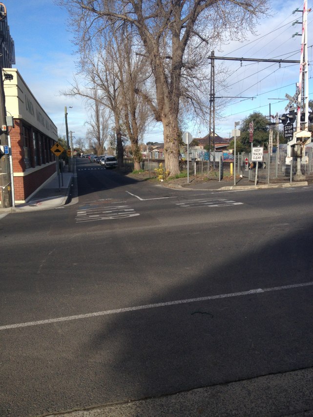
Notes: Park users more interested in their activity and not users of the bicycle lanes!
Address: St Kilda Street
Map: http://maps.google.com/maps?q=-37.824755,145.051649
Coordinates: -37.824755,145.051649
Photo:
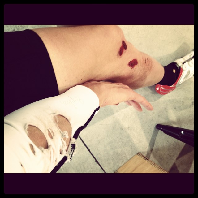
Notes: Bike right of way along Linear Park bike path - Give Way sign facing cars. Photo looking east along path. Great! All along Linear Park should have cross overs like this for bikes. Currently inconsistent.
Address: Amess St
Map: http://maps.google.com/maps?q=-37.779624,144.974497
Coordinates: -37.779624,144.974497
Photo:
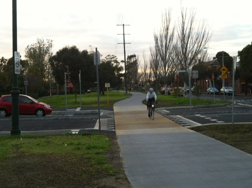
Notes: Test
Address: Cantonment St
Map: http://maps.google.com/maps?q=-32.053053,115.746779
Coordinates: -32.053053,115.746779
Photo:
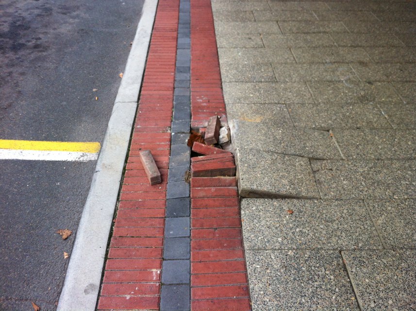
Notes: The road through the cutting is very narrow and too dangerous to ride. You have to go down to bridge rd, which is not much better.
Address: 2 Barkers Rd
Map: http://maps.google.com/maps?q=-37.812144,145.015564
Coordinates: -37.812144,145.015564
Photo:

Notes: Bridge is too narrow with no bike lanes, forcing cyclists to merge with vehiclesat 80km going uphill across a bridge. Debris, Pot holes and cracked concrete litters the guttering allong this stretch of road.
No other direct route from Fed Trail - Footscray avaliable.
Address: 554 Princes hwy
Map: http://maps.google.com/maps?q=-37.814971,144.855766
Coordinates: -37.814971,144.855766
Photo: 
Notes: Nearly Took out a rear vision mirror with my shoulder because a double length bus though it was a great idea to pass me when there was clearly not enough space for us both
Address: Adelaide St
Map: http://maps.google.com/maps?q=-32.051203,115.749422
Coordinates: -32.051203,115.749422
Photo:

Notes: Cambridge St, Subiaco, St John of God Hospital, needs a safe crossing for pedestrians, public transport users and bicycle riders to get to/from the hospital. The traffic drives very fast on Cambridge Street, and where this sort-of "crossing" is, there is a tree obstructing vehicles from seeing people trying to cross the road and vice versa. We urgently need a safe crossing. Please see attached photo.
Address: Cambridge Street, St John of God Hospital
Map: http://maps.google.com/maps?q=-31.906448,115.789392
Coordinates: -31.906448,115.789392
Photo:
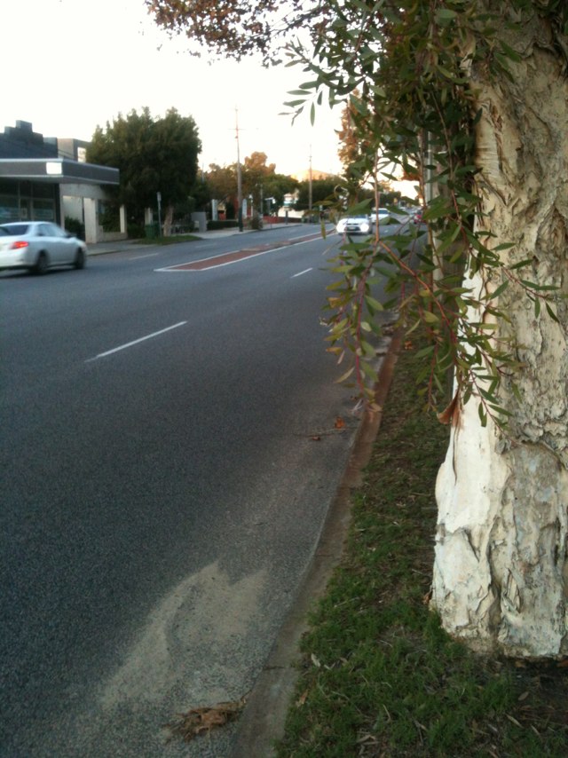
Notes: (null)
Address: 190 Hindley St
Map: http://maps.google.com/maps?q=-34.923042,138.592344
Coordinates: -34.923042,138.592344
Photo:
Notes: Cobble stones in bike lane. Total fail
Address: Chapel St
Map: http://maps.google.com/maps?q=-37.836915,144.996248
Coordinates: -37.836915,144.996248
Photo:
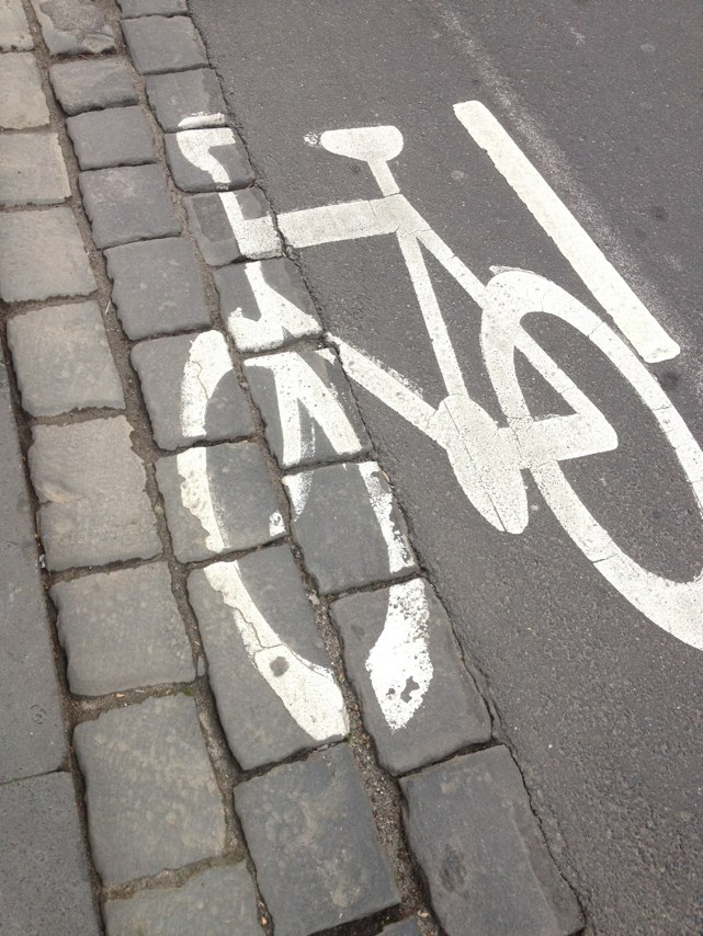
Notes: Just lazy
Address: 620 Church St
Map: http://maps.google.com/maps?q=-37.831413,144.996762
Coordinates: -37.831413,144.996762
Photo:
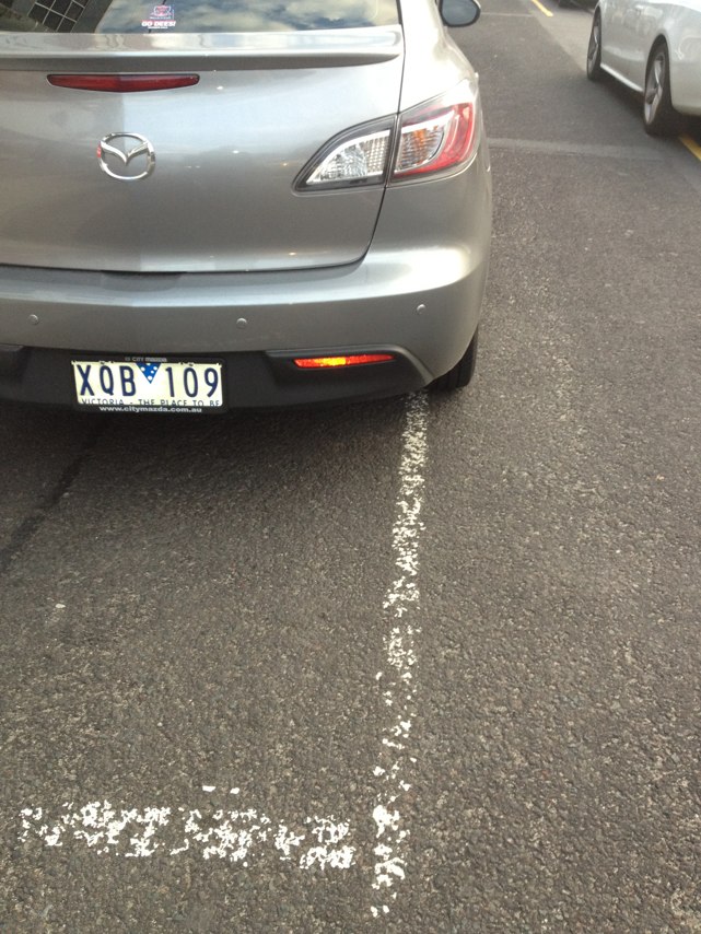
Notes: The bicycle track surface is extremely rough between the Banksia Street bridge crossing the Yarra river, and Dora street in Heidelberg. Re-surfacing is needed!
Address: 10 Banksia St
Map: http://maps.google.com/maps?q=-37.759931,145.073725
Coordinates: -37.759931,145.073725
Photo:

Notes: Inconsistent Give Way signs to give bikes right of way along Linear Park, Carlton/Fitzroy. Photo looking south along Rae St
Address: 500 Rae St
Map: http://maps.google.com/maps?q=-37.779888,144.980760
Coordinates: -37.779888,144.980760
Photo:
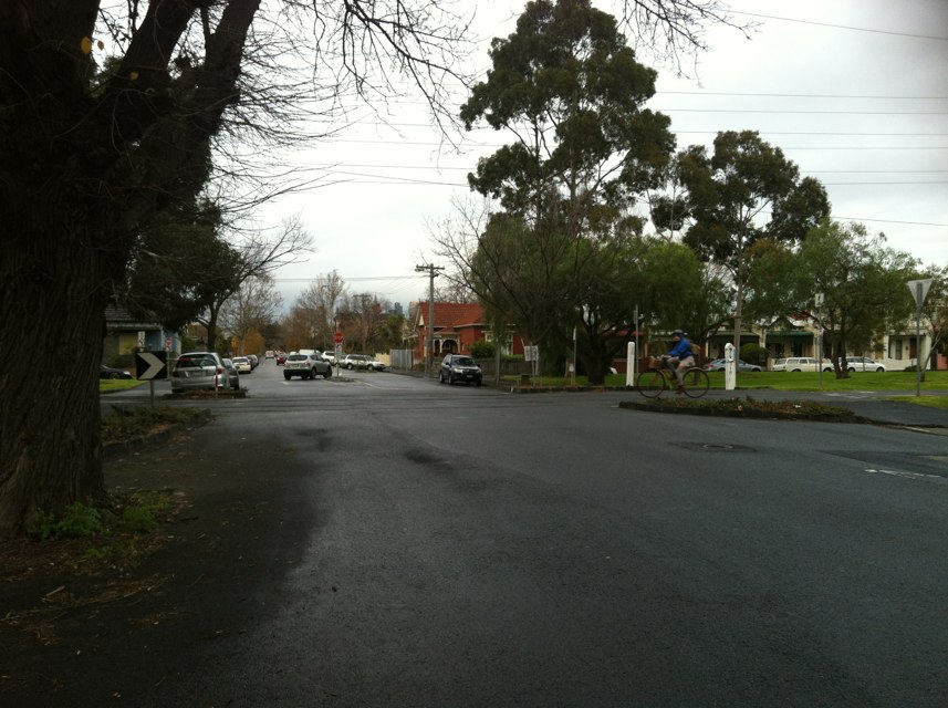
Notes: The road narrows so that you get squeezed out as cars go through the intersection trying to over take you
Address: 276 Ascotvale rd
Map: http://maps.google.com/maps?q=-37.772614,144.923980
Coordinates: -37.772614,144.923980
Photo:

Notes: More cobble and erosion
Address: 681 Chapel St
Map: http://maps.google.com/maps?q=-37.835233,144.996407
Coordinates: -37.835233,144.996407
Photo:
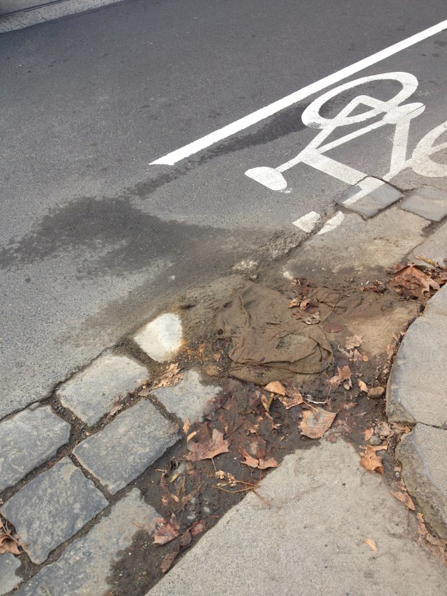
Notes: Inconsistent Give Way signs to five bikes the right of way along Linear Park Carlton/Fitzroy
Address: Brunswick St
Map: http://maps.google.com/maps?q=-37.780227,144.981878
Coordinates: -37.780227,144.981878
Photo:
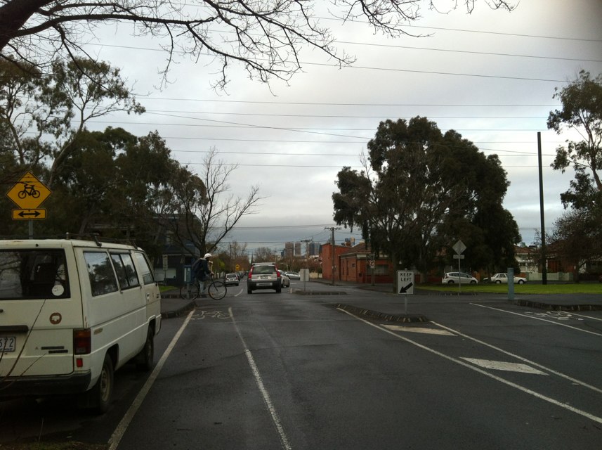
Notes: The entire length of Hopkins St, but in particular between Moore St and the bridge on the river - no bike lanes, trucks on road, narrow footpaths, very badly maintained surfaces, on a busy bike route.
Address: Hopkins Street
Map: http://maps.google.com/maps?q=-37.800334,144.904914
Coordinates: -37.800334,144.904914
Photo:

Notes: The whole of south bank is a death trap. So many bike vs ped incidents. A bike path along the river, from the boat sheds through to the bridge over to docklands would solve this.
Address: 8-10 Riverside Quay
Map: http://maps.google.com/maps?q=-37.820378,144.964196
Coordinates: -37.820378,144.964196
Photo:

Notes: Parked cars overflow from South Kensington train station
Address: Childers Street
Map: http://maps.google.com/maps?q=-37.799675,144.927332
Coordinates: -37.799675,144.927332
Photo:
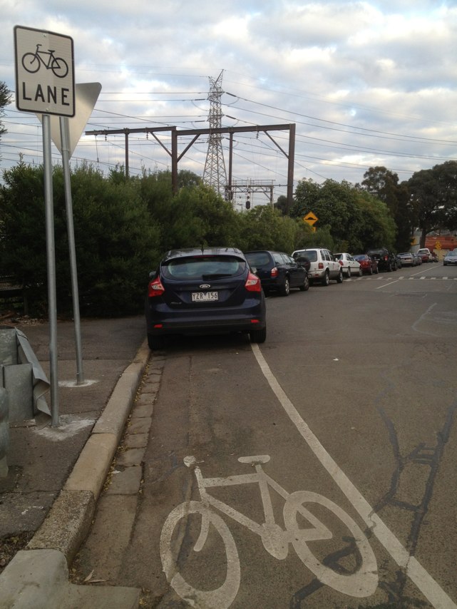
Notes: Extremely dangerous three lane roundabout with north-south traffic traveling through at up to 80kph. In addition, cars traveling from Templestowe towards Eltham will often turn left from the right-hand lane without indicating, cyclists to the left if these cars are forced to turn with otherwise they will be hit. This is the worst intersection for cyclists that I know.
Address: Fitsimmons Lane/Heidleberg-Warrandyte Road roundaboutroundabout
Map: http://maps.google.com/maps?q=-37.818193,144.961378
Coordinates: -37.818193,144.961378
Photo:

Notes: There is no bike lane on this rail bridge when west bound on the highway between newcastle and Maitland. It goes from excellent bike lane, to having to enter the lane with 90km/hr traffic, on a bend and a crest. A very bad mix!!
Address: New England Hwy
Map: http://maps.google.com/maps?q=-32.810882,151.671652
Coordinates: -32.810882,151.671652
Photo:

Notes: This road has only a narrow margin in parts. It connects High Wycombe / Maida Vale / Kalamunda to Guidlford and cyle paths which connect to Perth along the Swan River The road is narrow and carries significant levels of heavy traffic including multi trailer trucks. Provision for cylcits to connect to Guildford and the Swan River are inadeqaute.
Address: 3 Kalamunda Rd
Map: http://maps.google.com/maps?q=-31.914967,115.971873
Coordinates: -31.914967,115.971873
Photo:
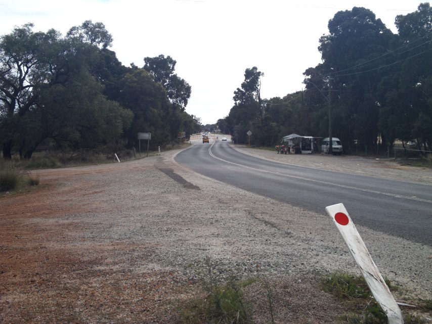
Notes: Grey Peugeot convertible rego number zbs867 deliberately squeezed another cyclist between parked cars. Then 100 meters further on deliberately swerved from the right lane at the cyclist at speed forcing cyclist to run off the road onto footpath. Witnessed by me following behind @ approximately 6:30pm.
Address: Maribyrnong Rd
Map: http://maps.google.com/maps?q=-37.770257,144.903359
Coordinates: -37.770257,144.903359
Photo:

Notes: Stirling crescent is the main connection from High Wycombe / Maida Vale to Midland and surrounding areas. This road is often used by cyclists for access to the worksites in the area and connection to the railway in Midland. There is no provision for cylcists on this main connection which carries heavy traffic including large numbers of heavy transport trucks.
Address: LOT 4 Stirling Crescent
Map: http://maps.google.com/maps?q=-31.913110,116.008712
Coordinates: -31.913110,116.008712
Photo:
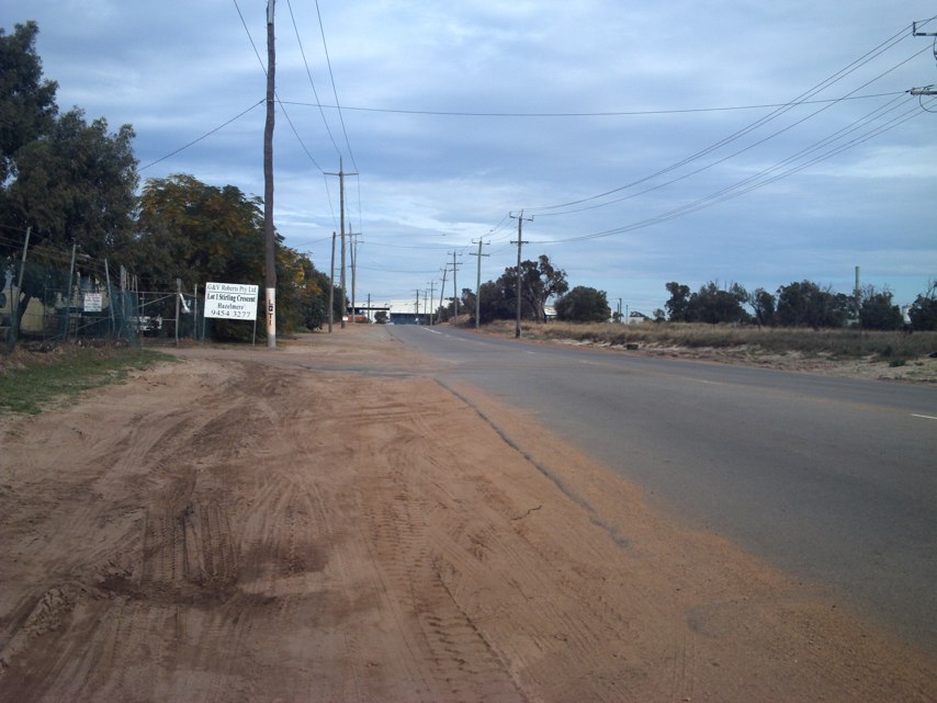
Notes: see. I commute to/from work every day and ride on Sundays or I did up to 25th April at about 9:30 am when I was involved in a Crash on South Perth Esplanade just to the east of Mend Street. I collided with a 4 wheel drive, the driver was more interested in looking for a car park and turned across my path. I sustained a fractured bone in my right elbow, a fractured bone in the left foot and server bruising to my left leg, left hand, right chest and right arm/shoulder. I received abuse from the passenger in the 4 wheel drive, and had to find my way home. My bike has $2,000 damage. I am currently waiting for the Driver to advise if they will pay for the repairs to my bike. I am pursuing this with BWA. I hope to be back on my bike soon when the injuries heal. I ride on the Shared Paths and roadway 6 days a week and consider the area around Mend Street and the South Perth Esplanade a Black Spot, I have had several near misses, and is some cases have had to go around the corner into Mend Street with a vehicle. The issue here is the path in Sir James Mitchell Park is excellent, however between here and the Narrows Bridge, the path is woeful, so most cyclist ride on the road. Some time ago, South Perth City Council decided to put in Traffic Calmers each side of Mend Street. I really dont know if it has slowed Vehicles, however, it has created a really bad hazard for cyclists. Just each side of these Traffic Calmers, is a rather large drain, so the cyclist have to move away from the curb to miss the drain, then move back to the curb to go over the edge of the Traffic Calmers. This issue caused was a main contribution to my crash. I can name many Black Spots in Perth. This e-mails just doesnt have enough space to name them all. We have a decided lack of understanding by Main Roads, Department of Transport, and local Councils/Shires about the safety needs of Cyclists. Very typically are cycle lanes on edge of roads that disappear, Shared Paths that just stop, or force the user to dangerous roadways etc. etc. We recently purchased a digital camera to mount on my bike, my cycling companions and myself are sick and tired of being on the receiving end of poor drivers or poor quality paths etc. More than happy to be involved with improving the safety of cyclists on our roads and paths. Regards Ian and Gail Chadwick Ian and Gail Chadwick 30 San Miguel Drive, LEEMING Western Australia 6149 Phone (08) 9332 8182 (home) 0417 998 600 (Ians Mobile) 0413 290 818 (Gails Mobile)
Address: S Perth Esplanade
Map: http://maps.google.com/maps?q=-31.971951,115.854070
Coordinates: -31.971951,115.854070
Photo:

Notes: Bike lane approaching Flemington Rd from Zoo disappears before intersection!
Address: Elliott Ave
Map: http://maps.google.com/maps?q=-37.789413,144.943787
Coordinates: -37.789413,144.943787
Photo:

Notes: Debris (gravel etc.) always in bike path due to construction - how about a sweep one in a while (council / construction company (WATPAC)
Address: 102-110 Olympic Blvd
Map: http://maps.google.com/maps?q=-37.824208,144.984903
Coordinates: -37.824208,144.984903
Photo:
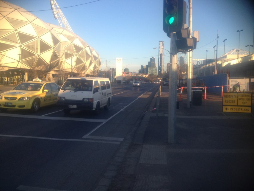
Notes: Well done Yarra Council
Address: 431 Rae St
Map: http://maps.google.com/maps?q=-37.782127,144.979811
Coordinates: -37.782127,144.979811
Photo:
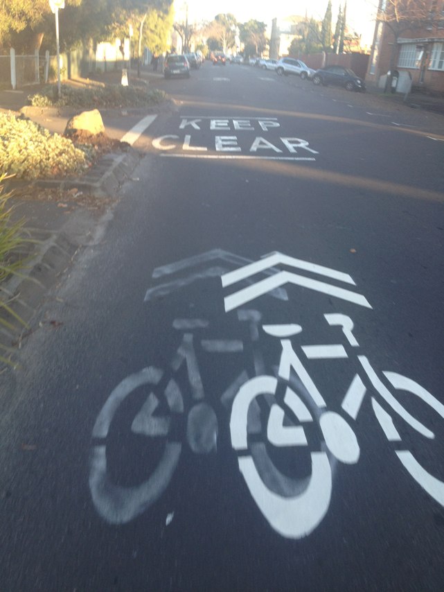
Notes: Bike paths on Latrobe St outside Etihad Stadium are very often closed off nowadays by builders. This makes it safer for the builders but more dangerous for cyclists - the builders need to think about mitigating risks rather than simply transferring their risks to the cycling community. Is this an issue best dealt with at local council level? Thanks Michael
Address: Latrobe St
Map: http://maps.google.com/maps?q=-37.818406,144.949706
Coordinates: -37.818406,144.949706
Photo:
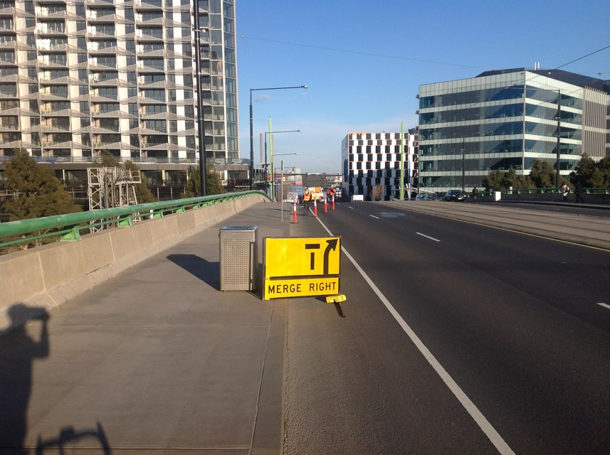
Notes: Excellent idea has improved safety for cyclists and helped drivers and pedestrians as well by keeping them separate with dedicated lights
Address: 51 State Route 46
Map: http://maps.google.com/maps?q=-37.805902,144.968848
Coordinates: -37.805902,144.968848
Photo:
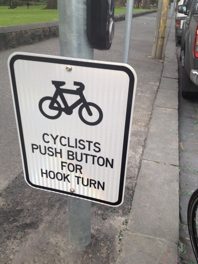
Notes: Surface has eroded badly around a manhole cover in the middle of the intersection right where the line is to make a turn.
Address: Hyde St
Map: http://maps.google.com/maps?q=-37.814259,144.897287
Coordinates: -37.814259,144.897287
Photo:

Notes: Despot the signs saying "no left turn" and "bus lane" cars always turn left and drive down the bus lane in te evening. Given this is a popular road for biks this is a serious road hazard.
Address: Johnston St
Map: http://maps.google.com/maps?q=-37.800496,144.999631
Coordinates: -37.800496,144.999631
Photo:

Notes: Very low railing on Ingles St bridge over Westgate Freeway northbound. Falling from a bike here could easily go over the railing onto the freeway. Higher railing on southbound side of road but no bike lane, have to ride on footpath.
Address: 323 Ingles St
Map: http://maps.google.com/maps?q=-37.825529,144.936977
Coordinates: -37.825529,144.936977
Photo:
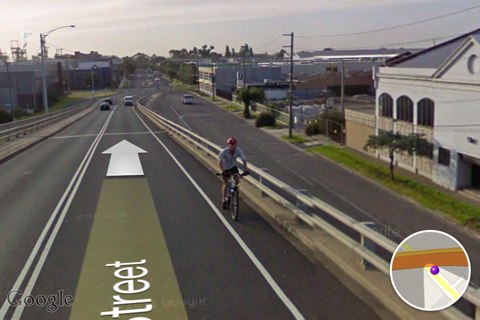
Notes: Post BTS roadworks, bike markings, lanes and trails obscured
Address: Glew st
Map: http://maps.google.com/maps?q=-37.776995,144.975439
Coordinates: -37.776995,144.975439
Photo:

Notes: This truck, and others from the Aurora Bakery (opposite where the truck is parked) is parked in the bike lane on a nightly basis. Making it worse, is that it is very close to a speed bump, forcing cyclists to cut a long way into the traffic lanes.
Address: 55 Langridge St
Map: http://maps.google.com/maps?q=-37.806817,144.986744
Coordinates: -37.806817,144.986744
Photo:
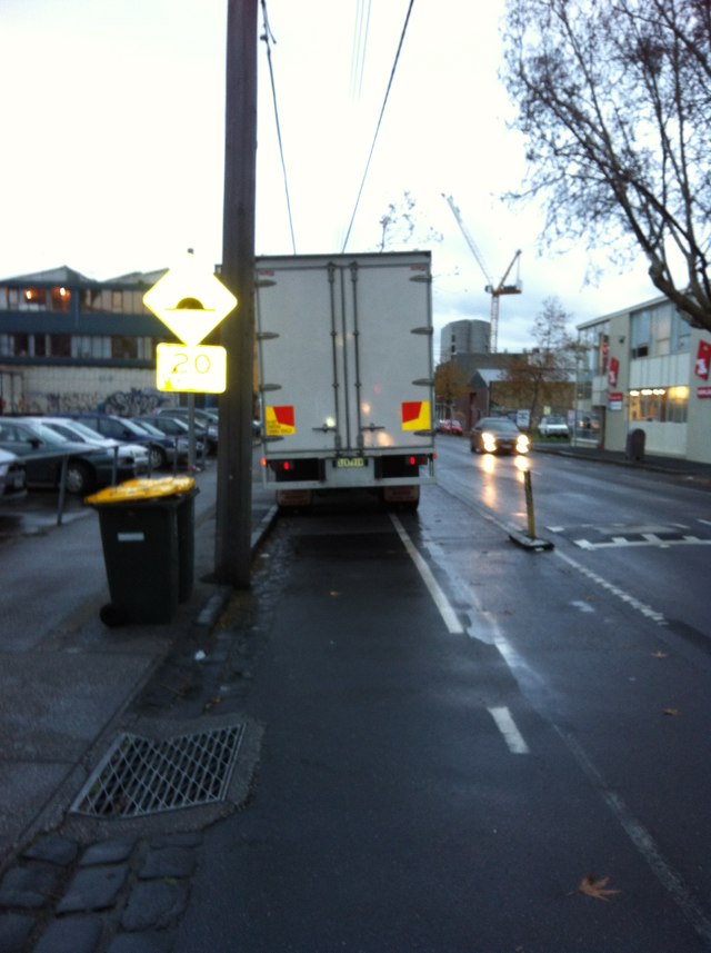
Notes: The bike lane on Anzac highway runs out and cyclists have to try and cross over two left hand turn lanes to rejoin the bike lane at the lights at the corner of Brighton road (heading west). The bike lane needs to be marked out like it is further up Anzac highway where it meets south road heading west. This at least protects the cyclist and makes motorists aware that the cyclist needs to go straight ahead.
Address: 670 A5
Map: http://maps.google.com/maps?q=-34.976353,138.520603
Coordinates: -34.976353,138.520603
Photo:

Notes: Riding west, into the city: road narrows and cars bank up at traffic light with Lennox St, leaving no room for the bikes from the kerb. Some cyclists ride between the 2 rows of cars - dangerous. Others jump on footpath. Suggestion: I believe the road is just wide enough to paint a narrower than standard green bike lane, edged by reflective plastic bumps (similar to some sections in the CBD).
Address: 218 Swan St
Map: http://maps.google.com/maps?q=-37.825859,144.999466
Coordinates: -37.825859,144.999466
Photo:

Notes: Needs a no standing section to alert cars not to block entrance to bike path.
Address: Park St
Map: http://maps.google.com/maps?q=-37.778890,144.966724
Coordinates: -37.778890,144.966724
Photo:
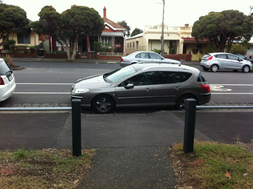
Notes: No way to get from Tyler street to station street. This makes it hard to git to and from the station. Also, motorists always try to "sneak through" after the light has turned red.
Address: 1 Station street
Map: http://maps.google.com/maps?q=-37.729848,145.005372
Coordinates: -37.729848,145.005372
Photo:
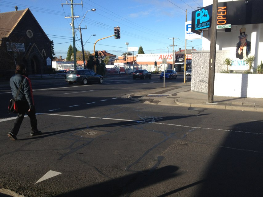
Notes: Second pot hole on road in area where cyclists ride
Address: 15 White street
Map: http://maps.google.com/maps?q=-37.775524,144.981064
Coordinates: -37.775524,144.981064
Photo:

Notes: Corner of kings way and Sturt street, south Melbourne is a very dangerous intersection for bikes, especially turning right across kings way. Because of this most bikes use the pedestrian crossings so perhaps these crossings need to accommodate bikes with signs/lights etc.
Address: Kings way
Map: http://maps.google.com/maps?q=-37.831936,144.966461
Coordinates: -37.831936,144.966461
Photo:

Notes: I have logged a blackspot report about this location previously. This morning I was riding along Southbank (slowly) when I hit and injured a young child that ran into my path. How much longer is it going to take the government to segregate pedestrians and cyclists along Southbank. Only last week I saw another pedestrian injured when walking into the path of cyclist. Is some affirmative action too much to ask? How many further injuries are to be sustained by pedestrians and cyclists before common sense prevails?
Address: Southbank Promenade
Map: http://maps.google.com/maps?q=-37.820476,144.948929
Coordinates: -37.820476,144.948929
Photo:

Notes: Blind corner
Address: 78 Gugeri St
Map: http://maps.google.com/maps?q=-31.976228,115.787251
Coordinates: -31.976228,115.787251
Photo:
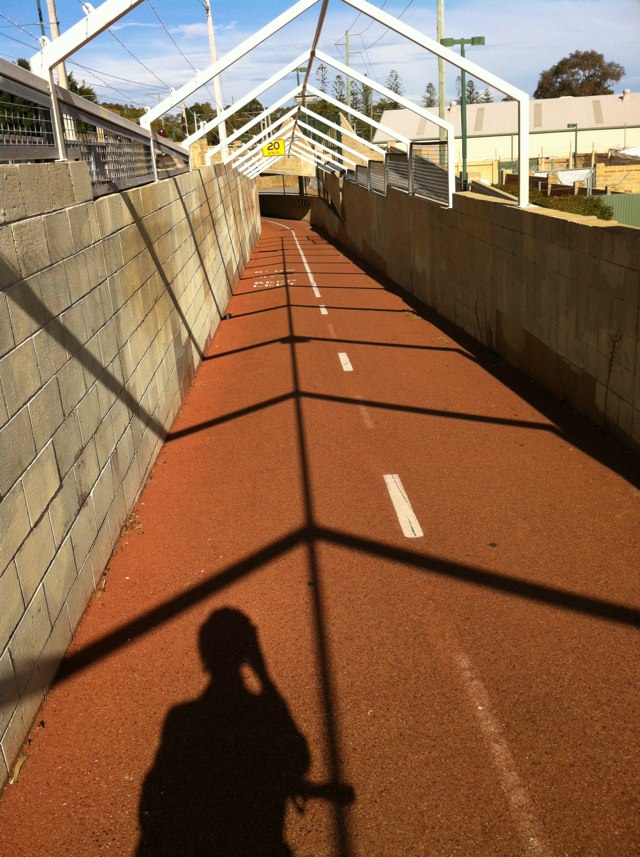
Notes: Bike path disappears and road becomes very narrow.... Sometimes safer to ride on pavement......
Address: 81-89 Victoria Parade
Map: http://maps.google.com/maps?q=-37.807889,144.977078
Coordinates: -37.807889,144.977078
Photo:

Notes: The Bay Trail between Mordialloc and Patterson Lakes is unsealed and over recent years has started to show severe signs of neglect. When it rains sections of the trail do not drain and turn to mud, leading to significant potholes when the ground finally dries out. The trail should be upgraded to the standard set by the Peninsula Link trail: three metres wide and sealed.
Address: 131 Thames Promenade
Map: http://maps.google.com/maps?q=-38.046379,145.129547
Coordinates: -38.046379,145.129547
Photo:

Notes: Crossing needed here to get across Fairfield rd from Fehlberg park please, joining up the marked bike paths. Currently only possible by waiting for approx 6 mins for 3-4 traffic lights changes to get over two sections of lights. Most people take their chances running 4 lanes of busy traffic instead. Even if you wait, the circuitous crossing is so narrow it causes pedestrian conflict. Thanks for considering- I have ridden here daily for over 3yrs and it is one of the most needed bike path link ups I know.
Address: Fairfield Rd
Map: http://maps.google.com/maps?q=-27.513957,153.019518
Coordinates: -27.513957,153.019518
Photo:
Notes: Tram track claims many cyclists for a tram that uses the crossing once or twice a day. Placing something over it which can b removed by the tram driver when required makes sense
Address: 313 Wendouree Parade
Map: http://maps.google.com/maps?q=-37.553288,143.822451
Coordinates: -37.553288,143.822451
Photo:

Notes: Bridge road is a significant north-south route that would benefit from dedicated bike lanes.
Address: Bridge Rd
Map: http://maps.google.com/maps?q=-34.818356,138.641041
Coordinates: -34.818356,138.641041
Photo:

Notes: (null)
Address: Westgarth
Map: http://maps.google.com/maps?q=-37.781321,144.998630
Coordinates: -37.781321,144.998630
Photo:
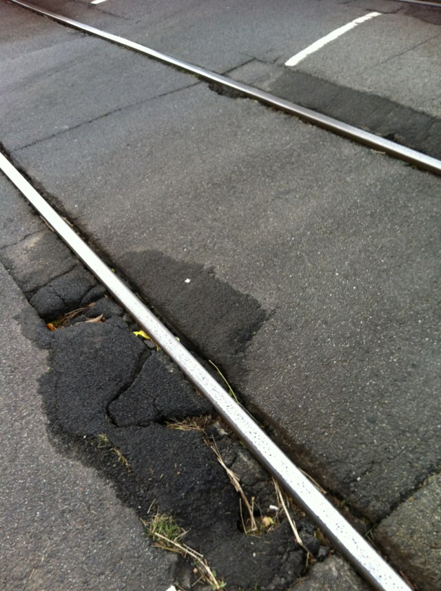
Notes: No segregated pedestrian and bike lanes on Southbank promenade.
Address: 1 Southbank Blvd
Map: http://maps.google.com/maps?q=-37.820904,144.962561
Coordinates: -37.820904,144.962561
Photo:

Notes: Path along Armadale Road ends heading North North West along Armadale Road towards Freeway. Path needed to link Armadale Road to the Freeway and ultimately to the city.
Address: 3 Dumsday Drive
Map: http://maps.google.com/maps?q=-32.148066,115.937200
Coordinates: -32.148066,115.937200
Photo:

Notes: pot hole, on road in area where cyclists would ride, dangerous!
Address: 19 White street
Map: http://maps.google.com/maps?q=-37.775318,144.981094
Coordinates: -37.775318,144.981094
Photo:
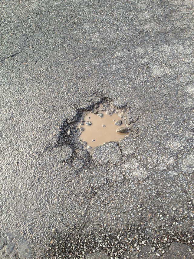
Notes: Give Way Holding Bar for non-priority leg (Cator St) intrudes too far into Conyngham Street. As a result vehicles on Cator St approach intersection too quickly and present a danger to cyclists riding along or close to the parking lanes.
Address: Cator St
Map: http://maps.google.com/maps?q=-34.942847,138.633869
Coordinates: -34.942847,138.633869
Photo:

Notes: Major pothole right in middle of bike lane when it cuts across left turn lane before major intersection and downhill descent.
Address: Diamond creek road
Map: http://maps.google.com/maps?q=-37.690296,145.113892
Coordinates: -37.690296,145.113892
Photo:

Notes: Shared path ends suddenly with no redirects.
Address: 233 North Terrace
Map: http://maps.google.com/maps?q=-34.921203,138.605025
Coordinates: -34.921203,138.605025
Photo:
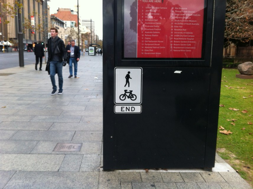
Notes: At Melbourne University on Swanston St, heading north, the bike lane suddenly ends for no apparent reason. After the Copenhagen bike lane ends at Grattan St, there is a normal painted bike lane from Grattan to Faraday St. Then, suddenly, between Faraday St and Elgin St, the bike lane ends and there are two normal traffic lanes, and nowhere for cyclists to go. The bike lane reappears on the northern side of Elgin St. It seems especially bizarre that this should happen at that spot, on a street that is supposed to be a cycling thouroughfare. Surely the Copenhagen lane should be extended to Elgin St.
Address: Swanston Street
Map: http://maps.google.com/maps?q=-37.796806,144.964554
Coordinates: -37.796806,144.964554
Photo:

Notes: Cars routinely drive down the bike path along Westgarth St. to avoid queuing when the traffic is heavy.
Address: Westgarth St
Map: http://maps.google.com/maps?q=-37.781034,144.996293
Coordinates: -37.781034,144.996293
Photo:

Notes: Cafe sign is placed on pathway.
Address: Davey St
Map: http://maps.google.com/maps?q=-42.880609,147.334359
Coordinates: -42.880609,147.334359
Photo:
Notes: 2 lane roundabout. Very dangerous at peak hours
Address: Moores creek road
Map: http://maps.google.com/maps?q=-23.352509,150.522873
Coordinates: -23.352509,150.522873
Photo:
Notes: The bike path from Norris bank park continues across Settlement road along the creek. To get to it you need to dismount, walk through an off road section and cross settlement road with no dedicated crossing .
Address: Settlement Rd
Map: http://maps.google.com/maps?q=-37.695927,145.046010
Coordinates: -37.695927,145.046010
Photo:

Notes: Why is parking permitted in the bike lane? Bike lanes do not double as parking bays - you endanger cyclists this way.
Address: 8 Little Capper St
Map: http://maps.google.com/maps?q=-34.921784,138.616498
Coordinates: -34.921784,138.616498
Photo:
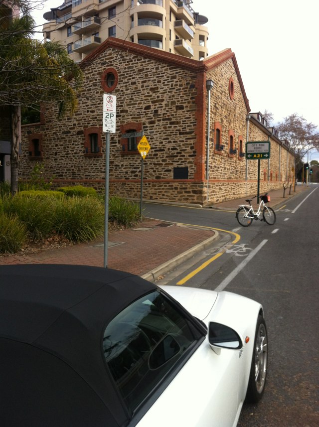
Notes: Upfield bike path becomes dangerous at the Jewell Station when bikes and train users come together. VicTrack is upgrading so a great time to advocate better transporting infrastructure here. Photo looking South along bike path.
Address: 32 Wilson Ave
Map: http://maps.google.com/maps?q=-37.774893,144.959217
Coordinates: -37.774893,144.959217
Photo:
Notes: Trees are overhanging cycle path along adderley st between bunnings and silver water rd. auburn
Address: Adderley st
Map: http://maps.google.com/maps?q=-33.841564,151.038376
Coordinates: -33.841564,151.038376
Photo:

Notes: On west approach of Latrobe St bridge in docklands - opposite ethiad stadium. Each day more cars r parking in bike lane just after the traffic lights.
Address: 1000 La Trobe St
Map: http://maps.google.com/maps?q=-37.814547,144.946167
Coordinates: -37.814547,144.946167
Photo:

Notes: Cyclist forced to ride in general car/bus lane (photo of cyclist taken from inside bus)
Address: 31 Wiluna St
Map: http://maps.google.com/maps?q=-31.911042,115.848920
Coordinates: -31.911042,115.848920
Photo:

Notes: There is a missing section of the Bay Trail between Gould Street, Frankston and Station Street, Seaford, parallel to Nepean Highway, a distance of just 3 km. Frankston Council are totally incapable of making a decision on where this missing section should go - for example reclaiming parking spaces along Nepean Highway for space for a bidirectional bike path.
Address: Gould Street
Map: http://maps.google.com/maps?q=-38.135921,145.122025
Coordinates: -38.135921,145.122025
Photo:

Notes: Pic is on Phillips st looking east straight across port road. I want to go straight across port road so I press the bike button in the pic. Cars can still turn left in front of you to go up port road because they get a green light. If a pedestrian presses the button to go across port road cars at the lights get a red arrow.
Address: Phillips St
Map: http://maps.google.com/maps?q=-34.913455,138.577655
Coordinates: -34.913455,138.577655
Photo:
Notes: Cars use the bike lane to avoid traffic here. Be careful.
Address: 1 Trenerry Crescent
Map: http://maps.google.com/maps?q=-37.800315,145.000007
Coordinates: -37.800315,145.000007
Photo:
Notes: More odd signage. Bike lane ends then starts again 20 meters later.
Address: 8 Winston Ave
Map: http://maps.google.com/maps?q=-34.968042,138.581834
Coordinates: -34.968042,138.581834
Photo:

Notes: http://youtu.be/4m2q2u2WA3s Roadworks at intersection of Cotter Rd and Tuggeranong Parkway. Incident took place on 26-Jun-12.
Address: Cotter Rd
Map: http://maps.google.com/maps?q=-35.320560,149.063037
Coordinates: -35.320560,149.063037
Photo:

Notes: Dangerous road surface at level crossing
Address: Richardson rd
Map: http://maps.google.com/maps?q=-23.344860,150.515182
Coordinates: -23.344860,150.515182
Photo:
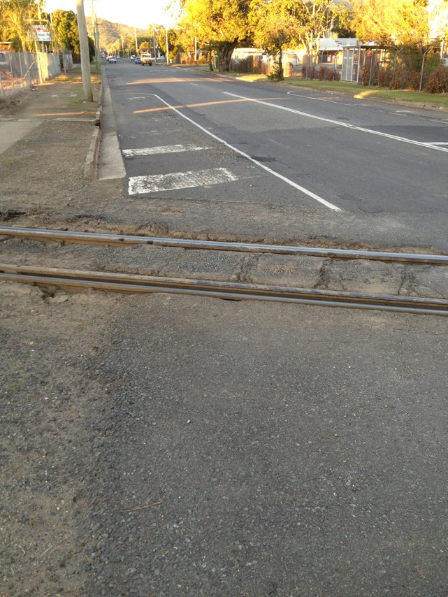
Notes: Irregularity in downhill surface stopped my front wheel and caused my bike to flip up, throwing me over the handlebars.
Address: 107 Nelson Rd
Map: http://maps.google.com/maps?q=-37.748536,145.358658
Coordinates: -37.748536,145.358658
Photo:

Notes: Merging on left across 2 lanes of South Rd is hell on a bike during peak hour.
Address: S Rd
Map: http://maps.google.com/maps?q=-35.011189,138.575871
Coordinates: -35.011189,138.575871
Photo:
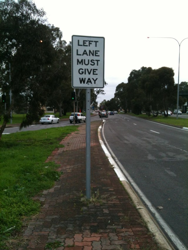
Notes: Bike and pedestrian path along Armadale Road has tree roots displacing the path and making it frustrating and more dangerous.
Address: 26 Jaffa Close
Map: http://maps.google.com/maps?q=-32.147003,115.985734
Coordinates: -32.147003,115.985734
Photo:

Notes: Armadale Road cycle path on the Southern side heading east just ends. No option to cross road at all and just ends. This side would be better to have the cycle/pedestrian path on as it has less trees to displace path.
Address: 24 Mandarin Way
Map: http://maps.google.com/maps?q=-32.147274,115.989256
Coordinates: -32.147274,115.989256
Photo:

Notes: Every day at school pickup time, watch out for 4WDs in the bike lane and stay well clear of door zone on the left!
Address: 214 Wakefield St
Map: http://maps.google.com/maps?q=-34.928439,138.609775
Coordinates: -34.928439,138.609775
Photo:

Notes: Bike lane ends just when it is most needed. Cyclists forced to compete with merging cars until after intersection.
Address: 141 Currie St
Map: http://maps.google.com/maps?q=-34.924585,138.593378
Coordinates: -34.924585,138.593378
Photo:
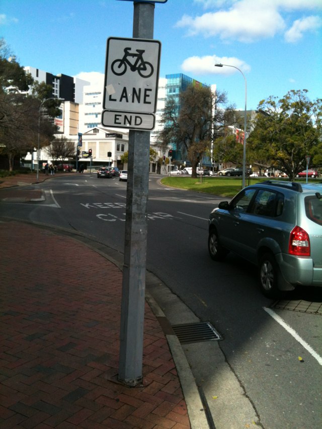
Notes: Cars always parked in front of take away shops during bike lane times.
Address: Cross Rd
Map: http://maps.google.com/maps?q=-34.967477,138.568257
Coordinates: -34.967477,138.568257
Photo:

Notes: Crossover has been built that extends into the bike lane and creates a dangerous and potentially wheel damaging obstacle.
Address: Barkly St
Map: http://maps.google.com/maps?q=-37.858707,144.982775
Coordinates: -37.858707,144.982775
Photo:

Notes: Cars frequently cut into the thin bike lane at the beginning of the intersection and squeeze riders into the traffic island
Address: Sydney road and brunswick road, north east corner
Map: http://maps.google.com/maps?q=-37.777088,144.960373
Coordinates: -37.777088,144.960373
Photo:
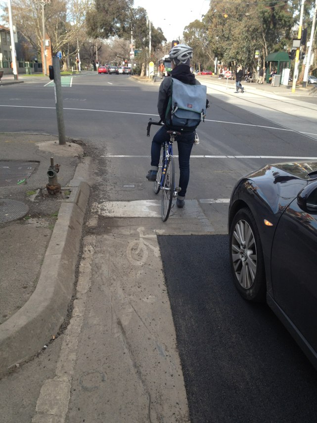
Notes: Bike lane changes from "all hours" to limited hours even though all businesses have off street parking. Bike lane should be permanent.
Address: S Rd
Map: http://maps.google.com/maps?q=-35.003600,138.575683
Coordinates: -35.003600,138.575683
Photo:
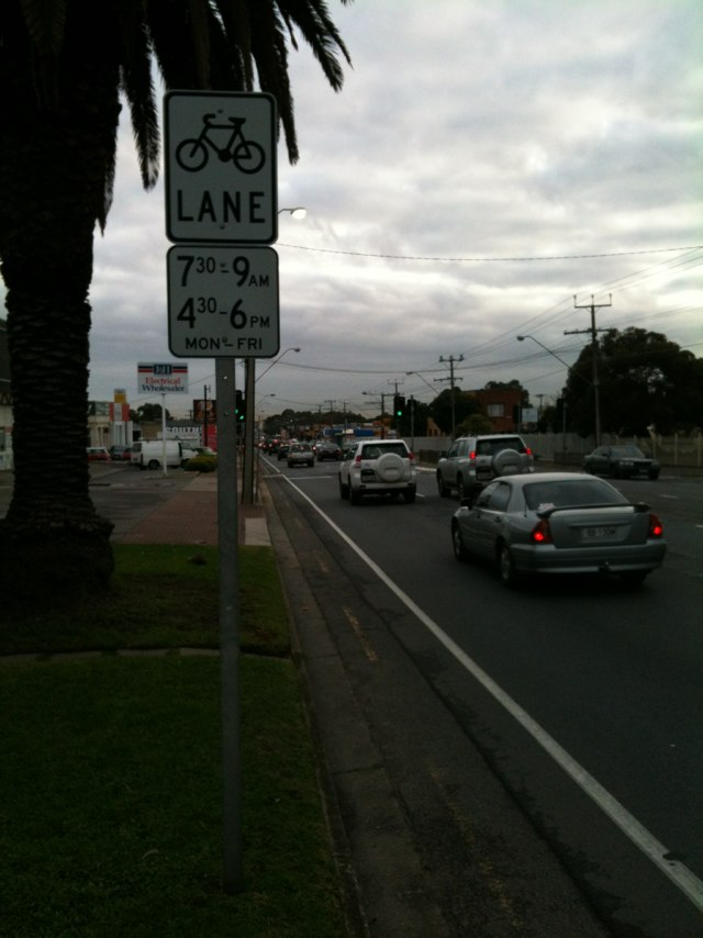
Notes: Good bike lane but why only the morning peak? Should be both peaks or all day.
Address: Daws Rd
Map: http://maps.google.com/maps?q=-34.992491,138.579034
Coordinates: -34.992491,138.579034
Photo:

Notes: No bike lane after traffic lights, city bound. Must merge with fast flowing traffic. I got "doored" there today.
Address: 605 Victoria St
Map: http://maps.google.com/maps?q=-37.811219,145.007246
Coordinates: -37.811219,145.007246
Photo:

Notes: Test
Address: 14 James St
Map: http://maps.google.com/maps?q=-37.854957,144.994000
Coordinates: -37.854957,144.994000
Photo:
Notes: Path cleaned ! Thanks
Address: Olympic Blvd
Map: http://maps.google.com/maps?q=-37.823751,144.982295
Coordinates: -37.823751,144.982295
Photo:

Notes: Cycle Lane on the road is cut off at roundabout. Roundabout is not clearly marked with lanes. Bitumen is lumpy on road.
Address: 13 Twelfth Road
Map: http://maps.google.com/maps?q=-32.147411,115.973433
Coordinates: -32.147411,115.973433
Photo:

Notes: Off road red bitumen cycle path finishes and a nice bumpy road is provided which everyone envies.
Address: 58 Riverside Lane
Map: http://maps.google.com/maps?q=-32.147420,115.977514
Coordinates: -32.147420,115.977514
Photo:

Notes: Broken glass all over the bike path
Address: 55 High St
Map: http://maps.google.com/maps?q=-37.781123,144.996657
Coordinates: -37.781123,144.996657
Photo:
Notes: Large hole in bike track
Address: 91 Grant St
Map: http://maps.google.com/maps?q=-37.594260,143.831551
Coordinates: -37.594260,143.831551
Photo:

Notes: The gated chicane on the Bay Trail at the end of Wilson Grove in Seaford is presumably designed to prevent illegal motorbikes from using the trail, however it also prevents cyclists with cargo bikes, bike trailers, recumbents, tandems, etc from legally using the trail. It does NOT prevent smaller motorbikes (eg. minibikes) from illegally entering. There are several gates like this dotted around the Seaford wetland area, including some newly installed gates on the already build section of the Peninsula Link trail. It is my belief that the gates serve very little purpose other than to frustrate riders and prevent more people from legally using the trail.
Address: Wilson Grove
Map: http://maps.google.com/maps?q=-38.093086,145.135147
Coordinates: -38.093086,145.135147
Photo:

Notes: The Baxter trail crosses Hillcrest Road. Drivers travelling southeast along Hillcrest Road have to negotiate a blind corner just before the trail crossing. The intersection of the trail is not signed appropriately. The danger here is amplified by the fact that drivers are busy observing the railway crossing lights/booms, meaning they tend to ignore cyclists and pedestrians using the crossing.
Address: 71 Hillcrest Road
Map: http://maps.google.com/maps?q=-38.153587,145.143692
Coordinates: -38.153587,145.143692
Photo:

Notes: The cross-overs between the two Cheddar Roads crosses a bike shared path which is on the easement between the two roads. These cross-overs and the bike path are unprotected intersections. Cars often fail to check for cyclists. Solution. Re-route the bike path at the cross-overs so the path crosses the cross-overs in the middle of the easement. Copy the same design treatment as the cross-overs on St Georges Rd bikepath - Northcote.
Address: 80 Cheddar Rd
Map: http://maps.google.com/maps?q=-37.705688,145.015930
Coordinates: -37.705688,145.015930
Photo:

Notes: Much of the Dandenong Creek trail between Carrum and Dandenong has been severely neglected. Large potholes have formed in some places and there is a large amount of loose gravel in others. The trail often holds standing water long after it has rained. Weeds have started growing over the path in some sections. The trail on the western side of the Wells Road bridge that goes under the bridge is very narrow and more like a goat track than a bike path. It is fairly obvious little or no maintenance has been done since the trail was built. The trail needs to be upgraded to the standard set by the Peninsula Link trail. That is 3 metres wide and sealed, with adequate drainage.
Address: 14 North Shore Drive
Map: http://maps.google.com/maps?q=-38.066113,145.140137
Coordinates: -38.066113,145.140137
Photo:

Notes: Lack of bike lane along major bike route
Address: Winston Ave
Map: http://maps.google.com/maps?q=-34.980168,138.582852
Coordinates: -34.980168,138.582852
Photo:
Notes: Bad pot hole in bike lane
Address: 31-45 Station St
Map: http://maps.google.com/maps?q=-37.877468,145.041584
Coordinates: -37.877468,145.041584
Photo:
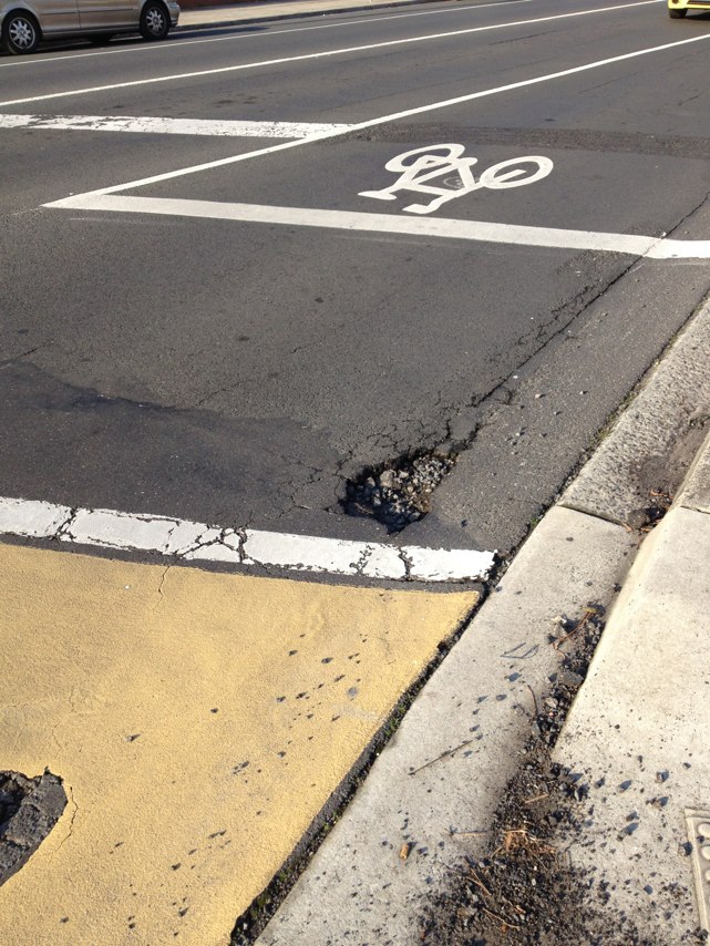
Notes: Great to see cyclist lights on the corner of Wellington street and langridge street collingwood!!
Address: Langridge street and wellington street
Map: http://maps.google.com/maps?q=-37.806602,144.986084
Coordinates: -37.806602,144.986084
Photo:

Notes: Sir Donald Bradman Drive oddly begins its life without a bike lane after Tapleys Hill Road. I defer to the side road until the bike lane finally makes its belatedly appearance after 150m.
Address: Tapleys Hill Rd
Map: http://maps.google.com/maps?q=-34.934196,138.517245
Coordinates: -34.934196,138.517245
Photo:
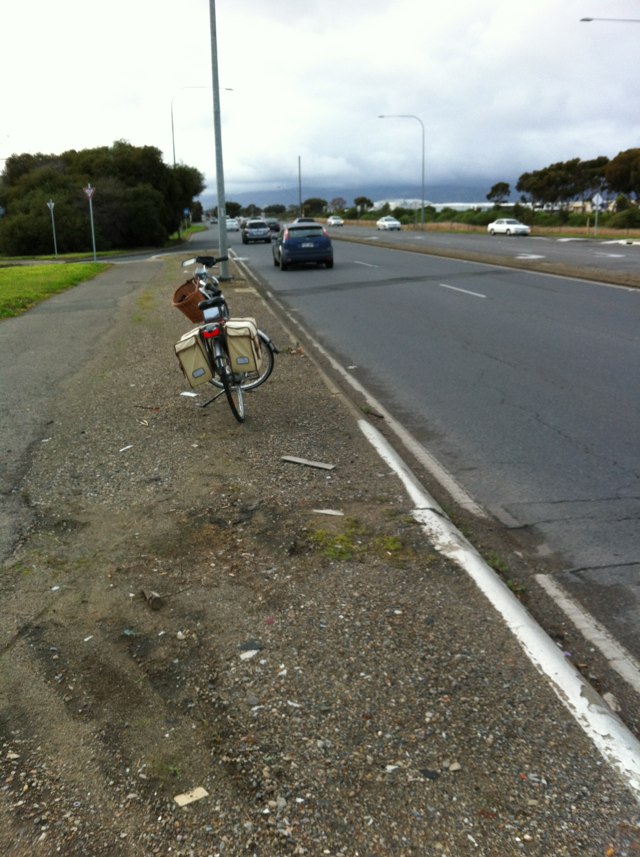
Notes: Cars continually take this corner too fast and cut the corner as a result. Cars not aware of green bike lane and I think this corner is an accident waiting to happen. One day a bike will get squeezed off the road on this corner.
Address: 79 Whitmore square
Map: http://maps.google.com/maps?q=-34.933990,138.594070
Coordinates: -34.933990,138.594070
Photo:

Notes: This section of Burbridge Road has NO bike lane whatsoever until the approach to West Beach shopping centre. As a regular commuter along this section I defer to the footpath rather than run the gauntlet of anxious drivers at the end of their home run from work.
Address: Tapleys Hill Rd
Map: http://maps.google.com/maps?q=-34.934566,138.517015
Coordinates: -34.934566,138.517015
Photo:
Notes: The East-West bike lane along Henley Beach Road abruptly ends at the intersection of South Road. Cyclist must navigate a perilous stretch of unprotected road for about 100m before the bike lane resumes. This is a worrying stretch of road.
Address: 87 Henley Beach Rd
Map: http://maps.google.com/maps?q=-34.923870,138.569995
Coordinates: -34.923870,138.569995
Photo:
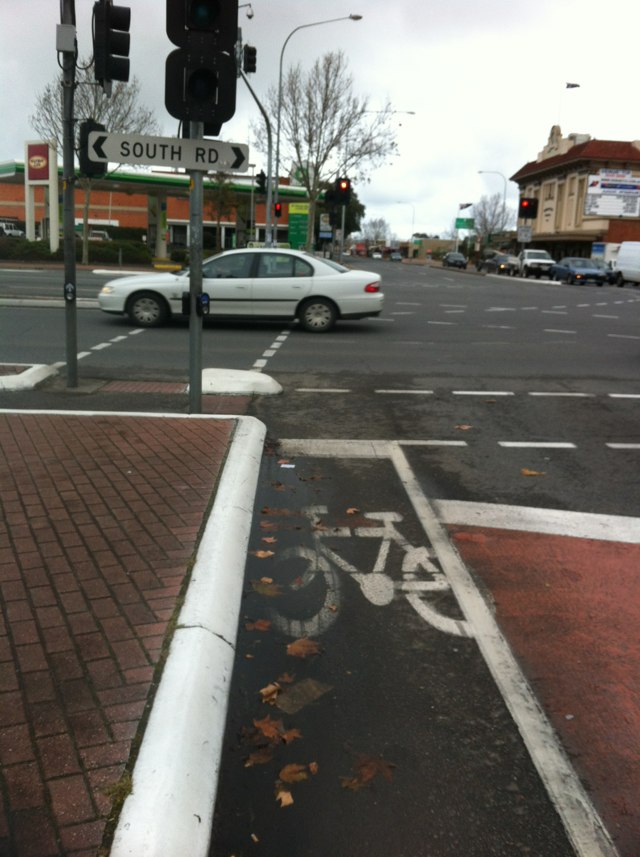
Notes: No bike lane for major thoroughfare into Docklands.
Address: Montague
Map: http://maps.google.com/maps?q=-37.831810,144.951187
Coordinates: -37.831810,144.951187
Photo:

Notes: Cyclists riding either way on Beulah rd have a tough time on this intersection. There is a traffic island at the mid point of crossing portrush road. This encourages you to look at traffic approaching from the right. When clear you ride to the traffic island. Unfortunately traffic approaching from the left can turn onto Beulah rd across the cyclist. There should be a giveaway to cyclists sign for cars turning right onto Beulah road to alleviate the risk. Thanks
Address: Beulah Rd
Map: http://maps.google.com/maps?q=-34.917848,138.640700
Coordinates: -34.917848,138.640700
Photo:

Notes: Good shoulder lost due to traffic island.
Address: 403 Russell St
Map: http://maps.google.com/maps?q=-37.568384,143.832196
Coordinates: -37.568384,143.832196
Photo:
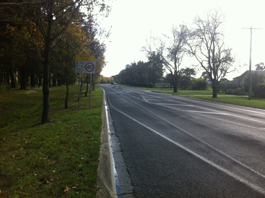
Notes: Serious accidents are common here.
Address: Windmill Dr
Map: http://maps.google.com/maps?q=-37.551308,143.823104
Coordinates: -37.551308,143.823104
Photo:
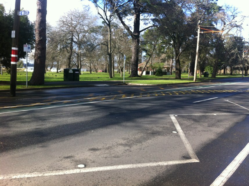
Notes: One of most commonly used sections of bike lane in Ballarat full of potholes and obstructions.
Address: Ripon St N
Map: http://maps.google.com/maps?q=-37.556677,143.842223
Coordinates: -37.556677,143.842223
Photo:
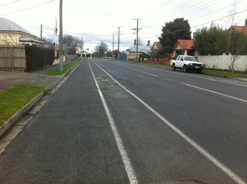
Notes: When riding anytime of the day these light reflector posts do not reflect light from bikes at all and are a dull colour so during day they are hard to see and during the night they are also not obvious and I have twice already almost ridden my bike straight into them. Very dangerous!!!
Address: 164 Nicholson St
Map: http://maps.google.com/maps?q=-37.803522,144.997209
Coordinates: -37.803522,144.997209
Photo:
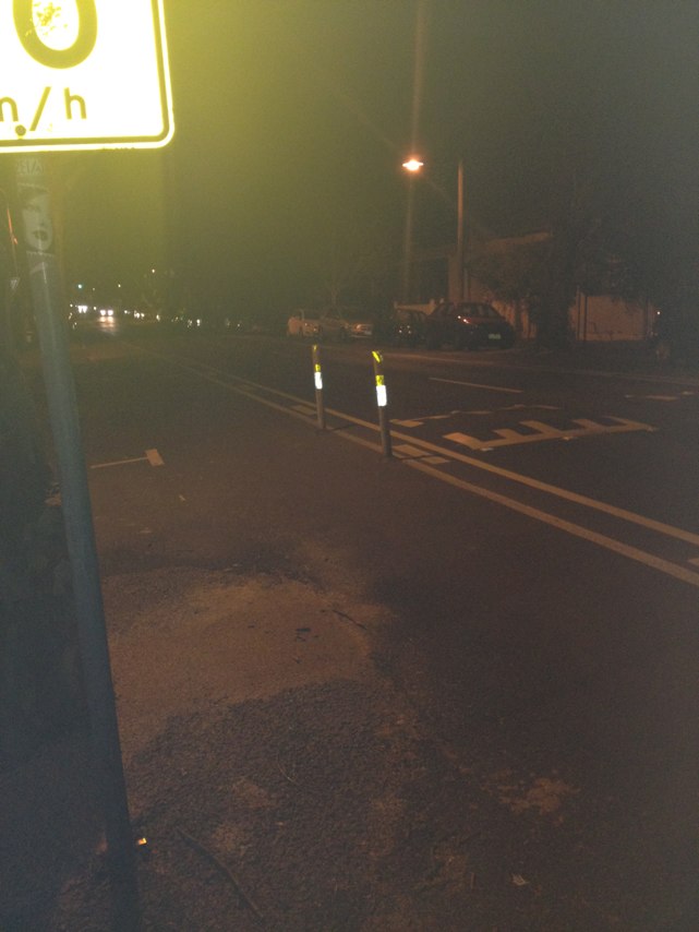
Notes: Sir Donald Bradman Drive oddly begins its life without a bike lane after Tapleys Hill Road. I defer to the side road until the bike lane finally makes its belatedly appearance as a parking strip after 150m.
Address: 608 Tapleys Hill Rd
Map: http://maps.google.com/maps?q=-34.934645,138.516928
Coordinates: -34.934645,138.516928
Photo:
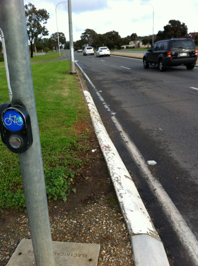
Notes: The airport perimeter bicycle track is a good idea but access from and egress to Sir Donald Bradman Drive is poor. Cyclists must enter onto the footpath at The Ikea access road (100m) in order to enter the bike track without having to dismount.
Address: 5 Frank Collopy Ct
Map: http://maps.google.com/maps?q=-34.933236,138.534695
Coordinates: -34.933236,138.534695
Photo:
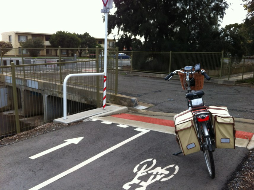
Notes: The hitherto excellent bike lane running West-East along Sir Donald Bradman Drive inexplicably disappears before the busy SDBD and Marion Road intersections. It resumes about 70m into SDBD after the intersection leaving a sizeable chunk of unprotected road for cyclists to navigate.
Address: Sir Donald Bradman Dr
Map: http://maps.google.com/maps?q=-34.932152,138.550324
Coordinates: -34.932152,138.550324
Photo:
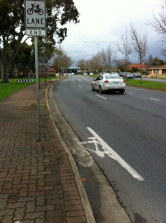
Notes: Link lost due to kerb side garden.
Address: Avenue Of Honour
Map: http://maps.google.com/maps?q=-37.552586,143.812802
Coordinates: -37.552586,143.812802
Photo:
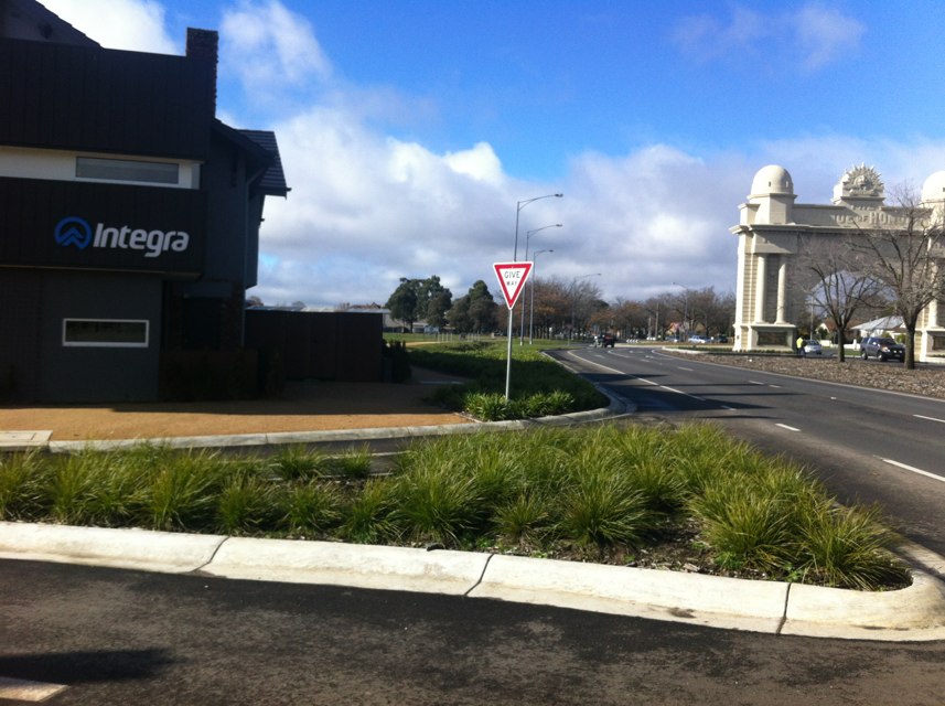
Notes: The West-East section of Henley Beach road as it meets South Road seems to promise a continuing bike lane, but never delivers until the underpass some 250m away. Another lengthy and disconnected section of HBR without bike lane protection.
Address: 87 Henley Beach Rd
Map: http://maps.google.com/maps?q=-34.923546,138.570012
Coordinates: -34.923546,138.570012
Photo:
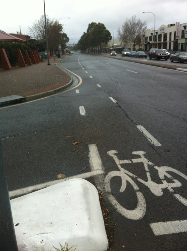
Notes: Bike lane disappears and bike route is straight ahead from far right lane.
Address: 202 Dowling St
Map: http://maps.google.com/maps?q=-37.540878,143.840303
Coordinates: -37.540878,143.840303
Photo:
Notes: Once good bike route made dangerous by loss of shoulder and traffic lane with addition of roundabout.
Address: Burnbank St
Map: http://maps.google.com/maps?q=-37.546010,143.845651
Coordinates: -37.546010,143.845651
Photo:
Notes: Good bike lane ends in dangerous two lane roundabout at vital bike link.
Address: 2 Webster St
Map: http://maps.google.com/maps?q=-37.557094,143.854818
Coordinates: -37.557094,143.854818
Photo:
Notes: Uncovered drain at edge of road. Missing grate.
Address: 282 Exhibition street (lt lonsdale st side of building)
Map: http://maps.google.com/maps?q=-37.815205,144.963943
Coordinates: -37.815205,144.963943
Photo:
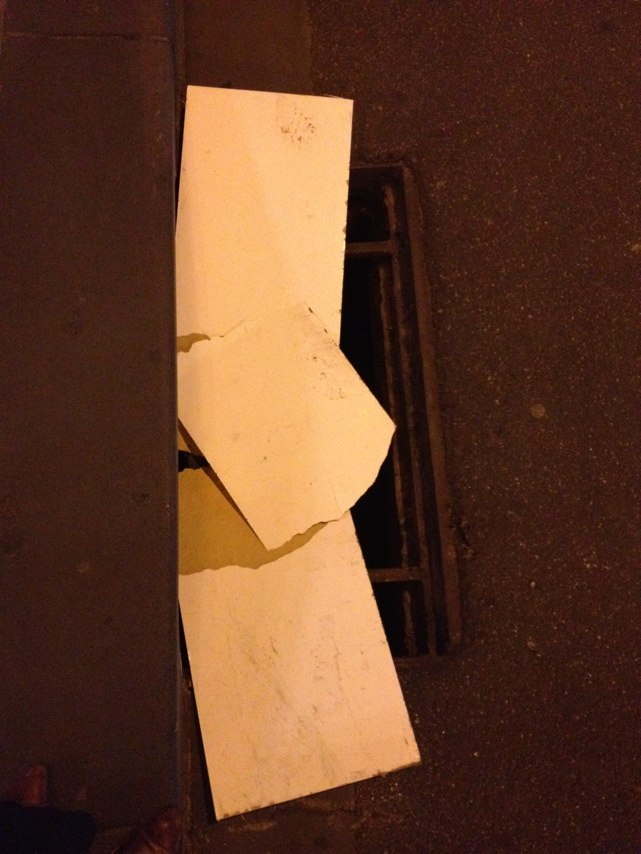
Notes: Road surface badly damaged by poor quality repair or maintenance work.
Address: 284 Bridge Rd
Map: http://maps.google.com/maps?q=-37.818870,145.000584
Coordinates: -37.818870,145.000584
Photo:

Notes: Exceptionally dangerous intersection poor road surface poor lighting major intersection for heavy vehicles entering port and both sides of willcock drive are designated bike paths!!
Address: 403 Marine Terrace
Map: http://maps.google.com/maps?q=-28.778775,114.594762
Coordinates: -28.778775,114.594762
Photo:

Notes: Exceptionally dangerous intersection poor road surface poor lighting major intersection for heavy vehicles entering port and both sides of willcock drive are designated bike paths!!
Address: 389 Marine Terrace
Map: http://maps.google.com/maps?q=-28.778436,114.597316
Coordinates: -28.778436,114.597316
Photo:

Notes: dangerous strech of road no lighting at all and has a designated bike path running along it
Address: 481 Marine Terrace
Map: http://maps.google.com/maps?q=-28.783646,114.581094
Coordinates: -28.783646,114.581094
Photo:

Notes: Cycling on a narrow verge in an 80kph speed zone, frequented by buses and semi-trailers. This coupled with the aggressive nature of road users in the area, makes cycling potentially quite dangerous.
Address: 1351 Main North Rd
Map: http://maps.google.com/maps?q=-34.801570,138.636499
Coordinates: -34.801570,138.636499
Photo:

Notes: This stretch of Henley Beach road is very dangerous for cyclists. It is only a dedicated bike lane during peak times and I have at least two near collisions with motorists a week and just feel unsafe riding on this road along with many other roads around Adelaide. Give cyclists priority bone lanes and more people will use them!
Address: 196 Henley Beach Rd
Map: http://maps.google.com/maps?q=-34.924170,138.559356
Coordinates: -34.924170,138.559356
Photo:
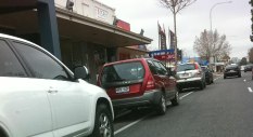
Notes: (null)
Address: 324-328 William St
Map: http://maps.google.com/maps?q=-37.811377,144.956532
Coordinates: -37.811377,144.956532
Photo:

Notes: Taxi drivers frequently opening doors and people crossing without looking. Have nearly been car-doored over ten times.
Address: 25 Collins St
Map: http://maps.google.com/maps?q=-37.813899,144.972572
Coordinates: -37.813899,144.972572
Photo:

Notes: To encourage use of bikes cyclists using paths should not have to give way to vehicles on minor crossings such as this There are examples like this all over Adelaide The law needs to be changed
Address: 12 Culvert
Map: http://maps.google.com/maps?q=-34.946827,138.609192
Coordinates: -34.946827,138.609192
Photo:
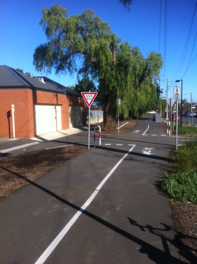
Notes: A whole series of potholes in the shared cycle/pedestrian path - very often filled with puddles. Fewer and fewer ways to navigate to avoid the potholes. Paved path here would be an improvement.
Address: 140 River Esplanade
Map: http://maps.google.com/maps?q=-37.822837,144.940732
Coordinates: -37.822837,144.940732
Photo:
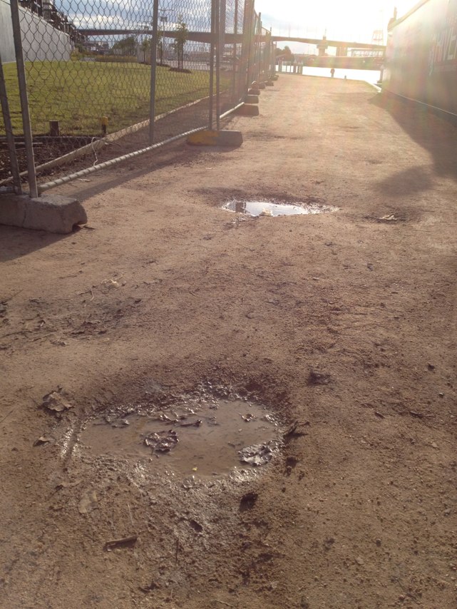
Notes: Great shared path. Shame the way it terminates without route marking at the east end! How to get to westfields?
Address: Wentworth Ave
Map: http://maps.google.com/maps?q=-33.937954,151.211582
Coordinates: -33.937954,151.211582
Photo:

Notes: This is a 2 section crossing One set of lights to the middle and the other from the middle of the road When approaching the crossing going south the first lights you see are the ones from the middle and if they are green and the other is red it is easy to make a mistake
Address: Marion Road
Map: http://maps.google.com/maps?q=-34.963661,138.554718
Coordinates: -34.963661,138.554718
Photo:
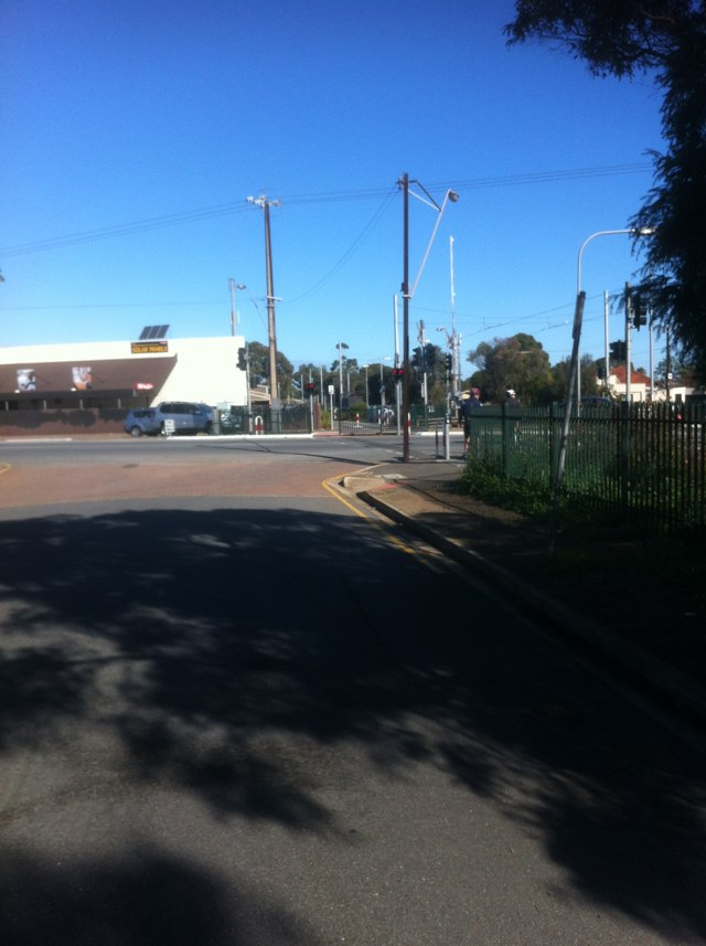
Notes: Motorists driving in the bike lane are real hazard. They merge into the bike lane so they can turn left. That leaves you with the choice of riding into the back of their car or swerving through the traffic. The white line of invulnerability must of lost its mojo.
Address: Wellington St
Map: http://maps.google.com/maps?q=-37.791904,144.988525
Coordinates: -37.791904,144.988525
Photo:

Notes: Fantastic work
Address: Forsyth rd, Old Geelong rd
Map: http://maps.google.com/maps?q=-37.875519,144.716965
Coordinates: -37.875519,144.716965
Photo:
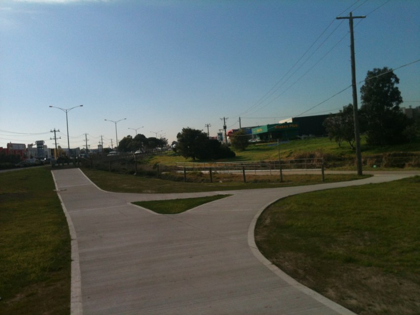
Notes: (null)
Address: 22 Northcote St
Map: http://maps.google.com/maps?q=-34.921156,138.567102
Coordinates: -34.921156,138.567102
Photo:

Notes: (null)
Address: 25 Hanson Rd
Map: http://maps.google.com/maps?q=-34.871987,138.547831
Coordinates: -34.871987,138.547831
Photo:
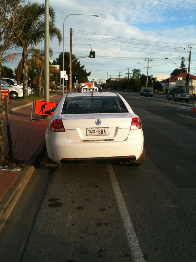
Notes: Shared path and route indicator obscured by foliage. No on path marking (fully degraded on brick)
Address: 333 Belmont St
Map: http://maps.google.com/maps?q=-33.905946,151.189663
Coordinates: -33.905946,151.189663
Photo:

Notes: Dynon rd and Hopkins. 70km/h zone, no bike path on rd, footpath in shocking repair and full of obstacles! Unsafe and very few alternatives
Address: Hopkins St
Map: http://maps.google.com/maps?q=-37.800519,144.906713
Coordinates: -37.800519,144.906713
Photo:
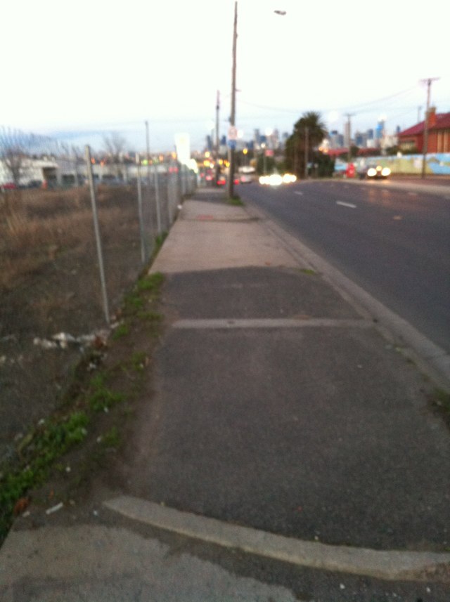
Notes: On Point Cook rd, Skeleton Ck bridge crossing
Address: Machinery Dr
Map: http://maps.google.com/maps?q=-37.875871,144.737144
Coordinates: -37.875871,144.737144
Photo:
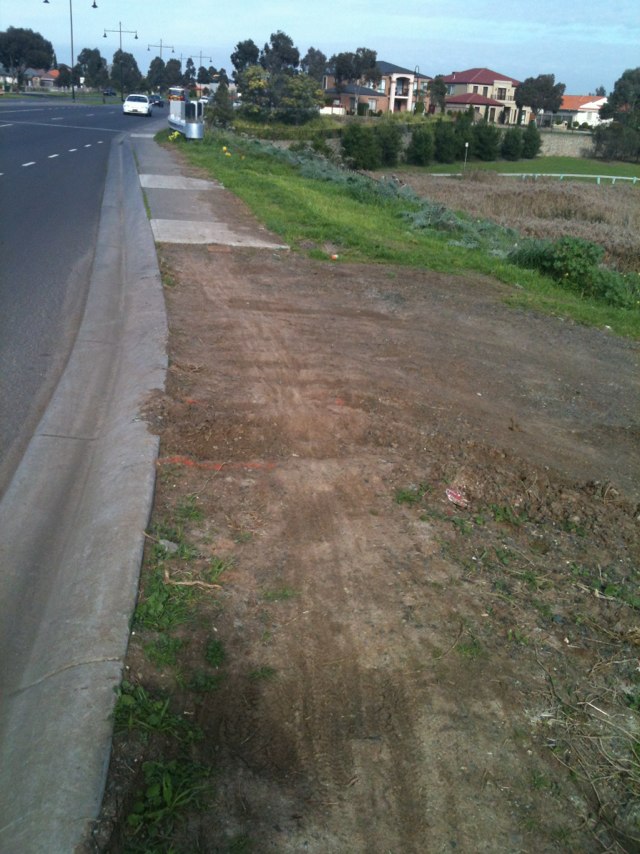
Notes: A recognised hazard to the many cyclists who regularly enjoy the circuit of Lake Wendouree. Clearly marked as a hazard to the designated cycle lane, but is still there. Speed limit is 40 kph through the Botanical Gardens, so rubber ramps over the tram lines might be suitable and stop cycle tyres from slipping on the rails.
Address: 313 Wendouree Parade
Map: http://maps.google.com/maps?q=-37.553143,143.822364
Coordinates: -37.553143,143.822364
Photo:
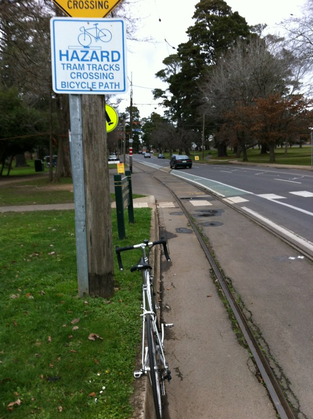
Notes: Dangerous pinch point at cnr mont Albert and Rochester rds Canterbury
Address: Mont Albert Rd
Map: http://maps.google.com/maps?q=-37.818493,145.081844
Coordinates: -37.818493,145.081844
Photo:
Notes: Death trap on a bike path just made for trapping a front wheel and causing an accident in day time let alone anyone riding the bike path at night especially in winter when it gets dark early
Address: 9 Rogers St
Map: http://maps.google.com/maps?q=-34.948197,138.593279
Coordinates: -34.948197,138.593279
Photo:
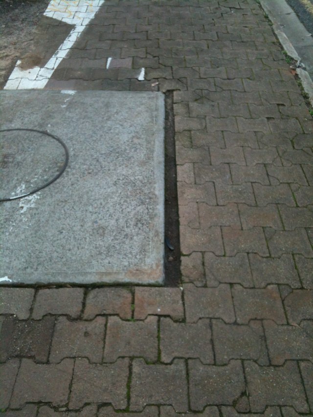
Notes: This leads onto the veloway, the bollard on the left would be likely to be hard to see at night. Ideally should the bollard be painted a light color and have some sort of reflector fitted? (Sent on behalf of Don Nairn)
Address: Southern Expy
Map: http://maps.google.com/maps?q=-35.061460,138.545818
Coordinates: -35.061460,138.545818
Photo:
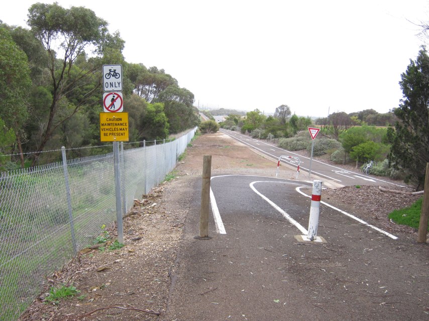
Notes: Cut through ramp block able
Address: 87 Buckland St
Map: http://maps.google.com/maps?q=-33.899551,151.196091
Coordinates: -33.899551,151.196091
Photo:

Notes: (null)
Address: 7 Mandible St
Map: http://maps.google.com/maps?q=-33.904313,151.200521
Coordinates: -33.904313,151.200521
Photo:

Notes: Bike lane surface not suitable for road bikes
Address: LOT 1 Majors Rd
Map: http://maps.google.com/maps?q=-35.054364,138.552631
Coordinates: -35.054364,138.552631
Photo:

Notes: This is a parking spot near a school directly in front of bike through way
Address: Rugby St
Map: http://maps.google.com/maps?q=-34.954799,138.609895
Coordinates: -34.954799,138.609895
Photo:
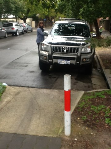
Notes: Bike marking tarmacked over
Address: 200 Belmont St
Map: http://maps.google.com/maps?q=-33.903297,151.192298
Coordinates: -33.903297,151.192298
Photo:

Notes: Finger point wrong direction
Address: 35 Alison Rd
Map: http://maps.google.com/maps?q=-33.904386,151.226245
Coordinates: -33.904386,151.226245
Photo:
Notes: Vehicles associated with the hockey grounds park in the bicycle lane forcing you to ride on busy Auburn Road
Address: Auburn Rd
Map: http://maps.google.com/maps?q=-37.840858,145.041582
Coordinates: -37.840858,145.041582
Photo:

Notes: The Gardiners Creek trail behind the Masters site is scary!! It is narrow (approx 2m) has a high fence at the edge of path one side and a steep drop off into the creek on the other side. At night time it is very difficult to make out the edge of the path.
Address: 351 Tooronga Rd
Map: http://maps.google.com/maps?q=-37.846507,145.041596
Coordinates: -37.846507,145.041596
Photo:

Notes: Route finger blocked by foliage and after decision point
Address: Bowden St
Map: http://maps.google.com/maps?q=-33.905951,151.197470
Coordinates: -33.905951,151.197470
Photo:
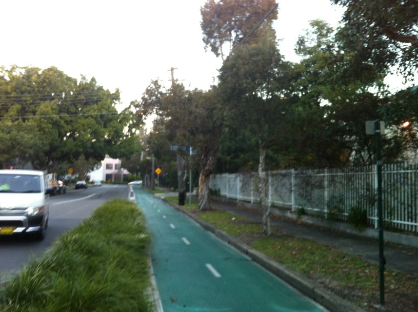
Notes: Signs moved to face wrong directions, not at decision point. No advance warnings. No confirmations. Nodal destinations not marked as such on subsequent route signs.
Address: 532 Gardeners Rd
Map: http://maps.google.com/maps?q=-33.919982,151.187290
Coordinates: -33.919982,151.187290
Photo:

Notes: Flagstaff Hill Road. Bike lane has overgrown plants, pot holes and general litter. Then lane stops into merging traffic, with a pot hole at the very point of merging.
Address: 22 Flagstaff Rd
Map: http://maps.google.com/maps?q=-35.037846,138.563436
Coordinates: -35.037846,138.563436
Photo:

Notes: Route signage broken, one way only (no return route marked) only at decision point (no advance warning or confidence)
Address: 148 Cottenham Ave
Map: http://maps.google.com/maps?q=-33.923026,151.220039
Coordinates: -33.923026,151.220039
Photo:

Notes: Shared path infrastructure ends without useful junction. Routed as Canterbury Sydenham (possibly, previous routing issue noted). No routing information at terminus of shared path.
Address: 562 Gardeners Rd
Map: http://maps.google.com/maps?q=-33.919773,151.185182
Coordinates: -33.919773,151.185182
Photo:

Notes: Dangerous slip lane on Footscray Rd
Address: Docklands Hwy
Map: http://maps.google.com/maps?q=-37.809079,144.928626
Coordinates: -37.809079,144.928626
Photo:
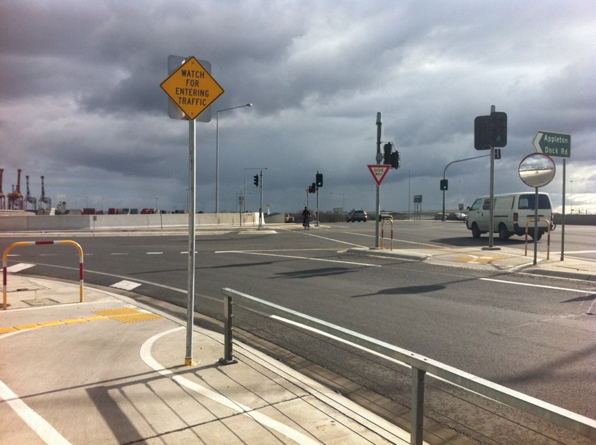
Notes: Sydney is the exact other direction, and the rest of the route goes down Francis. This is confusing as hell trying to navigate off signage and the incoherence here wastes both time and societies money
Address: Bestic St
Map: http://maps.google.com/maps?q=-33.950558,151.154107
Coordinates: -33.950558,151.154107
Photo:
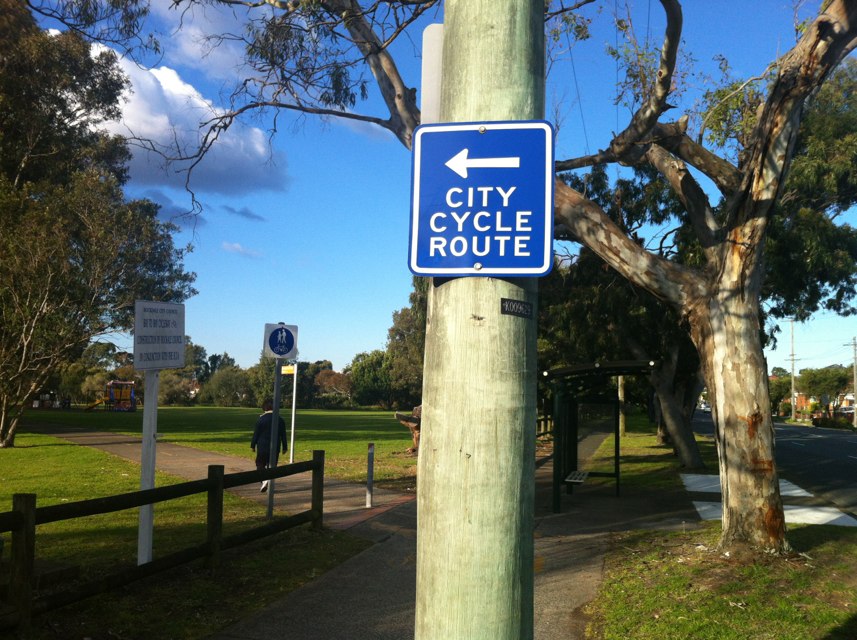
Notes: Shared path along river being engulfed by grass narrowing path significantly endangering pedestrians and cyclists. Just needs simple maintenance work by council.
Address: 94 Charles St
Map: http://maps.google.com/maps?q=-37.782400,144.901900
Coordinates: -37.782400,144.901900
Photo:

Notes: Route signage, infrastructure, routing all great at this decision point
Address: Airport Dr
Map: http://maps.google.com/maps?q=-33.930428,151.164162
Coordinates: -33.930428,151.164162
Photo:

Notes: Sans Souci and Botany Bay being both left and right is down right confusing
Address: 3 Alexander Ave
Map: http://maps.google.com/maps?q=-34.017494,151.124627
Coordinates: -34.017494,151.124627
Photo:

Notes: Signage of routes is generally great south of captain cook bridge
Address: Mangrove Ln
Map: http://maps.google.com/maps?q=-34.022916,151.129880
Coordinates: -34.022916,151.129880
Photo:

Notes: Saplings narrow path on blind corner on shared use path at rear
Address: 39 Mangrove Ln
Map: http://maps.google.com/maps?q=-34.025483,151.131421
Coordinates: -34.025483,151.131421
Photo:
Notes: No route confidence marking at francis ave
Address: 247 Bay St
Map: http://maps.google.com/maps?q=-33.959139,151.152035
Coordinates: -33.959139,151.152035
Photo:
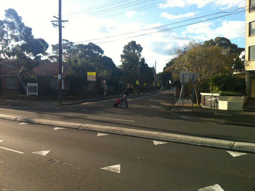
Notes: City cycle route unintelligible here
Address: 112 Francis Ave
Map: http://maps.google.com/maps?q=-33.950772,151.153580
Coordinates: -33.950772,151.153580
Photo:

Notes: Bicycle lanterns would greatly improve the marked cycle route here
Address: Chuter Ave
Map: http://maps.google.com/maps?q=-33.991746,151.142515
Coordinates: -33.991746,151.142515
Photo:

Notes: This sign is incoherent re proceed over bay by light crossing
Address: 249 Bay St
Map: http://maps.google.com/maps?q=-33.959359,151.152188
Coordinates: -33.959359,151.152188
Photo:
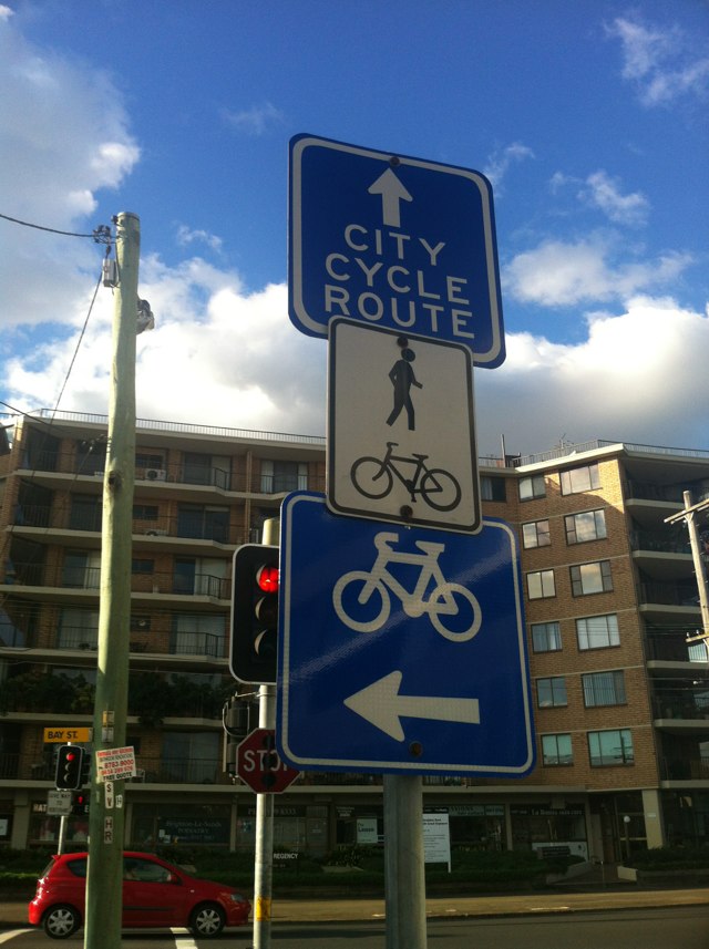
Notes: City and mascot via marsh at bridge? Via magic? Via the marked northbound shared path?
Address: 19 Marsh St
Map: http://maps.google.com/maps?q=-33.934168,151.158277
Coordinates: -33.934168,151.158277
Photo:
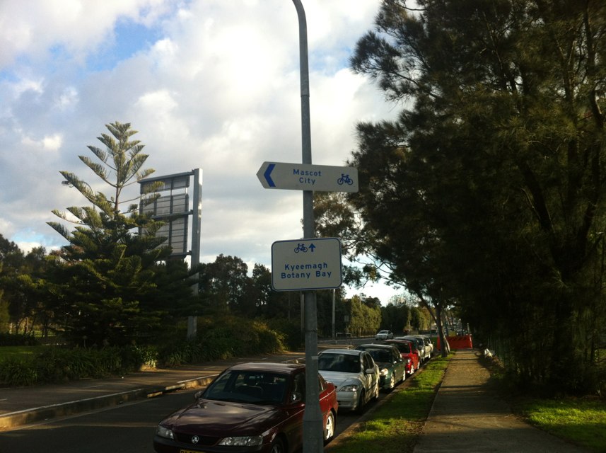
Notes: Came off bike because of this
Address: Appleton Dock Rd
Map: http://maps.google.com/maps?q=-37.809123,144.928736
Coordinates: -37.809123,144.928736
Photo:

Notes: Overgrown trees
Address: 90 Bridge Rd
Map: http://maps.google.com/maps?q=-21.162848,149.185376
Coordinates: -21.162848,149.185376
Photo:

Notes: Bicycle lanterns would simplify routing and improve the coherence of the route
Address: 1 Crawford Rd
Map: http://maps.google.com/maps?q=-33.959374,151.152302
Coordinates: -33.959374,151.152302
Photo:

Notes: (null)
Address: 159 Heidelberg Rd
Map: http://maps.google.com/maps?q=-37.783789,145.006985
Coordinates: -37.783789,145.006985
Photo:
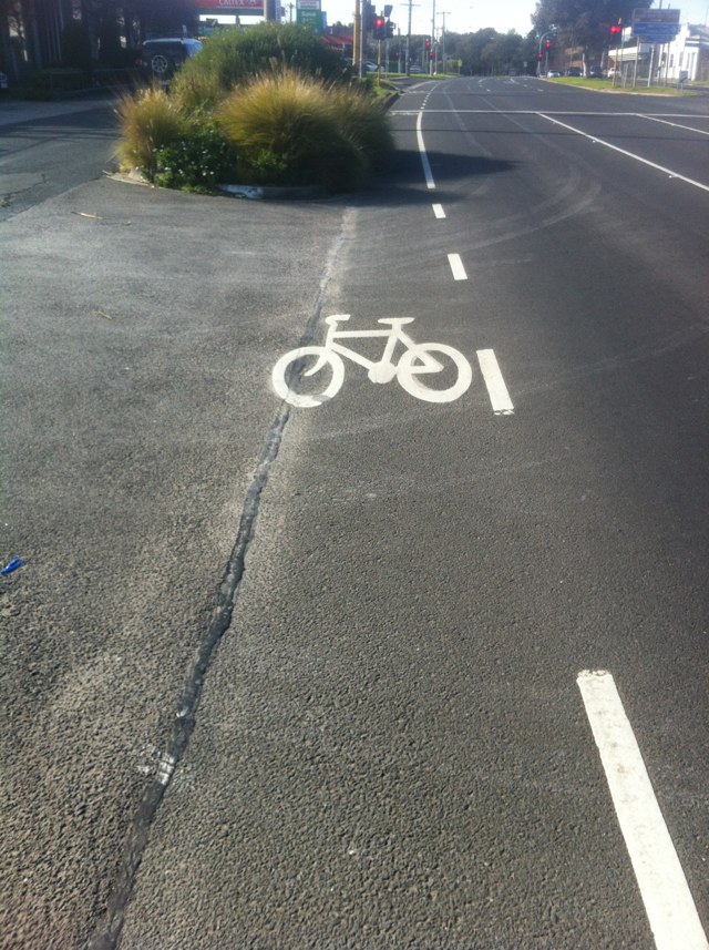
Notes: You can see the tree/bush growing out over the bike lane at a t-junction. Often cars turning left will block cats behind them. The blocked cars move left of lane in the hope they can get around, they never can. This combo makes it extra dangerous.
Address: 81 Avenue Rd
Map: http://maps.google.com/maps?q=-34.971518,138.582005
Coordinates: -34.971518,138.582005
Photo:
Notes: Route indicator lacks advance notice and is poorly positioned from primary road position
Address: 124 Jersey Rd
Map: http://maps.google.com/maps?q=-33.887364,151.235528
Coordinates: -33.887364,151.235528
Photo:
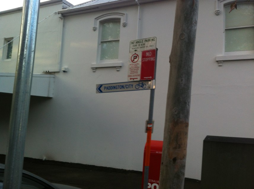
Notes: Pot hole/shifted road. This section of road is very tight and there is road damage directly in the bicycle area means road bikes must move into traffic to avoid.
Address: 186 Alexandra Parade
Map: http://maps.google.com/maps?q=-26.670493,153.107799
Coordinates: -26.670493,153.107799
Photo:

Notes: Bike lane URGENTLY needed along Lorimer St, Port Melbourne. The footpath on the south side of the road is apparently a shared pedestrian/cycle path, however this is unviable during times when there are many pedestrians (no space to pass). Additionally there are many driveways, some hidden, which pose a danger to cyclists. There is no cycle lane on the road on either side and is very much needed all the way along Lorimer St east of Todd Rd all the way towards the city. The entry of Ingles St is particularly dangerous - especially during nighttime. (This morning a car nearly collided with me coming out of this side street - I can presume only because they failed to look/see me, despite my hi-vis vest and strong lights.) A bike path along the disused rail tracks on the north side of the street would be a huge improvement. (This area can be seen on the left hand side of my photo.) A path here could safely accommodate cyclists travelling in both directions and reduce the risk posed by the many driveways on the south side of the road. There are few alternate routes for people commuting by bike to this part of town and a bike path as suggested above would greatly improve safety, as well as make the commute more enjoyable, thus encouraging more people to cycle.
Address: Lorimer St
Map: http://maps.google.com/maps?q=-37.822226,144.932821
Coordinates: -37.822226,144.932821
Photo:
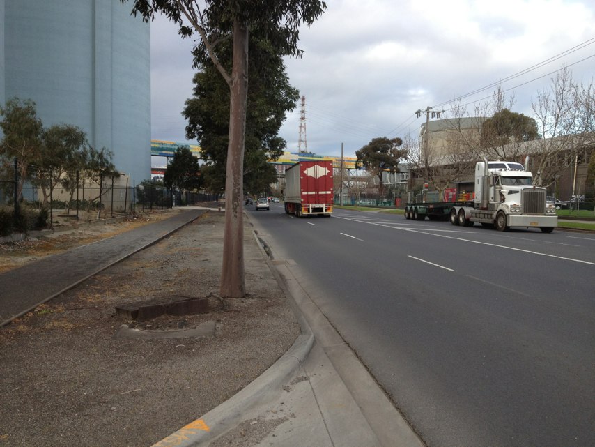
Notes: The new deviation on the freeway bike path considerably lengthens the ride. Appears to be quite a lack of planning on how the freeway widening will affect cyclists and consulting with them
Address: Kwinana Fwy
Map: http://maps.google.com/maps?q=-32.063676,115.850531
Coordinates: -32.063676,115.850531
Photo:

Notes: No route marking at complex decision point on marked route
Address: 1 Broughton St
Map: http://maps.google.com/maps?q=-33.882885,151.228960
Coordinates: -33.882885,151.228960
Photo:
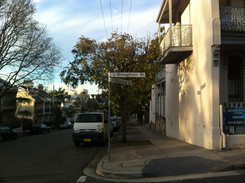
Notes: Route sign damaged: bent torn
Address: Cook Rd
Map: http://maps.google.com/maps?q=-33.890419,151.231614
Coordinates: -33.890419,151.231614
Photo:

Notes: Multiple grates in path orientated incorrectly - major risk of wheel entrapment - need rotation by 90 degrees
Address: 1 Kings Way
Map: http://maps.google.com/maps?q=-37.823043,144.957283
Coordinates: -37.823043,144.957283
Photo:

Notes: No pedestrian crossing on this side of over pass
Address: Forsyth Rd
Map: http://maps.google.com/maps?q=-37.874976,144.737289
Coordinates: -37.874976,144.737289
Photo:
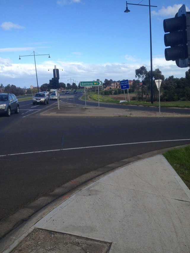
Notes: Traveling west along Balcombe the bike lane disappears at The intersection of Reserve road forcing cyclists into the gutter as traffic bottlenecks at this location
Address: 23 Burdekin dr
Map: http://maps.google.com/maps?q=-38.011032,145.131958
Coordinates: -38.011032,145.131958
Photo:

Notes: Bike path over railway is always full of debris making it less than useless - large stones etc. - can we have it swept every now and then please
Address: Kororoit Creek Rd
Map: http://maps.google.com/maps?q=-37.849341,144.828880
Coordinates: -37.849341,144.828880
Photo:

Notes: Riding west, into the city:
road narrows and cars bank up at traffic light with Lennox St, leaving no room for the bikes from the kerb. Some cyclists ride between the 2 rows of cars - dangerous. Others jump on footpath. Suggestion: I believe the road is just wide enough to paint a narrower than standard green bike lane, edged by reflective plastic bumps (similar to some sections in the CBD).
Address: 200 Swan st
Map: http://maps.google.com/maps?q=-37.825691,144.997116
Coordinates: -37.825691,144.997116
Photo:

Notes: (null)
Address: 144 Prospect Rd
Map: http://maps.google.com/maps?q=-34.884979,138.593812
Coordinates: -34.884979,138.593812
Photo:

Notes: Possibly related to neighboring commercial enterprise. Vehicle parked across shared path on Bourke entirely blocking route north/south to bourke street cycle way.
Address: 530 Gardeners Rd
Map: http://maps.google.com/maps?q=-33.919969,151.187649
Coordinates: -33.919969,151.187649
Photo:

Notes: Linear Park Cycleway frequently has mud on an otherwise fast section, right on a corner. High risk of a crash due to slippery surface. Caused by muddy embankment and river flooding with poor drainage and no maintainence.
Address: 10 Belgrave Ave
Map: http://maps.google.com/maps?q=-34.914964,138.540541
Coordinates: -34.914964,138.540541
Photo:
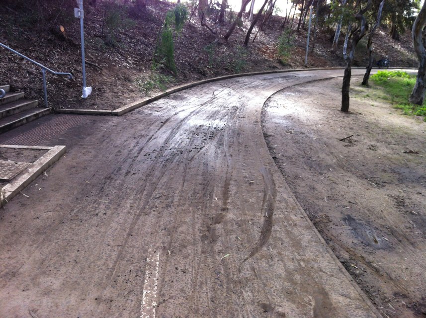
Notes: There is a missing section of the Bay Trail between Gould Street, Frankston and Station Street, Seaford, parallel to Nepean Highway, a distance of just 3 km. Frankston Council are totally incapable of making a decision on where this missing section should go - for example reclaiming parking spaces along Nepean Highway for space for a bidirectional bike path
Address: Gould st
Map: http://maps.google.com/maps?q=-38.140846,145.120483
Coordinates: -38.140846,145.120483
Photo:

Notes: Traveling west along Balcombe the bike lane disappears at The intersection of Reserve road forcing cyclists into the gutter as traffic bottlenecks at this location
Address: 453 Balcombe rd
Map: http://maps.google.com/maps?q=-37.978012,145.034668
Coordinates: -37.978012,145.034668
Photo:

Notes: Bike lanes are fantastic.
Address: 268 Morris rd
Map: http://maps.google.com/maps?q=-37.861214,144.704788
Coordinates: -37.861214,144.704788
Photo:

Notes: Queens Parade (city bound, several metres before Gold St), Clifton Hill Notes:
A hazardous 3 inch (approx) bump in the gutter (where cyclists have to
ride in the absence of a cycle lane) which has probably been pushed up by
tree roots.<
Address: 149 Queens pde
Map: http://maps.google.com/maps?q=-37.788975,144.991226
Coordinates: -37.788975,144.991226
Photo: 
Notes: Bike lane disappears over bridge with narrow traffic lane and no shoulder. Cyclists forced to take the lane in heavy traffic. Footpath needs to be shared path for cyclists.
Address: 43 Grant
Map: http://maps.google.com/maps?q=-37.567184,143.858795
Coordinates: -37.567184,143.858795
Photo:
Notes: Bridge is too narrow with no bike lanes, forcing cyclists to merge with vehiclesat 80km going uphill across a bridge. Debris, Pot holes and cracked concrete litters the guttering allong this stretch of road.
No other direct route from Fed Trail - Footscray avaliable
Address: 554 Princes hwy
Map: http://maps.google.com/maps?q=-37.825756,144.825333
Coordinates: -37.825756,144.825333
Photo: 
Notes:
As one follows into George Street from Queens Parade, the bike lane suddenly disappears completely forcing cyclists either up onto the footpath or to duel with traffic moving at high speed into what was bike space... this is quite a dangerous situation.
Address: 81 Queens pde
Map: http://maps.google.com/maps?q=-37.789936,144.988617
Coordinates: -37.789936,144.988617
Photo:

Notes: The cross-overs between the two Cheddar Roads crosses a bike shared path which is on the easement between the two roads.
These cross-overs and the bike path are unprotected intersections. Cars often fail to check for cyclists.
Solution. Re-route the bike path at the cross-overs so the path crosses
the cross-overs in the middle of the easement. Copy the same design treatment
as the cross-overs on St Georges Rd bikepath - Northcote.<
Address: 111 Cheddar rd
Map: http://maps.google.com/maps?q=-37.703613,145.016846
Coordinates: -37.703613,145.016846
Photo: 
Notes: Sign to Rosebery pointing in precisely the wrong direction.
Address: 1 George St
Map: http://maps.google.com/maps?q=-33.927269,151.206125
Coordinates: -33.927269,151.206125
Photo:

Notes: Dangerous crossing on marked trail. Concrete centre barrier blocks crossing and provides no refuge. Busy road also. Needs pedestrian lights.
Address: 37 Anderson St E
Map: http://maps.google.com/maps?q=-37.567523,143.859221
Coordinates: -37.567523,143.859221
Photo:
Notes: Canadian Creek bike trail passes on crown land between both sides of Mercure hotel. Motel has built roads along trail and trail marking has been worn off by cars driving over it.
Address: 631 Main Rd
Map: http://maps.google.com/maps?q=-37.580998,143.869078
Coordinates: -37.580998,143.869078
Photo:
Notes: Shared path / end shared path signs incoherent. Southbound path ends twice, northbound path starts twice
Address: 0 Lachlan street
Map: http://maps.google.com/maps?q=-33.900753,151.214050
Coordinates: -33.900753,151.214050
Photo:

Notes: (null)
Address: Prospect Rd
Map: http://maps.google.com/maps?q=-34.884975,138.593976
Coordinates: -34.884975,138.593976
Photo:

Notes: (null)
Address: 144 Prospect Rd
Map: http://maps.google.com/maps?q=-34.884968,138.593803
Coordinates: -34.884968,138.593803
Photo:
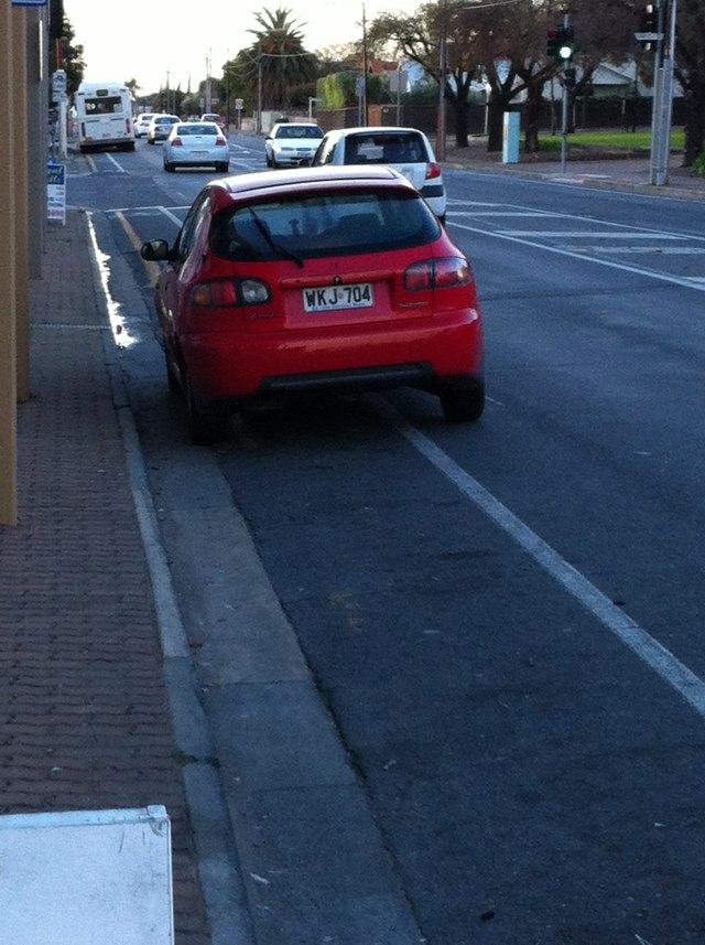
Notes: 1BPX 728 Idiot driver and passenger offered verbal abuse followed by a bottle being thrown at me
Address: Hodges Dr
Map: http://maps.google.com/maps?q=-31.759968,115.733594
Coordinates: -31.759968,115.733594
Photo:

Notes: There is a large pot hole that is dangerous for cyclists and motorists
Address: Rudford St
Map: http://maps.google.com/maps?q=-35.020217,138.528521
Coordinates: -35.020217,138.528521
Photo:

Notes: Get squeezed by cars when leaving Galway Ave and want to take hard left into bike access at top of Burlington
Address: 72 NE Rd
Map: http://maps.google.com/maps?q=-34.888094,138.614799
Coordinates: -34.888094,138.614799
Photo:
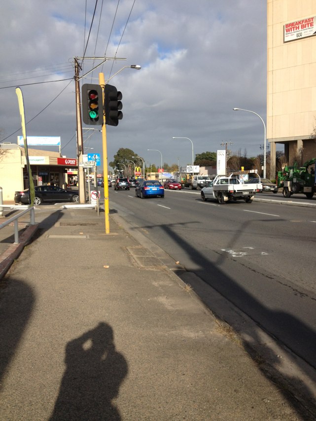
Notes: The tree here and further along overhang the path. The branch/leaves are at eye height. Not good
Address: 10 Pryor Loop
Map: http://maps.google.com/maps?q=-35.077658,138.535937
Coordinates: -35.077658,138.535937
Photo:
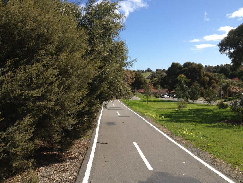
Notes: Platforms 2 and 3 have no easy bike (or wheelchair) access. You have to carry bike up and down the old rickety stairs. V/line staff will assist if asked but it seems stupid that they have to also risk injury hauling bikes up and down steps.
Address: Railway Terrace
Map: http://maps.google.com/maps?q=-38.144511,144.354828
Coordinates: -38.144511,144.354828
Photo:

Notes: This underpass is a shocker! With no escape route, a bike is in big trouble if cars approach from opposite directions whilst you are in the underpass. How often is the 40kph seed limit enforced?
Address: Rosetta St
Map: http://maps.google.com/maps?q=-34.891372,138.556772
Coordinates: -34.891372,138.556772
Photo:
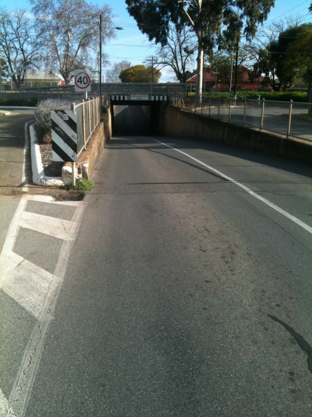
Notes: Bike Line markings significantly faded. Cars unable to determine appropriate distance to maintain from bikes, could lead to potential serious injury
Address: Victoria Rd
Map: http://maps.google.com/maps?q=-37.772363,145.011402
Coordinates: -37.772363,145.011402
Photo:

Notes: (null)
Address: 136 Prospect Rd
Map: http://maps.google.com/maps?q=-34.885761,138.593854
Coordinates: -34.885761,138.593854
Photo:
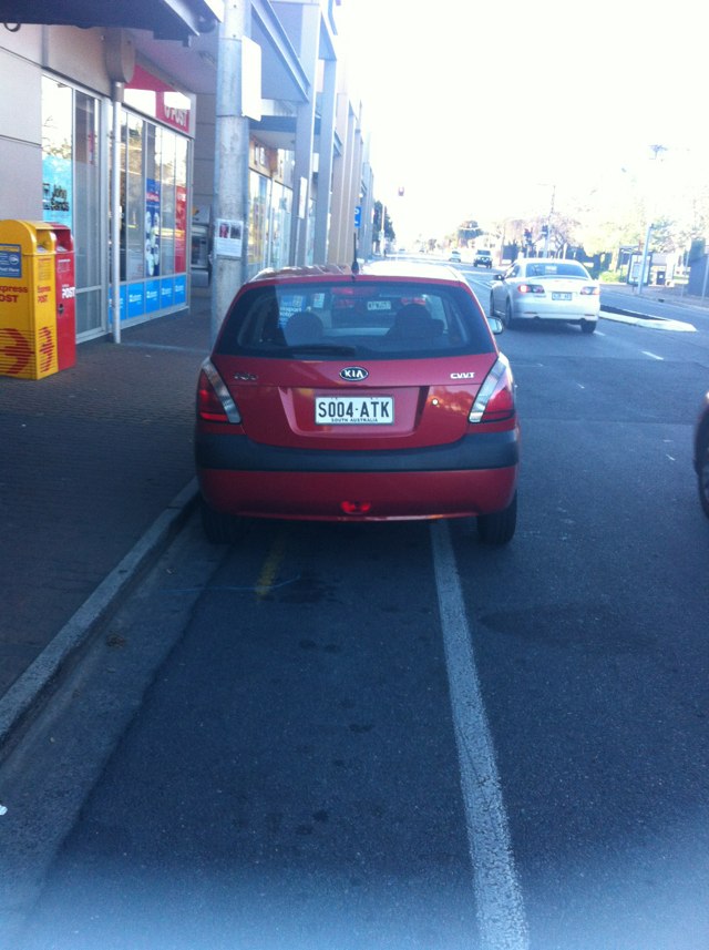
Notes: Using this bike path at night is dangerous as there is no street lighting at all. But riding on Sydney road is also dangerous due to high car traffic and the poor state of bike lanes (potholes etc) to be avoided so as not to get a flat tyre.
Address: Upfield bike path between princess park and dawson st
Map: http://maps.google.com/maps?q=-37.770771,144.954895
Coordinates: -37.770771,144.954895
Photo:

Notes: (null)
Address: Prospect Rd
Map: http://maps.google.com/maps?q=-34.886389,138.593885
Coordinates: -34.886389,138.593885
Photo:
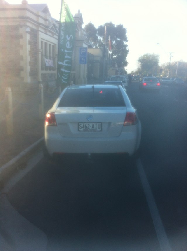
Notes: Getting across this intersection is dangerous due to non interconnecting bike paths
Address: Collier Rd
Map: http://maps.google.com/maps?q=-31.907204,115.942424
Coordinates: -31.907204,115.942424
Photo:
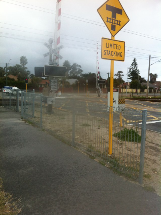
Notes: (null)
Address: Prospect Rd
Map: http://maps.google.com/maps?q=-34.886232,138.593999
Coordinates: -34.886232,138.593999
Photo:
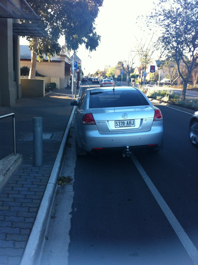
Notes: (null)
Address: Prospect Rd
Map: http://maps.google.com/maps?q=-34.886378,138.593920
Coordinates: -34.886378,138.593920
Photo:

Notes: (null)
Address: Prospect Rd
Map: http://maps.google.com/maps?q=-34.886386,138.593888
Coordinates: -34.886386,138.593888
Photo:
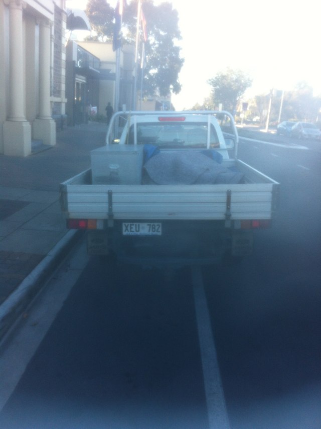
Notes: Roadworks and heavy congestion not safe for cycling on side of road and footpath missing. Now full of sand and debris from roadworks.
Address: Place Rd
Map: http://maps.google.com/maps?q=-28.759234,114.629940
Coordinates: -28.759234,114.629940
Photo:

Notes: (null)
Address: 144 Prospect Rd
Map: http://maps.google.com/maps?q=-34.884965,138.593891
Coordinates: -34.884965,138.593891
Photo:

Notes: This main road has sections with a bike lane but then sections with no footpath or bike lane. It also has limited lighting.
Address: West swan rd
Map: http://maps.google.com/maps?q=-31.878668,115.974571
Coordinates: -31.878668,115.974571
Photo:

Notes: (null)
Address: 10 Wilson St
Map: http://maps.google.com/maps?q=-33.896942,151.180288
Coordinates: -33.896942,151.180288
Photo:
Notes: (null)
Address: Wilson St
Map: http://maps.google.com/maps?q=-33.896788,151.180389
Coordinates: -33.896788,151.180389
Photo:
Notes: Very slippery when wet on bridge
Address: Bureood hwy
Map: http://maps.google.com/maps?q=-37.883583,145.295395
Coordinates: -37.883583,145.295395
Photo:
Notes: Good bike path well done
Address: 2 Mortimer St
Map: http://maps.google.com/maps?q=-37.898512,144.654450
Coordinates: -37.898512,144.654450
Photo:

Notes: Path has been fixed. Well done.
Address: Poinciana place
Map: http://maps.google.com/maps?q=-31.770857,115.803505
Coordinates: -31.770857,115.803505
Photo:

Notes: Bike lane disappears and cyclists are effectively forced to do a zipper merge with motor vehicles to squeeze past where the Windsor Hotel juts out into North East Road.
Address: 431 NE Rd
Map: http://maps.google.com/maps?q=-34.865118,138.645260
Coordinates: -34.865118,138.645260
Photo:
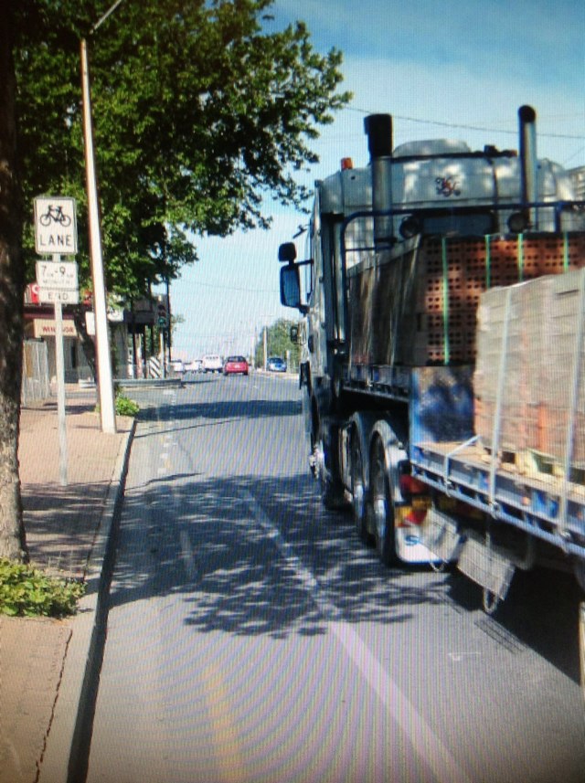
Notes: Gravelly and uneven shoulder. Dangerous for cyclists as in cycling zone
Address: 2 Dundas St
Map: http://maps.google.com/maps?q=-37.752328,145.001857
Coordinates: -37.752328,145.001857
Photo:
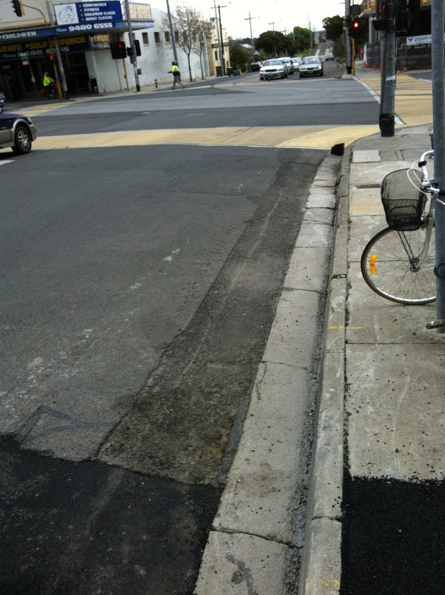
Notes: Cracked and uneven road in cycling zone. On northside of dundas st
Address: 4 Dundas St
Map: http://maps.google.com/maps?q=-37.752500,145.002260
Coordinates: -37.752500,145.002260
Photo:
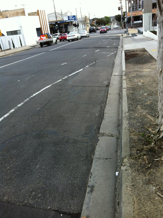
Notes: Danger as bike lanes disappear alongside Vic market. Heavy traffic especially on market days is dangerous.
Address: 65 State Route 32
Map: http://maps.google.com/maps?q=-37.807133,144.955848
Coordinates: -37.807133,144.955848
Photo:

Notes: Dangerous crossing on route to Uni
Address: 87 Maud St
Map: http://maps.google.com/maps?q=-32.895224,151.721020
Coordinates: -32.895224,151.721020
Photo:
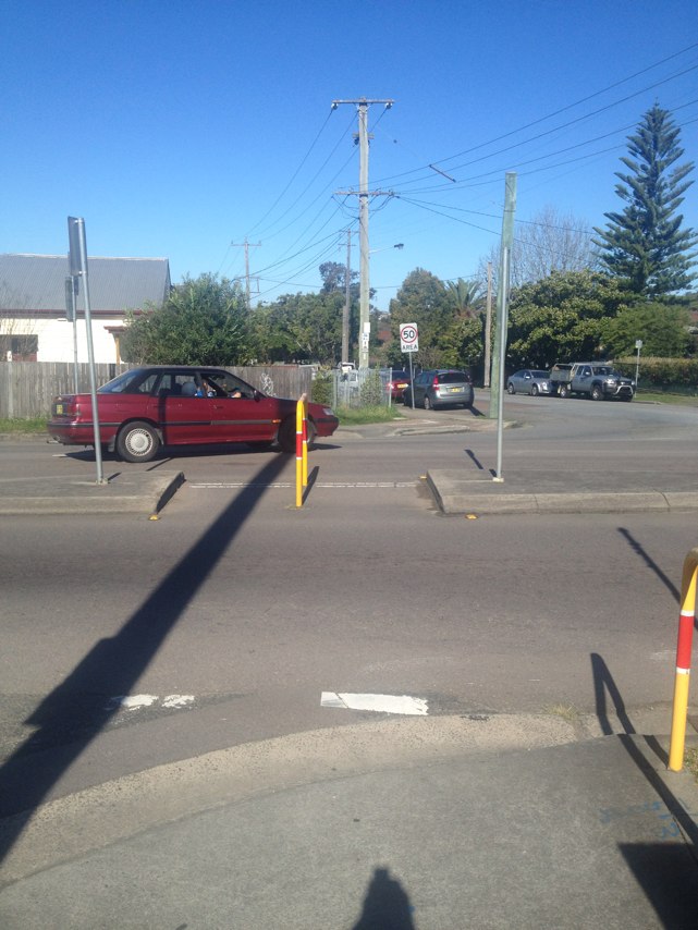
Notes: (null)
Address: 66 Scholey St
Map: http://maps.google.com/maps?q=-32.907967,151.739594
Coordinates: -32.907967,151.739594
Photo:
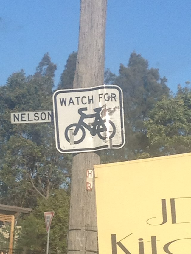
Notes: (null)
Address: 124 Chinchen St
Map: http://maps.google.com/maps?q=-32.908173,151.740584
Coordinates: -32.908173,151.740584
Photo:
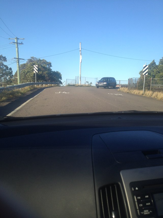
Notes: (null)
Address: 6 Fern St
Map: http://maps.google.com/maps?q=-32.917778,151.748509
Coordinates: -32.917778,151.748509
Photo:
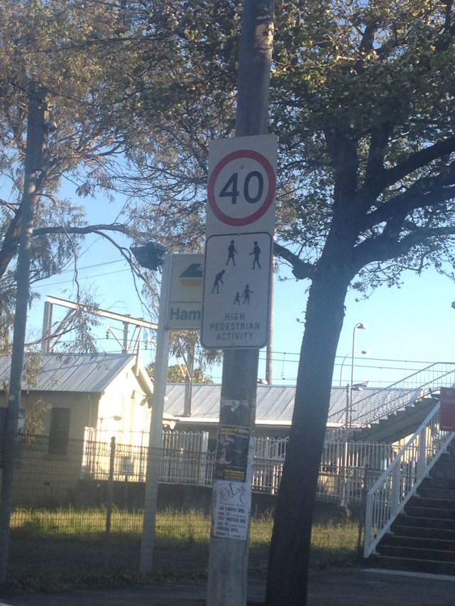
Notes: (null)
Address: 118 Parkway Ave
Map: http://maps.google.com/maps?q=-32.935099,151.761715
Coordinates: -32.935099,151.761715
Photo:
Notes: (null)
Address: Frederick St
Map: http://maps.google.com/maps?q=-32.941915,151.758008
Coordinates: -32.941915,151.758008
Photo:
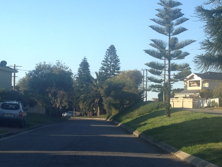
Notes: (null)
Address: Chatham St
Map: http://maps.google.com/maps?q=-32.929636,151.736412
Coordinates: -32.929636,151.736412
Photo:
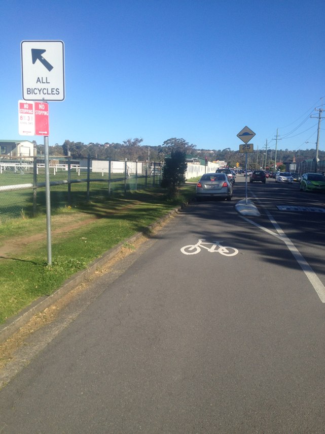
Notes: (null)
Address: Vine St
Map: http://maps.google.com/maps?q=-32.891003,151.740524
Coordinates: -32.891003,151.740524
Photo:
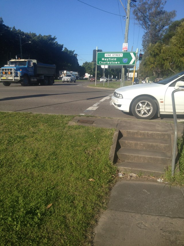
Notes: (null)
Address: 118 Woodstock St
Map: http://maps.google.com/maps?q=-32.887779,151.735411
Coordinates: -32.887779,151.735411
Photo:
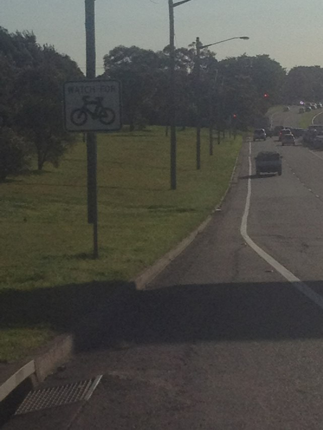
Notes: (null)
Address: Donald St
Map: http://maps.google.com/maps?q=-32.920010,151.750130
Coordinates: -32.920010,151.750130
Photo:
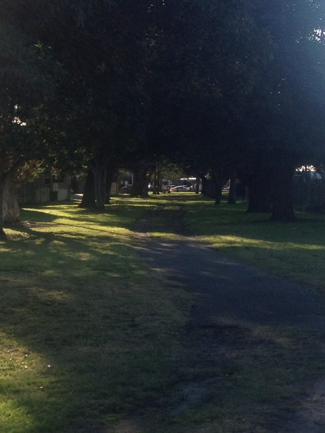
Notes: (null)
Address: Industrial Dr
Map: http://maps.google.com/maps?q=-32.894021,151.747606
Coordinates: -32.894021,151.747606
Photo:
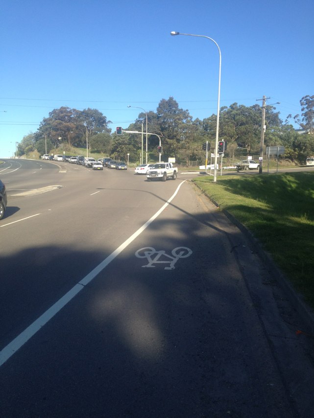
Notes: (null)
Address: Upfold St
Map: http://maps.google.com/maps?q=-32.902524,151.732354
Coordinates: -32.902524,151.732354
Photo:
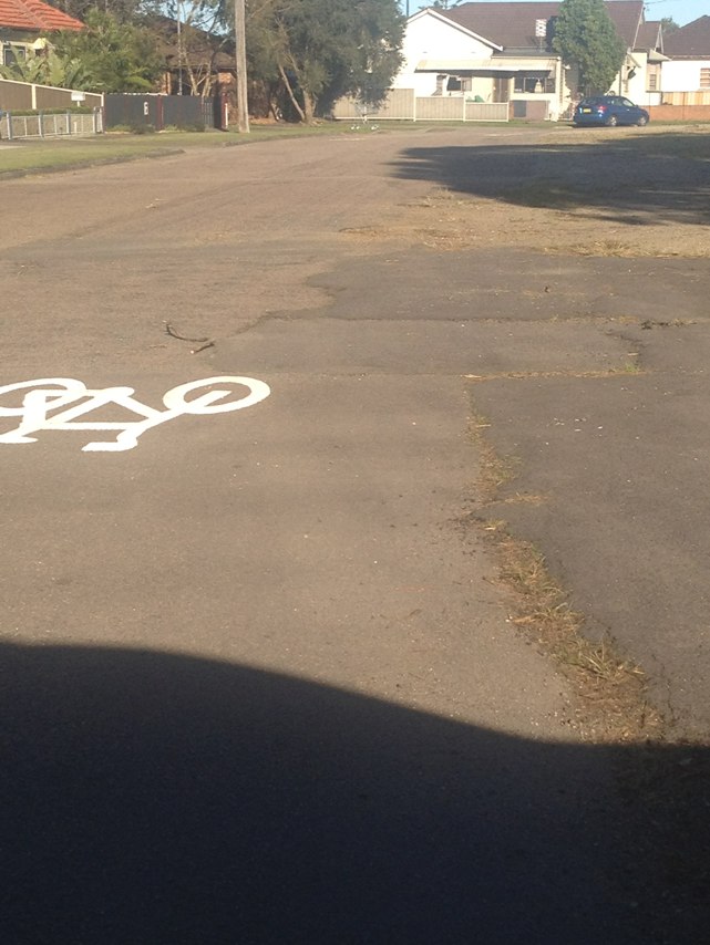
Notes: (null)
Address: Dumaresq St
Map: http://maps.google.com/maps?q=-32.928825,151.750283
Coordinates: -32.928825,151.750283
Photo:
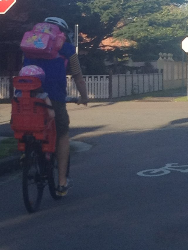
Notes: (null)
Address: 63 Dumaresq St
Map: http://maps.google.com/maps?q=-32.928843,151.750641
Coordinates: -32.928843,151.750641
Photo:
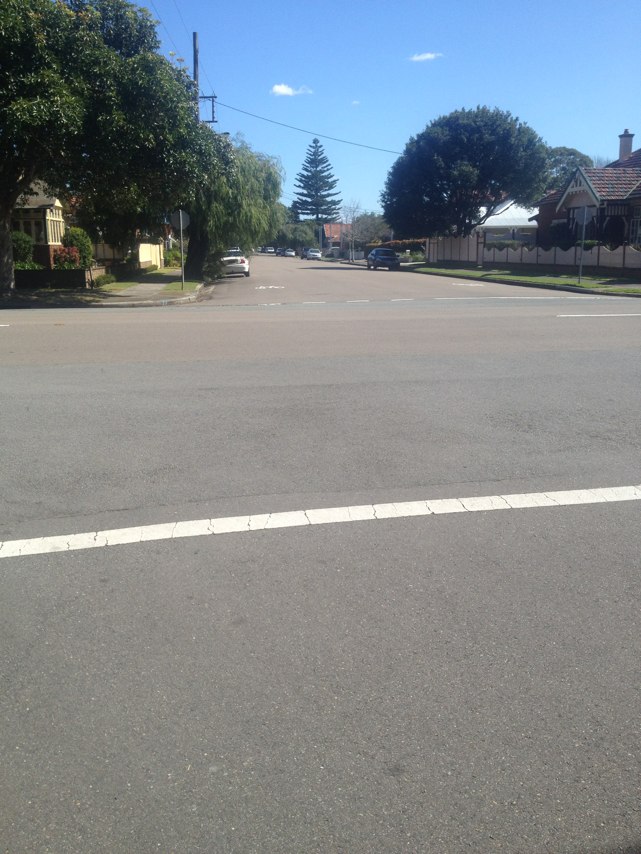
Notes: (null)
Address: Chinchen St
Map: http://maps.google.com/maps?q=-32.908895,151.740654
Coordinates: -32.908895,151.740654
Photo:
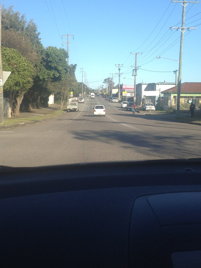
Notes: (null)
Address: 76 Parkway Ave
Map: http://maps.google.com/maps?q=-32.936472,151.763361
Coordinates: -32.936472,151.763361
Photo:
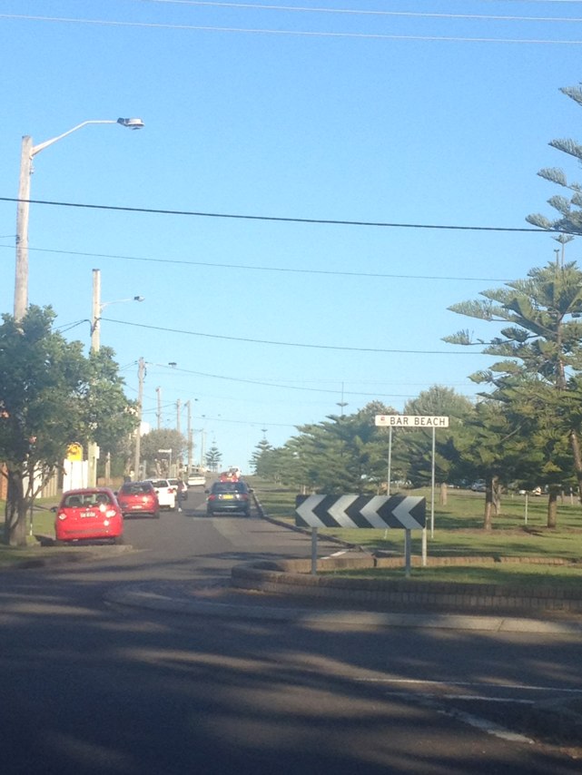
Notes: (null)
Address: 39 Fern St
Map: http://maps.google.com/maps?q=-32.917144,151.747923
Coordinates: -32.917144,151.747923
Photo:
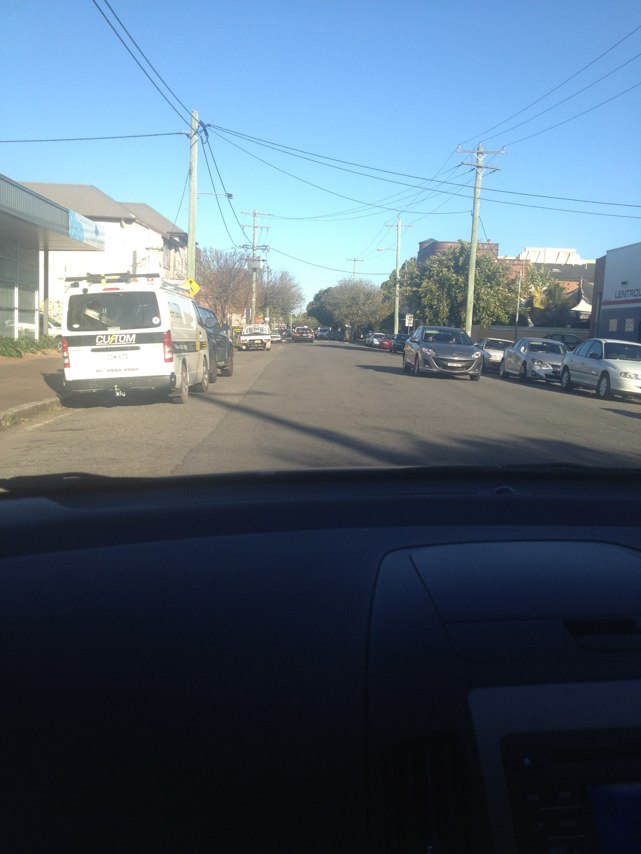
Notes: (null)
Address: Donald St
Map: http://maps.google.com/maps?q=-32.920153,151.750061
Coordinates: -32.920153,151.750061
Photo:
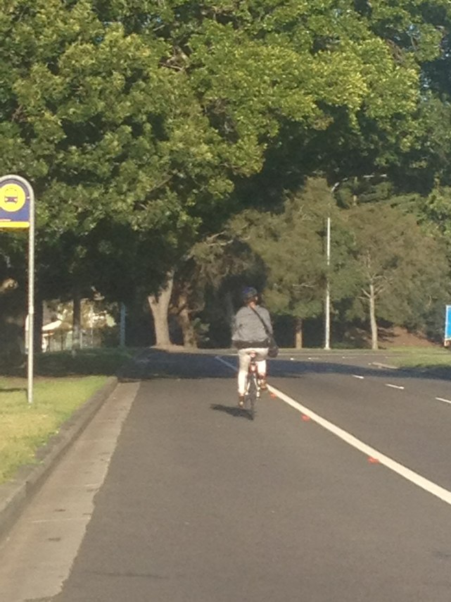
Notes: (null)
Address: LOT 1 Donald St
Map: http://maps.google.com/maps?q=-32.920331,151.750499
Coordinates: -32.920331,151.750499
Photo:
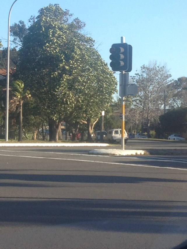
Notes: Idiot parked in no stoping zone at school for over 1.5 hours
Address: 50 Woolhouse St
Map: http://maps.google.com/maps?q=-37.763992,144.988092
Coordinates: -37.763992,144.988092
Photo:
Notes: (null)
Address: Machinery Dr
Map: http://maps.google.com/maps?q=-37.875931,144.737162
Coordinates: -37.875931,144.737162
Photo:
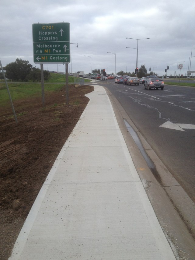
Notes: (null)
Address: Mandible St
Map: http://maps.google.com/maps?q=-33.904475,151.200307
Coordinates: -33.904475,151.200307
Photo:
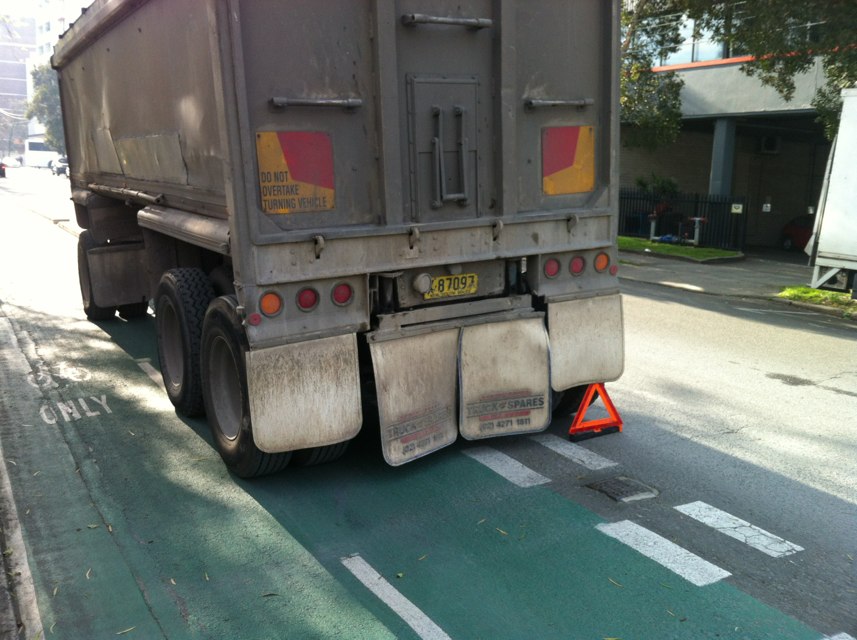
Notes: Testing only
Address: 12 Den rd
Map: http://maps.google.com/maps?q=-42.438530,147.059967
Coordinates: -42.438530,147.059967
Photo:

Notes: Massive Unmaintained pothole
Address: 34 Coward St
Map: http://maps.google.com/maps?q=-33.926621,151.203952
Coordinates: -33.926621,151.203952
Photo:
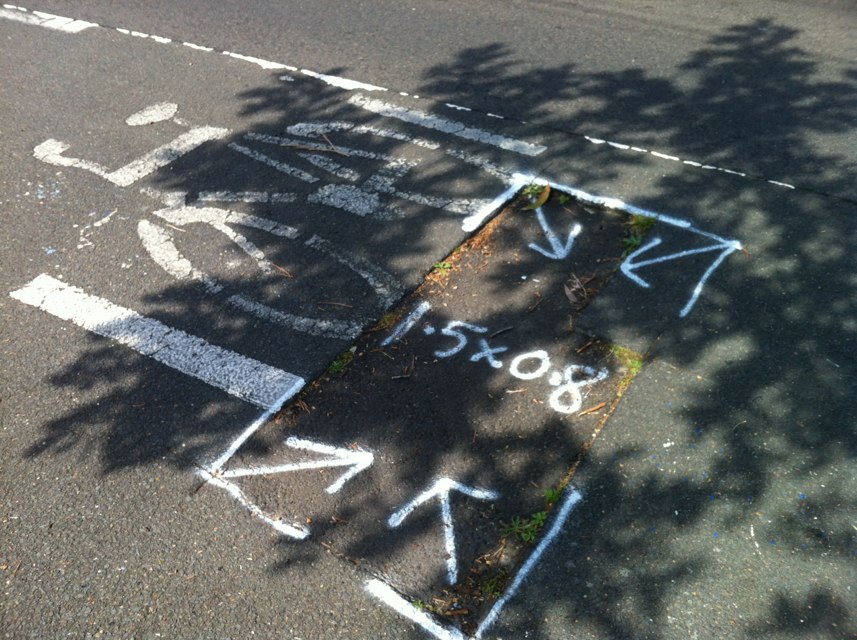
Notes: M80 to Greensborough
Address: Metropolitan Ring Rd
Map: http://maps.google.com/maps?q=-37.686860,145.073665
Coordinates: -37.686860,145.073665
Photo:
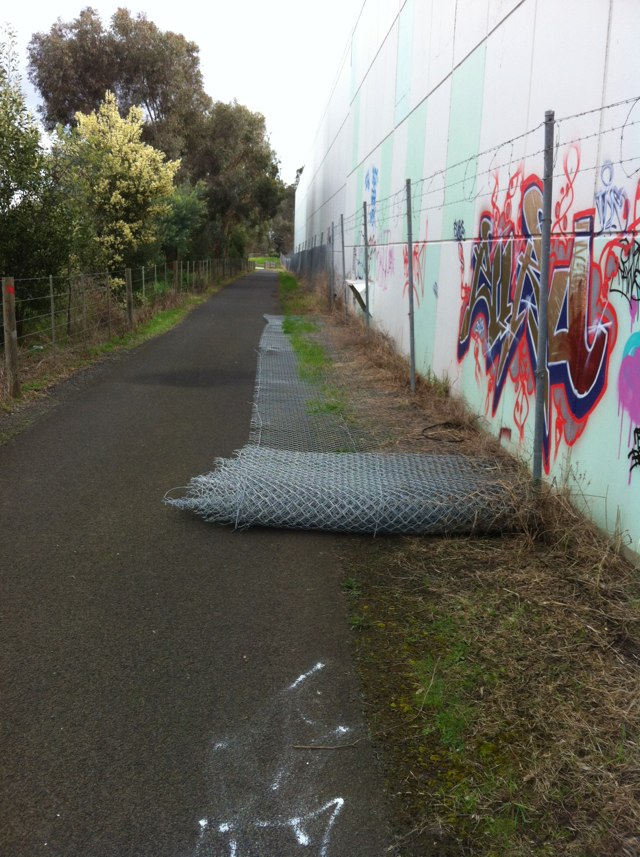
Notes: (null)
Address: Gordon Ave
Map: http://maps.google.com/maps?q=-32.924379,151.751505
Coordinates: -32.924379,151.751505
Photo:
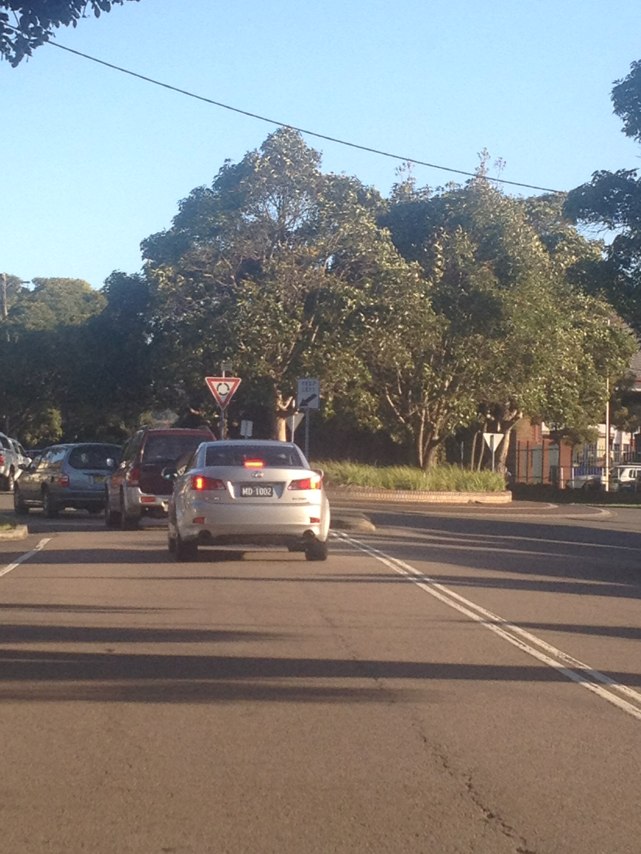
Notes: (null)
Address: 83 Mitchell St
Map: http://maps.google.com/maps?q=-32.945212,151.753181
Coordinates: -32.945212,151.753181
Photo:
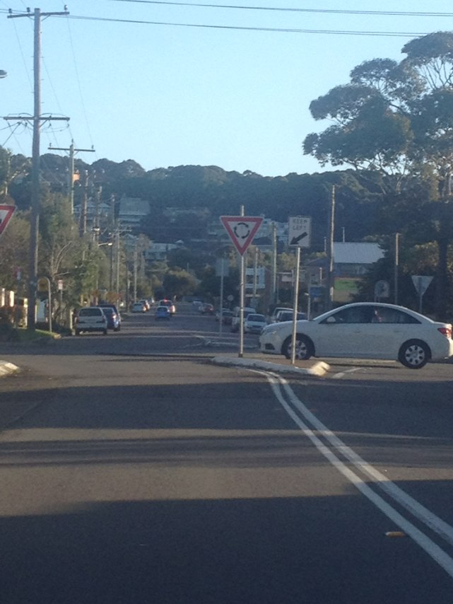
Notes: Damaged invisible route signs. Absence of route signs
Address: 47-53 Hampstead Rd
Map: http://maps.google.com/maps?q=-33.869868,151.069353
Coordinates: -33.869868,151.069353
Photo:
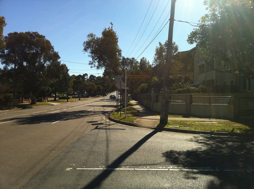
Notes: It would be rally helpful if there was a sign on this pole telling you where each path goes (river/bridge). How bout it?
Address: LOT 388 Stirling Hwy
Map: http://maps.google.com/maps?q=-32.037985,115.757836
Coordinates: -32.037985,115.757836
Photo:
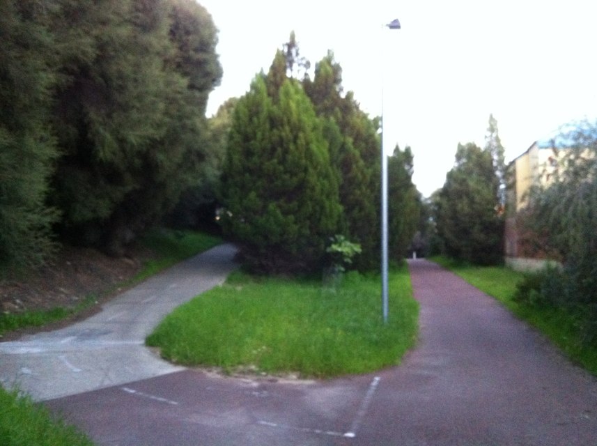
Notes: Route signage vandalised
Address: 53 Ingham Ave
Map: http://maps.google.com/maps?q=-33.869571,151.135189
Coordinates: -33.869571,151.135189
Photo:
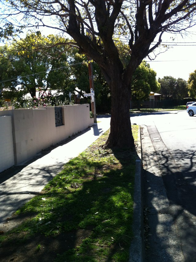
Notes: (null)
Address: 51 Coward St
Map: http://maps.google.com/maps?q=-33.926438,151.201585
Coordinates: -33.926438,151.201585
Photo:
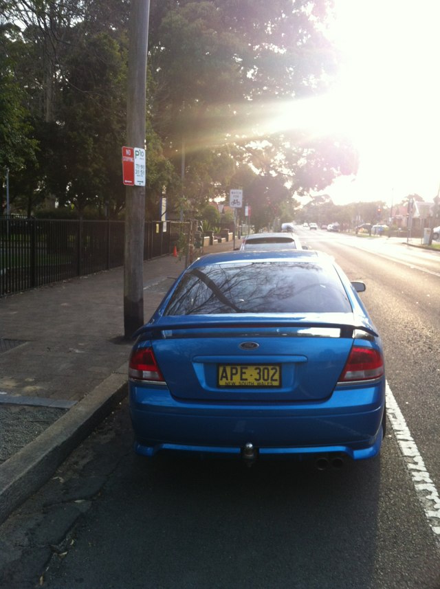
Notes: Route signs removed and vandalised
Address: Patterson St
Map: http://maps.google.com/maps?q=-33.863912,151.096430
Coordinates: -33.863912,151.096430
Photo:

Notes: Testing
Address: Den Rd
Map: http://maps.google.com/maps?q=-42.436071,147.049874
Coordinates: -42.436071,147.049874
Photo:
Notes: Barbed wire into path
Address: 46 Enterprise Dr
Map: http://maps.google.com/maps?q=-37.686546,145.073600
Coordinates: -37.686546,145.073600
Photo:
Notes: Testing only
Address: 12555 Highland Lakes Rd
Map: http://maps.google.com/maps?q=-41.680719,146.740421
Coordinates: -41.680719,146.740421
Photo:
Notes: Cycling between Scarborough and Hillarys WA you create a danger to pedestrians if you want to maintain any kind of sensible speed using the shared path. There is simply too much pedestrian use for effective and safe sharing. Bikes should be able to use the road (West Coast Dve) but it is dangerous for cyclists. The road speed limit between Trigg and Hillarys should be lowered to 30 or 40 kmh with speed limiting infrastructure. Vehicles towing trailers including boats should be encouraged to use the alternative Marmion ave route. The road should have marked bike lanes and be designated a bicycle priority road
Address: 347 W Coast Dr
Map: http://maps.google.com/maps?q=-31.875480,115.753198
Coordinates: -31.875480,115.753198
Photo:

Notes: (null)
Address: 41 Barrow St
Map: http://maps.google.com/maps?q=-37.758743,144.969760
Coordinates: -37.758743,144.969760
Photo:

Notes: Traveling from the Northern suburbs to Footscray is a danger as this bike path suddenly ends as drops the rider into a 70kmh zone with no cycle lane!
Address: 64-70 Dynon Rd
Map: http://maps.google.com/maps?q=-37.804492,144.936235
Coordinates: -37.804492,144.936235
Photo:

Notes: There is limited light along Marshall Road in Bennett Springs, WA. There is a small bridge with a very thin shoulder on it and cars need to swerve around when passing cyclists.
Address: Marshall Rd
Map: http://maps.google.com/maps?q=-31.855616,115.952325
Coordinates: -31.855616,115.952325
Photo:

Notes: Taro rail bridge The cycle lane just stops Only place to go is into traffic at 90km One death a few weeks ago how many more till something is done
Address: New England Hwy
Map: http://maps.google.com/maps?q=-32.810370,151.671437
Coordinates: -32.810370,151.671437
Photo:
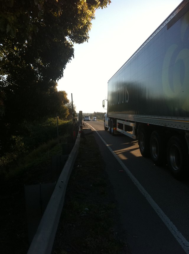
Notes: Vehicles constantly park in bike lane to pickup passengers especially from 5.00pm on week days
Address: On frome st from north tce going north along frome st
Map: http://maps.google.com/maps?q=-34.924465,138.608078
Coordinates: -34.924465,138.608078
Photo:

Notes: There is no shoulder or path crossing Taro bridge on New eng highway in west direction. 2 lanes of traffic traveling at 100kph.
Address: New England Hwy
Map: http://maps.google.com/maps?q=-32.810601,151.671356
Coordinates: -32.810601,151.671356
Photo:

Notes: Poor weather has eroded road along with high vol of mining commuter traffic. The surface is total broken and large crater like potholes. Cycling we forced onto wrong side of road and into oncoming traffic. Traffic cross to wrong side of road which is very scary/dangerous when riding in a eastly direction
Address: 608 Maitland Vale Rd
Map: http://maps.google.com/maps?q=-32.671677,151.525698
Coordinates: -32.671677,151.525698
Photo:

Notes: Cyclist injured after falling on loose surface
Address: Bluewater trail
Map: http://maps.google.com/maps?q=-21.136292,149.176316
Coordinates: -21.136292,149.176316
Photo:

Notes: Large cracks and potentially dangerous bumps caused by tree roots all along the northern portion of linear path roughly between Kooralla Grove and Pitcairn Avenue
Address: Riverway
Map: http://maps.google.com/maps?q=-34.917382,138.527011
Coordinates: -34.917382,138.527011
Photo:
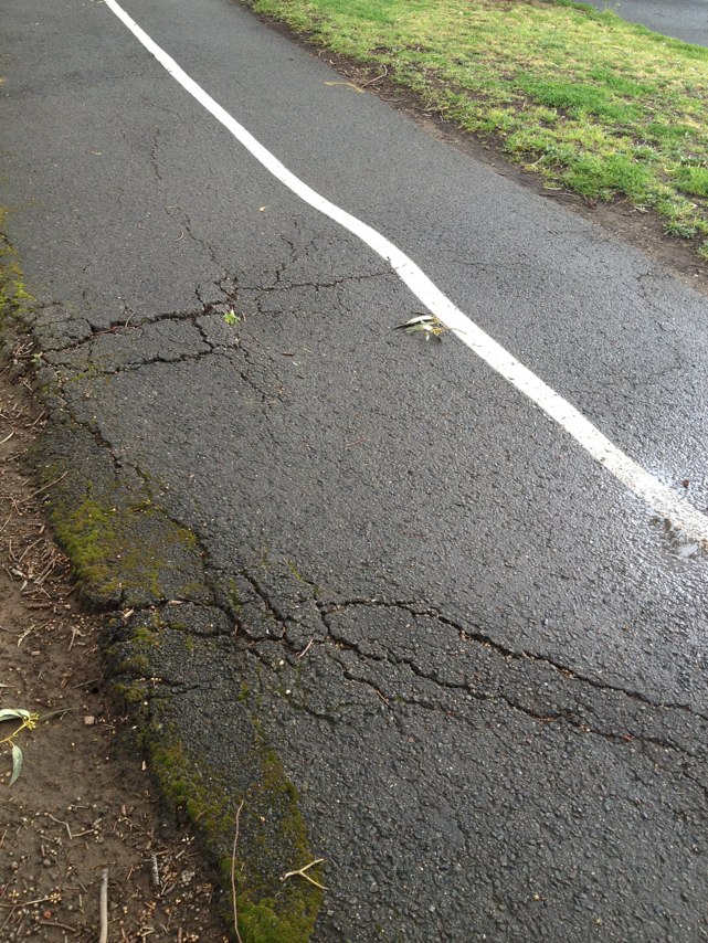
Notes: There is no safe way to cycle from Smithton to Stanley. The Bass Hwy has a bad shoulder and is a 100kph zone. Motorists often pass too close, too fast and I have had a truck even clip my elbow. Actually riding in the traffic lane tends to make motorists give room however this is extremely nerve racking and I gather not appreciated by motorists!
Address: Bass Hwy
Map: http://maps.google.com/maps?q=-40.832771,145.201909
Coordinates: -40.832771,145.201909
Photo:

Notes: Cyclists constantly cross the Evans street and Davey street intersection against a red cycle light. I have personally seen over 6 occasions where a cyclist almost caused an accident involving themselves from traffic turning into Evan street from Davey street or from traffic in Evan street crossing Davey street when the lights change.
Address: Davey St
Map: http://maps.google.com/maps?q=-42.881027,147.334170
Coordinates: -42.881027,147.334170
Photo:

Notes: Cyclists travel from Evans street along the Davey street waterfront where there are pedestrians walking. My wife and I have both almost been struck by cyclists traveling at speed along the waterfront. I have also seen this happen with families walking along there with little children who likewise are at risk of being hit. The cyclists come up behind pedestrians and fly by with no warning.
Address: 15 Hunter St
Map: http://maps.google.com/maps?q=-42.881185,147.334256
Coordinates: -42.881185,147.334256
Photo:

Notes: A member of the Circular Head Cyclists group has suggested sealing the unused railway between Smithton and Somerset. This could provide for a number of other cycle routes off the highway and into good routes in the farmlands south.
Address: LOT 1 Bass Hwy
Map: http://maps.google.com/maps?q=-40.834445,145.274596
Coordinates: -40.834445,145.274596
Photo:

Notes: (null)
Address: Sandy bay road
Map: http://maps.google.com/maps?q=-42.887062,147.328629
Coordinates: -42.887062,147.328629
Photo:

Notes: What about a proposal to run a track from smithton or at least Wiltshire to somerset/cooee where the unused railway line is situated. Seal over the line and there would be a safe path for all users.
Address: 2A Murray St
Map: http://maps.google.com/maps?q=-40.835203,145.123915
Coordinates: -40.835203,145.123915
Photo:

Notes: Leaving Station st Mordialloc and turning right into Nepean Highway, the visual cue for motorists is to keep the round markers on the left. Similarly cyclists keep the markers on their right. However at the completion of the turn the rider and motorist tend to converge as the markers suggest to the motorist to come in quite close to the gutter, hence squeezing the cyclist out. A better visual cue is needed for both cyclist and motorist.
Address: Station St
Map: http://maps.google.com/maps?q=-38.012247,145.090503
Coordinates: -38.012247,145.090503
Photo:
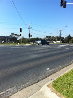
Notes: The bike lane heading north in Station st from Paterson River (Carrum) to just south of Chelsea is always occupied with vehicles, more so in close proximity to the railway stations. This obviously necessitates cyclists to alternately enter and leave the bike lane into the one vehicle car lane. Needless to say, a heightened risk for cyclists.
Address: 405B Station St
Map: http://maps.google.com/maps?q=-38.062420,145.120178
Coordinates: -38.062420,145.120178
Photo:
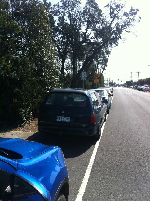
Notes: Curbing narrows the available space on the road shoulder creating a squeeze point where separation between bicycles and motor vehicles is reduced. The curbing is itself an obstacle . Regards Mitch Bright
Address: Lomandra Dr
Map: http://maps.google.com/maps?q=-27.420486,153.097909
Coordinates: -27.420486,153.097909
Photo:
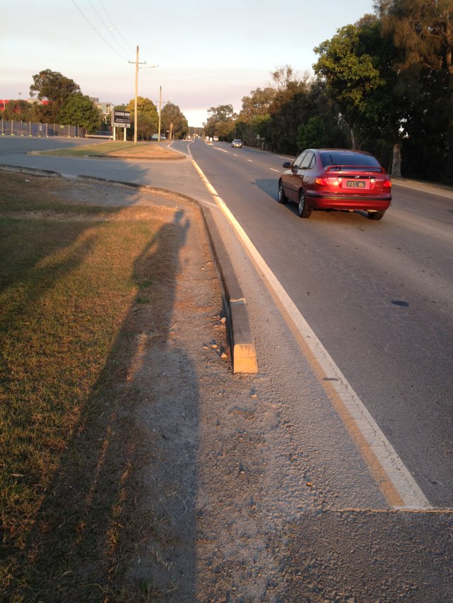
Notes: Flooding on path during rain. No drainage.
Address: 19 Alison Rd
Map: http://maps.google.com/maps?q=-33.903369,151.225541
Coordinates: -33.903369,151.225541
Photo:

Notes: Road too narrow and rough
Address: 425 Point Cook Rd
Map: http://maps.google.com/maps?q=-37.911633,144.751611
Coordinates: -37.911633,144.751611
Photo:

Notes: Bike lane non existent anymore, pot holes galore!!!
Address: Sneydes Rd
Map: http://maps.google.com/maps?q=-37.899047,144.742858
Coordinates: -37.899047,144.742858
Photo:

Notes: The bike lane is cobblestones
Address: Chapel St
Map: http://maps.google.com/maps?q=-37.836103,144.996302
Coordinates: -37.836103,144.996302
Photo:

Notes: Cars approaching Glynburn Rd from Hectorville do not slow or look properly for cyclists in the lane. Ideally some traffic calming and green lane painted here.
Address: 55 Glynburn Rd
Map: http://maps.google.com/maps?q=-34.895206,138.656859
Coordinates: -34.895206,138.656859
Photo:
Notes: Fallen tree
Address: 195 Colin Pl
Map: http://maps.google.com/maps?q=-31.942867,115.842998
Coordinates: -31.942867,115.842998
Photo:
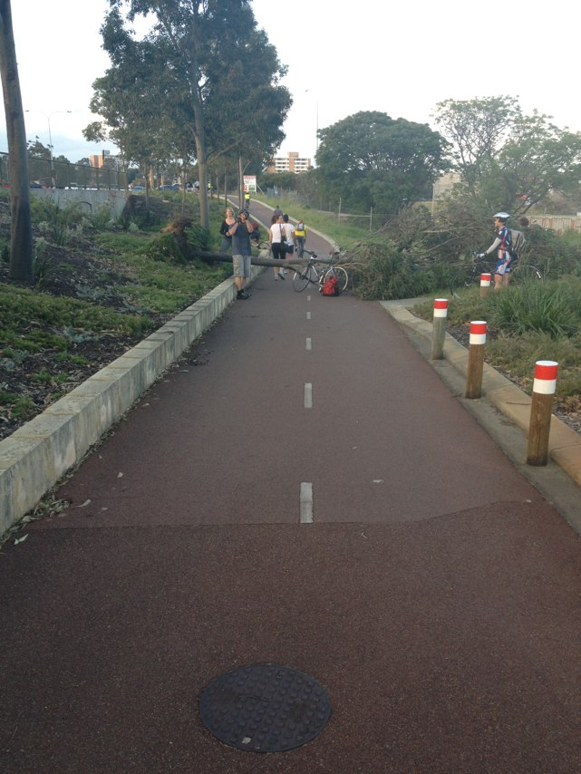
Notes: Tree branch too long
Address: 205 Harborne St
Map: http://maps.google.com/maps?q=-31.925870,115.819871
Coordinates: -31.925870,115.819871
Photo:

Notes: Industrial contractors have jacked a public hydrant in the middle of this shared path and obstruct the entire shared path with a pump and hose
Address: S Dowling St
Map: http://maps.google.com/maps?q=-33.908892,151.212985
Coordinates: -33.908892,151.212985
Photo:

Notes: Transverse gap and elevation difference between concrete bridge deck and shared pathway on approach ramp of Charlie Earp overpass constitutes a hazard for cyclists and pedestrians.
Address: Lakeside Rd
Map: http://maps.google.com/maps?q=-27.413447,153.084333
Coordinates: -27.413447,153.084333
Photo:
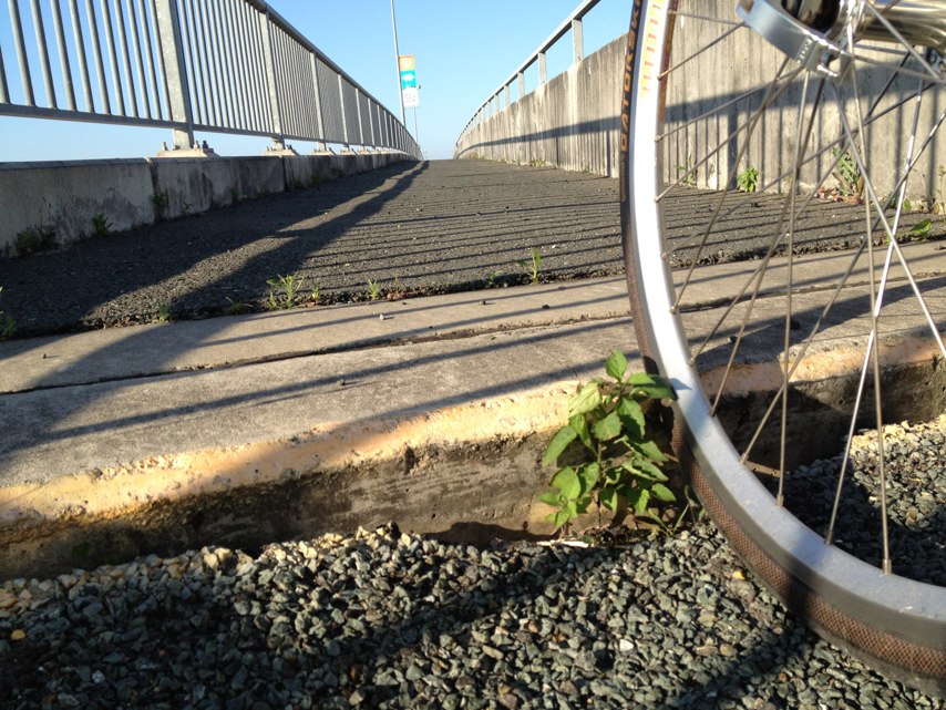
Notes: Path along Lakeside Drive at Brisbane Airport ends abruptly. Path should be extended to connect to the roadway or to another path.
Address: Lakeside Rd
Map: http://maps.google.com/maps?q=-27.414672,153.084011
Coordinates: -27.414672,153.084011
Photo:
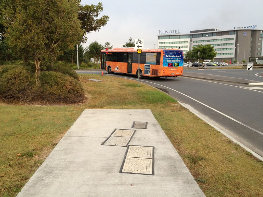
Notes: Crossing Hammond road heading west toward the coast along beeliar drive. The bike cross over is less than a car length back from beeliar drive. Impossible to negotiate without dismounting and maneuvering the bike manually around cars waiting to turn.
Address: 28 Streeter Way
Map: http://maps.google.com/maps?q=-32.131159,115.795147
Coordinates: -32.131159,115.795147
Photo:

Notes: The spot its part of the new bikeway which runs parallel to Reid hwy. the water has been there for long time.
Address: 34 Luderman Road
Map: http://maps.google.com/maps?q=-31.868925,115.885033
Coordinates: -31.868925,115.885033
Photo:
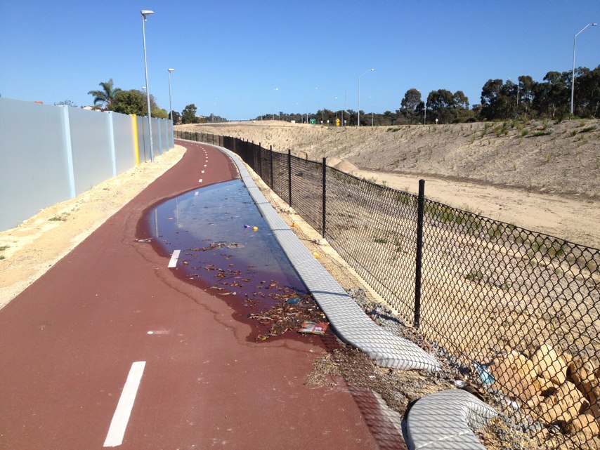
Notes: Road works getting done and dug up my path now I have to ride in really boggy dirt or on road
Address: Flores rd
Map: http://maps.google.com/maps?q=0.000000,0.000000
Coordinates: 0.000000,0.000000
Photo:

Notes: A give way/zebra crossing on a sharp bend with no visibility coming off wuriddgeri way... Bad for any peds coming off flinders st
Address: Flinders St
Map: http://maps.google.com/maps?q=-37.821893,144.952468
Coordinates: -37.821893,144.952468
Photo:

Notes: (null)
Address: Powis Street
Map: http://maps.google.com/maps?q=-31.922263,115.825066
Coordinates: -31.922263,115.825066
Photo:
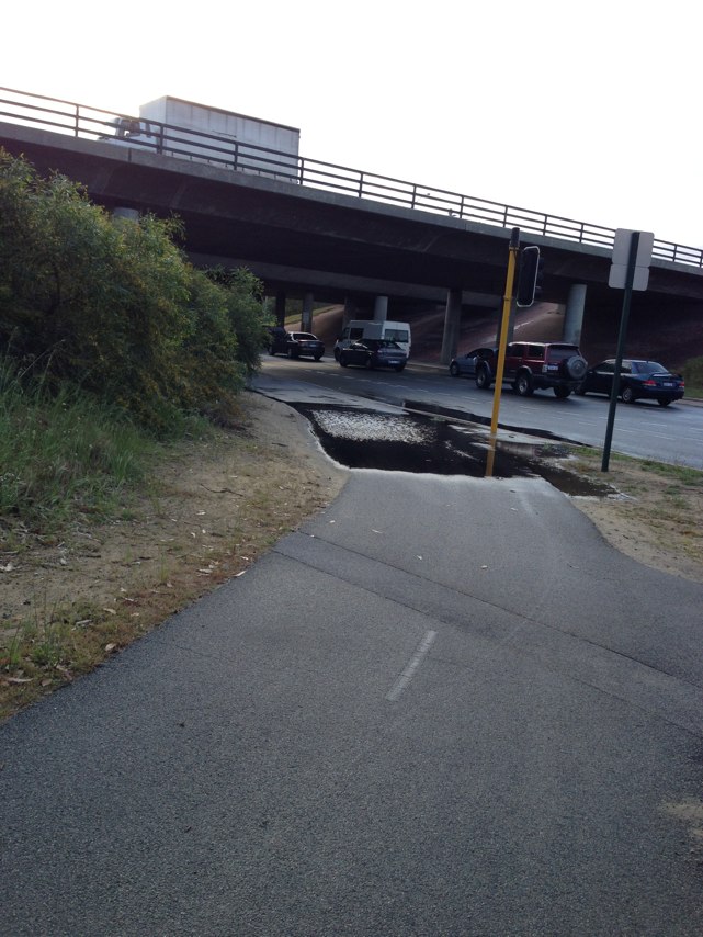
Notes: Sun obscures the vision of motorists at this intersection at sunset.
Address: 220 George Street
Map: http://maps.google.com/maps?q=-33.927358,151.206205
Coordinates: -33.927358,151.206205
Photo:

Notes: Fantastic bike lane along west coast highway. Thank you. A lot of cyclists use Challenger Pde and then go along highway to Perry Lakes. If an access ramp could be installed on this bike path so that cyclists can come off Challenger Pde and on to the path. The current keen is too steep to mount safely.
Address: LOT 12965 W Coast Hwy
Map: http://maps.google.com/maps?q=-31.951371,115.761558
Coordinates: -31.951371,115.761558
Photo:
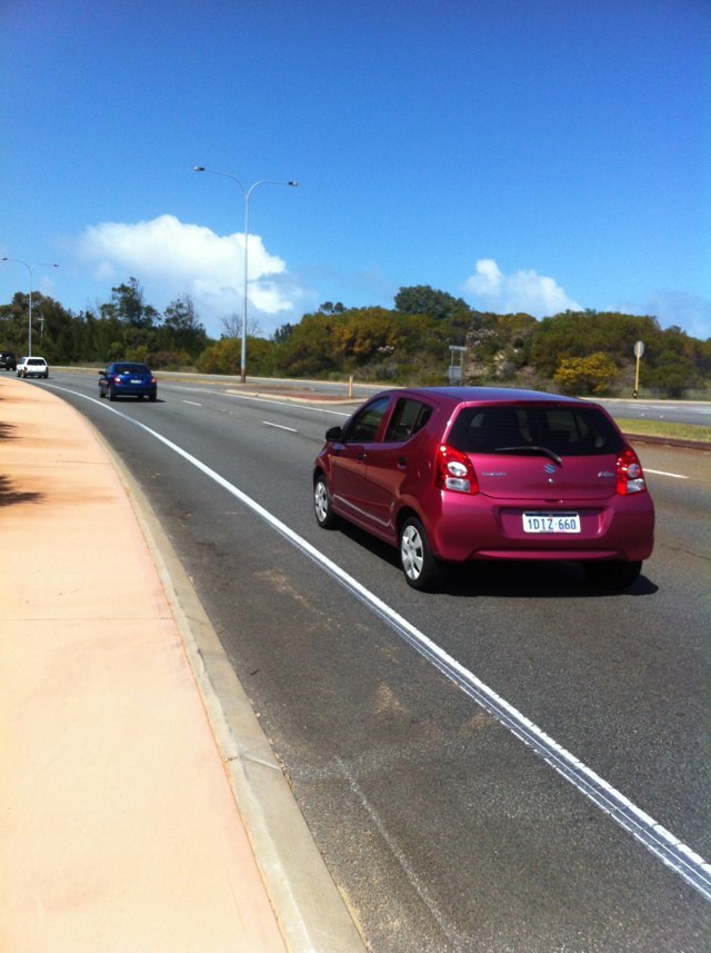
Notes: It happens all the time on Port Road! This bus was stopped for the driver to buy a snack from the pie shop.
Address: 546 Port Rd
Map: http://maps.google.com/maps?q=-34.894630,138.555715
Coordinates: -34.894630,138.555715
Photo:
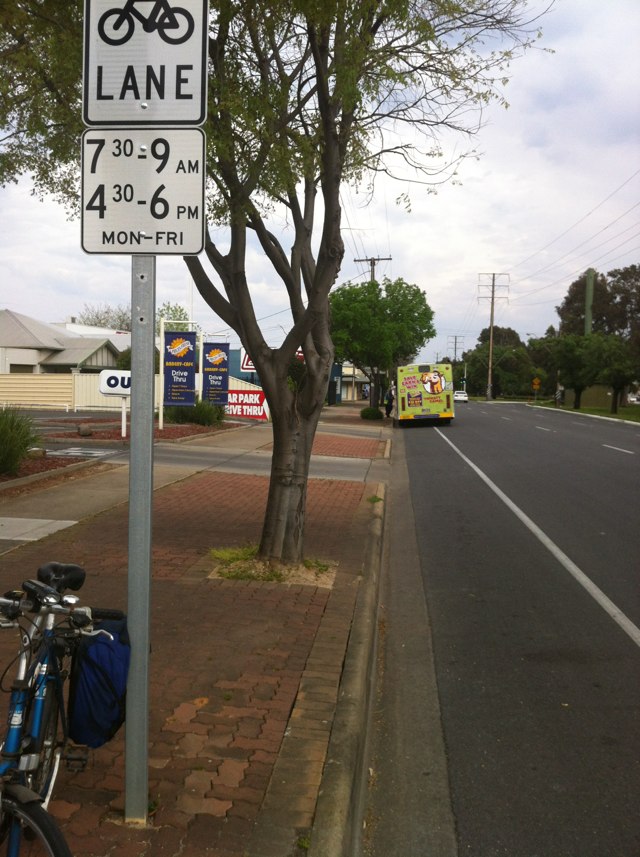
Notes: Where the Goolwa to Victor Harbor bike path meets the busy main road at Victor, a sign is needed to direct cyclists onto the footpath otherwise you miss the continuation of the bike route 400m further on and also the bike bridge over the Hindmarsh River.
Address: Hayward St
Map: http://maps.google.com/maps?q=-35.541293,138.634042
Coordinates: -35.541293,138.634042
Photo:

Notes: The new and proposed traffic calming islands are going to be dangerous for cyclists as there is not enough space on the left to let cyclists through and forces cyclists into traffic on the right.
Address: Winterfold Rd
Map: http://maps.google.com/maps?q=-32.074847,115.796508
Coordinates: -32.074847,115.796508
Photo:
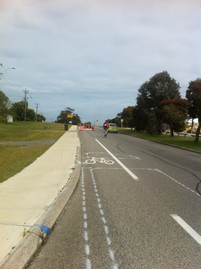
Notes: Bike path leads down Stubbs tce however passing underneath the brand new underpass located adjacent to karakatta cemetery proves very difficult and dangerous. Once through the underpass there is no bike path link to Aberdeen Ed towards the QE2 hospital complex.
Address: 447 Railway Rd
Map: http://maps.google.com/maps?q=-31.965526,115.800645
Coordinates: -31.965526,115.800645
Photo:

Notes: The parallel bars on the drainage grates on Qantas Drive at the Brisbane Airport can catch a bicycle wheel and cause the rider to loose control of the bicycle. There are 40 wheel grabbing grates on Qantas Drive which is a designated bicycle route.
Address: 52 Qantas Dr
Map: http://maps.google.com/maps?q=-27.414182,153.091909
Coordinates: -27.414182,153.091909
Photo:
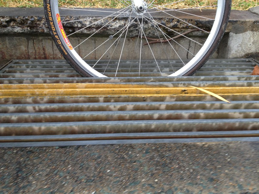
Notes: The road goes over a bridge over the Yarrowee Creek.On the east facing lane (the north side of the road), at the bridge the road suddenly narrows and a raised footpath suudenly takes up the side of the road. If an unwary cyclist is not travelling in the centre of the car lane when approaching the bridge he or she is suddenly confronted with the choice between a raised curb or the cars to his right trying to pass on the narrow bridge. An accident waiting to happen.
Address: 40 Grant street
Map: http://maps.google.com/maps?q=-37.567539,143.858475
Coordinates: -37.567539,143.858475
Photo:

Notes: Bike rider zooming along in the shared bike / roadway on the wrong side to normal road rules. Did not slow down what do ever and pushed cars into the path of bike riders that were doing the right thing.
Address: Tasman Highway on ramp
Map: http://maps.google.com/maps?q=-42.863603,147.334170
Coordinates: -42.863603,147.334170
Photo:

Notes: (null)
Address: 112 Nicholson St
Map: http://maps.google.com/maps?q=-37.805146,144.996955
Coordinates: -37.805146,144.996955
Photo:
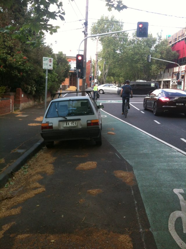
Notes: Bicycle lane terminates at Port Wakefield Road when heading southwest, forcing bicycles into high traffic zone at intersection. Bicycle lane requires continuation onto Churchill Rd North to provide safe passage through merging traffic zone
Address: Montague Road
Map: http://maps.google.com/maps?q=-34.827523,138.599052
Coordinates: -34.827523,138.599052
Photo:
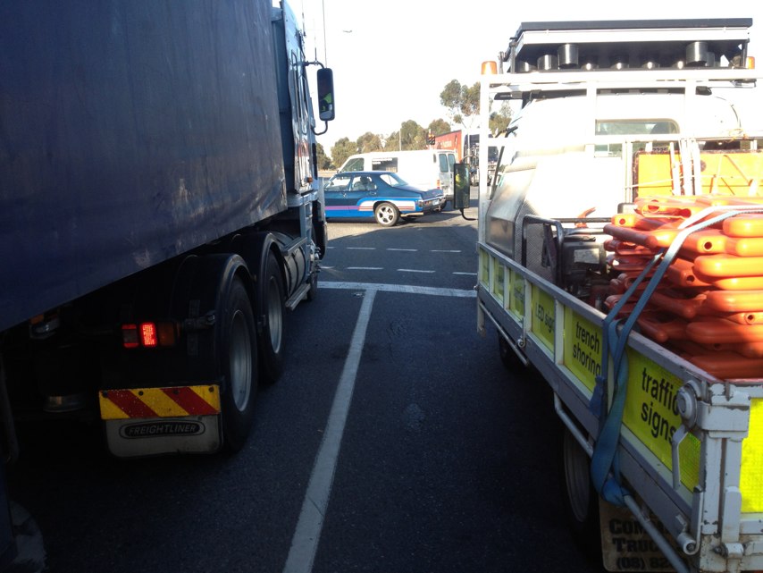
Notes: A squeeze point for cyclists has been created by concrete curbing protruding over the road shoulder of Airport Drive at the Chloris Rd intersection at Brisbane Airport. The curbing needs to be set back further from the traffic lanes to allow cyclists riding on the road shoulder of Airport Drive adequate separation from motorised vehicles.
Address: Airport Dr
Map: http://maps.google.com/maps?q=-27.391507,153.114395
Coordinates: -27.391507,153.114395
Photo:
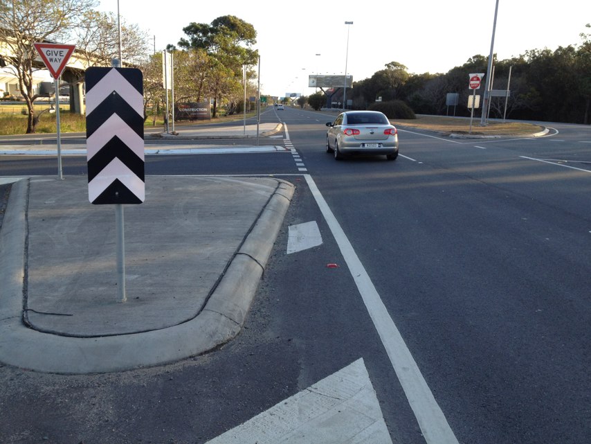
Notes: Car drivers turning left feel like they are going straight ahead, so they sweep bikes off the road. This has happened to me. Some bike signage might help.
Address: Main Rd
Map: http://maps.google.com/maps?q=-37.093703,144.203798
Coordinates: -37.093703,144.203798
Photo:
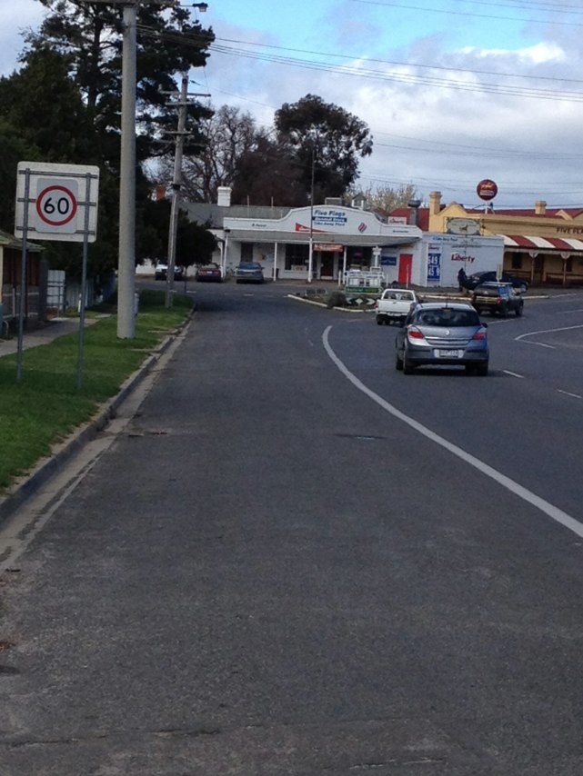
Notes: Gravel should would be dangerous enough. It is overgrown both sides so you cant ride safely on it or get off the road when cars coming both ways. 100km zone and a bend. Not safe.
Address: Midland hwy
Map: http://maps.google.com/maps?q=-37.171772,144.146027
Coordinates: -37.171772,144.146027
Photo:

Notes: Potholes with dodgy repairs - worse than ever.
Address: Midland Hwy
Map: http://maps.google.com/maps?q=-37.116263,144.180769
Coordinates: -37.116263,144.180769
Photo:

Notes: Sealed shoulder becomes gravel right where the 100km zone starts. Overgrown and dangerous this whole south-bound section.
Address: Midland Hwy
Map: http://maps.google.com/maps?q=-37.153697,144.160880
Coordinates: -37.153697,144.160880
Photo:

Notes: Absence of a sealed road shoulder on Lomandra Drive at Brisbane Airport makes commuting by bicycle more difficult than by automobile.
Address: Lomandra Dr
Map: http://maps.google.com/maps?q=-27.421166,153.102332
Coordinates: -27.421166,153.102332
Photo:
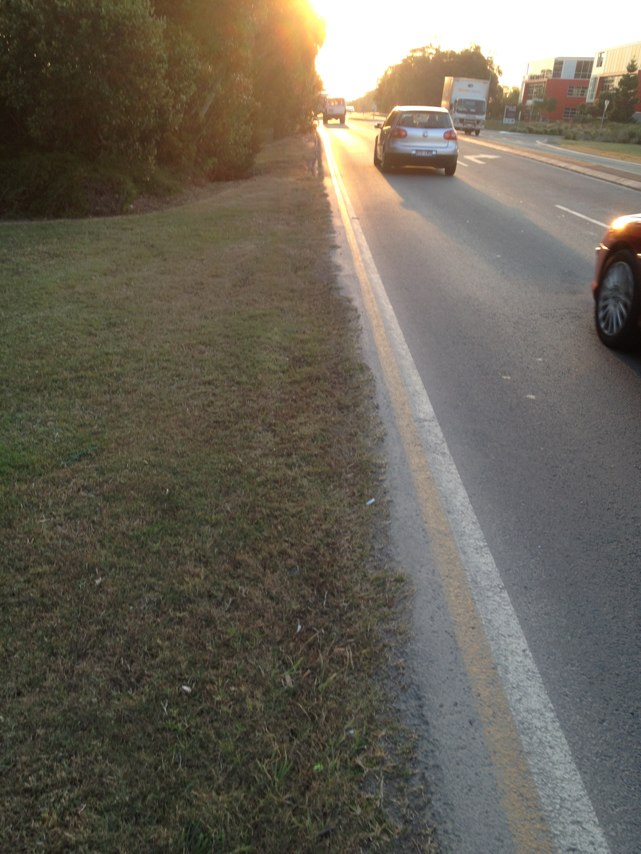
Notes: Lovely 10km ride here!
Address: 79 Limestone Rd
Map: http://maps.google.com/maps?q=-37.172863,144.139952
Coordinates: -37.172863,144.139952
Photo:

Notes: This piece of cycle path is spoke breakingly bad
Address: Mitchell Freeway on ramp
Map: http://maps.google.com/maps?q=-31.820977,115.784159
Coordinates: -31.820977,115.784159
Photo:

Notes: When traveling north on frome road there are three car lanes and a bike lane. From the left lane you can go left or straight ahead in a car. Car drivers though use the bike lane to create a fourth lane to turn left with. Pretty dangerous in peak hour when everyone wants to home.
Address: 228 Frome Street
Map: http://maps.google.com/maps?q=-34.921301,138.607830
Coordinates: -34.921301,138.607830
Photo:
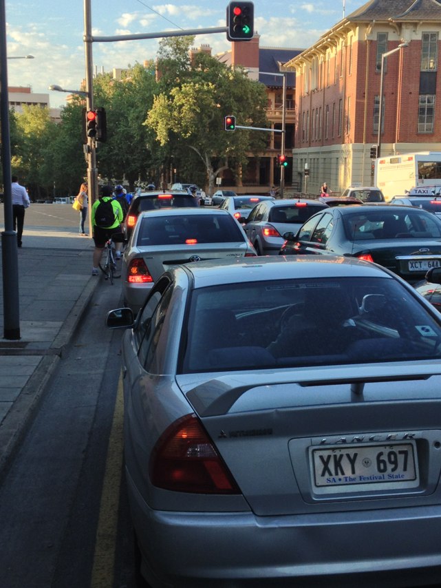
Notes: Low branches over cyclepath
Address: 173 Gregory St
Map: http://maps.google.com/maps?q=-31.927614,115.821411
Coordinates: -31.927614,115.821411
Photo:
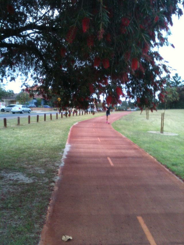
Notes: Continually parked here
Address: 241B Manning Road
Map: http://maps.google.com/maps?q=-32.013279,115.894794
Coordinates: -32.013279,115.894794
Photo:
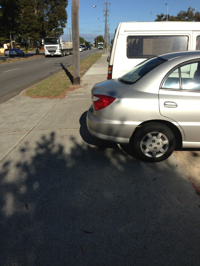
Notes: Water draining to centre of aqueduct across concrete = very slippery. Two people at least fell off this morning. Location approximate. Could do with a warning sign.
Address: Citylink Tollway
Map: http://maps.google.com/maps?q=-37.779201,144.937785
Coordinates: -37.779201,144.937785
Photo:

Notes: Proposed traffic island in bike lane will force cyclists closer to traffic. Why not increase space between kerb and island?
Address: 2 Lockett Street
Map: http://maps.google.com/maps?q=-32.075095,115.795118
Coordinates: -32.075095,115.795118
Photo:
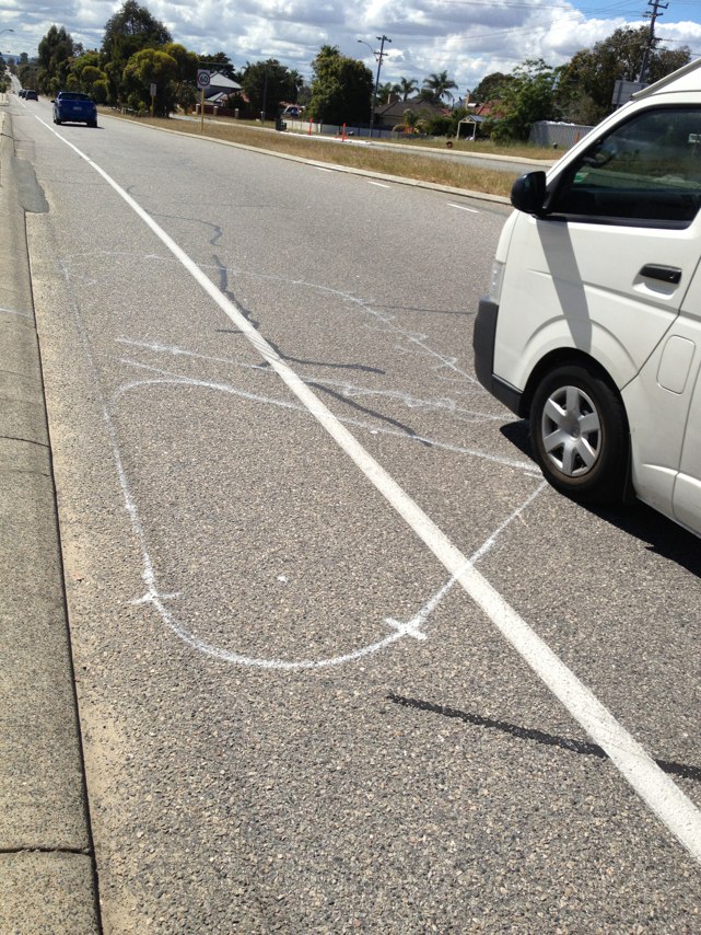
Notes: Road narrows.
Address: 279 Canning Hwy
Map: http://maps.google.com/maps?q=-32.037875,115.778003
Coordinates: -32.037875,115.778003
Photo:

Notes: No joining path
Address: 0 Eelup round about
Map: http://maps.google.com/maps?q=0.000000,0.000000
Coordinates: 0.000000,0.000000
Photo:
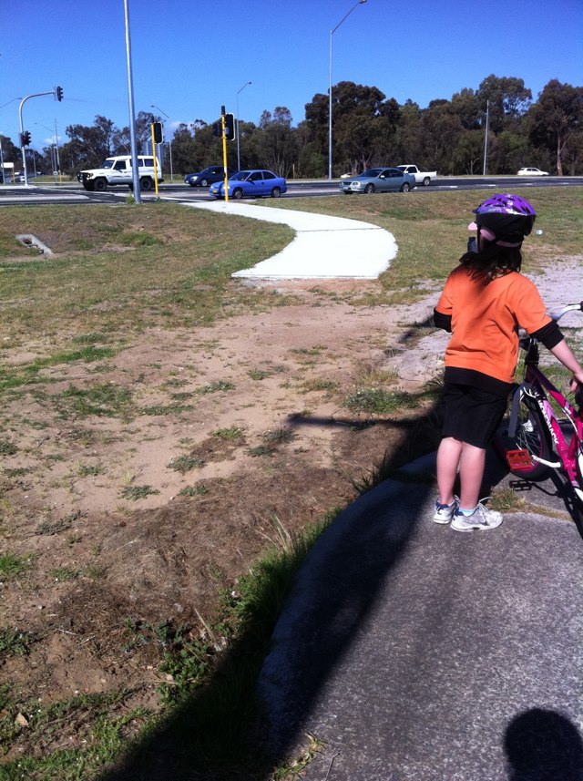
Notes: Taxis in the Copenhagen lane in swanston street is a regular occurrence
Address: 42 Swanston Street
Map: http://maps.google.com/maps?q=-37.800411,144.963898
Coordinates: -37.800411,144.963898
Photo:
Notes: Traffic island built in bike lane; forces cyclists closer to traffic. Why not increase space between kerb and island?
Address: 5056 Winterfold Road
Map: http://maps.google.com/maps?q=-32.074710,115.795926
Coordinates: -32.074710,115.795926
Photo:
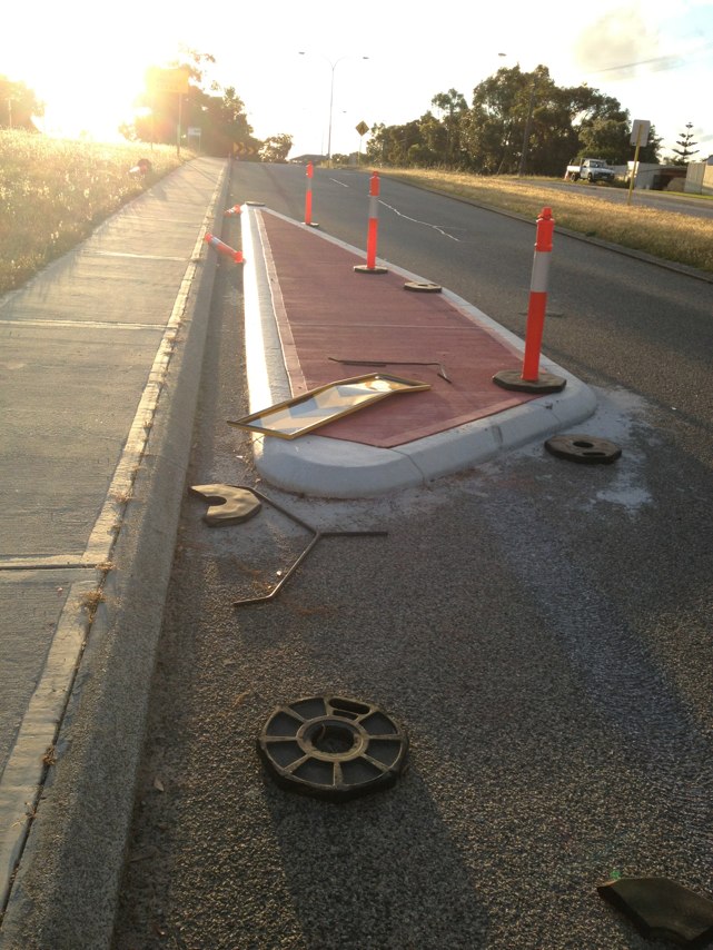
Notes: New roundabout layout makes no provision for cyclists. Cyclist forced closer to traffic.
Address: Marchant Street
Map: http://maps.google.com/maps?q=-32.074396,115.793826
Coordinates: -32.074396,115.793826
Photo:
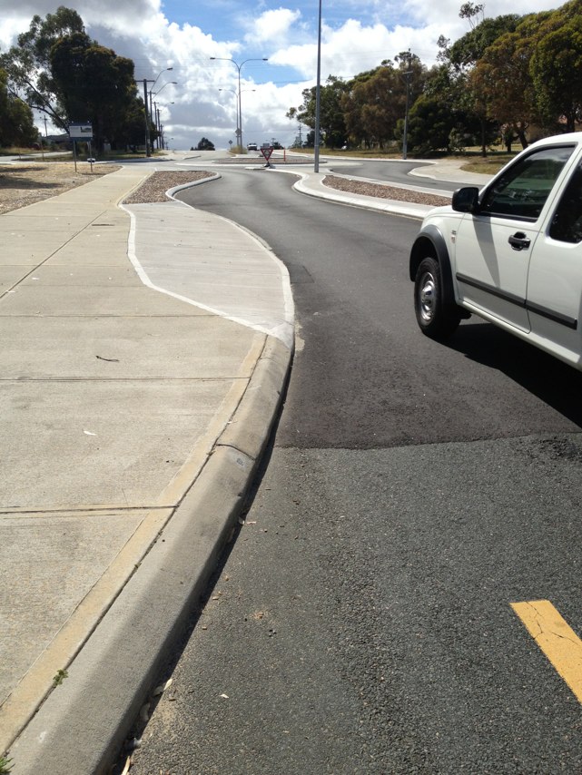
Notes: (null)
Address: Princes highway
Map: http://maps.google.com/maps?q=-34.058430,151.033905
Coordinates: -34.058430,151.033905
Photo:
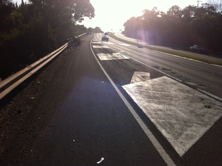
Notes: This traffic island is build right across the bike lane. There isnowhere to go. It appears there are others planned on this section of winterfold rd between stock rd and coolnellup rd
Address: 103 Winterfold Road
Map: http://maps.google.com/maps?q=-32.074760,115.795892
Coordinates: -32.074760,115.795892
Photo:
Notes: In centre of Victoria parade. Road very potholed, uneven and causes bikes to swerve into path of cars coming from behind
Address: 39 Gisborne St
Map: http://maps.google.com/maps?q=-37.808193,144.975698
Coordinates: -37.808193,144.975698
Photo:

Notes: Princes st canning st crossing. Peak hour cars always stop across both bike and pedestrian crossings. Made even worse by recent works that stops bikes being able to get over curb except at small spots. Need to have lights going red earlier both on Nicholson st and rathdowne or better policing of crossing. Please do something. This is a daily issue.
Address: 231245 Canning Street
Map: http://maps.google.com/maps?q=-37.792690,144.973684
Coordinates: -37.792690,144.973684
Photo:
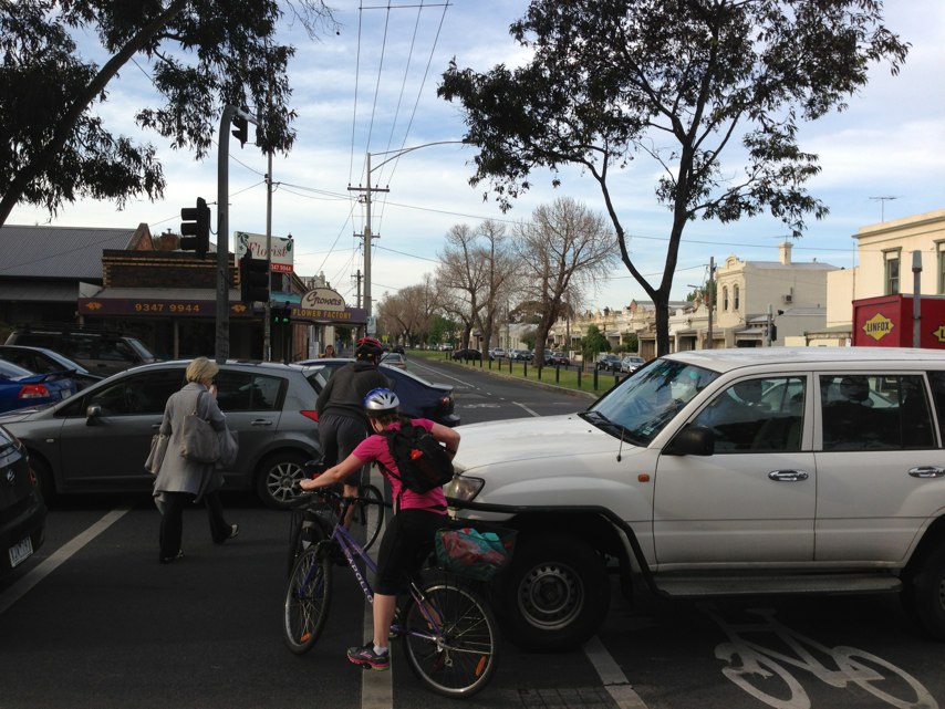
Notes: Fence about to fall on path
Address: Monash Fwy
Map: http://maps.google.com/maps?q=-37.879404,145.084543
Coordinates: -37.879404,145.084543
Photo:

Notes: Some work needed here!
Address: Brixton Street
Map: http://maps.google.com/maps?q=-31.997233,115.761136
Coordinates: -31.997233,115.761136
Photo:
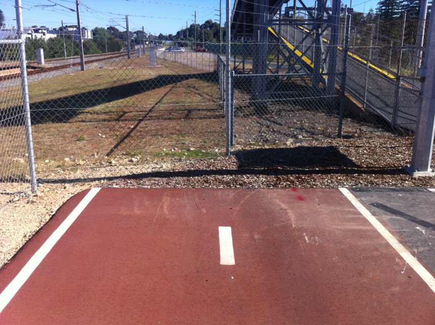
Notes: Large gravel on cycle lane
Address: LOT 4 Princes Hwy
Map: http://maps.google.com/maps?q=-34.639032,150.831748
Coordinates: -34.639032,150.831748
Photo:
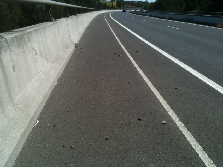
Notes: Lomandra Drive at Brisbane Airport narrows between concrete curbs at the exit of the new Sugarmill Rd roundabout. There is no road shoulder and the concrete curbs prevent cyclists exiting the road to allow faster vehicles to overtake.
Address: Lomandra Dr
Map: http://maps.google.com/maps?q=-27.421358,153.104966
Coordinates: -27.421358,153.104966
Photo:
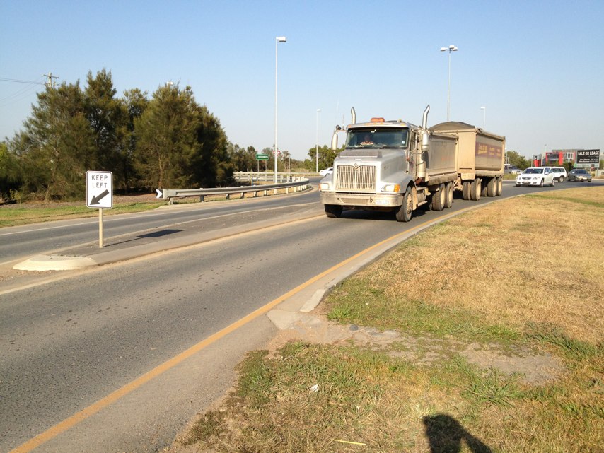
Notes: Broken road surface and potholes on Lomandra Drive at Brisbane Airport are a hazard for cyclists. Repairs needed here.
Address: Lomandra Dr
Map: http://maps.google.com/maps?q=-27.421117,153.102867
Coordinates: -27.421117,153.102867
Photo:
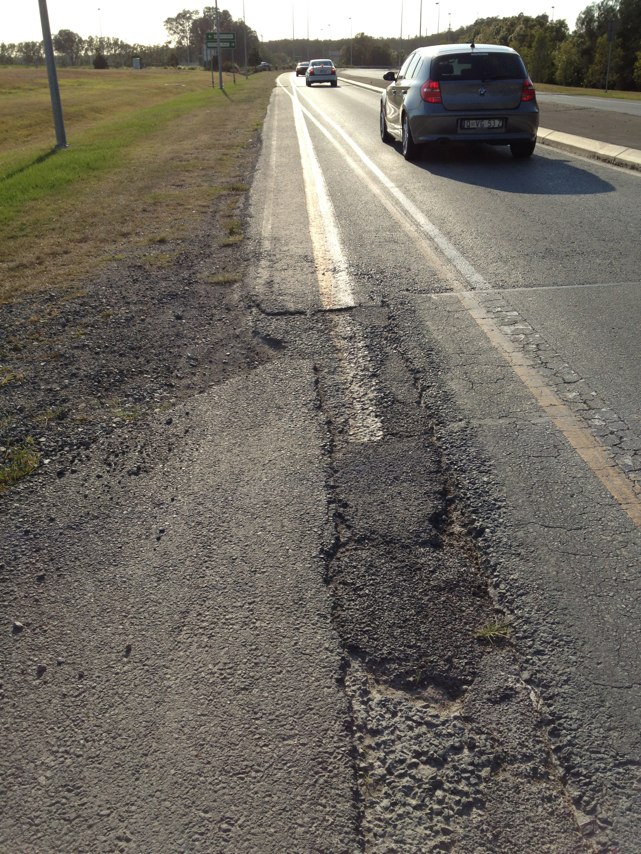
Notes: Narrow lane width constrained by concrete curbing at the intersection of Lomandra Drive and Main Myrtletown Rd at Brisbane Airport makes this intersection bicycle unfriendly.
Address: Lomandra Dr
Map: http://maps.google.com/maps?q=-27.416892,153.124183
Coordinates: -27.416892,153.124183
Photo:
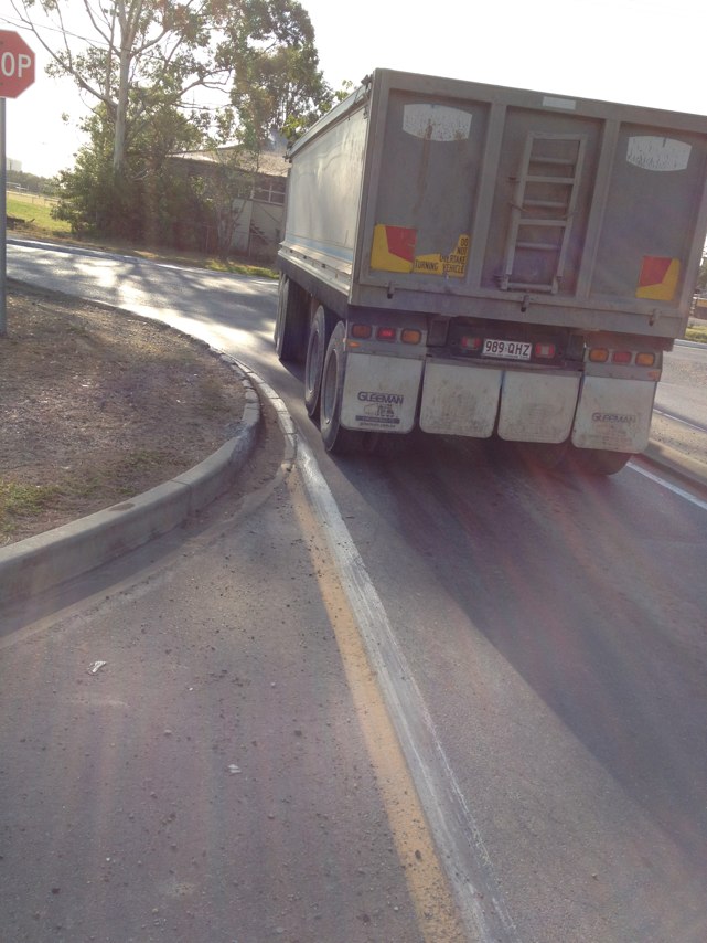
Notes: Lack of an adequate sealed road shoulder and 80km/h vehicle speeds on Lomandra Drive reduces the amenity and attractiveness of this road for bicycle commuters at the Brisbane Airport.
Address: Lomandra Dr
Map: http://maps.google.com/maps?q=-27.417115,153.122052
Coordinates: -27.417115,153.122052
Photo:
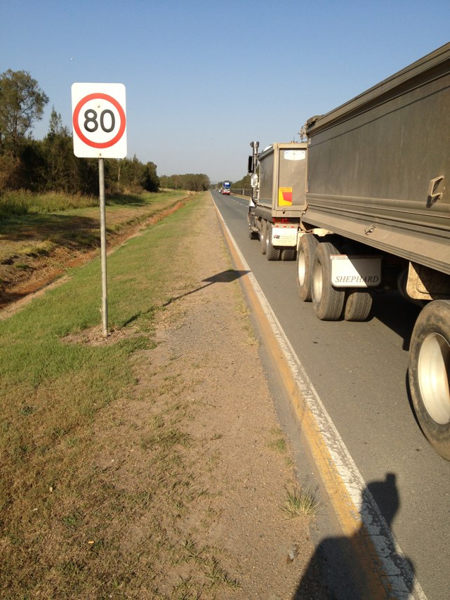
Notes: Roadside debris in bike lane hazardous.
Address: 310 Marion Road
Map: http://maps.google.com/maps?q=-34.951664,138.553734
Coordinates: -34.951664,138.553734
Photo:

Notes: High cyclist-use windy road that cars struggle to overtake us safely on. Path/lane/shoulder would assist
Address: Channel Hwy
Map: http://maps.google.com/maps?q=-42.971003,147.319411
Coordinates: -42.971003,147.319411
Photo:

Notes: Needs way to cross thru continuous traffic please
Address: 202 Orrong Road
Map: http://maps.google.com/maps?q=-31.968856,115.915497
Coordinates: -31.968856,115.915497
Photo:
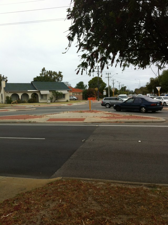
Notes: Groups of raised reflectors on the bicycle route along Qantas Drive at Brisbane Airport are a hazard for cyclists. The reflectors are very slippery when wet and can cause a bicycle rider to loose control.
Address: 52 Qantas Dr
Map: http://maps.google.com/maps?q=-27.413605,153.092607
Coordinates: -27.413605,153.092607
Photo:
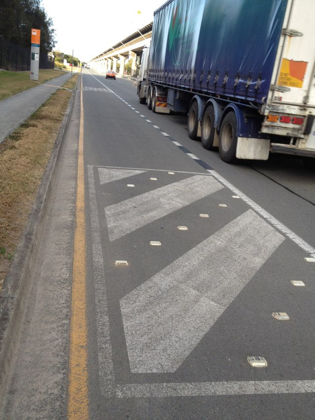
Notes: Heading west, there is 50m without a path from the intersection of old port road until you pass the traffic island. Very dangerous blackspot
Address: Bower Road
Map: http://maps.google.com/maps?q=-34.852578,138.501605
Coordinates: -34.852578,138.501605
Photo:

Notes: The new pedestrian and bicycle bridge across Four Mile Creek at Strathpine . This new bridge is a great improvement on the old wooden bridge as it has an even surface, is wide enough for two people to pass, and is much safer. The approaches are free of obstructions (except the two bollards) and the sight lines for users are much better.
Address: 622 Gympie Rd
Map: http://maps.google.com/maps?q=-27.296541,152.986073
Coordinates: -27.296541,152.986073
Photo:
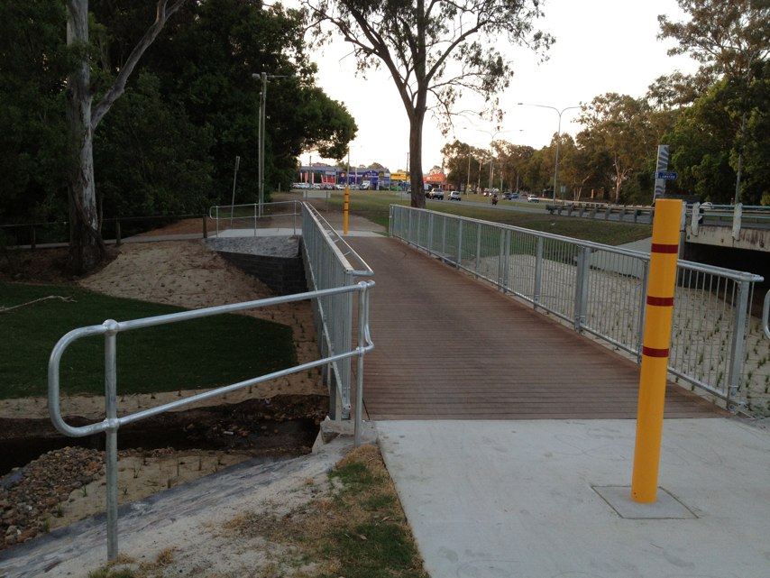
Notes: Heading east, the bike path is absent between Port Road and the train bridge. Whilst just a few hundred metres this is the most dangerous point of my 40km ride due to two lanes of cars trying to use the road at the same time. I have been knocked from my bike twice here
Address: 115 Grand Junction Road
Map: http://maps.google.com/maps?q=-34.852358,138.511569
Coordinates: -34.852358,138.511569
Photo:

Notes: (null)
Address: 1386 Malvern rd
Map: http://maps.google.com/maps?q=-37.853134,145.042337
Coordinates: -37.853134,145.042337
Photo:

Notes: Deep hole in line of corner. Very dangerous. South side shb
Address: 1005 Upper Fort Street
Map: http://maps.google.com/maps?q=-33.860813,151.204956
Coordinates: -33.860813,151.204956
Photo:
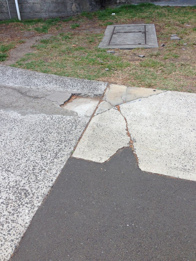
Notes: (null)
Address: 1820 William Street
Map: http://maps.google.com/maps?q=-34.067779,137.585830
Coordinates: -34.067779,137.585830
Photo:
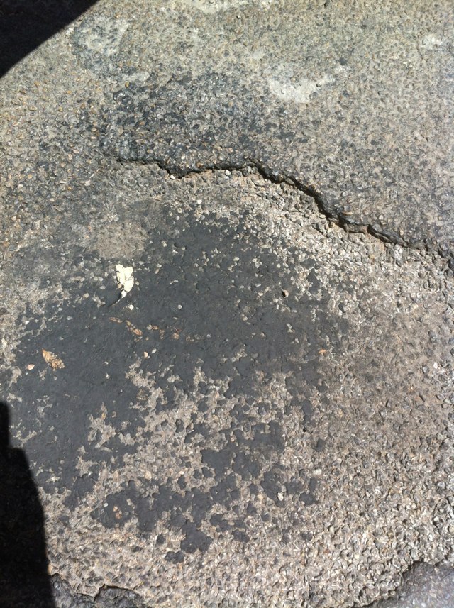
Notes: (null)
Address: 1820 William Street
Map: http://maps.google.com/maps?q=-34.067779,137.585830
Coordinates: -34.067779,137.585830
Photo:
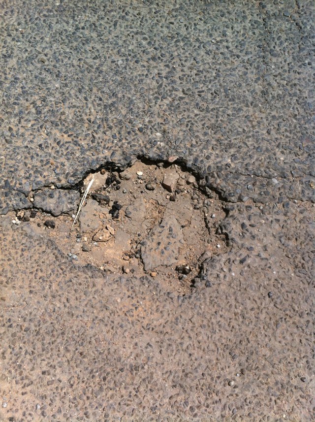
Notes: 6 accidents between car and bicycle have occurred here in the last 12 months. I was hit by a car turning right into Brand St, as I rode towards the city in the bike lane on 8th November 2012 at 8.30am. No one saw the registration of the BMW M5 that hit me. I was not seriously injured but spent the night in hospital. My carbon road bike was written off. I never saw the car before it hit me. Or afterwards. Someone kind drove me to hospital.
Address: 262 Magill Road
Map: http://maps.google.com/maps?q=-34.914722,138.644564
Coordinates: -34.914722,138.644564
Photo:

Notes: Galada Tamboore Path in the vicinity of Merri Creek/ Malcolm Creek crossing. Slippery when wet. Blind bends.
Address: Craigieburn Bypass Path
Map: http://maps.google.com/maps?q=-37.598509,144.953391
Coordinates: -37.598509,144.953391
Photo:
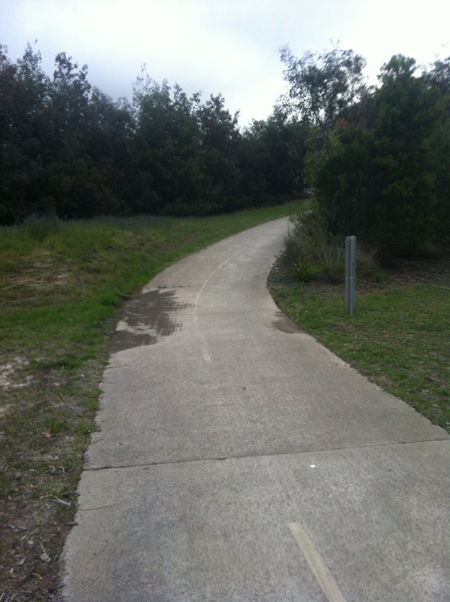
Notes: Heading east on McKinnon Pde at Bundeys Rd the bike lane is continuous, marked in green. Still, cars wanting to continue east on McKinnon Pde will not give way.
Address: McKinnon Pde/Bundeys Rd
Map: http://maps.google.com/maps?q=-34.908508,138.609909
Coordinates: -34.908508,138.609909
Photo:

Notes: (null)
Address: Lockyer Avenue
Map: http://maps.google.com/maps?q=-35.015415,117.885117
Coordinates: -35.015415,117.885117
Photo:
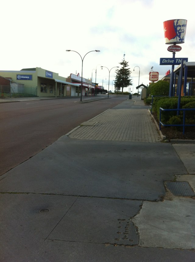
Notes: Cars always block intersection even though they have a red light. This creates danger for cyclists who have green light
Address: Canning and princes st
Map: http://maps.google.com/maps?q=-37.792801,144.973816
Coordinates: -37.792801,144.973816
Photo:
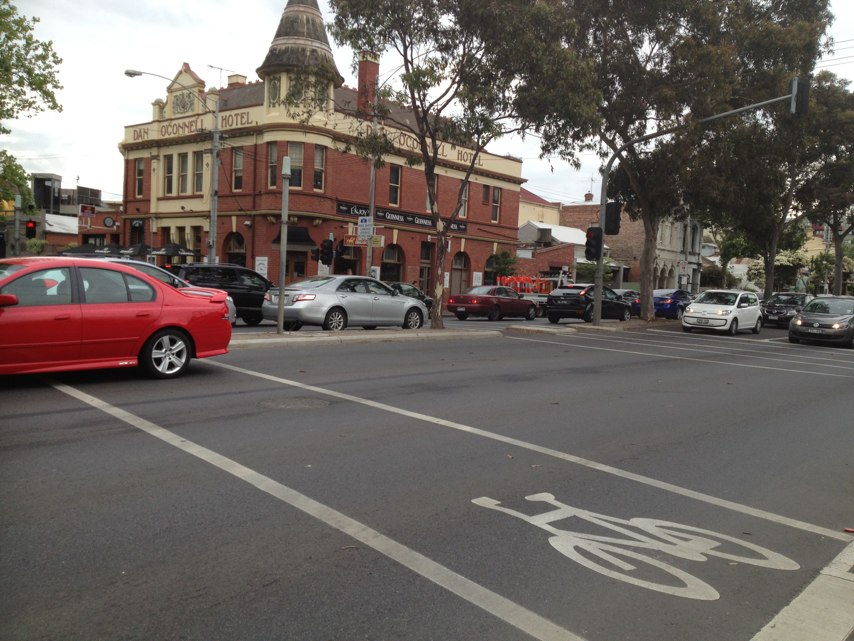
Notes: (null)
Address: 254 Mill Point Road
Map: http://maps.google.com/maps?q=-31.977536,115.868341
Coordinates: -31.977536,115.868341
Photo:
Notes: Dangerous part on path
Address: Citylink Tollway
Map: http://maps.google.com/maps?q=-37.797447,144.935951
Coordinates: -37.797447,144.935951
Photo:

Notes: Missing link! No cycling facility on Welshpool Rd East at bridge over freight railway, just east of Roe Hwy, in Wattle Grove To the west, there are both bike lanes and a shared path but both stop abruptly before the bridge. The good news is there is room on the bridge for a shared path - the expensive infrastructure has already been provided - all that is needed are short connections to existing bike routes either side.
Address: 400 Hale Rd
Map: http://maps.google.com/maps?q=-32.004108,115.979561
Coordinates: -32.004108,115.979561
Photo:
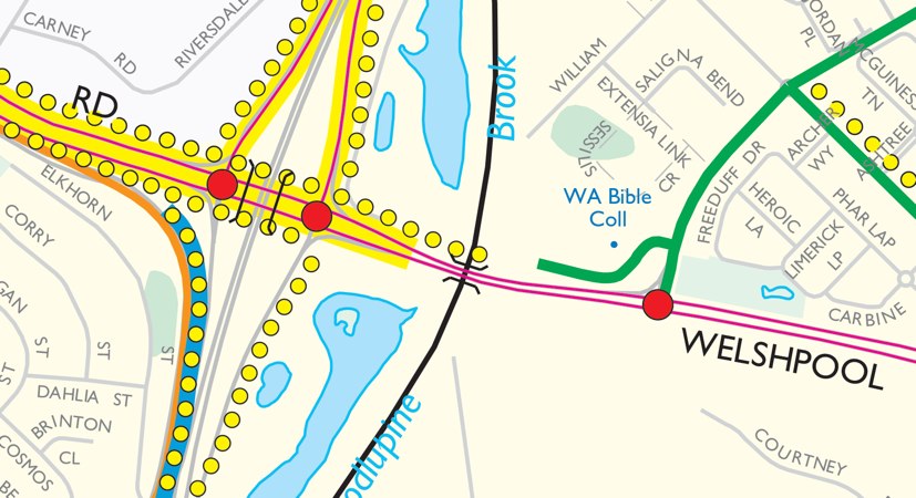
Notes: Cycling to school with my 9 year old boy is very dangerous here as we have to guess when to cross. There is a panic when crossing. No other lights to cross at nearby. Needs a pedestrian walk light installed.
Address: George Street
Map: http://maps.google.com/maps?q=-31.988716,115.881179
Coordinates: -31.988716,115.881179
Photo:
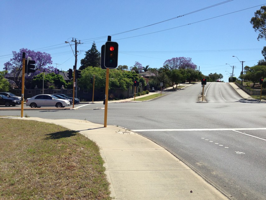
Notes: (null)
Address: 426 Kooyong Rd
Map: http://maps.google.com/maps?q=-37.893497,145.013602
Coordinates: -37.893497,145.013602
Photo:
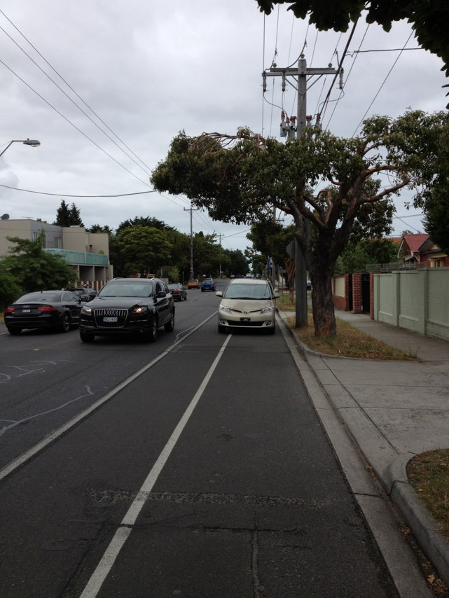
Notes: Been here for two or more weeks. This is a disgrace
Address: Bambra Rd
Map: http://maps.google.com/maps?q=-37.894140,145.027487
Coordinates: -37.894140,145.027487
Photo:
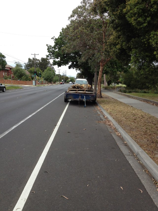
Notes: Impossible to cross this road safely. Also app crashes trying to take photo.
Address: 34 Challis Street
Map: http://maps.google.com/maps?q=-35.248647,149.135721
Coordinates: -35.248647,149.135721
Photo:

Notes: Car blocking both bike and foot paths. Register number: 1CEG 718
Address: 19B Forrest Road
Map: http://maps.google.com/maps?q=-32.082587,115.775130
Coordinates: -32.082587,115.775130
Photo:
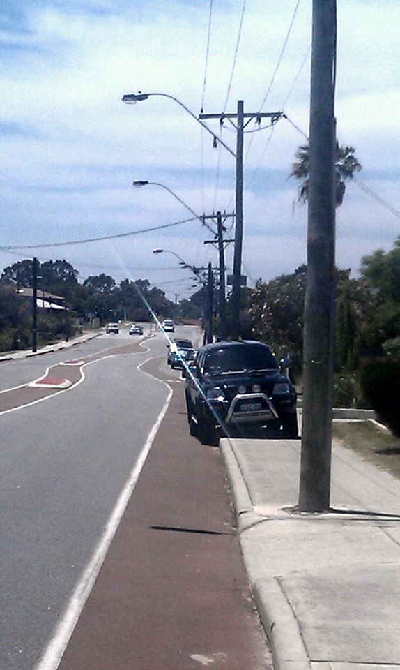
Notes: Bike paths cross Unley rd at Culvert st and Charles place, need to make crossing easier with pedestrian island or similar
Address: Culvert St
Map: http://maps.google.com/maps?q=-34.947148,138.607234
Coordinates: -34.947148,138.607234
Photo:

Notes: No pedestrian crossing sign so my 9 Year old son can never be 100% sure when to cross the road. Cars come from behind turning in towards my son when he crosses the road.
Address: Boundary Road
Map: http://maps.google.com/maps?q=-32.003320,115.902561
Coordinates: -32.003320,115.902561
Photo:
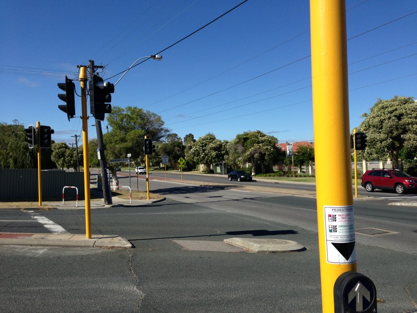
Notes: The cross walk sign can not clearly be seen. The crossing sound is barely audible. Cars turn left through a red arrow because the arrow is not clear enough to then. I would estimate 1 out of 10 vehicles turning through a red arrow is conservative.
Address: 132 Hill View Terrace
Map: http://maps.google.com/maps?q=-32.003413,115.902296
Coordinates: -32.003413,115.902296
Photo:
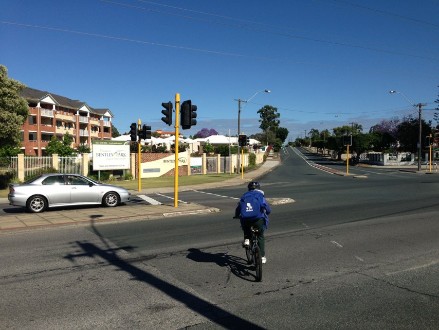
Notes: STOP sign needed as motorists never look or give way to cyclists, accident waiting to happen.
Address: 3953 Bateman Road
Map: http://maps.google.com/maps?q=-37.795868,144.917652
Coordinates: -37.795868,144.917652
Photo:
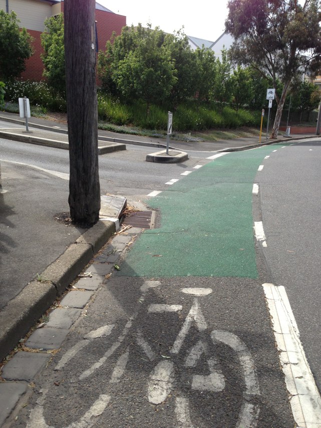
Notes: Gap in Principal Shared Path at Bayswater train station. Path from Perth terminates at west end of station car park. When path was extended further towards Midland in March 2009, new path was commenced just east of station car park. Path users must travel 220 m on the road, or ride through the station car park. The latter is only legal westbound as car park is signed for 1-way traffic flow.
Address: 81 Whatley Crescent
Map: http://maps.google.com/maps?q=-31.918886,115.913055
Coordinates: -31.918886,115.913055
Photo:

Notes: My daughter was knocked off her bike at this traffic treatment by a car travelling in the same direction. This is poorly designed as there is no way for cyclists to avoid being squeezed into the path of cars
Address: 20 Albion Rd
Map: http://maps.google.com/maps?q=-37.863197,145.065491
Coordinates: -37.863197,145.065491
Photo:
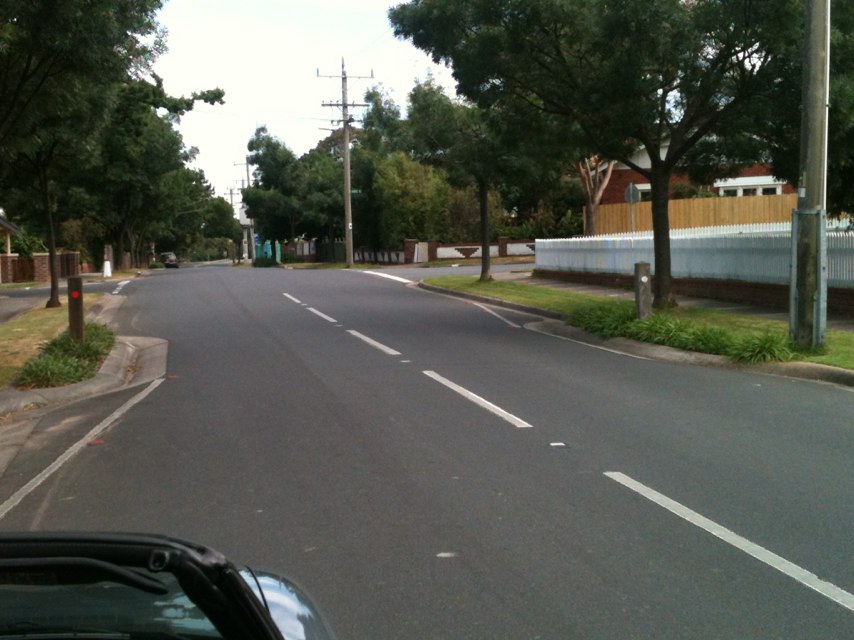
Notes: Fence on left-hand side / river side of path juts out into bike path.
Address: Yarra Trail under Eastern Freeway
Map: http://maps.google.com/maps?q=-37.794932,145.001413
Coordinates: -37.794932,145.001413
Photo:
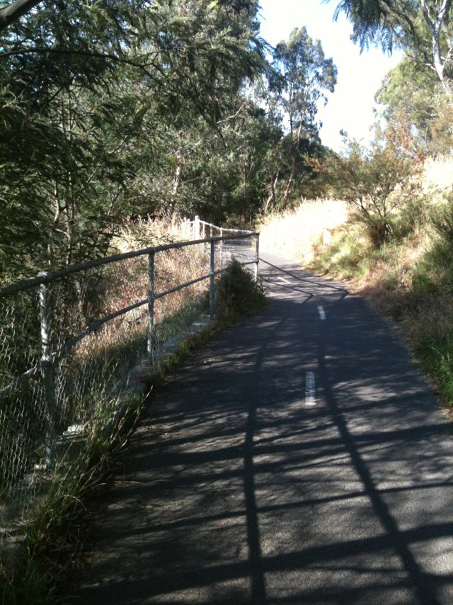
Notes: (null)
Address: 61 Church St
Map: http://maps.google.com/maps?q=-38.131981,144.345596
Coordinates: -38.131981,144.345596
Photo:
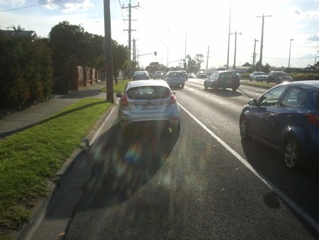
Notes: Broken glass on bike lane on Mt Alexander Rd inbound, right next to CityLink onramp. Has been there for at least a week.
Address: Mt Alexanda Rd
Map: http://maps.google.com/maps?q=-37.785118,144.938446
Coordinates: -37.785118,144.938446
Photo:

Notes: A brand new housing estate and we still get a bike lane in the door zone.
Address: Bobstay Brace
Map: http://maps.google.com/maps?q=-31.599928,115.684138
Coordinates: -31.599928,115.684138
Photo:
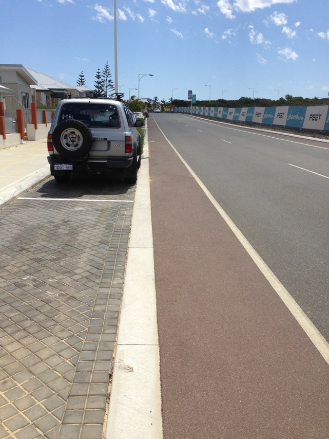
Notes: (null)
Address: St Georges Rd
Map: http://maps.google.com/maps?q=-37.783577,144.983749
Coordinates: -37.783577,144.983749
Photo:

Notes: Riding in the bike lane in St Kilda Road is terrifying. The bike lane just disappears at several places, particularly at tricky intersections. Almost every time I ride along there, I am nearly doored by inattentive drivers. The solution is to make the left hand car lane an exclusive bike lane, with chevrons along both sides to prevent cyclists riding in the door zone and be protected from traffic on the right. Bikes need a priority signal at all intersections along St. Kilda Road. Further, Princes Bridge is a danger spot for cyclists, and pedestrians, and should be closed to all traffic except taxis, commercial vehicles and emergency vehicles, (and trams of course).
Address: St Kilda Rd
Map: http://maps.google.com/maps?q=-37.854595,144.982040
Coordinates: -37.854595,144.982040
Photo:

Notes: (null)
Address: Station St
Map: http://maps.google.com/maps?q=-37.771721,145.019363
Coordinates: -37.771721,145.019363
Photo:

Notes: High Street needs clearway bike lanes. It is Stonnington second most popular on-road route. If it can be done on Sydney Rd it can be done on High Street.
Address: 612 High Street
Map: http://maps.google.com/maps?q=-37.853954,145.008331
Coordinates: -37.853954,145.008331
Photo:
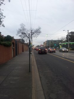
Notes: Bollards that a bike can only just fit through. Should be replaced by a landscaped path.
Address: 35 Irving Avenue
Map: http://maps.google.com/maps?q=-37.856781,145.007248
Coordinates: -37.856781,145.007248
Photo:
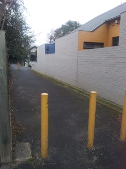
Notes: During road resurfacing currently in progress, low profile kerbing adjacent to narrow bike lanes has been replaced with normal kerb. When road was narrowed and median islands installed circa 1991, low profile kerbing was deliberately chosen to partially compensate for sub-standard bike lanes, at request of Bikewest and cycling representatives, as low profile kerb provides greater pedal clearance and increases the effective width of the bike lane by allowing a cyclist to ride close to the kerb if necessary. Ideally, the road resurfacing should have included widening of the bike lanes to comply with Australian Standards, but it would appear that this opportunity has been lost. Yet another example of Town of Claremont ignoring its own policies to improve provision for cycling on local roads. PS Road is part of a designated PBN bicycle route and also part of the popular "Round the River" bike route.
Address: 50 Victoria Avenue
Map: http://maps.google.com/maps?q=-31.989532,115.785271
Coordinates: -31.989532,115.785271
Photo:

Notes: Bike lanes between Brunswick St and Merri Ck have parked cars in them apart from clearway hours (2hrs per day only). Section northbound from Holden St to Merri Ck is very dangerous, lots of right turning vehicles cross bike lane to rat run into the city and fail to look out for bikes.
Address: St Georges Rd
Map: http://maps.google.com/maps?q=-37.784519,144.982788
Coordinates: -37.784519,144.982788
Photo:

Notes: Council have built a new tram super stop, but for the whole length of the footpath outside Melbourne Central, from Little Lonsdale Street to La Trobe Street, there is not one bike hoop to park a bike on. Bit of an oversight!
Address: 328 Swanston Street
Map: http://maps.google.com/maps?q=-37.809987,144.964042
Coordinates: -37.809987,144.964042
Photo:

Notes: The road goes over a bridge over the Yarrowee Creek.On the east facing lane (the north side of the road), at the bridge the road suddenly narrows and a raised footpath suudenly takes up the side of the road. If an unwary cyclist is not travelling in the centre of the car lane when approaching the bridge he or she is suddenly confronted with the choice between a raised curb or the cars to his right trying to pass on the narrow bridge. An accident waiting to happen.
Address: Grant St
Map: http://maps.google.com/maps?q=-37.569752,143.862747
Coordinates: -37.569752,143.862747
Photo:

Notes: Narrow footpath on Causeway - uneven slabs - major bike accident 19 Oct 2012 - one cyclist spent many days in Hospital
Address: Causeway
Map: http://maps.google.com/maps?q=-31.967599,115.886900
Coordinates: -31.967599,115.886900
Photo:

Notes: Tree fallen across entire path
Address: 0 Footpath near rugby field
Map: http://maps.google.com/maps?q=31.319016,-86.399872
Coordinates: 31.319016,-86.399872
Photo:

?AWSAccessKeyId=AKIAJSDNDLQQYBGAOQFQ)
Notes: No bike lanes on Cemetery Road, Parkville. This is a fairly wide road and ideal for a bike lane, especially as a key route between Royal Parade and Fitzroy/Carlton North. Often get abused by motorists while riding on ride.
Address: Cemetery Road
Map: http://maps.google.com/maps?q=-37.790855,144.959824
Coordinates: -37.790855,144.959824
Photo:

Notes: Tree roots have lifted road surface creating a hazard for cyclists.
Address: 333 High St
Map: http://maps.google.com/maps?q=-37.852646,144.999222
Coordinates: -37.852646,144.999222
Photo:
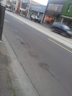
Notes: The bike track between Drysdale and Queenscliff needs attention after the recent rain...washouts and ponding...as well the bike path between Pt Lonsdale and Queenscliff is in very bad order....the cyprus trees....DO NOT WANT THEM CUT DOWN....root system has made the path a series of corrugations...on the long weekend I saw a young fellow with bloodied knees.... We LOVE these off road tracks...need more In general the Portarlington Rd between Queenscliff Highway and Portarlington is a nightmare for bikeriders (that is if you dare to go there)!!
Address: The Narrows
Map: http://maps.google.com/maps?q=-38.267445,144.661453
Coordinates: -38.267445,144.661453
Photo:

Notes: Shared user path linking Governors drive and great western highway on lapstone hill westbound.
Address: Governors Dr / great western highway
Map: http://maps.google.com/maps?q=-33.761143,150.640579
Coordinates: -33.761143,150.640579
Photo:

Notes: The crossroads to the immediate N of Fairfield station urgently requires traffic lights to help bikes (and cars) cross a very busy street with few traffic gaps.
Address: Station St
Map: http://maps.google.com/maps?q=-37.771721,145.019363
Coordinates: -37.771721,145.019363
Photo:

Notes: Going East the bike lane disappears at Gillies St. You have a choice of illegally riding on the footpath, or mixing it with two lanes of traffic. Good luck.
Address: Heidelberg Rd
Map: http://maps.google.com/maps?q=-37.784245,145.012634
Coordinates: -37.784245,145.012634
Photo:

Notes: Pot holes and uneven surfaces in the clearway bikepath are too dangerous to ride through, and swerving around them puts riders dangerously close to traffic.
Address: Sydney Road
Map: http://maps.google.com/maps?q=-37.766781,144.962173
Coordinates: -37.766781,144.962173
Photo:

Notes: Parts (saddle, wheels) get stolen off bikes on a weekly basis when left (locked up) outside. So annoying we got rid of our bikes :-(
Address: Abbotsford St
Map: http://maps.google.com/maps?q=-37.799137,144.946075
Coordinates: -37.799137,144.946075
Photo:

Notes: The Federation Trail in the West of Melbourne is fantastic. However, it is so dangerous riding to and from it in Laverton. Please get this fixed and make room for bicycles along this busy road. A shoulder for bicycles to be in along the road would be wonderful!
Address: Sayers Road
Map: http://maps.google.com/maps?q=-37.854630,144.753799
Coordinates: -37.854630,144.753799
Photo:

Notes: Exiting the Peel Street / Dudley Street roundabout and heading southbound on Franklin Street, there is a bike path which delivers cyclists directly into a stream of left-turning motor vehicles, particularly during the morning. These drivers are presumably heading for a carpark or towards the Franklin Street / Queen Street roundabout. Drivers here rarely notice cyclists - I have nearly been sideswiped on several occasions - but they are not solely to blame. More obvious signage or barriers separating the bike lane is one possible change that could be made. Another would be a left-turning lane only, with a bike lane to the right-hand side of this.
Address: Cnr Peel St and Franklin St
Map: http://maps.google.com/maps?q=-37.809097,144.955521
Coordinates: -37.809097,144.955521
Photo:

Notes: Was riding in the cycling lane, heading east when a car coming from the opposite direction turning right into the service lane hit me. This spot is particularly bad during morning peak hour (about 8am till 9), when banked up cars heading east block the view of the cars turning right. I no longer ride this way after my accident and a series of previous, very near misses. Some signage and perhaps some of that green road paint for cycling lanes over the entrance to the service lane would be fantastic!
Address: Park Street
Map: http://maps.google.com/maps?q=-37.777828,144.958633
Coordinates: -37.777828,144.958633
Photo:

Notes: Lane disappears as you cross the bridge - simplest solution would be to turn footpath into shared zone.
Address: Bridge Rd
Map: http://maps.google.com/maps?q=-37.818832,145.002319
Coordinates: -37.818832,145.002319
Photo:

Notes: bbig hole
Address: 12A Blackwall Reach Parade
Map: http://maps.google.com/maps?q=-32.022068,115.782422
Coordinates: -32.022068,115.782422
Photo:
Notes: No alternate route from penrith to blue mountains.
Address: Great Western Hwy
Map: http://maps.google.com/maps?q=-33.767610,150.639902
Coordinates: -33.767610,150.639902
Photo:

Notes: Shared user path linking governors drive and great western highway westbound on lapstone hill.
Address: Great Western Hwy
Map: http://maps.google.com/maps?q=-33.766417,150.640162
Coordinates: -33.766417,150.640162
Photo:

Notes: Westbound on the great western highway lapstone (lapstone hill). This is the only real route from penrith to the blue mountains.
Address: Great Western Hwy
Map: http://maps.google.com/maps?q=-33.767953,150.639418
Coordinates: -33.767953,150.639418
Photo:
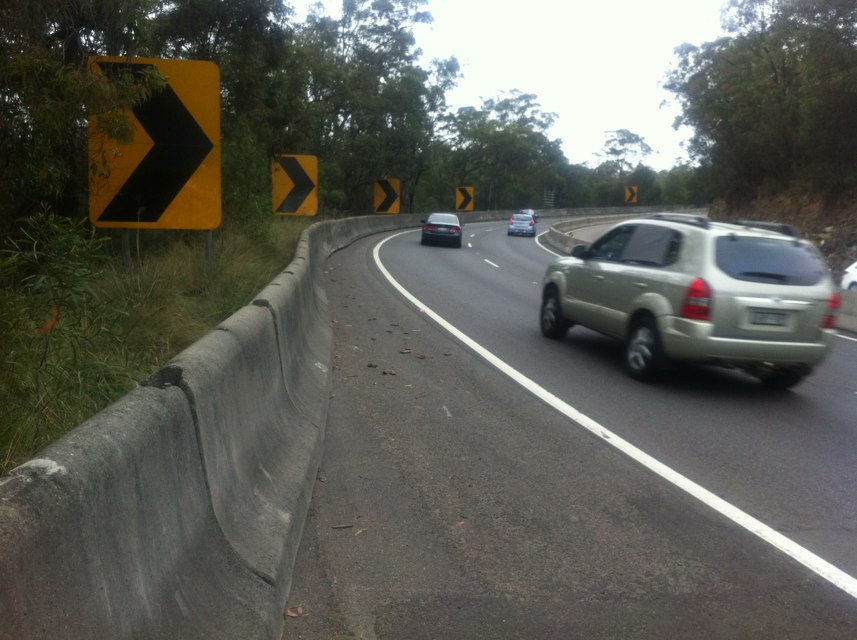
Notes: Very dangerous squeeze point on Great Western Highway at Glenbrook
Address: Great Western Hwy
Map: http://maps.google.com/maps?q=-33.763281,150.631583
Coordinates: -33.763281,150.631583
Photo:
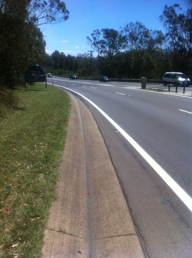
Notes: Dunsborough to Yalingup would be a short bike ride but the road is narrow, speed is high, lots of motorised traffic. Please provide a cycle path.
Address: Caves Road
Map: http://maps.google.com/maps?q=-33.638349,115.056130
Coordinates: -33.638349,115.056130
Photo:
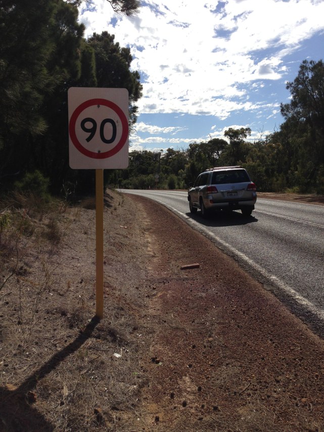
Notes: Bike lane dissappears approaching cnr glenlyon and lygon, car parked and petrol station car entry/exit to negotiate as well as left turners, no safe position for bikes at lights if heading east along glenlyon
Address: 131 Glenlyon Rd
Map: http://maps.google.com/maps?q=-37.772353,144.969885
Coordinates: -37.772353,144.969885
Photo:
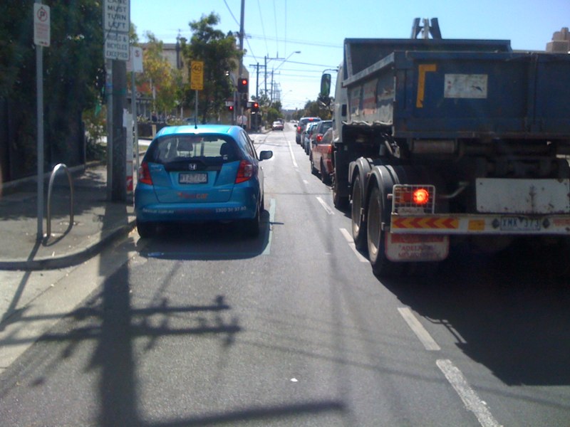
Notes: Path too narrow for bike, wheelchairs etc
Address: Zillmere Road
Map: http://maps.google.com/maps?q=-27.356359,153.016613
Coordinates: -27.356359,153.016613
Photo:
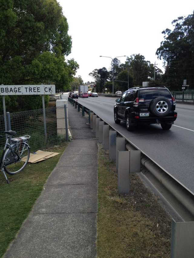
Notes: Used to be a nice path around these steps, until Parks Victoria took it away years ago without any consultation.
Address: Chandler Hwy
Map: http://maps.google.com/maps?q=-37.787557,145.025034
Coordinates: -37.787557,145.025034
Photo:
Notes: Bicycle route signs missing from route NE27 where it crosses Guildford Rd at First Ave. Clear signage is needed because First Ave is one-way and northbound route follows Second Ave. Signs went missing from corner of Guildford Rd and Second Ave around 2002 and this was reported to Bikewest at that time, but signs were never replaced. Other signs have gone missing since. Also, route should be revised/extended to link up with foreshore path. Previous "Round the River" bike route did run alongside Guildford Road for a short distance and did connect with NE27 at Thirlmere Rd.
Address: 90 Guildford Rd
Map: http://maps.google.com/maps?q=-31.935364,115.885811
Coordinates: -31.935364,115.885811
Photo:

Notes: (null)
Address: 18 Primrose Avenue
Map: http://maps.google.com/maps?q=-33.997707,151.140999
Coordinates: -33.997707,151.140999
Photo:

Notes: Canterbury and Mitcham rds Vermont. Highly dangerous pinch pint between double lines and kerb when heading north. This is a death trap!
Address: 678 Mitcham Rd
Map: http://maps.google.com/maps?q=-37.835340,145.195123
Coordinates: -37.835340,145.195123
Photo:
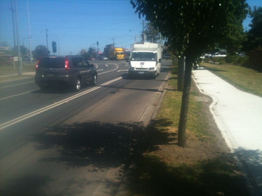
Notes: Confusing split bike / pedestrian lanes near convention centre - could the bike lane be painted and have line marking in middle? Both pedestrians and cyclists frequently in wrong lane - potential for serious collisions
Address: Dukes Walk
Map: http://maps.google.com/maps?q=-37.824447,144.952884
Coordinates: -37.824447,144.952884
Photo:

Notes: Broken tiles in middle of south side crossing need replacing - have seen two pedestrians stumble and a few cyclists almost lose control.
Address: Pearl River Rd
Map: http://maps.google.com/maps?q=-37.809970,144.936039
Coordinates: -37.809970,144.936039
Photo:

Notes: No shoulder for cyclists and multiple pot holes and uneven gravel on side of road.
Address: 675 Victoria Street
Map: http://maps.google.com/maps?q=-37.811683,145.013180
Coordinates: -37.811683,145.013180
Photo:

Notes: (null)
Address: 182A Labouchere Road
Map: http://maps.google.com/maps?q=-31.994307,115.859701
Coordinates: -31.994307,115.859701
Photo:
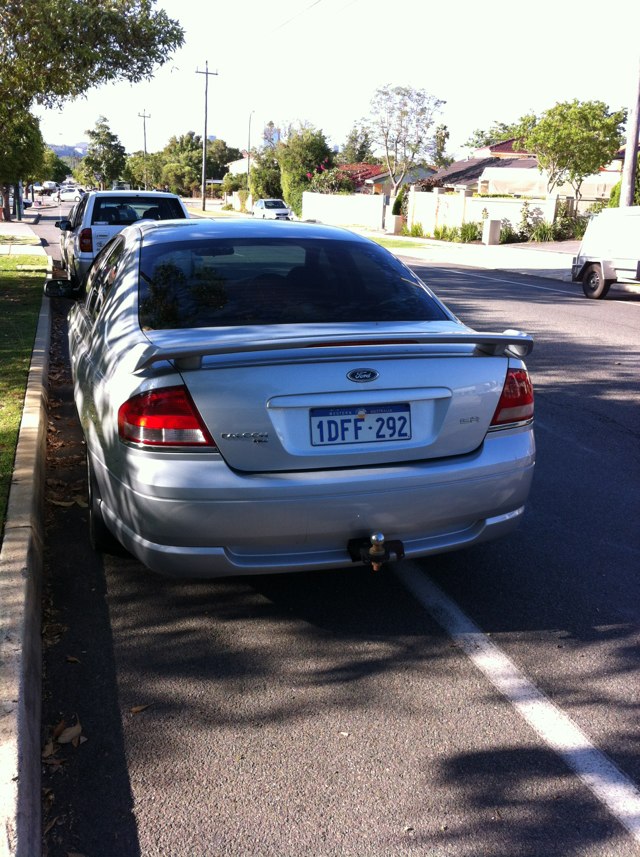
Notes: (null)
Address: 185 Labouchere Road
Map: http://maps.google.com/maps?q=-31.994496,115.859879
Coordinates: -31.994496,115.859879
Photo:
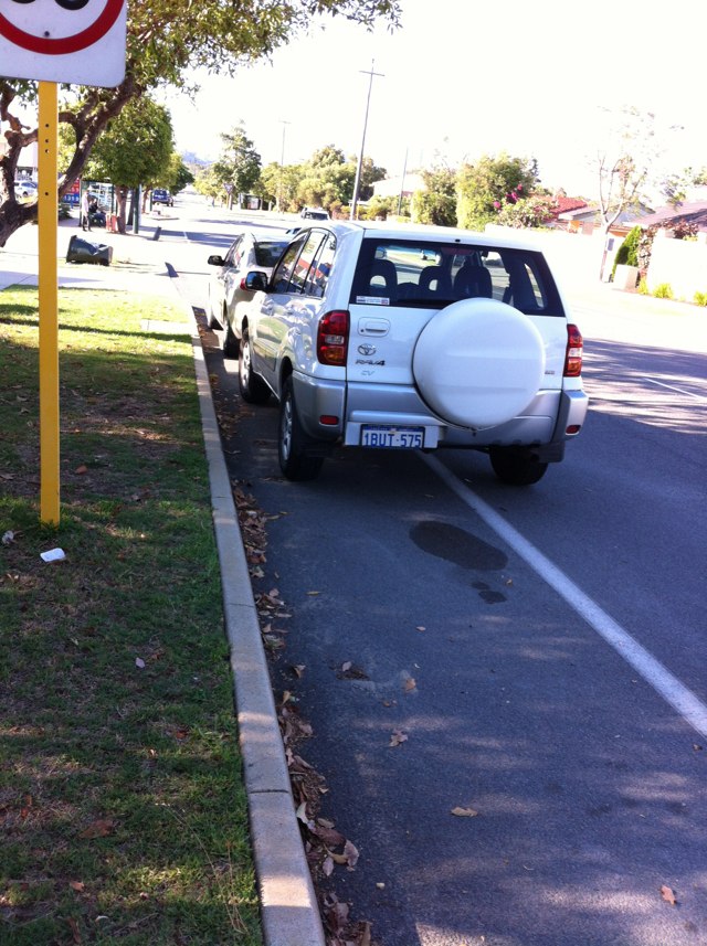
Notes: (null)
Address: James Craig Road
Map: http://maps.google.com/maps?q=-33.868212,151.179787
Coordinates: -33.868212,151.179787
Photo:
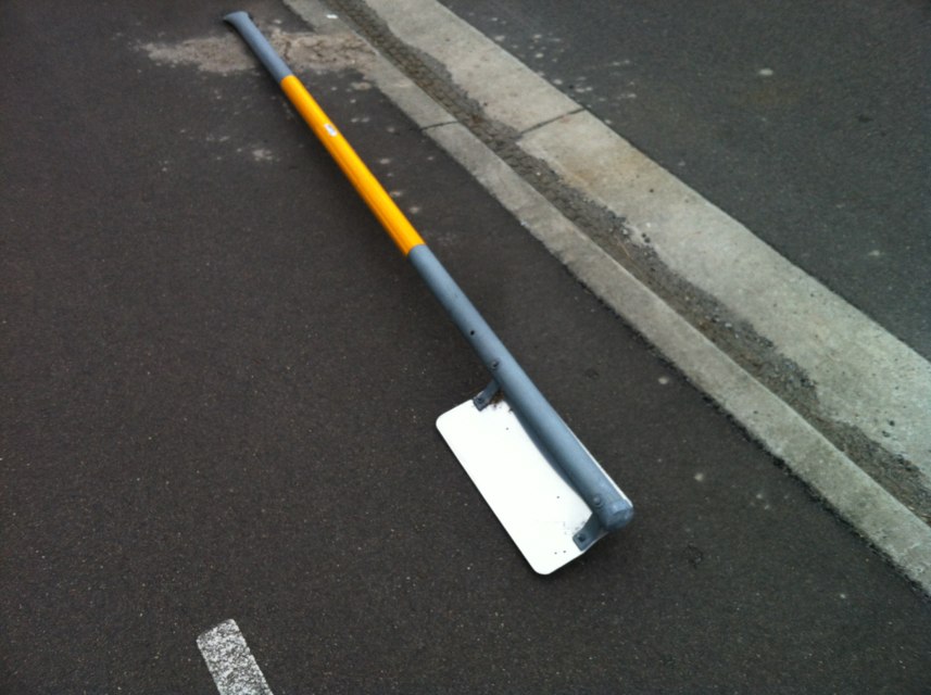
Notes: This area of bike path is before a traffic calming device and is signed as no standing to provide access for bikes. Parking here forces bikes out on to the road. A number of vehicles have parked here over the last month or longer.
Address: 154A Thelma Street
Map: http://maps.google.com/maps?q=-31.996332,115.876534
Coordinates: -31.996332,115.876534
Photo:
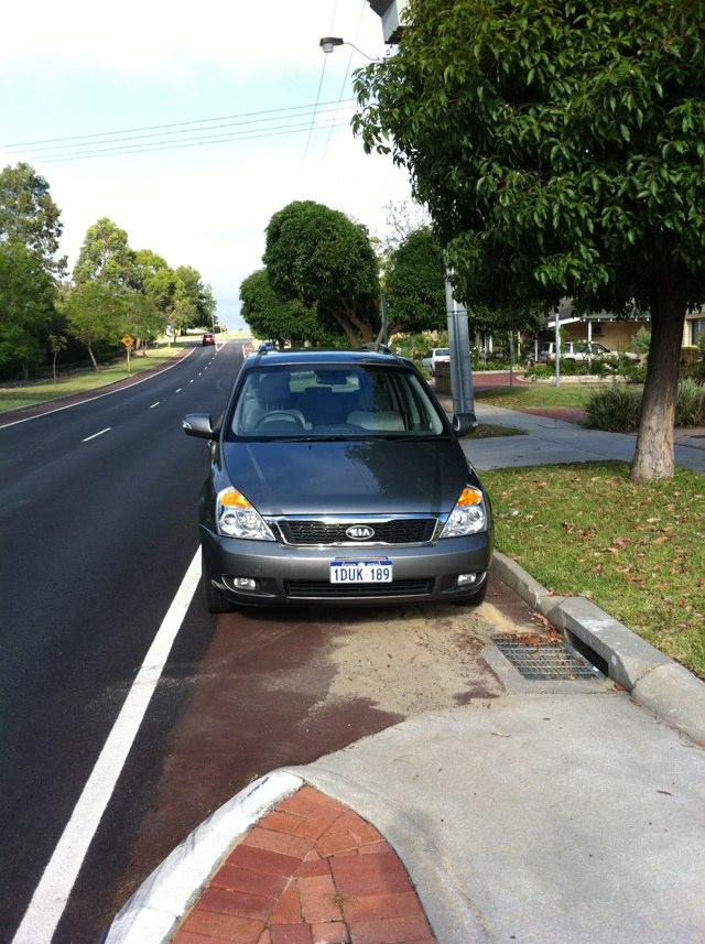
Notes: Potholes and general rough surface. Enough to dismount a cyclist, or at least damage bikes, injure wrists.
Address: 259 Victoria Street
Map: http://maps.google.com/maps?q=-37.766929,144.963489
Coordinates: -37.766929,144.963489
Photo:

Notes: Narrow roadway at subway under railway line. Most motorists do not make any allowances for cyclists and overtake regardless of oncoming traffic. This would be a good location to install "Share the Road" signs to encourage better behaviour. It would not be cost effective to enlarge the subway: the actual bridge was rebuilt only 1-2 years ago, but the subway was not made any wider - shame, a missed opportunity. More cyclists will be likely to use Stirling Rd to gain access to the PSP along railway due to closure of the designated bicycle route along Bay View Tce, so some improvement would be beneficial. The proposal to install a roundabout at intersection of Stirling Rd and St Quentin Ave should be opposed and NOT receive Govt funding as it would make the route less bicycle friendly. It is vital to preserve and improve this route for cyclists as there are no other real options for cyclists to get from south side of Stirling Hwy to the PSP.
Address: 21 Stirling Rd
Map: http://maps.google.com/maps?q=-31.981197,115.777283
Coordinates: -31.981197,115.777283
Photo:

Notes: Poor bollard placement at bottom of blind crest.
Address: Easty St
Map: http://maps.google.com/maps?q=-35.342916,149.090135
Coordinates: -35.342916,149.090135
Photo:
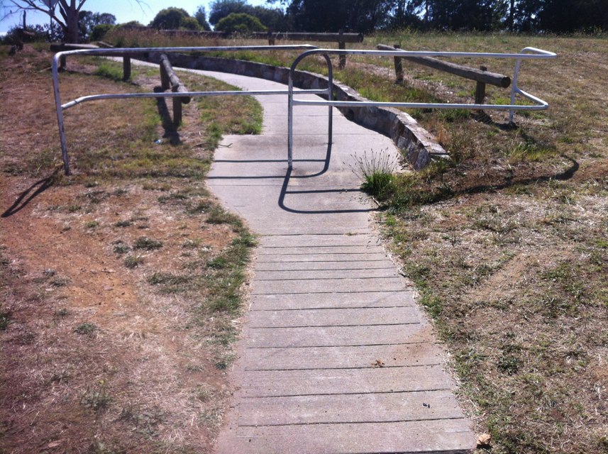
Notes: City of Greater Shepparton "bike path". Sprayed tar over broken pavement and grass.
Address: 130 Ferguson Road
Map: http://maps.google.com/maps?q=-36.439824,145.256488
Coordinates: -36.439824,145.256488
Photo:
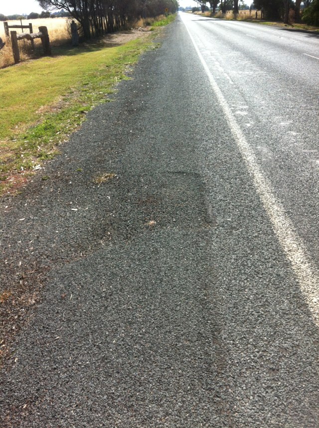
Notes: Previously reported as a bad area, now vehicle lanes realigned and bike lane allocated. Still a little lumpy and debris at times, but oh so much better than before. Thanks.
Address: Main North Road
Map: http://maps.google.com/maps?q=-34.804270,138.636014
Coordinates: -34.804270,138.636014
Photo:

Notes: City of Greater Shepparton "bike path". Sprayed tar over broken pavement and grass.
Address: 110 Ferguson Road
Map: http://maps.google.com/maps?q=-36.439911,145.252626
Coordinates: -36.439911,145.252626
Photo:
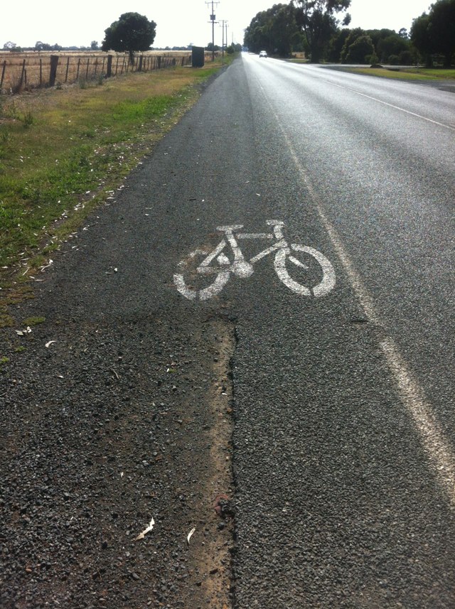
Notes: City of Greater Shepparton "bike path". Sprayed tar over broken pavement and grass.
Address: 130 Ferguson Road
Map: http://maps.google.com/maps?q=-36.439823,145.256680
Coordinates: -36.439823,145.256680
Photo:
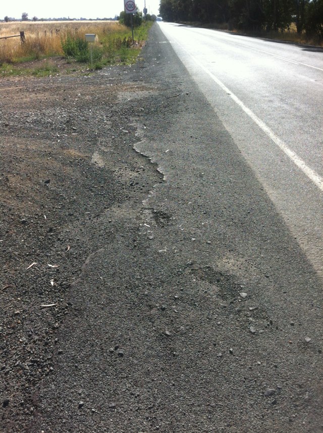
Notes: City of Greater Shepparton "bike path". Sprayed tar over broken pavement and grass.
Address: 130 Ferguson Road
Map: http://maps.google.com/maps?q=-36.439859,145.254643
Coordinates: -36.439859,145.254643
Photo:
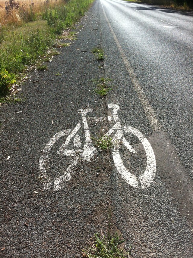
Notes: Loose drainage grates - Hodges Dr underpass
Address: Ocean Reef Rd
Map: http://maps.google.com/maps?q=-31.774676,115.780986
Coordinates: -31.774676,115.780986
Photo:

Notes: Very rough surface at kerb ramp on south side of Riverside Dr, opposite Victoria Ave. This is one of the major entry/exit point to Perth City for cyclists. Cyclists need to be able to focus on other road users at such a busy intersection and not have to avoid lumps and bumps due to chronic lack of maintenance by City of Perth. Due to poor condition and crucial location, ramp should be rebuilt to current standards with respect to width, etc.
Address: LOT 478 Riverside Dr
Map: http://maps.google.com/maps?q=-31.959484,115.862907
Coordinates: -31.959484,115.862907
Photo:
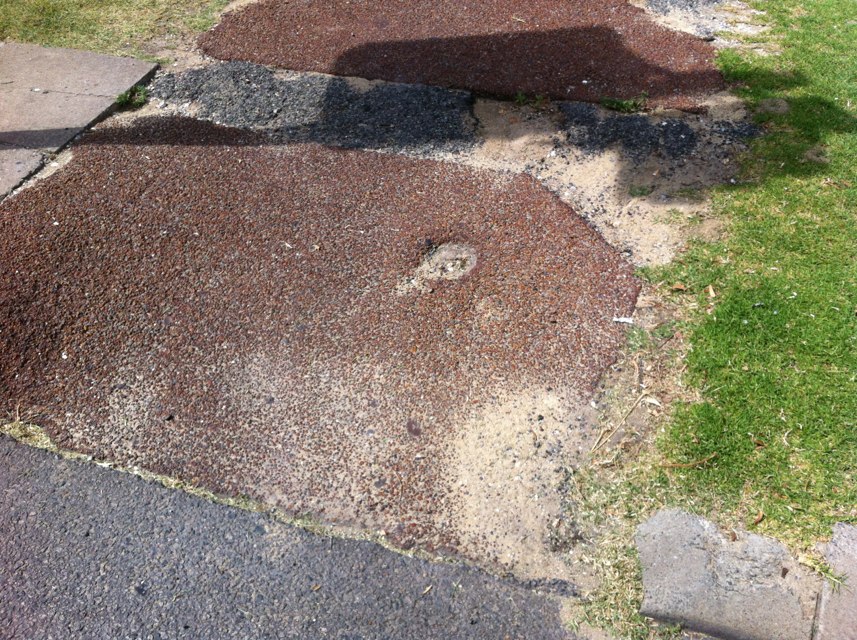
Notes: Damaged barrier
Address: Cockburn Road
Map: http://maps.google.com/maps?q=-32.179535,115.775643
Coordinates: -32.179535,115.775643
Photo:
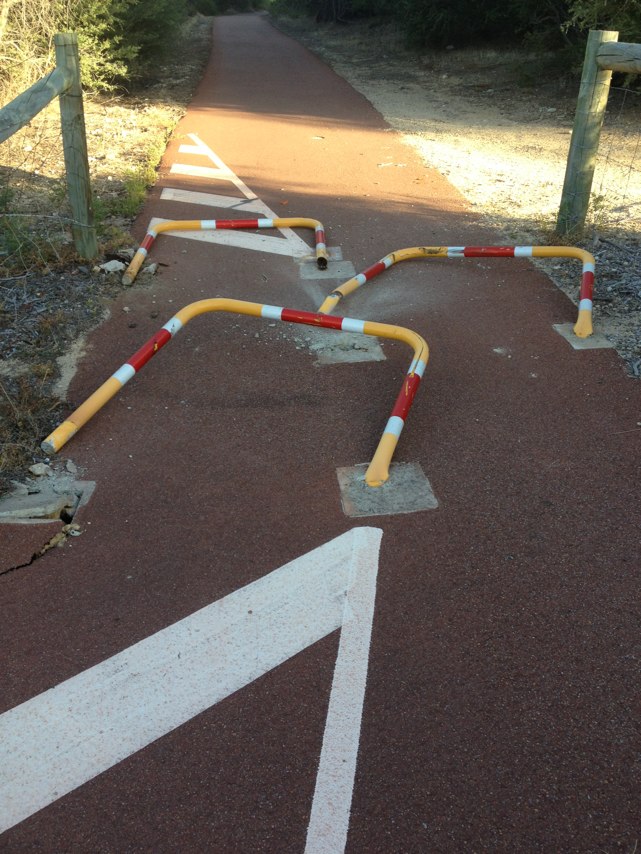
Notes: Damaged barrier
Address: Cockburn Road
Map: http://maps.google.com/maps?q=-32.152302,115.779388
Coordinates: -32.152302,115.779388
Photo:
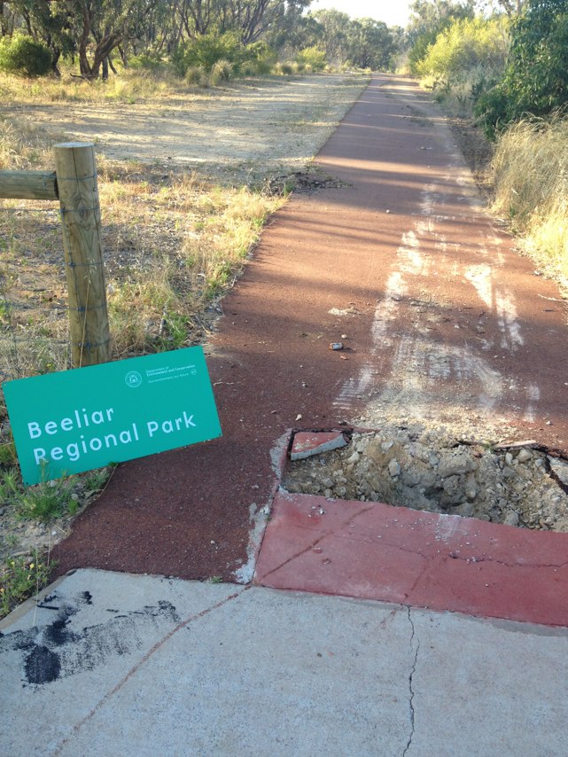
Notes: Damaged barrier
Address: Cockburn Road
Map: http://maps.google.com/maps?q=-32.155665,115.779153
Coordinates: -32.155665,115.779153
Photo:

Notes: Damaged barrier
Address: Cockburn Road
Map: http://maps.google.com/maps?q=-32.155665,115.779153
Coordinates: -32.155665,115.779153
Photo:
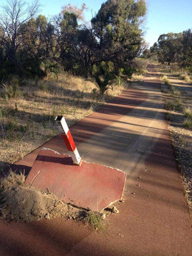
Notes: Someone has had a bright idea to slow cycles on path on southern side of railway line by City West station. Idea good. Implementation awful. 30-40% of cycles heading west go the wrong way around the island. This avoids a dangerous overly sharp reverse banked corner but is clearly not what is intended. Nearly 50% of cycles heading east can negotiate the obstacle without slowing - but in doing so will need to concentrate on the obstacle which defeats the whole purpose of trying to slow them down to look for pedestrians. Pedestrians are a total menace and are less predictable going every which way around through and over the islands. It is a complete waste of money and needs to be rethought. (The design at the western end of the station is much better and safer for both cyclists and pedestrians - but this end of the station was never really the problem).
Address: 4 Delhi Street
Map: http://maps.google.com/maps?q=-31.945110,115.845703
Coordinates: -31.945110,115.845703
Photo:

Notes: Bit of a squeeze when cars are parked there
Address: 328348 Spencer Street
Map: http://maps.google.com/maps?q=-37.812722,144.951188
Coordinates: -37.812722,144.951188
Photo:
Notes: Trees overhanging shared path adjacent to Nedlands Yacht Club have been poorly trimmed, leaving sharp, cut branches at head height for a moderately tall person (approx 1.8 m). Dangerous for both walkers and cyclists using path. Trees should be trimmed so clearance above path is in accordance with Australian Standards, e.g. Austroads Part 14 requires 2.4 m clearance. Maintenance staff should be advised of required clearance to ensure ongoing maintenance is carried out correctly.
Address: Edward Bruce Foreshore Path
Map: http://maps.google.com/maps?q=-31.994574,115.812249
Coordinates: -31.994574,115.812249
Photo:
Notes: Westbound on lapstone hill SUP.
Address: Great Western Hwy
Map: http://maps.google.com/maps?q=-33.762839,150.640086
Coordinates: -33.762839,150.640086
Photo:
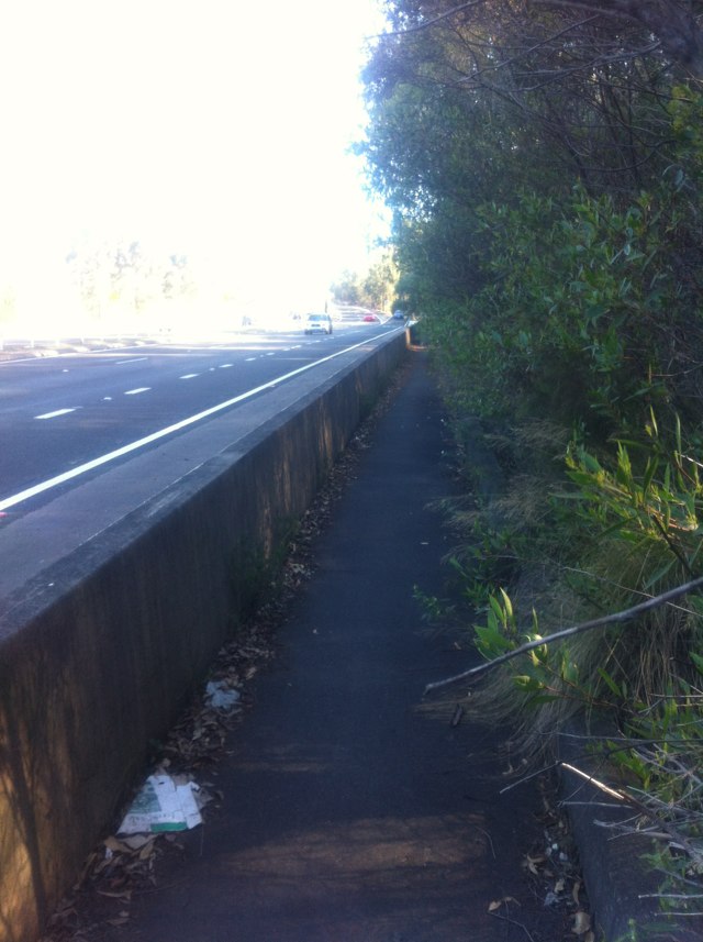
Notes: I nearly got hit today by a car that went through the red light for the Capital City Bike Trail while travelling southwards along Lygon St. Something needs to be done about that intersection before someone gets killed. That length of Lygon St needs to have a 40km/h speed limit or less.
Address: 812 Nicholson Street
Map: http://maps.google.com/maps?q=-37.780005,144.978211
Coordinates: -37.780005,144.978211
Photo:

Notes: Deep shoulder caused fall
Address: 171 Riverside Drive
Map: http://maps.google.com/maps?q=-31.960377,115.862710
Coordinates: -31.960377,115.862710
Photo:

Notes: (null)
Address: 20 Victoria Road
Map: http://maps.google.com/maps?q=-33.868193,151.178250
Coordinates: -33.868193,151.178250
Photo:
Notes: Post dangerously in the middle of path
Address: Almond St
Map: http://maps.google.com/maps?q=-34.947698,138.593614
Coordinates: -34.947698,138.593614
Photo:
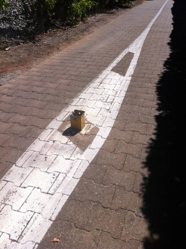
Notes: At the Perth train station - this poor girl had to carry her bike up the stairs. we need rails that you can push your bike up - in europe thy have thin rails built on to the stairs just the width of a tyre that you can pop your bike into and push it up, you still need to push it manually but at least you dont have to carry it. hardly takes any extra room and very small cost.
Address: 378 Wellington St
Map: http://maps.google.com/maps?q=-31.951889,115.861008
Coordinates: -31.951889,115.861008
Photo:
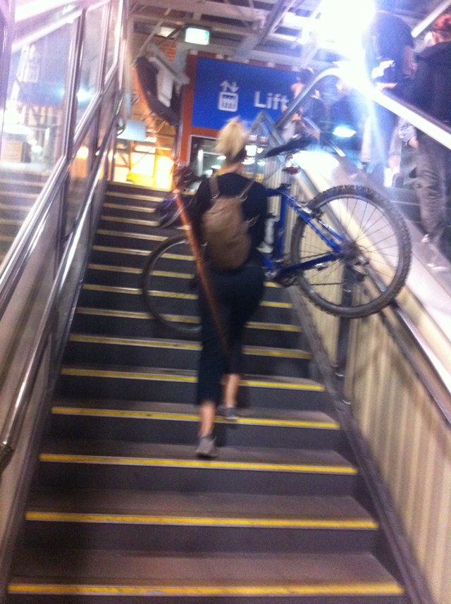
Notes: 50-80cm of path obscured by overgrowth along 150metres
Address: Parramatta cycleway
Map: http://maps.google.com/maps?q=-33.816093,151.090775
Coordinates: -33.816093,151.090775
Photo:

Notes: Path overgrown
Address: 2A Hope Street
Map: http://maps.google.com/maps?q=-33.817227,151.068462
Coordinates: -33.817227,151.068462
Photo:
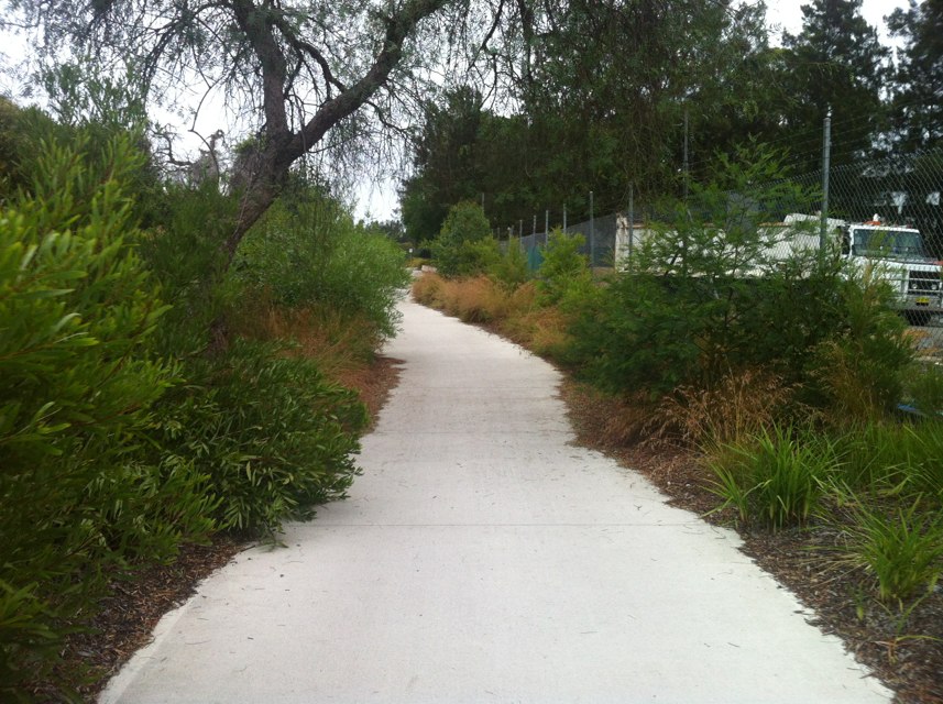
Notes: Dumped construction stuff on parramatta valley cycleway
Address: 3 Allura Crescent
Map: http://maps.google.com/maps?q=-33.823193,151.057395
Coordinates: -33.823193,151.057395
Photo:
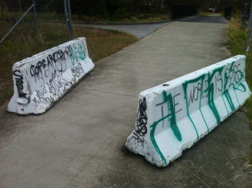
Notes: Incorrect "End" sign on coastal Shared Path at south end of Leighton Beach redevelopment. Shared path actually continues to Port Beach and Fremantle and has done so for many years I contacted City of Fremantle about the incorrect signage in Dec 2010 and they advised that it was intentional, as the path south of here barely meets the standards for a shared path in comparison to the high quality new path in the redevelopment area. However, that is no excuse to deny cyclists the right to use the older path which has been in use for many years and does meet relevant standards. The same path is signed as a shared path at Port Beach so it is currently legal for northbound cyclists but not southbound. The Commissioner of Main Roads had ultimate authority for regulatory signage on shared paths and should override City of Fremantle, in this instance, to remove this obvious anomaly and allow cyclists to legally use what is obviously intended as a shared path.
Address: Port Beach Rd
Map: http://maps.google.com/maps?q=-32.030679,115.747890
Coordinates: -32.030679,115.747890
Photo:
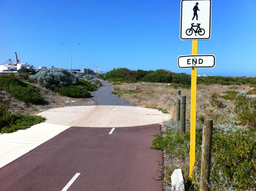
Notes: Incorrect signage used for shared path which bypasses underpass under railway line. Bike Lane and Bike Lane End signs have been incorrectly used to designate the shared path, and Bike Lane signs have been incorrectly used as bike route direction indicators. There are 3 locations for the incorrect signs: 1. At the west end where the on-road bike lane transitions to the shared path 2. At the west end of the shared path 3. At the east end of the shared path Approaching the site eastbound on Stubbs Tce, there is a correctly signed on-road bike lane with "End" pavement markings, but the incorrectly-installed Bike Lane direction sign contradicts the pavement markings. The signs are stamped on the back with MRWA ID data which suggests that Main Roads played a part in their installation. This is surprising as MRWA usually is very rigorous with regulatory signage.
Address: 239 Stubbs Terrace
Map: http://maps.google.com/maps?q=-31.965437,115.800109
Coordinates: -31.965437,115.800109
Photo:
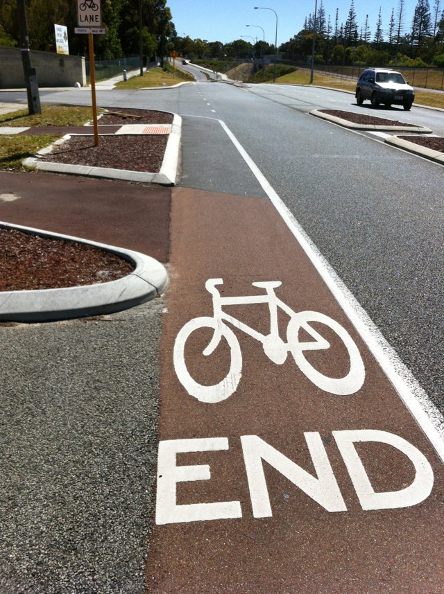
Notes: Further to my Bike Blackspot report of 30/10/2012 re missing and incorrect route signage on PBN Local Bicycle Route NW15, the incorrect use of Bike Lane signs as bike route direction indicators extends further into adjacent streets. City of Subiaco have signed a long-standing bike route along local streets. Incorrect signage exists at: 1. Intersection of Hardy Rd and Winthrop Ave 2. Intersection of Hardy Rd and Megalong St 3. Intersection of Megalong St and Park Rd. 4. East end cul-de-sac on Park Rd The City of Subiaco has no authority to install Bike Lane signs under any circumstances, and has clearly used them wrongly in this instance. Only the Commissioner of Main Roads has the authority to install Bike Lane signs. Main Roads should arrange for the incorrect signs to be removed and encourage City of Subiaco to install correct bike route signage in accordance with Australian Standards. Also, the replacement bike route signs should be integrated with route signage for PBN route NW15. City of Subiaco has removed existing route signs for NW15 which were installed and paid for by the State Government and installed incorrect and unauthorised signage for a different (although useful) bike route which intersects NW15 but leads to different destinations. The quality of bike routes and route signage is very important in this area due the close proximity to UWA and QEII Hospital.
Address: Megalong St
Map: http://maps.google.com/maps?q=-31.971620,115.816806
Coordinates: -31.971620,115.816806
Photo:
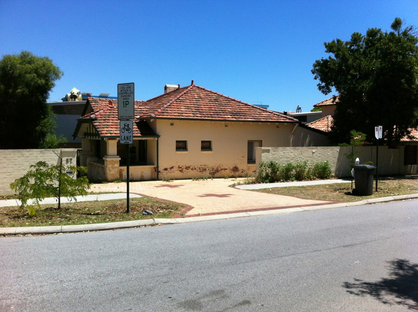
Notes: As a result of an unfortunate motorcycle crash approx 1year ago in which the pillion passenger was killed, the bicycle route sign on the south side of Riverside Drive, just east of the Narrows Bridge, was damaged. The damaged sign lay beside the shared path for several months then was removed and has not been replaced. The bicycle route sign should be replaced to maintain the integrity of signage for the overall network of bicycle routes.
Address: Riverside Dr
Map: http://maps.google.com/maps?q=-31.962570,115.847660
Coordinates: -31.962570,115.847660
Photo:

Notes: Foot bridge over creek has large crack between boards just the right width for the front wheel to drop into. Cyclist did so on Friday, going over the handle bars but fortunately did not suffer any major injuries.
Address: Wandin Yallock Creek
Map: http://maps.google.com/maps?q=-37.778493,145.460495
Coordinates: -37.778493,145.460495
Photo:

Notes: Albert St is a 2 lane road each way and the main link between Sebastopol, Delacombe and Ballarat CBD. It has many roundabouts which are dangerous and the entire stretch of road is dangerous to cyclists with no paths, even though there is space for them. The Ballarat Bicycle Strategy lists Albert St as a high priority as part of the North-South corridor.
Address: Albert Street
Map: http://maps.google.com/maps?q=-37.599873,143.841080
Coordinates: -37.599873,143.841080
Photo:
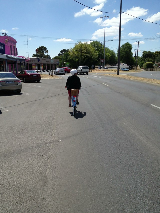
Notes: EVERY weekend the bike path on curtin avenue is blocked in both directions with cars parked in the bike lane. This very dangerous as the owners of these vehicles frequently open doors wide in to the remaining carriageway forcing bike riders and cars to swerve. It is a disaster waiting to happen and would not occur if these cars were regularly ticketed for illegal parking.
Address: Curtin Avenue
Map: http://maps.google.com/maps?q=-32.021722,115.751996
Coordinates: -32.021722,115.751996
Photo:

Notes: Reported twice before but no one taking responsibility. Traffic always across bike and pedestrian crossing. Minister in last correspondence says it is police responsibility. Lights need to change earlier so cars not across intersection when pedestrian lights change.
Address: 49 Princes Street
Map: http://maps.google.com/maps?q=-37.792984,144.973762
Coordinates: -37.792984,144.973762
Photo:
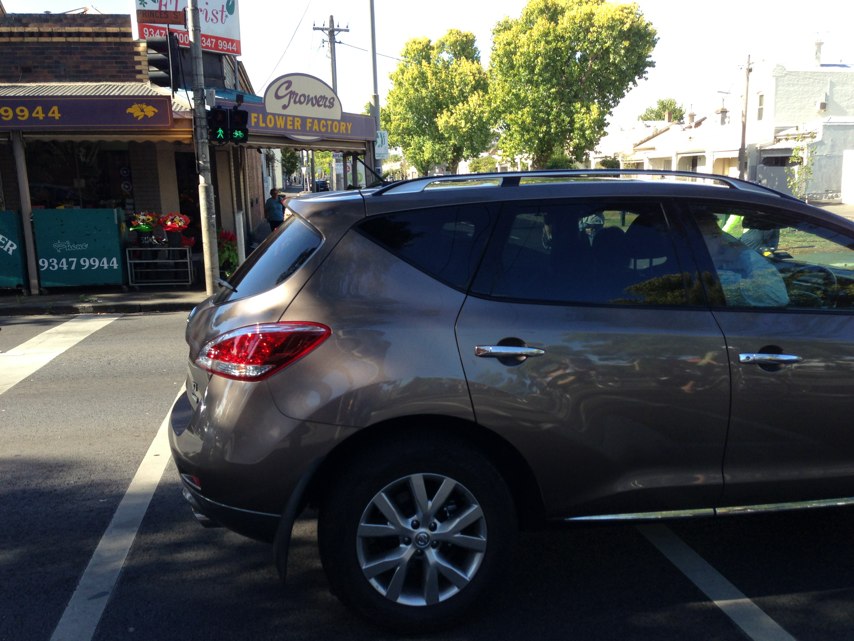
Notes: The cycle lane narrows to go through the underpass and just before Victoria St intersects with Buckly, two lanes expand to three where the cycle lane abruptly stops. There is also a brick wall on the left side of the cycle lane. Cars commonly move across the cyclists path or stop for lights parked over the lane. Was knocked off my bike (21st Jan) as I clipped the mirror of a car which moved too close to the wall and not leaving me enough space to cycle through.
Address: 59 Victoria Street
Map: http://maps.google.com/maps?q=-37.802979,144.892792
Coordinates: -37.802979,144.892792
Photo:

Notes: No bike parking at all here on Main Road. Just rusty parking signs.
Address: 28 Main Road
Map: http://maps.google.com/maps?q=-37.563400,143.864883
Coordinates: -37.563400,143.864883
Photo:
Notes: This glass light is very slippery, especially when wet, and is positioned too far from the edge of the path; on a corner too. As the lights are of limited use (the path is not used as an aircraft landing strip!) their removal would make life safer for cyclists and others using the shared path, especially as it crosses Gardiners Creek here. Thank you.
Address: 20 Estella St
Map: http://maps.google.com/maps?q=-37.862459,145.061352
Coordinates: -37.862459,145.061352
Photo:

Notes: Real problem
Address: 899 West Swan Road
Map: http://maps.google.com/maps?q=-31.886206,115.973763
Coordinates: -31.886206,115.973763
Photo:
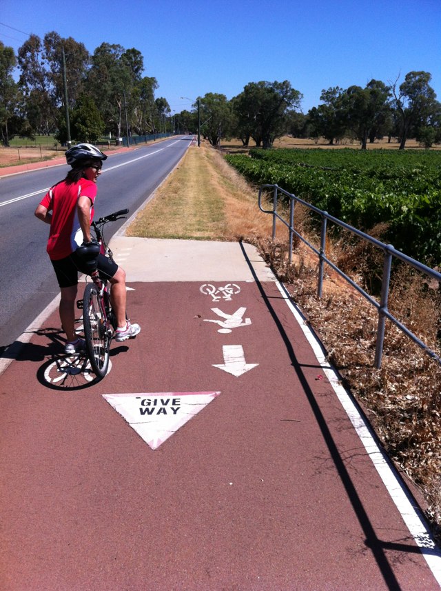
Notes: The entire stretch of the downhill Magill Rd has been double laid, leaving a big crevice which wheels can be caught in. The road is also full of patch work over the bike lane - needs a resurface!
Address: 308A Magill Road
Map: http://maps.google.com/maps?q=-34.914323,138.649836
Coordinates: -34.914323,138.649836
Photo:
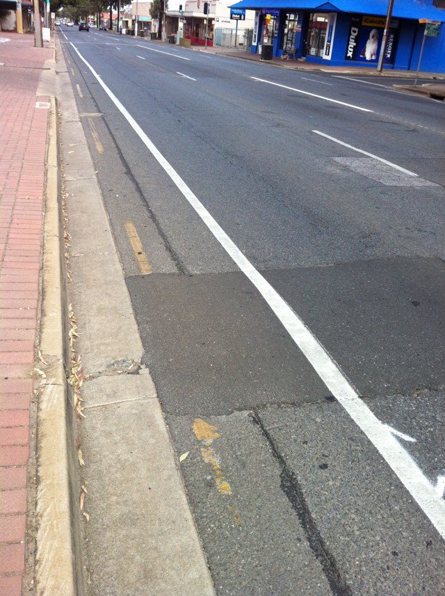
Notes: Previous patch job to the surface of the road is horrendous and extremely corrugated. Corner of waiora rd and Orr st outside the Chinese restaurants.
Address: 231 Waiora Rd
Map: http://maps.google.com/maps?q=-37.729990,145.060794
Coordinates: -37.729990,145.060794
Photo:

Notes: Just crashed thanks to this raised section of path, needs fixing up ASAP before somebody else is hurt.
Address: 2 Cordite Avenue
Map: http://maps.google.com/maps?q=-37.769385,144.880627
Coordinates: -37.769385,144.880627
Photo:
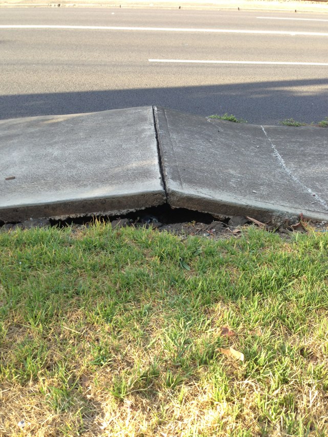
Notes: On George st especially round world square it is impossible to pull to the side to allow cars to pass. I am often honked and yelled at here by cars stuck behind me. There needs to be a way to let them pass or lower car speeds.
Address: George st
Map: http://maps.google.com/maps?q=-33.870720,151.206940
Coordinates: -33.870720,151.206940
Photo:

Notes: Doing a right hand turn from Wurundjeri Way into Batmans Hill Drive takes three crossings. Bike traffic indicators not on same circuit as car traffic lights. Result: bike has red light while cars in same direction have green and it takes more than one complete cycle of car lights to get across the three crossings. Fail!
Address: Batmans Hill Drive
Map: http://maps.google.com/maps?q=-37.822191,144.950099
Coordinates: -37.822191,144.950099
Photo:
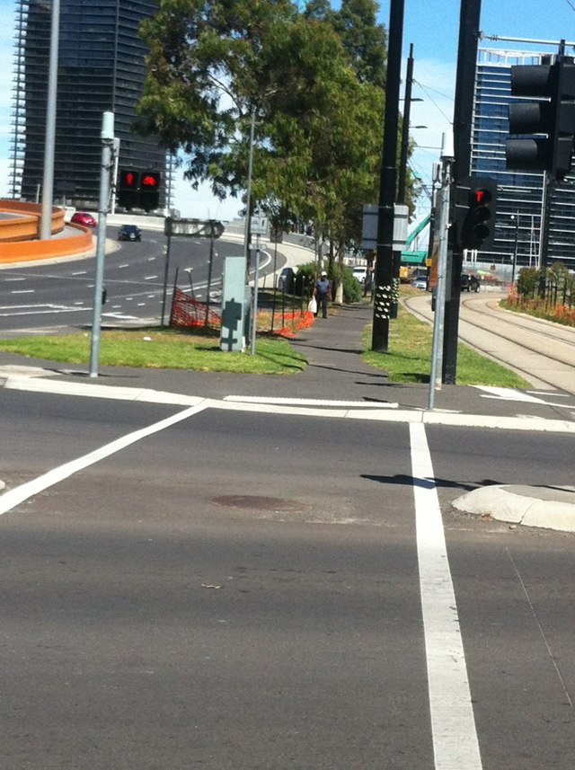
Notes: Not a good solution!
Address: Machinery Drive
Map: http://maps.google.com/maps?q=-37.875932,144.736813
Coordinates: -37.875932,144.736813
Photo:
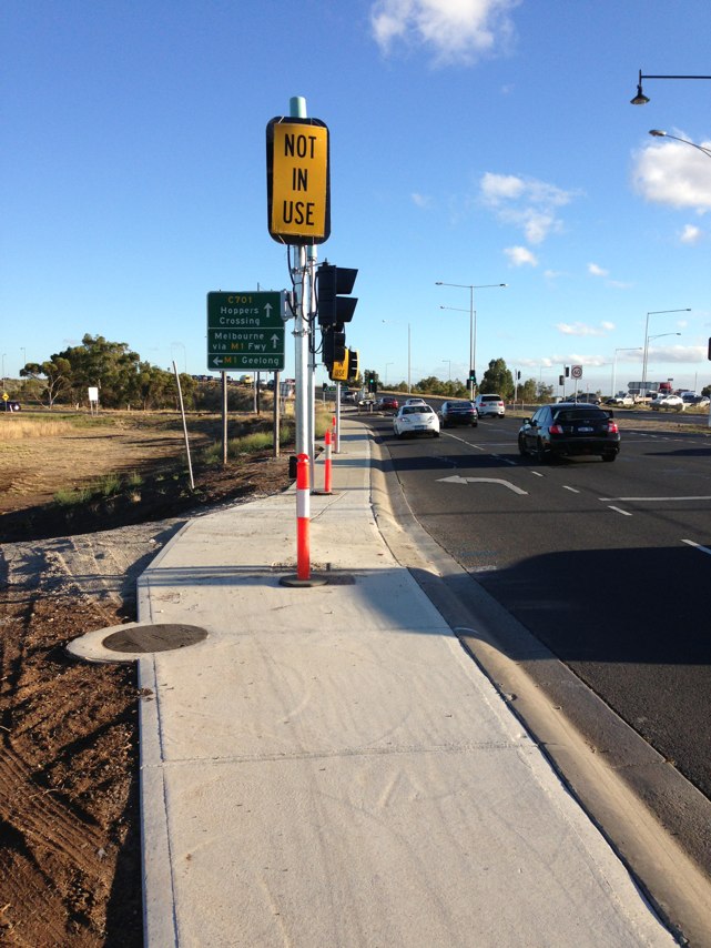
Notes: Asphalt has dropped away, unlit at night
Address: Federation Trail
Map: http://maps.google.com/maps?q=-37.868402,144.721426
Coordinates: -37.868402,144.721426
Photo:
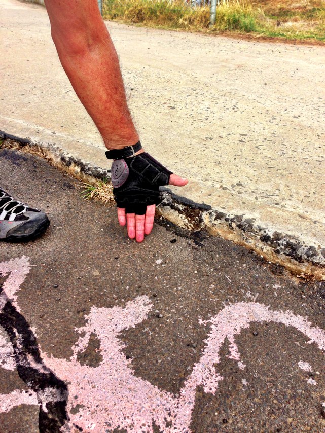
Notes: (null)
Address: Federation Trail
Map: http://maps.google.com/maps?q=-37.830408,144.797024
Coordinates: -37.830408,144.797024
Photo:
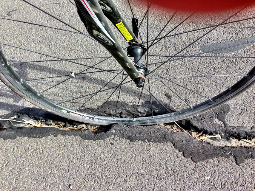
Notes: This drop off is directly in line of travel, heading West.
Address: Federation Trail
Map: http://maps.google.com/maps?q=-37.820595,144.825040
Coordinates: -37.820595,144.825040
Photo:
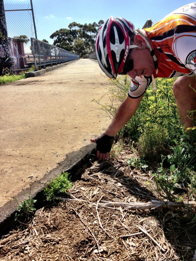
Notes: This bump is on a blind corner, making it dangerous. Emergency marker nearby is GCT014
Address: June Crescent
Map: http://maps.google.com/maps?q=-37.864798,145.062661
Coordinates: -37.864798,145.062661
Photo:
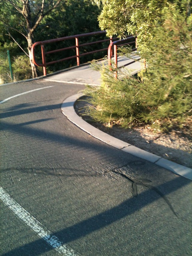
Notes: Soft sand, especially dangerous at night!
Address: 23 Francis Street
Map: http://maps.google.com/maps?q=-28.778347,114.604037
Coordinates: -28.778347,114.604037
Photo:

Notes: Recent tree fall call 0416425289 if needed
Address: 4 Killen Place
Map: http://maps.google.com/maps?q=-31.841014,115.793626
Coordinates: -31.841014,115.793626
Photo:
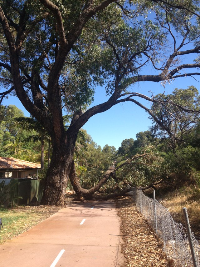
Notes: Tree obscuring path near bend and corner. Pruning required.
Address: 50 Jewell Lane
Map: http://maps.google.com/maps?q=-31.947953,115.880930
Coordinates: -31.947953,115.880930
Photo:
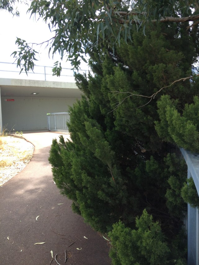
Notes: (null)
Address: Ivy st bike path
Map: http://maps.google.com/maps?q=-31.942123,115.939316
Coordinates: -31.942123,115.939316
Photo:
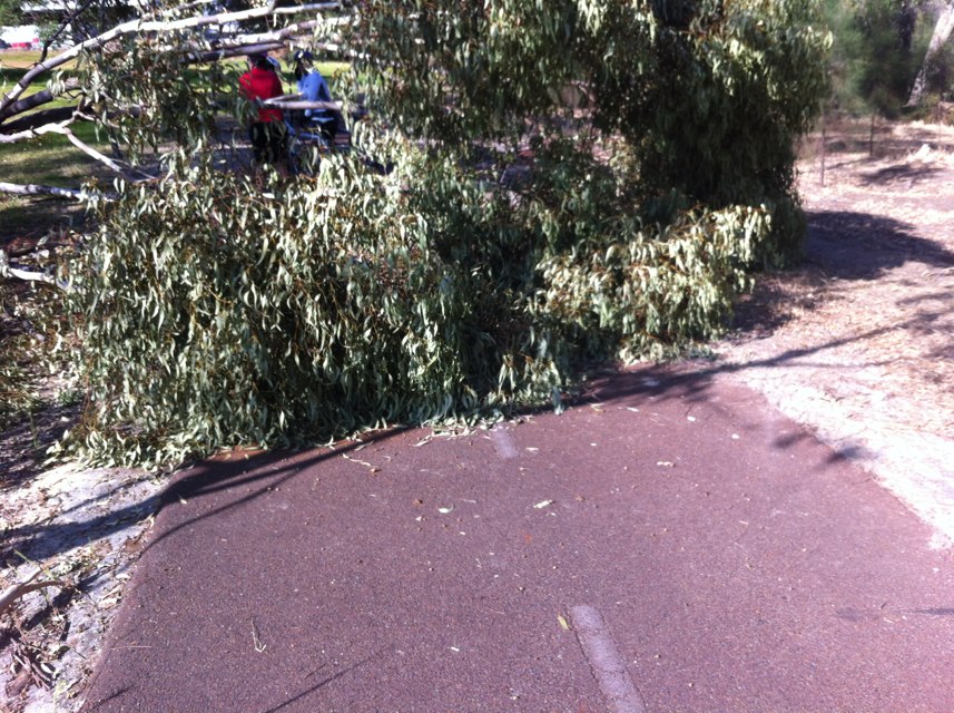
Notes: Hit by car turning onto me.
Address: 177 Lygon St
Map: http://maps.google.com/maps?q=-37.772801,144.971316
Coordinates: -37.772801,144.971316
Photo:

Notes: Beaufort st and central ave in the morning. Bus stop immediately before and immediately after central ave. no right turning light for Beaufort into central. Two lanes with cars and buses moving erratically and bike nightmare. To start with get rid of one bus stop and stop right hand turns in peak hour.
Address: Beaufort st and central ave
Map: http://maps.google.com/maps?q=-31.924875,115.881866
Coordinates: -31.924875,115.881866
Photo:

Notes: (null)
Address: Mitchell Freeway
Map: http://maps.google.com/maps?q=-31.936108,115.838402
Coordinates: -31.936108,115.838402
Photo:

Notes: Three very rough path joins on Boomerang Path in Kings Park, between Prionotes Path and intersection with Speargrass Path. These rough joins have been present for 5 years at least and gradually getting worse. They have the potential to cause punctures or damage bike wheel rims. There are also two other rough joins at intersection of Boomerang Path and Speargrass Path, and where Western Path diverges from Boomerang Path. These two are also bad as they are at junctions where cyclists are turning and bike stability is more affected. There are approx. 20-30 other rough path joints throughout Kings Park but the above-mentioned ones are the worst and concentrated into a small area. Many of the rough path joints also present trip hazards to pedestrians and, compared to bike riders, are considerably more hazardous to riders of "small wheeled vehicles" such as inline skates or scooters, as the small wheels are more likely to get caught at a bump which bike wheels would pass over. The photo is typical of the many rough path joints in Kings Park.
Address: 1 May Drive
Map: http://maps.google.com/maps?q=-31.960741,115.827217
Coordinates: -31.960741,115.827217
Photo:

Notes: Where foreshore shared path crosses Ellam St, Victoria Park, the bollards in the centre of the path do not comply with recognised standards with respect to colour and extent of reflective tape (needed to ensure visibility of the bollards at night). The paths either side of Ellam St are the responsibility of South Perth and Victoria Park councils, which have applied different treatments to the bollards but neither is compliant with the standards. The paths on both sides have only been built in the last 1-2 years, so they should be fully compliant with required standards. It is quite likely that PBN (Perth Bicycle Network) grants were used, at least in part, to fund the construction so there must have been a process failure resulting in the non-compliant bollards. There seems to be little follow-up to ensure that State Govt funded projects are build to the correct standards, as this is not an isolated example.
Address: Ellam St
Map: http://maps.google.com/maps?q=-31.971987,115.879669
Coordinates: -31.971987,115.879669
Photo:
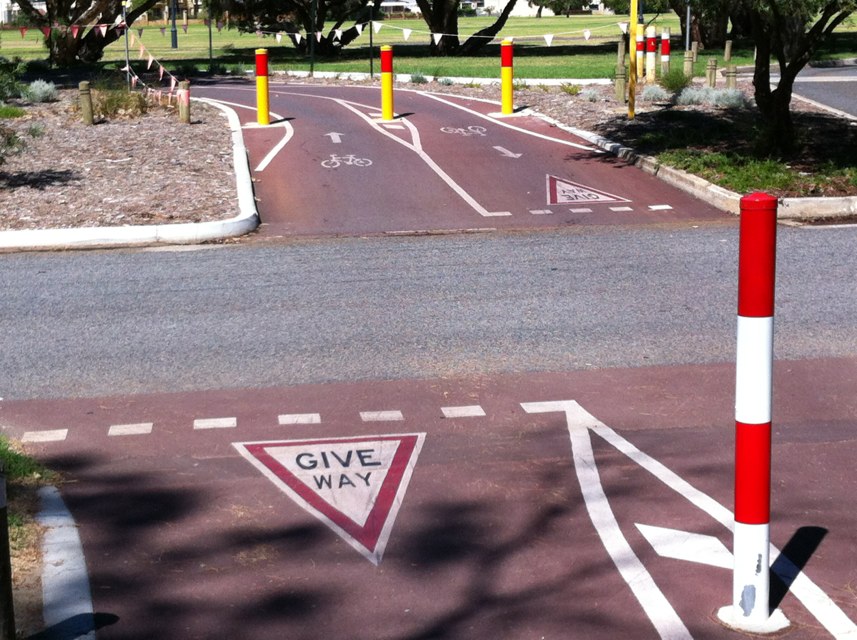
Notes: Several hazards at Horder St underpass under Canning Hwy in Victoria Park, mainly due to lack of maintenance since built by MRWA: 1. Reflective tape worn off bollard on Hordern St approach to underpass, and pavement markings intended to highlight bollard location are badly faded and almost invisible. 2. Shared Path End sign at end of Hordern St is facing the wrong way, indicating "End" at the start of the shared path. 3. PBN bike route directional sign at the McCallum Park end of the underpass are facing the wrong direction. 4. On path approaching underpass from The Causeway, a repaired section of the path has moved resulting in a dangerous longitudinal gap to the main path.
Address: 7 Hordern St
Map: http://maps.google.com/maps?q=-31.969509,115.887783
Coordinates: -31.969509,115.887783
Photo:

Notes: Road pavement extremely poor. Presents a danger especially for cyclists.
Address: 382443 Ventnor Road
Map: http://maps.google.com/maps?q=-38.463843,145.197554
Coordinates: -38.463843,145.197554
Photo:

Notes: 2 approx 500mm square depressions in the western side of the Brockway Road side bike path between Alfred Road and Moore Drive
Address: 44 Evandale Street
Map: http://maps.google.com/maps?q=-31.942794,115.799551
Coordinates: -31.942794,115.799551
Photo:
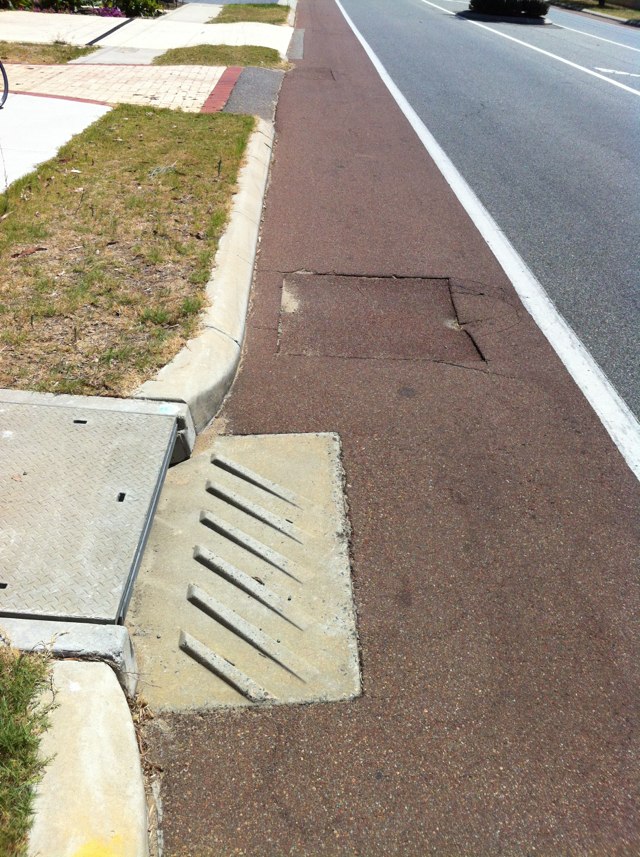
Notes: 2 approx 500mm dangerous square depressions on the western side of the Brockway Rd bike path between Alfred Rd and Moore Dr
Address: 11 Brockway Road
Map: http://maps.google.com/maps?q=-31.967427,115.791114
Coordinates: -31.967427,115.791114
Photo:

Notes: Shared path completely blocked by major excavation and pile of sand. No alternative route provided. Judging by grass growing under fence, it has been blocked for some time.
Address: LOT 203 Victoria Park Dr
Map: http://maps.google.com/maps?q=-31.954820,115.897350
Coordinates: -31.954820,115.897350
Photo:
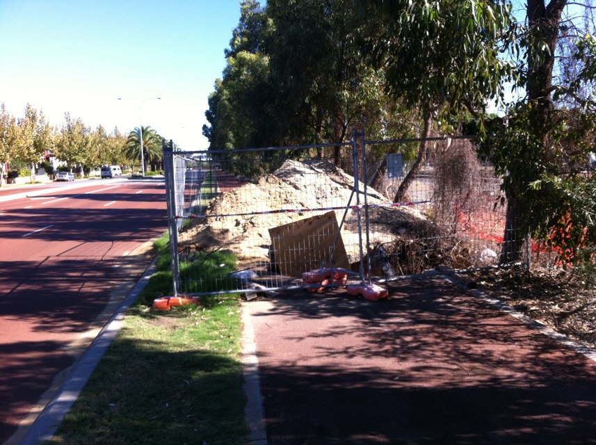
Notes: This is not a safe resolution at this intersection
Address: 6171 Heaths Road
Map: http://maps.google.com/maps?q=-37.879544,144.701080
Coordinates: -37.879544,144.701080
Photo:
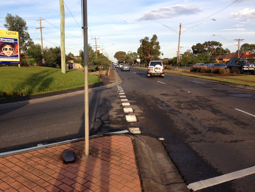
Notes: Well frequented path
Address: Derrimut Road
Map: http://maps.google.com/maps?q=-37.862413,144.685363
Coordinates: -37.862413,144.685363
Photo:
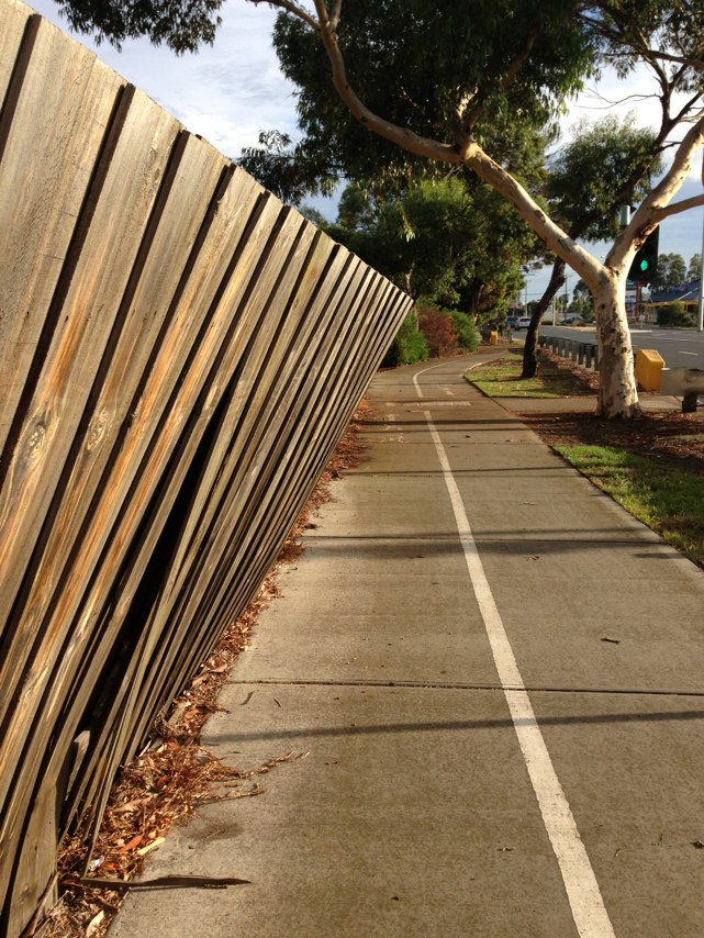
Notes: Chicanes that force cyclists and motorists to merge into one lane, device narrowing forces cyclists and motorists to go from the left to the middle of road into one lane, head on with on coming traffic to negotiate the device. Two of the devices are near a bike path so there are always cyclists coming off and onto the bike path, have been telling boroondara for years, see pics @whatsright_123, all at council up to the CEO have been notified but they think the devices are fine as supposedly they slow speed, which auditors have told them they are somewhat ineffective, surely there are safer ways to slow speed, they are now proceeding to make the narrowing even more narrow.
Address: Orion st
Map: http://maps.google.com/maps?q=-37.784054,145.072037
Coordinates: -37.784054,145.072037
Photo:
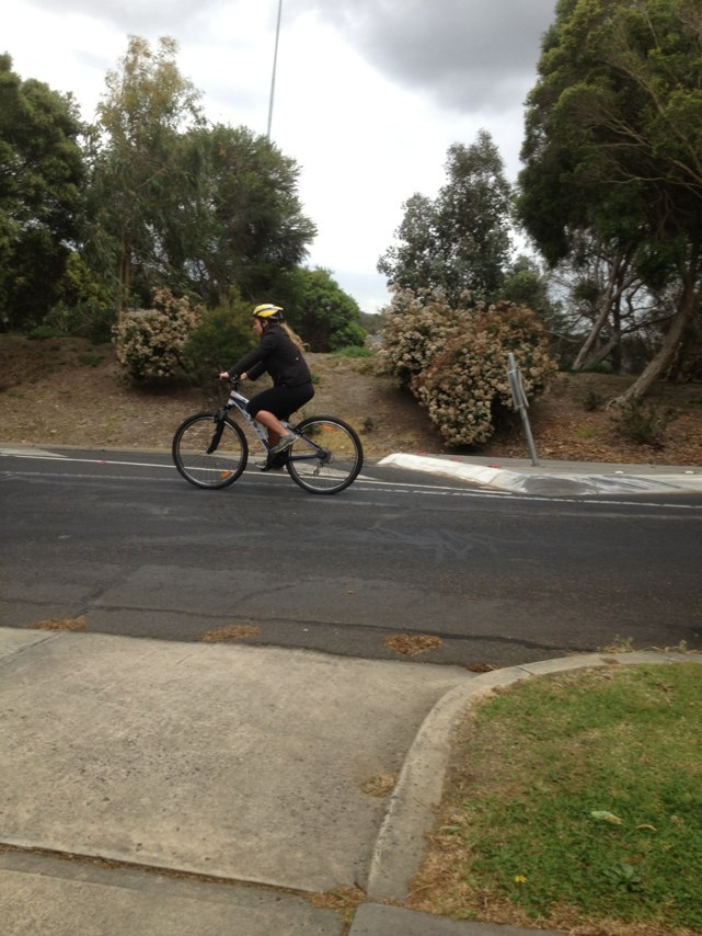
Notes: Sheet material lying on marmion ave just at junction of Kinross drive.
Address: 13 Holyhead Green
Map: http://maps.google.com/maps?q=-31.695811,115.711137
Coordinates: -31.695811,115.711137
Photo:

Notes: Right next to the train station, no bike path or even enough room for a bike to travel up the hill that creates a blind spot for motorists. An accident waiting to happen
Address: 24 Kennedy St
Map: http://maps.google.com/maps?q=-37.063900,144.214536
Coordinates: -37.063900,144.214536
Photo:

Notes: Concrete intersects with bitumen across bike lane on Westgarth St, Darebin at bus stop. Concrete is higher than bitumen creating ridge. Cyclist thrown from bike and transported to St Vincents hospital.
Address: 203 Westgarth Street
Map: http://maps.google.com/maps?q=-37.782485,145.008974
Coordinates: -37.782485,145.008974
Photo:
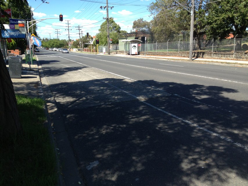
Notes: Lonsdale St Melbourne One of our busiest streets with not one bike parking rack
Address: 541557 Lonsdale Street
Map: http://maps.google.com/maps?q=-37.814317,144.956342
Coordinates: -37.814317,144.956342
Photo:

Notes: Trucks have right of way, typically blocking off the crossing whilst waiting to enter traffic
Address: 450468 Footscray Road
Map: http://maps.google.com/maps?q=-37.809343,144.931756
Coordinates: -37.809343,144.931756
Photo:

Notes: Westbound on Munro St in the onroad bike lane, at the level crossing. The asphalt surrounding the train tracks has risen sharply, creating a dangerous obstacle which could damage bicycle wheels or cause a rider to fall across the train tracks.
Address: 3741 Munro Street
Map: http://maps.google.com/maps?q=-37.744690,144.963088
Coordinates: -37.744690,144.963088
Photo:

Notes: Poor kerbside surface. Poorly patched with mixed materials. Does not drain properly and is unbelievably slippery when wet. I broke my wrist and elbow and got several lacerations.
Address: S E cnr Susan and Bridge sts
Map: http://maps.google.com/maps?q=-37.945103,145.007507
Coordinates: -37.945103,145.007507
Photo:
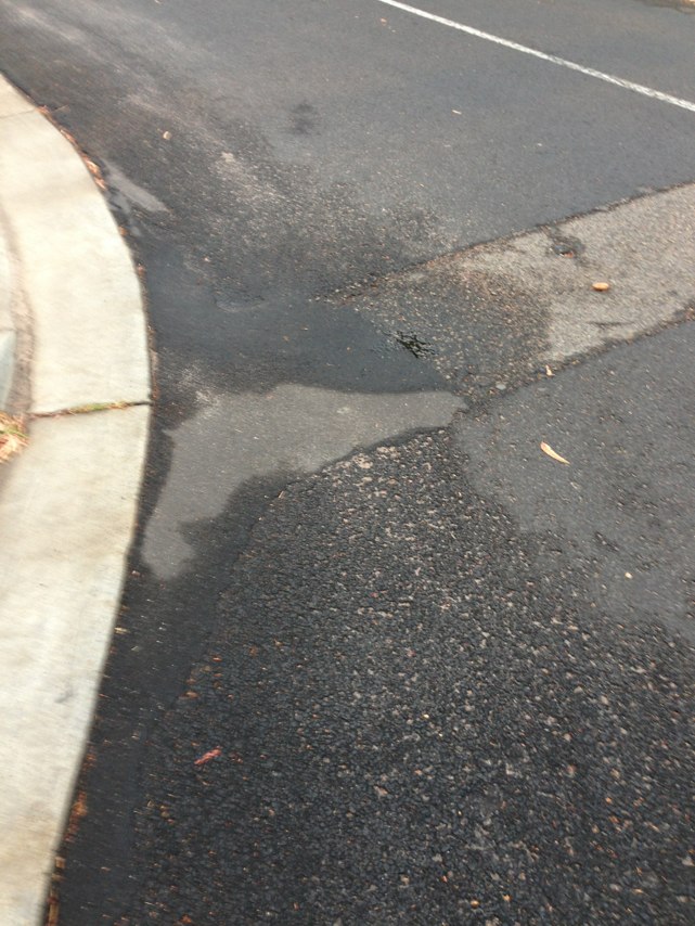
Notes: Broken pump.
Address: 186198 Boundary Street
Map: http://maps.google.com/maps?q=-33.881347,151.220694
Coordinates: -33.881347,151.220694
Photo:
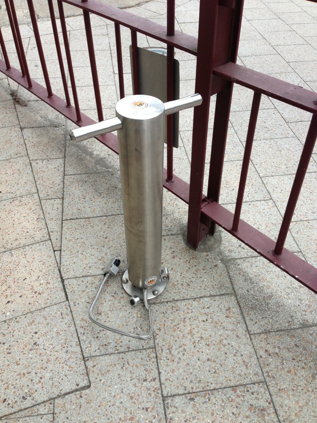
Notes: Vegetation needs cutting
Address: 131 St Georges Road
Map: http://maps.google.com/maps?q=-37.769283,144.991201
Coordinates: -37.769283,144.991201
Photo:
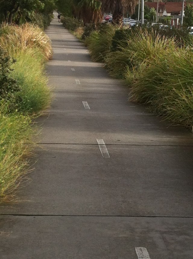
Notes: Broken/grotty paving and great big steel grate in the centre of the path where it turns into a bike lane!
Address: 125 Heidelberg Road
Map: http://maps.google.com/maps?q=-37.784909,145.002709
Coordinates: -37.784909,145.002709
Photo:
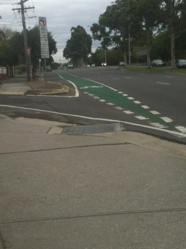
Notes: Bolt needs nailing back into place. General check required on several bolts on this bridge.
Address: Wooden footbridge over Torrens near the new kiosk
Map: http://maps.google.com/maps?q=31.319445,-86.399918
Coordinates: 31.319445,-86.399918
Photo:
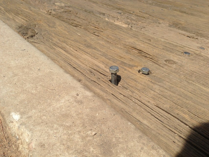
Notes: Liverpool-Parramatta rail trail between Pine rd Yennora and Yennora rail Station. edges need mowing. Grass / plants encroaching badly.
Address: 109 Railway Street
Map: http://maps.google.com/maps?q=-33.867280,150.966353
Coordinates: -33.867280,150.966353
Photo:

Notes: No crossing
Address: 143A Barrack Street
Map: http://maps.google.com/maps?q=-31.952631,115.861158
Coordinates: -31.952631,115.861158
Photo:
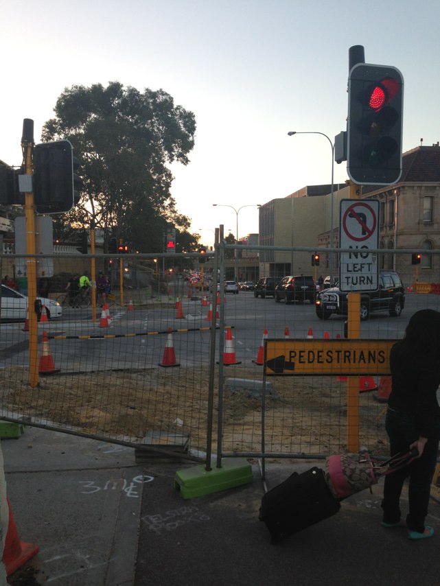
Notes: this bike path was horrendous this morning.... lots of bikes walkers dogs prams joggers - it really is incapable of handling this traffic safely.
Address: The Causeway
Map: http://maps.google.com/maps?q=-31.964655,115.883789
Coordinates: -31.964655,115.883789
Photo:
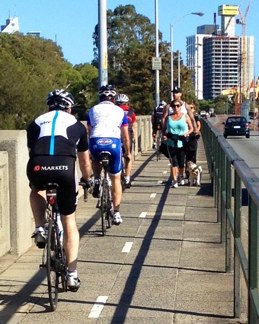
Notes: apart from being too narrow the path across the causeway is in need of repair... very unsafe for bikes trying to dodge dogs kids and tourists!
Address: Causeway
Map: http://maps.google.com/maps?q=-31.966175,115.883978
Coordinates: -31.966175,115.883978
Photo:
Notes: New kerb ramps being built are way too narrow where Principal Shared Path along Roe St crosses Barrack St. Kerb ramps should be same width, at least, as the path which is 3 m in this area. Narrow kerb ramps will not allow simultaneous 2-way flow of pedestrians and cyclists and will simply lead to increased conflict between path users at this busy intersection. Please use some common sense guys and girls! If you are spending public money you should be making things better not worse.
Address: 30 Beaufort St
Map: http://maps.google.com/maps?q=-31.951458,115.861601
Coordinates: -31.951458,115.861601
Photo:
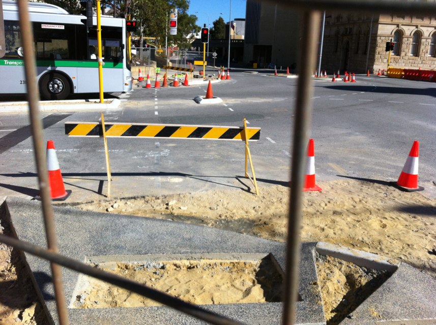
Notes: (null)
Address: Federation Trail
Map: http://maps.google.com/maps?q=-37.822745,144.843236
Coordinates: -37.822745,144.843236
Photo:
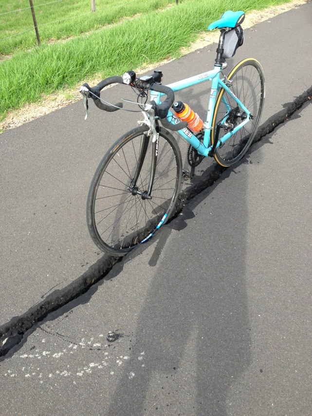
Notes: Corner of Roe St and Barrack St. Roe St path closed and footpath along Barrack bridge is dug up
Address: Stirling Street
Map: http://maps.google.com/maps?q=-31.951307,115.862203
Coordinates: -31.951307,115.862203
Photo:

Notes: Cateye reflectors in the green bike lane on Heaths Rd have been painted over making them even more hazardous while serving no useful function.
Address: 35 Heaths Road
Map: http://maps.google.com/maps?q=-21.129880,149.158291
Coordinates: -21.129880,149.158291
Photo:
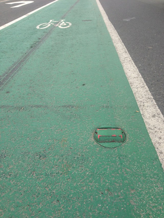
Notes: At the end of path a gate, which does not allow bikes through!!
Address: Lakeside Drive
Map: http://maps.google.com/maps?q=-31.738865,115.774658
Coordinates: -31.738865,115.774658
Photo:
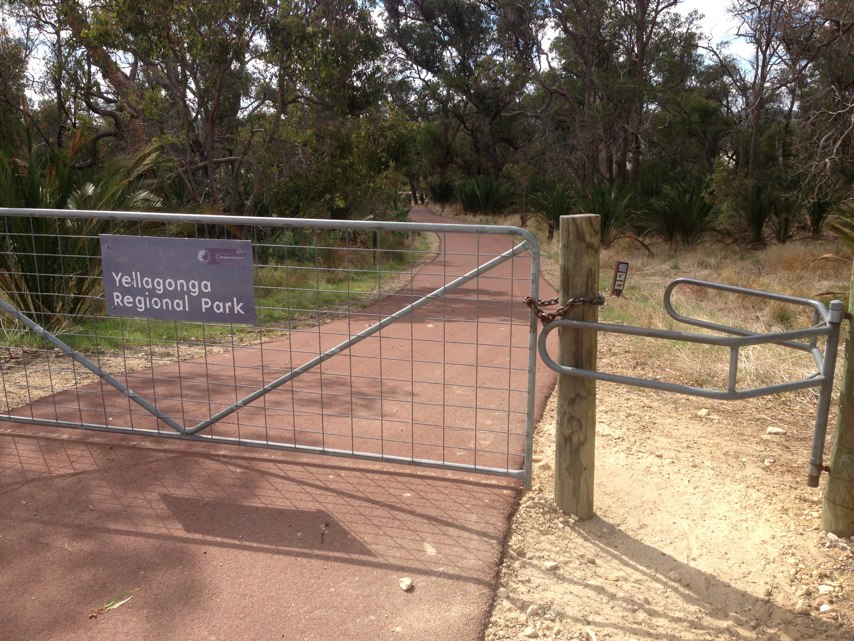
Notes: Coarse gravel over road on Racecourse Rd heading east just before intersection.Has been there for months now. Significant risk to cyclists.
Address: 44 Princes Highway
Map: http://maps.google.com/maps?q=-37.789184,144.939902
Coordinates: -37.789184,144.939902
Photo:

Notes: vehicle clearly parked in bike lane and crosses over into traffic lane.
Address: Kororoit Creek Road
Map: http://maps.google.com/maps?q=-37.850867,144.847279
Coordinates: -37.850867,144.847279
Photo:

Notes: Between Glendalough and Leerdeville the patch is not levelled and when is raining lots of water got stuck.
Address: Mitchell Freeway
Map: http://maps.google.com/maps?q=-31.928352,115.832740
Coordinates: -31.928352,115.832740
Photo:

Notes: Aggressive cars as you enter roundabout
Address: Riou street
Map: http://maps.google.com/maps?q=-33.427792,151.336426
Coordinates: -33.427792,151.336426
Photo:

Notes: It is TIME to enforce the no parking in this bike lane during peak hours, I have nearly been hit three times now trying to negotiate the parked cars and heavy traffic. PLEASE sort this issue out!
Address: 142 Prospect Road
Map: http://maps.google.com/maps?q=-34.885085,138.593735
Coordinates: -34.885085,138.593735
Photo:

Notes: Cyclists from both directions forced into space only suitable for one bike. There is the space to configure access for both directions.
Address: 278 Napier St
Map: http://maps.google.com/maps?q=-37.799728,144.980820
Coordinates: -37.799728,144.980820
Photo:
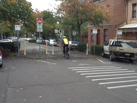
Notes: Two holes in asphalt a danger to cyclists.
Address: 17 White Street
Map: http://maps.google.com/maps?q=-37.775492,144.981309
Coordinates: -37.775492,144.981309
Photo:
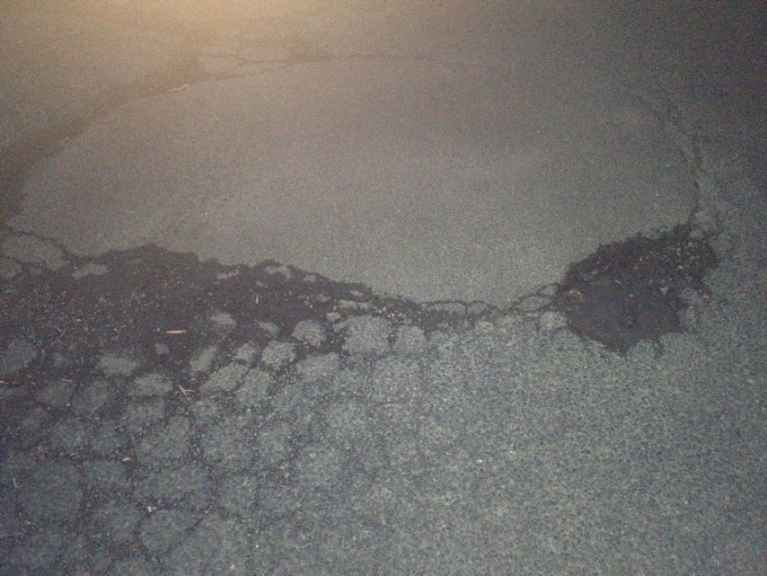
Notes: Potholes all along this stretch of road at UQ.
Address: 7191 Sir William Macgregor Drive
Map: http://maps.google.com/maps?q=-27.502709,153.011705
Coordinates: -27.502709,153.011705
Photo:
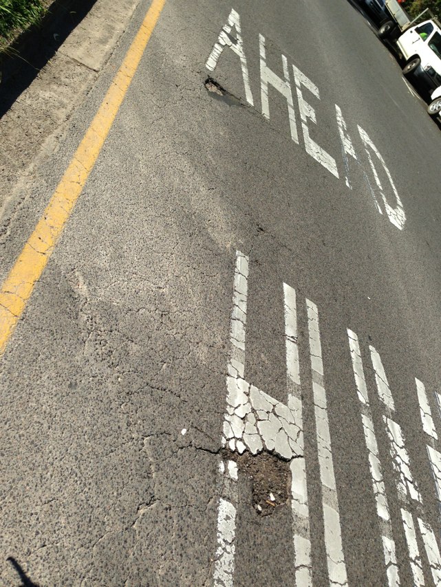
Notes: Further to my Bike Blackspot report of 23 April re the rebuilding of the Matilda Bay Shared Path, I have just returned from a meeting with Bill Marmion who is my local member as well as former Environment Minister. Mr Marmion had information from DEC indicating they abandoned their plans to rebuild the path to a higher standard after advice from Dept of Transport (Bikewest). In my opinion, this advice was wrong as it has resulted in the path being rebuilt to a standard which does not conform to Austroads Part 14 Standards for a recreational shared path. Bikewest should be held accountable for their bad advice which had resulted in the community missing out on the upgraded facilities as announced by the then Minister in 2011. DEC should have publicly consulted before going ahead with the project due to the significant changes from what was publicly announced in 2011. I intend to arrange a meeting with DEC staff to try to ensure some improvements can be achieved in the southern section of the path which has not been completed yet. It is clear that Bikewest cannot be trusted to achieve a good outcome for cyclists.
Address: 140 William S
Map: http://maps.google.com/maps?q=-31.952326,115.857826
Coordinates: -31.952326,115.857826
Photo:

Notes: Sign unwisely placed right at head height for both walkers and riders. Already I have had someone report to my nearby building with bloodied head (Mark.Dibben@utas.edu.au). This needs to be moved immediately.
Address: 20 Earl st
Map: http://maps.google.com/maps?q=-42.902397,147.329590
Coordinates: -42.902397,147.329590
Photo:
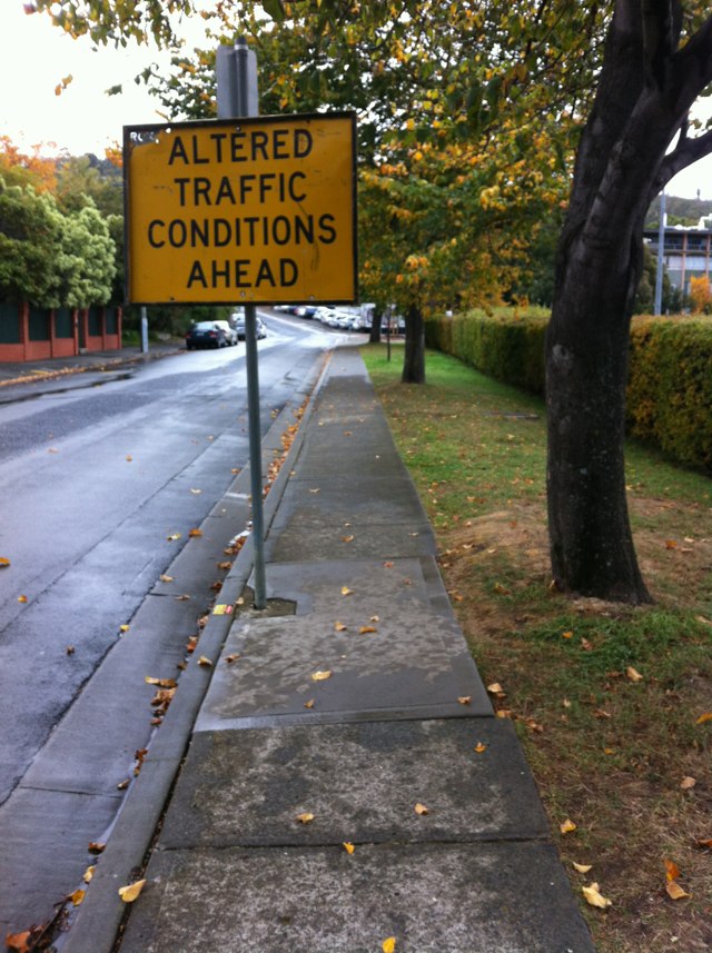
Notes: The bluestone sticking out of the road mean swerving out into traffic. Not safe.
Address: Victoria St
Map: http://maps.google.com/maps?q=-37.811440,145.009611
Coordinates: -37.811440,145.009611
Photo:

Notes: Lots of people cycle along Thomas Street to get to West Perth. The cycle path and cycle lanes are great, but they abruptly stop once you reach the shell garage going North. On this stretch, occasionally you get a big truck needing the full lane width and drivers in other lanes are doing a lot of late lane changes. This mix of hazards make me very nervous using this stretch of road. The footpath is hardly used, could it not be made dual use? Also the road gutter is perpetually littered with broken glass fragment, it seems that Thomas street is rarely swept.
Address: 48 Thomas Street
Map: http://maps.google.com/maps?q=-31.946575,115.838377
Coordinates: -31.946575,115.838377
Photo:

Notes: Bike path with no lighting at all. Danger zone. Please, can we have lights for safety allround, especially in winter when it gets dark early.
Address: Stephenson Avenue
Map: http://maps.google.com/maps?q=-31.908769,115.800014
Coordinates: -31.908769,115.800014
Photo:
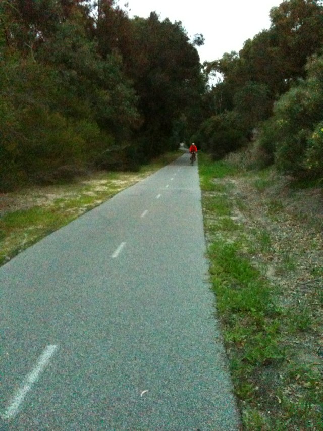
Notes: Brand new Main Roads direction sign located in the middle of the shared path. This is what Main Roads used to do 20 years ago before they became "aware" of the need to provide safe facilities for cycling. The only safe solution is a cantilever sign with a single support post well clear of the shared path. This is an obvious and unnecessary hazard which must be fixed, along with any others like it which may have been installed as part of this project. Main Roads should also carry out an investigation under its QA system to find out why the sign was allowed to be installed this way and to prevent similar mistakes from happening on other projects.
Address: 88 Grandstand Rd
Map: http://maps.google.com/maps?q=-31.939526,115.922863
Coordinates: -31.939526,115.922863
Photo:
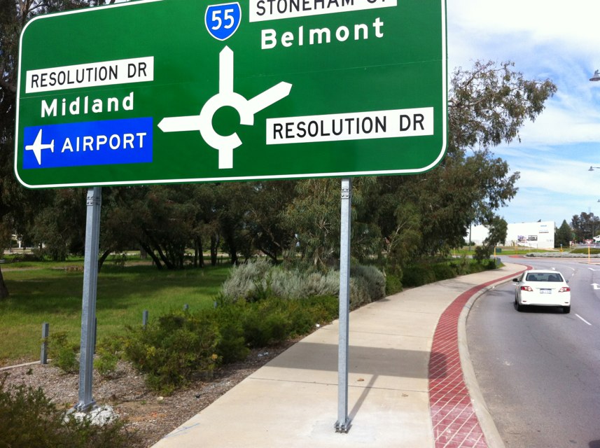
Notes: Without doubt the worst piece of cycling infrastructure in Sydney, such a pity too as the surrounding run from Gladesville to Putney is quite present and manageable for all abilities. This would be such a in important improvement to allow more people to commute into the CBD.
Address: 23 Huntleys Point Road
Map: http://maps.google.com/maps?q=-33.840568,151.146126
Coordinates: -33.840568,151.146126
Photo:
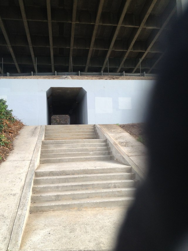
Notes: Would bursts tire of any bike
Address: 1429 Milligan Street
Map: http://maps.google.com/maps?q=-31.951958,115.851405
Coordinates: -31.951958,115.851405
Photo:
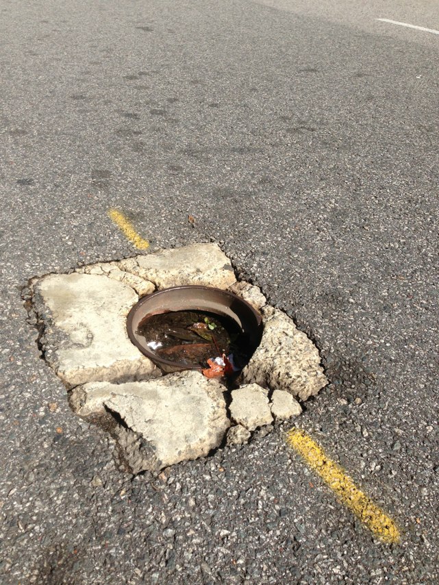
Notes: Most cyclists leave the bile path and take to the road at this point to avoid dismounting to walk the shikane over the railway crossing, but there is virtually no bitumenised shoulder on the road and the bike track has disappeared! I suppose the idea is to make cyclists use the shikane thing but human nature ensures that the quickest route is taken. If the bitumen on the bike track could be continued to provide a road shoulder for cyclists, it would be much safer.
Address: 28 West Coast Drive
Map: http://maps.google.com/maps?q=-33.144776,115.688658
Coordinates: -33.144776,115.688658
Photo:
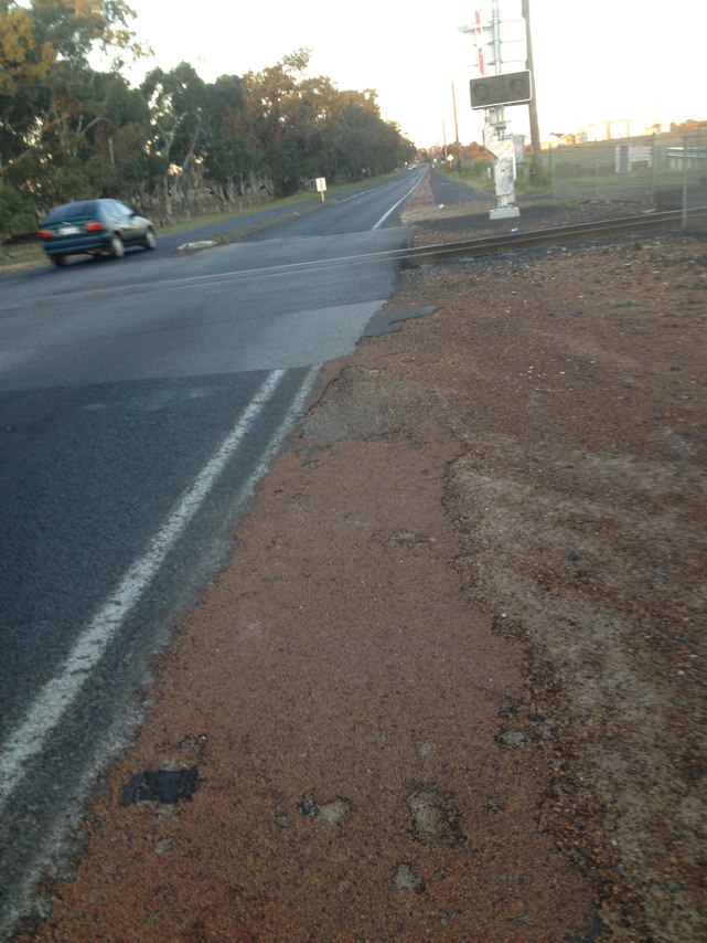
Notes: Detour for temporary closure of Principal Shared Path should be located several hundred metres east of work site so cyclists have the option of riding along Claremont Cres. Existing detour leads cyclists to steps on west side of Stirling Rd, so there is no option but to wheel or carry bike down steep steps. On-road detour via Claremont Cres would be much more sensible.
Address: 2 Claremont Crescent
Map: http://maps.google.com/maps?q=-31.981281,115.779205
Coordinates: -31.981281,115.779205
Photo:
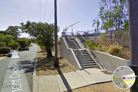
Notes: The Perry lakes to City Beach bike path Perth needs major maintenance on some sections.
Address: Oceanic drive
Map: http://maps.google.com/maps?q=-31.938124,115.783203
Coordinates: -31.938124,115.783203
Photo:

Notes: Deep groove along Yarra Trail, Swan St underpass.
Address: 1020 Olympic Boulevard
Map: http://maps.google.com/maps?q=-37.823547,144.977972
Coordinates: -37.823547,144.977972
Photo:
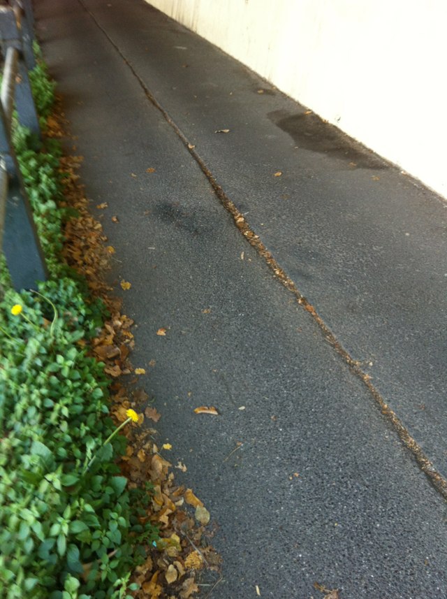
Notes: The Principal Shared Path through central Perth is closed for a considerable distance near Perth Train Station and also at McIver Station. Closure without a reasonable detour is not acceptable. Some suggestions for improvement: 1. Paint temporary bike lanes on Roe St and impose a 30 km/hr speed limit for all vehicles. 2. Detour the through route for cyclists via Aberdeen St.
Address: 20 Roe St
Map: http://maps.google.com/maps?q=-31.949242,115.856964
Coordinates: -31.949242,115.856964
Photo:
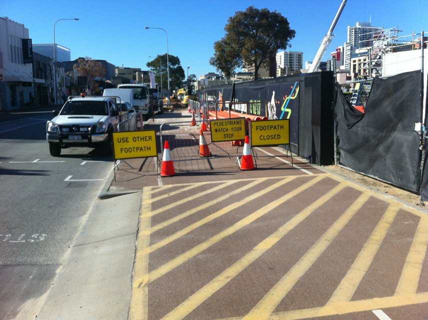
Notes: Bike path suddenly disappears into dirt and bikes are expected to merge into single lane oncoming traffic. Scary!
Address: 246-248 Whitehall St
Map: http://maps.google.com/maps?q=-37.817039,144.899240
Coordinates: -37.817039,144.899240
Photo:

Notes: A meter maters. Book illegally parked card
Address: 270 Bambra Rd
Map: http://maps.google.com/maps?q=-37.894420,145.027542
Coordinates: -37.894420,145.027542
Photo:

Notes: 1) Numerous nails sticking out of wooden bridge, imminent danger to cyclists. 2) This intersection joining bikepaths (NW9) at 90 degrees requires a mirror, due to obstructed view (bushes), to avoid collision. There have been a few near misses. 3) the bikepath also requires lighting. Very dark, unsafe, when commuting home after work - especially in winter. Concern for safety.
Address: 14L Talbot Road
Map: http://maps.google.com/maps?q=-31.907047,115.800236
Coordinates: -31.907047,115.800236
Photo:
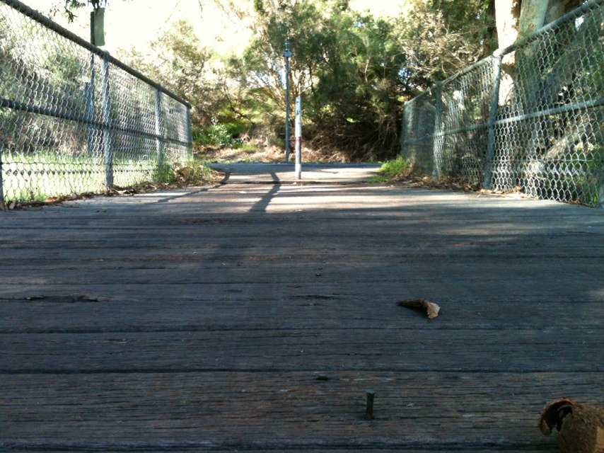
Notes: Very foggy morning - thanks for the App - just stumbled across it looking for an App for Senators On Line !
Address: Sydney Harbour Bridge
Map: http://maps.google.com/maps?q=-33.852597,151.210091
Coordinates: -33.852597,151.210091
Photo:
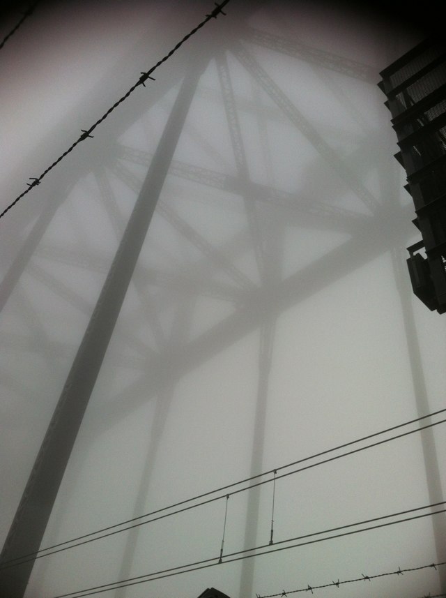
Notes: Cyclist killed at this roundabout on the weekend by a vehicle not giving way. Other cyclists including myself have had close calls at this roundabout as well Traffic travels through this roundabout very quickly and is very dangerous with blind spots- hazard to vehicles and cyclists
Address: Liverpool Road
Map: http://maps.google.com/maps?q=-37.849838,145.307151
Coordinates: -37.849838,145.307151
Photo:

Notes: Test report 2
Address: 116120 Balmain Street
Map: http://maps.google.com/maps?q=-37.830411,144.996151
Coordinates: -37.830411,144.996151
Photo:

Notes: Test report
Address: 242246 Swan Street
Map: http://maps.google.com/maps?q=-37.825734,144.998115
Coordinates: -37.825734,144.998115
Photo:

Notes: Test report 3
Address: 347 Mary Street
Map: http://maps.google.com/maps?q=-37.831820,145.000671
Coordinates: -37.831820,145.000671
Photo:
Notes: Test
Address: 116120 Balmain Street
Map: http://maps.google.com/maps?q=-37.830461,144.996256
Coordinates: -37.830461,144.996256
Photo:

Notes: Cyclists and other vehicles turning right from Waltham Street into Abbott St can not see motor vehicles coming from their right on Abbot St from the Railway Crossing. I know of two near misses just last week. The problem appears to be caused by vehicles parked in Abbott St (South side) and that Waltham St approach is a little lower than Abbott St which creates very poor visibility.
Address: 22 Abbott St.
Map: http://maps.google.com/maps?q=-37.948975,145.003723
Coordinates: -37.948975,145.003723
Photo:
Notes: thick sand wash over
Address: Robb Road
Map: http://maps.google.com/maps?q=-32.084085,115.753031
Coordinates: -32.084085,115.753031
Photo:
Notes: Caused me to have a serious fall with tar burns, pain and blood
Address: 421 Riversdale Road
Map: http://maps.google.com/maps?q=-37.830941,145.053579
Coordinates: -37.830941,145.053579
Photo:
Notes: Broken signage is in need of repair as it is moving around in the wind and presents a danger to users of the path.
Address: Maribyrnong Boulevard
Map: http://maps.google.com/maps?q=-37.791074,144.902566
Coordinates: -37.791074,144.902566
Photo:
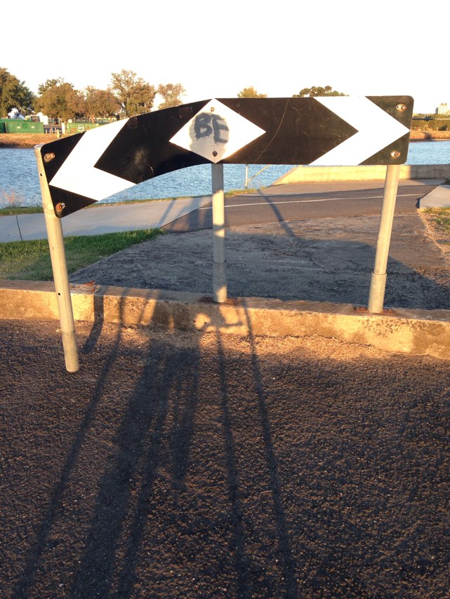
Notes: Foreshore path was completed several years ago from Bardon Park in Maylands to Banks Reserve in Mt Lawley, but bike route signage at intersection of East St and 4th Ave East still directs cyclist via old route up steep hill and alongside Guildford Road. Surely, the budget for the foreshore path could have included a few $$$ to update the route signage to take advantage of the new foreshore route. Apologies that photo is not clear enough to show detail on blue bike route sign, but it directs cyclists to the right along the road and up the steep hill in the background.
Address: 1 East St
Map: http://maps.google.com/maps?q=-31.936485,115.891800
Coordinates: -31.936485,115.891800
Photo:
Notes: Bike lane stops after a down hill run just in time for a cross intersection at traffic lights. Result? Knocked off my bike by turning vehicle not giving way.
Address: 167 Hampton Road
Map: http://maps.google.com/maps?q=-32.067652,115.757545
Coordinates: -32.067652,115.757545
Photo:

Notes: PTA temp busport construction - traffic mgt team FAIL
Address: 70 Roe Street
Map: http://maps.google.com/maps?q=-31.949055,115.856409
Coordinates: -31.949055,115.856409
Photo:
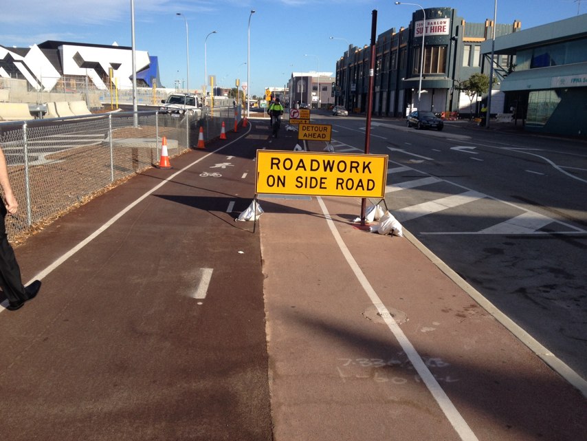
Notes: Lack of speed policing. Bikes commonly moving amongst crowds at 20kph or more. Compounds the risk considerably. Also gives those of us who ride with care and caution a bad name.
Address: Promenade
Map: http://maps.google.com/maps?q=-37.819939,144.965744
Coordinates: -37.819939,144.965744
Photo:

Notes: As riders come down Watson Rd from bridge to Argyle St, one of the most popular cycle commuter routes in Sydney, there are always busses parked very close to the intersection blocking the view down Argyle St to the right. A frankly very stupid and dangerous place for them to be parked.. If they were parked just a bit further down the street, or better, to the left (western) side where there are bus bays, it would provide better vision for riders (and indeed any other traffic) as they come down the hill and turn right into Argyle St to head into the Cbd.
Address: Argyle Street
Map: http://maps.google.com/maps?q=-33.858495,151.204517
Coordinates: -33.858495,151.204517
Photo:

Notes: Wheel trap!
Address: 600 Lorimer Street
Map: http://maps.google.com/maps?q=-37.821951,144.915556
Coordinates: -37.821951,144.915556
Photo:
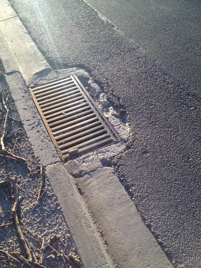
Notes: Wheel trap 2
Address: 748766 Lorimer Street
Map: http://maps.google.com/maps?q=-37.821269,144.927585
Coordinates: -37.821269,144.927585
Photo:
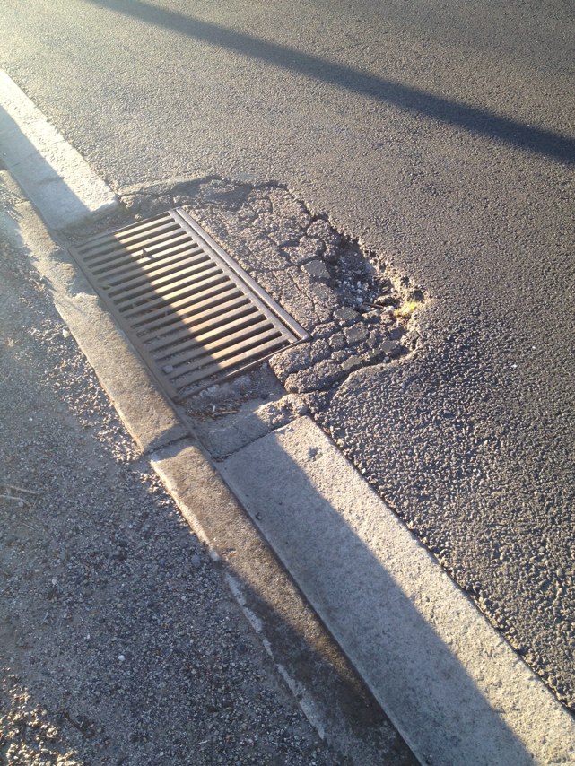
Notes: Missing bluestone makes a deep hole in a very awkward position. Corner of Burke rd and Brunel st east Malvern (see road sign in photo)
Address: 86 Burke Road
Map: http://maps.google.com/maps?q=-37.869574,145.049518
Coordinates: -37.869574,145.049518
Photo:
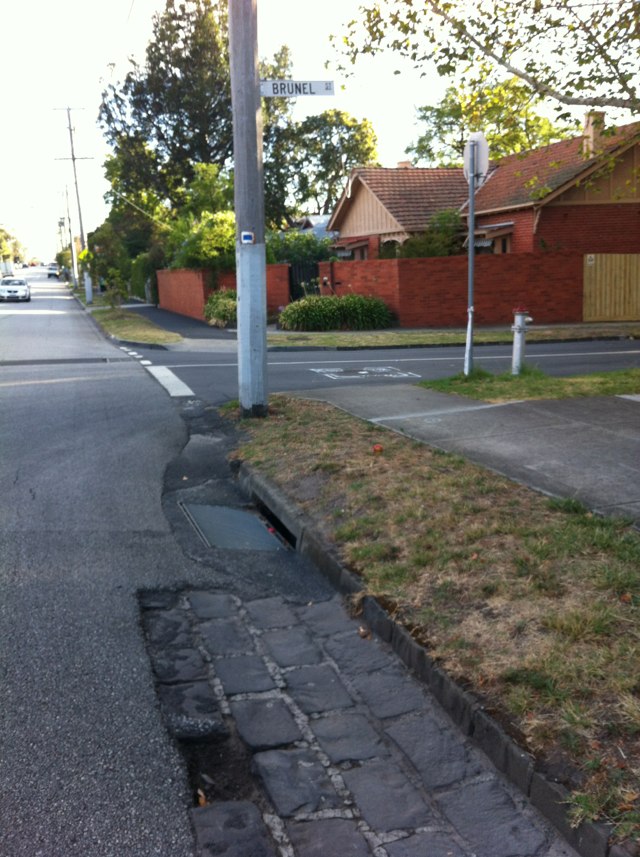
Notes: Tonkin Highway path ends! There are bicycle lane markings on the road but then a sign saying cyclists not allowed.
Address: Tonkin Highway
Map: http://maps.google.com/maps?q=-31.995541,115.993298
Coordinates: -31.995541,115.993298
Photo:
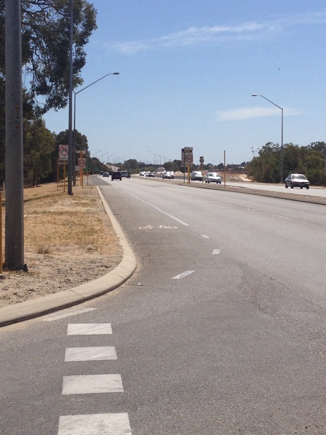
Notes: Town of Cambridge constructing a narrow road with centre islands. No room for motor vehicles to overtake. No allowance for bicycles.
Address: 123 Cambridge Street
Map: http://maps.google.com/maps?q=-31.940740,115.833119
Coordinates: -31.940740,115.833119
Photo:

Notes: Wide shoulder but very dangerous surface. Virtually in rideable and forces riders to ride in traffic
Address: Whitfords Avenue
Map: http://maps.google.com/maps?q=-31.801127,115.811701
Coordinates: -31.801127,115.811701
Photo:

Notes: Shared path crossing of The Boulevard has been moved approx 20 m west, but PBN route signs have not been relocated to location of new path junction. Similar situation at intersection of The Boulevard and Durston Rd, where new roundabout had resulted in realignment of shared paths and PBN signs are now in the wrong place. These locations a indicative of a systemic problem in that the route signage for PBN routes is not kept up to date, even for very minor changes in infrastructure. It was agreed with local governments at the time the signage was installed that Dept of Transport would fund both the manufacture and installation of the signage provided local govts looked after ongoing maintenance but this agreement has not been honoured, with the result that the route signage on many PBN routes is missing or incorrect. Overall, the route signage is a mess, and severely undermines the usefullness of the PBN local bicycle routes.
Address: 52 Elphin St
Map: http://maps.google.com/maps?q=-31.931204,115.780282
Coordinates: -31.931204,115.780282
Photo:
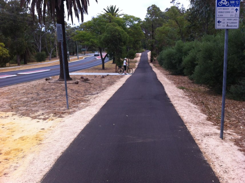
Notes: Glass on marmion ave, north bound after Edinburgh drive, Kinross.
Address: 3 Holyhead Green
Map: http://maps.google.com/maps?q=-31.695317,115.711120
Coordinates: -31.695317,115.711120
Photo:

Notes: (null)
Address: 206 Hampden Road
Map: http://maps.google.com/maps?q=-31.974238,115.813494
Coordinates: -31.974238,115.813494
Photo:

Notes: (null)
Address: Hospital Avenue
Map: http://maps.google.com/maps?q=-31.966802,115.816580
Coordinates: -31.966802,115.816580
Photo:

Notes: (null)
Address: Smyth Road
Map: http://maps.google.com/maps?q=-31.972141,115.805907
Coordinates: -31.972141,115.805907
Photo:

Notes: Bike path exists at either end of carpark but no dedicated path to link them. Dangerous mix of cars, pedestrians, cyclists and one way entrance Bayswater train station
Address: 1 Railway parade
Map: http://maps.google.com/maps?q=-31.899485,115.957932
Coordinates: -31.899485,115.957932
Photo:

Notes: (null)
Address: 41 Aberdare Road
Map: http://maps.google.com/maps?q=-31.964504,115.812307
Coordinates: -31.964504,115.812307
Photo:

Notes: Nails in plank with other btanches placed around
Address: Princes Highway Exit
Map: http://maps.google.com/maps?q=-37.969079,145.194045
Coordinates: -37.969079,145.194045
Photo:
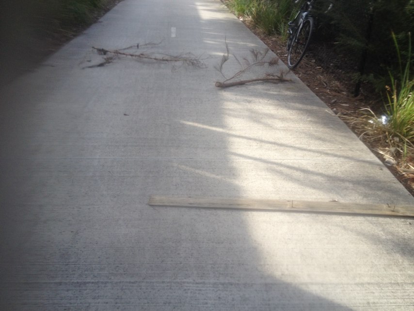
Notes: Tiles ( white lumpy ones for vision impaired ) on bike path at Waterfront Way are broken and starting to fall apart.
Address: Waterfront Way
Map: http://maps.google.com/maps?q=-37.810798,144.938818
Coordinates: -37.810798,144.938818
Photo:

Notes: There are a number of badly patched pot holes and a rough unsealed shoulder in a location where the road narrows and there is also a central traffic island. Two friends crashed as a result of the pole holes and required ambulance transport and hospital treatment.
Address: 249 Templestowe Road
Map: http://maps.google.com/maps?q=-37.755847,145.108796
Coordinates: -37.755847,145.108796
Photo:

Notes: Tree across path
Address: 11 Earlsferry Court
Map: http://maps.google.com/maps?q=-31.899831,115.958709
Coordinates: -31.899831,115.958709
Photo:
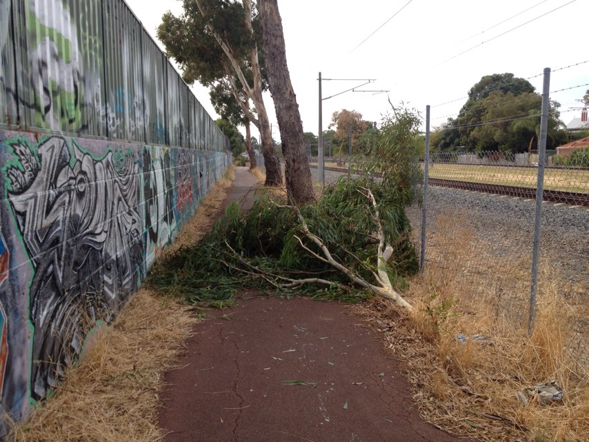
Notes: Dangerous longitudinal gap between sections of concrete path.
Address: 101 S Perth Esplanade
Map: http://maps.google.com/maps?q=-31.972952,115.856409
Coordinates: -31.972952,115.856409
Photo:
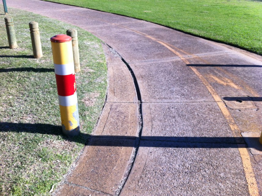
Notes: Although there is a good quality shared path along the north side of Victoria Park Drive, there are no kerb ramps or crossing points to provide access for cyclists and pedestrians to/from the residential developments on the south side. An obvious example is opposite The Circus but all side streets into the residential complex should have ramps, etc. to link with the shared path.
Address: 1 The Circus
Map: http://maps.google.com/maps?q=-31.956853,115.898816
Coordinates: -31.956853,115.898816
Photo:
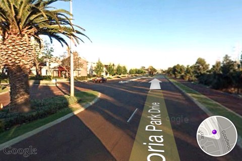
Notes: Missing drain cover in middle of path! Emergency attention required.
Address: Queensbridge Street
Map: http://maps.google.com/maps?q=-37.821221,144.961772
Coordinates: -37.821221,144.961772
Photo:
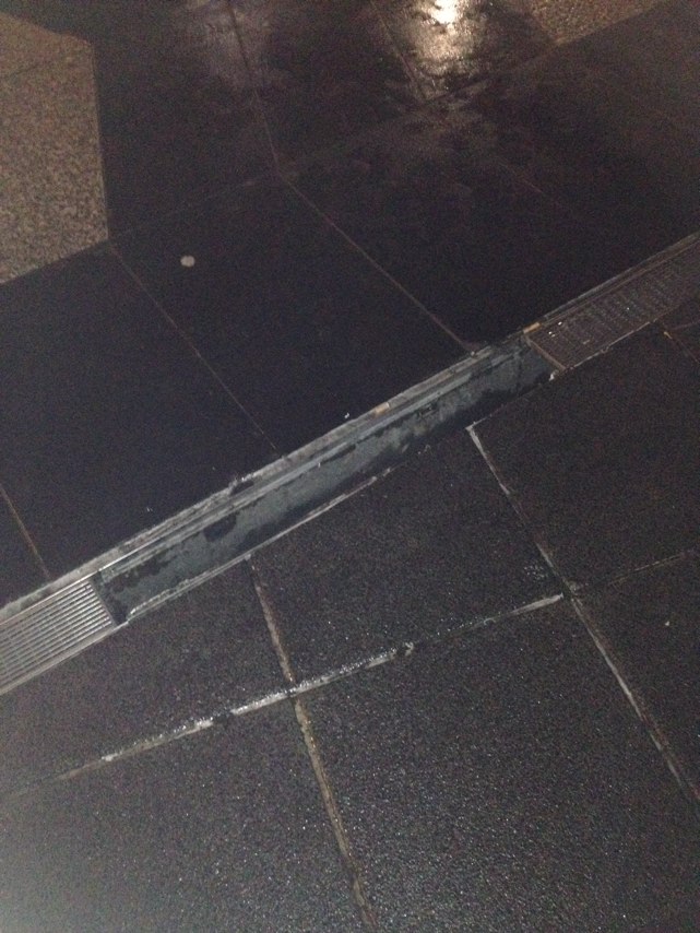
Notes: Very narrow bike lane Potholes in bike lane Very dangerous intersection as there are blind spots and traffic driving close
Address: Midland Highway
Map: http://maps.google.com/maps?q=-37.046508,144.220772
Coordinates: -37.046508,144.220772
Photo:

Notes: The path for the length of the Midland Hwy between Harcourt and Castlemaine North is generally dirty, with pieces of glass and other sharp objects. It has many potholes, drivers are regularly driving very close to the bike path, including trucks.
Address: Midland Highway
Map: http://maps.google.com/maps?q=-37.038786,144.226952
Coordinates: -37.038786,144.226952
Photo:

Notes: A very busy route for cyclists riding to the train station and there is no bike path anywhere along Kennedy St. Please put one in?
Address: 24 Kennedy Street
Map: http://maps.google.com/maps?q=-37.063814,144.214473
Coordinates: -37.063814,144.214473
Photo:

Notes: I understand the need for work to be done but passing this jackhammer this morning the operator started work as I drew alongside. The path is very close to the work and leaves no option to move further away. No spotters for traffic. Very high risk of stone chips injuring people.
Address: 2 McLaren Street
Map: http://maps.google.com/maps?q=-34.931753,138.608580
Coordinates: -34.931753,138.608580
Photo:

Notes: Bike lane markings on Victoria St completely faded - need a repaint please
Address: 102 Victoria Street
Map: http://maps.google.com/maps?q=-37.860213,144.889323
Coordinates: -37.860213,144.889323
Photo:

Notes: Cycle path leads directly to a curbside with steep drop. No cycle path continuation following end of path. Near Swanbourne train station.
Address: 136150 Railway Street
Map: http://maps.google.com/maps?q=-31.983258,115.770181
Coordinates: -31.983258,115.770181
Photo:
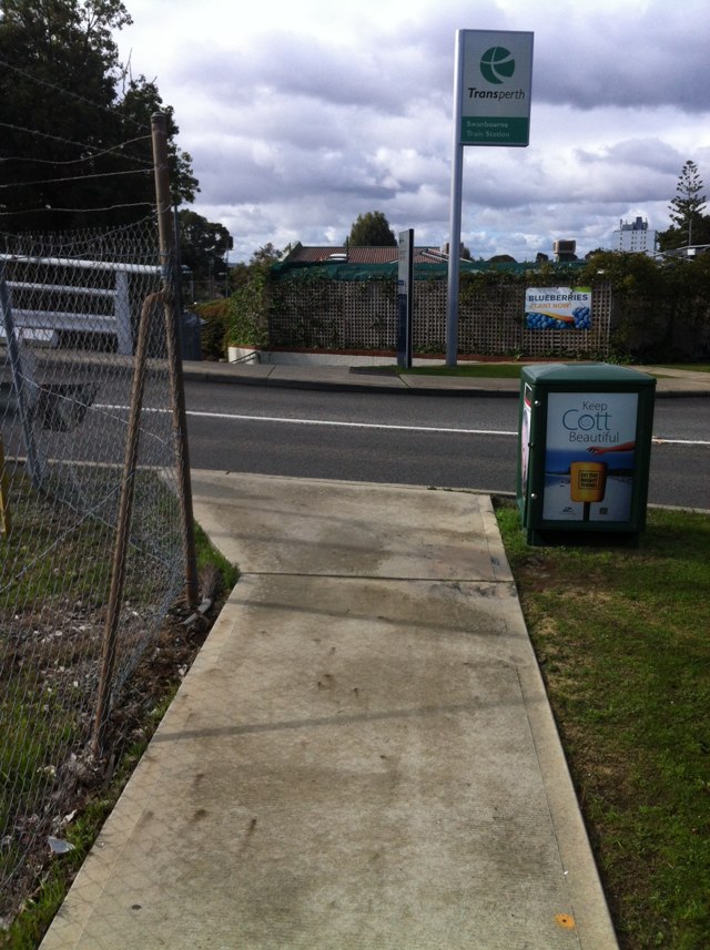
Notes: Lack of Shared Path connection from Centro Ave to Juniper Bank Way. For over 10 years, the City to Sea Greenway was discontinuous at this point due to lack of space past roundabout Following purchase by City of Subiaco of industrial site at south-west corner of roundabout, a path was constructed but it is a footpath only and not legal for cyclists to use. The present cycle path on Centro Ave is blocked by kerbing and diverted to the east side of the roundabout, forcing cyclists to cross 3 roads to continue on City to Sea Greenway. The existing kerb barrier should be removed and a shared path connection established to provide a direct link for the City to Sea Greenway. The City to Sea Greenway was supposed to be a major, regional cycle route but the concept is degraded by the poorly thought out design at this particular point.
Address: 9 Centro Ave
Map: http://maps.google.com/maps?q=-31.944624,115.820290
Coordinates: -31.944624,115.820290
Photo:
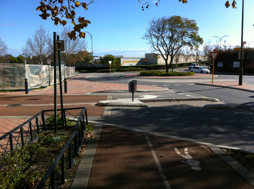
Notes: Pothole has been here for several months and is growing faster now with the rain
Address: 33 Southern Cross Drive
Map: http://maps.google.com/maps?q=-35.090621,138.592560
Coordinates: -35.090621,138.592560
Photo:
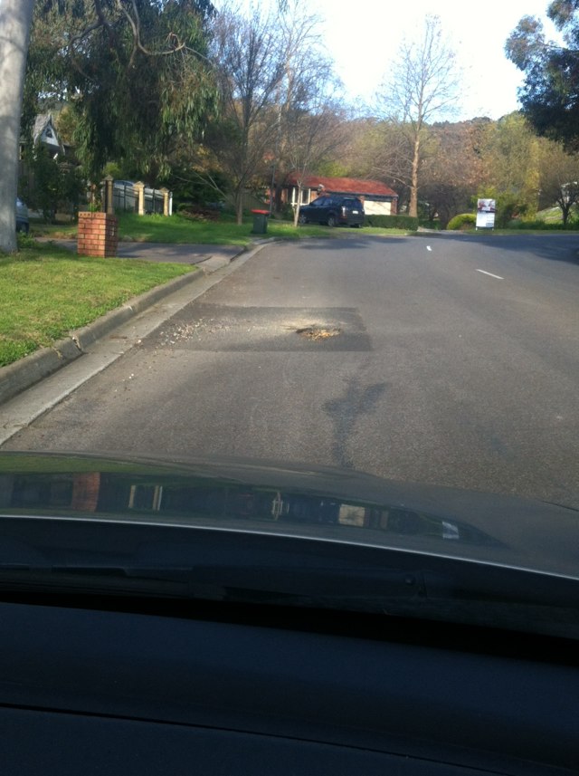
Notes: Raised road around manhole cover
Address: 36 McHarg Road
Map: http://maps.google.com/maps?q=-35.092315,138.593908
Coordinates: -35.092315,138.593908
Photo:
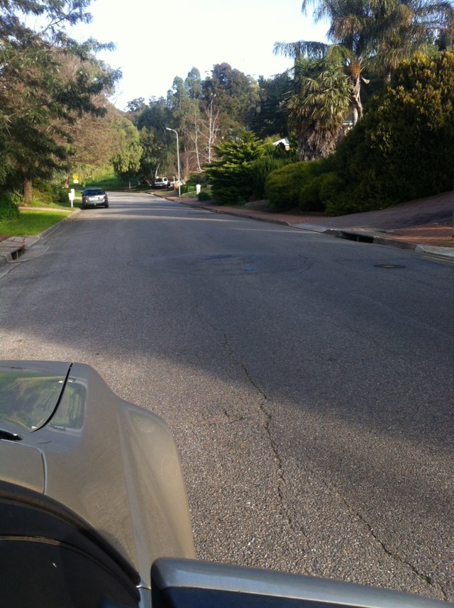
Notes: This is a dirt track. It could connect the Tarmac track further up with the cycle network across the road.
Address: 11331135 Rockingham Road
Map: http://maps.google.com/maps?q=-32.183972,115.791716
Coordinates: -32.183972,115.791716
Photo:

Notes: Frequent land slides in the area between Christies Creek and Bains Road.
Address: 1830 Seaview Road
Map: http://maps.google.com/maps?q=-35.117651,138.529542
Coordinates: -35.117651,138.529542
Photo:

Notes: Very large pothole on road next to bus stop 45 ( slightly west)
Address: 265 Pimpala Road
Map: http://maps.google.com/maps?q=-35.103376,138.558694
Coordinates: -35.103376,138.558694
Photo:

Notes: Raised paver strip crossing bike path near pedestrian crossing is broken and fragments lifting up.
Address: 131 Harbour Esplanade
Map: http://maps.google.com/maps?q=-37.817019,144.945492
Coordinates: -37.817019,144.945492
Photo:

Notes: Heading SW - cycle path is potholed, cracked, uneven, strewn with glass, has trees planted in the middle, regularly used as a refuse bin standing area on collection days, awkwardly cambered, particularly near the park at the northerly end of the road
Address: Queens Road
Map: http://maps.google.com/maps?q=-19.278768,146.809959
Coordinates: -19.278768,146.809959
Photo:

Notes: Been like this a long time. Note mark where person fell. Dangerous to ride on. Seem to have occurred as part of intersection works for southern expressway.
Address: Old South Road
Map: http://maps.google.com/maps?q=-35.083591,138.545512
Coordinates: -35.083591,138.545512
Photo:
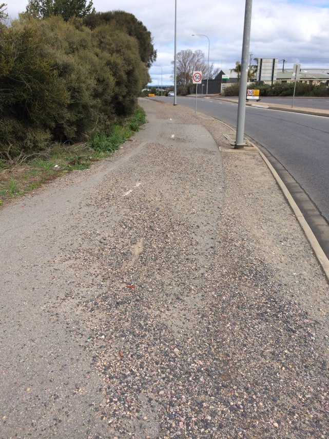
Notes: Bus stop with ad shell-no visibility, danger to pedestrians and cyclists-numerous along Alison rd
Address: Alison rd near darley rd
Map: http://maps.google.com/maps?q=-33.906559,151.231339
Coordinates: -33.906559,151.231339
Photo:

Notes: No bike path, footpath is in shocking dangerous state!
Address: 3133 Ricketty Street
Map: http://maps.google.com/maps?q=-33.921301,151.182988
Coordinates: -33.921301,151.182988
Photo:
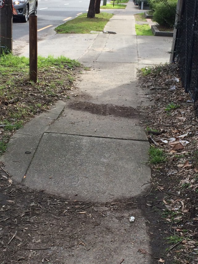
Notes: I have nearly been killed by a tram inGertrude St as the bluestone footpath extends onto the road unneccesarily.
Address: 160164 Gertrude Street
Map: http://maps.google.com/maps?q=-37.806054,144.979936
Coordinates: -37.806054,144.979936
Photo:
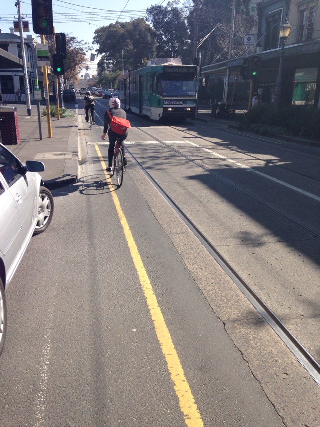
Notes: There is a lot of sand left here .no way to go through
Address: The Promenade
Map: http://maps.google.com/maps?q=-31.778602,115.965851
Coordinates: -31.778602,115.965851
Photo:
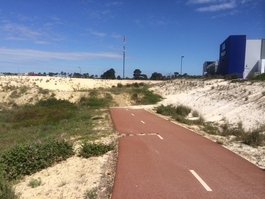
Notes: Grown trees along of the path
Address: 5258 Granesse Drive
Map: http://maps.google.com/maps?q=-31.777237,115.966673
Coordinates: -31.777237,115.966673
Photo:
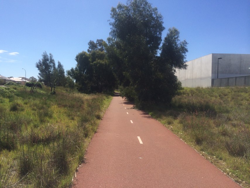
Notes: Bike path is too thin. Recently someone crashes and shattered their elbow!
Address: Nardella Way
Map: http://maps.google.com/maps?q=-37.764770,144.960150
Coordinates: -37.764770,144.960150
Photo:

Notes: (null)
Address: Roe Highway
Map: http://maps.google.com/maps?q=-31.985369,115.988413
Coordinates: -31.985369,115.988413
Photo:

Notes: Has been like this for at least 2 weeks.
Address: Roe Street
Map: http://maps.google.com/maps?q=-31.945828,115.849099
Coordinates: -31.945828,115.849099
Photo:
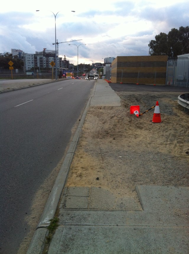
Notes: "No Entry" signs on recently-upgraded shared path along Kwinana Fwy are a discouragement to legitimate path users. Although the "fine print" on the signs permits cyclists, what about pedestrians? These signs are unnecessary on any Shared Path as only cyclists and pedestrians are permitted to use the path anyway as well as, it would be assumed, authorised service vehicles. Other motor vehicles are clearly banned from shared paths by definition.
Address: Kwinana Fwy
Map: http://maps.google.com/maps?q=-31.968095,115.845776
Coordinates: -31.968095,115.845776
Photo:
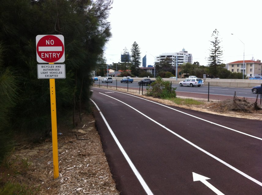
Notes: Wheel trap
Address: 628640 Lorimer Street
Map: http://maps.google.com/maps?q=-37.820891,144.920081
Coordinates: -37.820891,144.920081
Photo:
Notes: Manhole cover open with barrier but no warning or traffic management
Address: 199 Harbour Esplanade
Map: http://maps.google.com/maps?q=-37.814973,144.944772
Coordinates: -37.814973,144.944772
Photo:

Notes: New bollards on Dandenong Road entrance to the park opposite the Urban Forrest in Glen Eira are so big and narrow you are barely able to get your bike through on foot, let alone with agile riding. What were they thinking?
Address: 1254 Dandenong Road
Map: http://maps.google.com/maps?q=-37.885550,145.072881
Coordinates: -37.885550,145.072881
Photo:
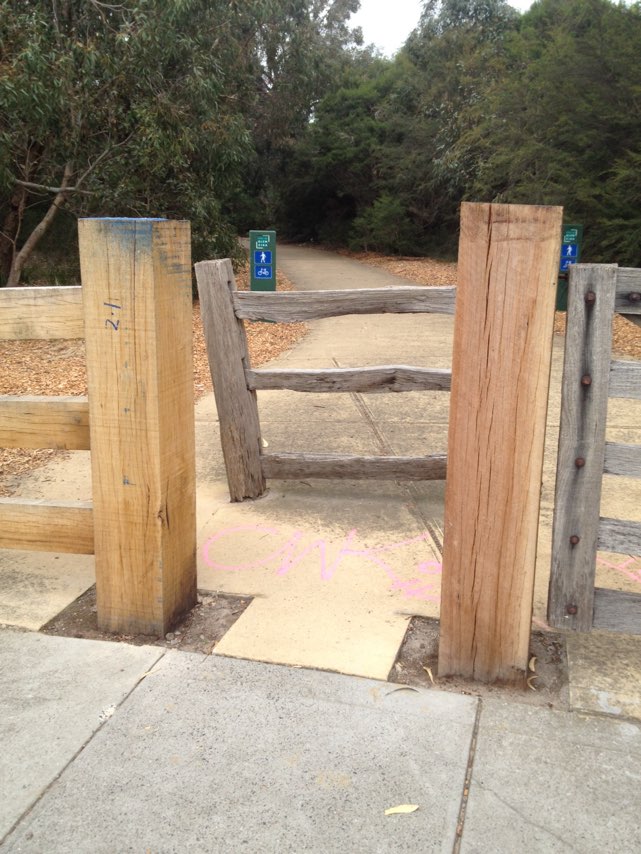
Notes: Hamilton Lane, Cammeray is designated cycle way (shared road). The problem is that many cars coming from Marks St and Quarry St driving south on this road usually cut the corner. I have ridden this road literally hundreds of times and am aware of this danger. On Thursday 16 Oct 2014 I was cautiously riding my bike north down Hamilton Lane and was confronted by a car coming in the opposite direction on my side of the road where the bend is the tightest. I tried to avoid hitting the car and pull over as much as I could to my left. I had little space to manoeuvre and in braking urgently went over my handlebars breaking C1 and C2 neck vertebrae. I was told at RNSH that I was millimetres from being a quadriplegic. I am faced with a 5-6 month recovery period. Something needs to be done urgently. I have some ideas and would be happy to shared then with the relevant authorities.
Address: Hamilton Lane
Map: http://maps.google.com/maps?q=-33.819398,151.207731
Coordinates: -33.819398,151.207731
Photo:

Notes: There is a large amount of debris on the shoulders of the highway between Beresfield and sandgate. It is particularly bad around tarro and Hexham. This makes it hazardous to negotiate whilst trying to avoid stones, screws, nails, timber, rubbish etc there have been reports by fellow cyclists of an increase in flat tyres along this section of road as a result.
Address: New England Hwy
Map: http://maps.google.com/maps?q=-32.802879,151.640488
Coordinates: -32.802879,151.640488
Photo:

Notes: A bike path from the lights at hungry jacks lights under the Hexham bridge heading north west bound towards tarro over pass and ending after the merging lane would drastically increase the safety of cyclists heading in this direction from cars who speed up the inside lane to overtake trucks, slower vehicles etc. I have many times feared for my life and safety along this stretch of road.
Address: New england hwy
Map: http://maps.google.com/maps?q=-32.820877,151.681946
Coordinates: -32.820877,151.681946
Photo:

Notes: 100 west of Plenty Rd on the M80 trail. Large tree bough across track
Address: Plenty Road Exit
Map: http://maps.google.com/maps?q=-37.685872,145.066475
Coordinates: -37.685872,145.066475
Photo:
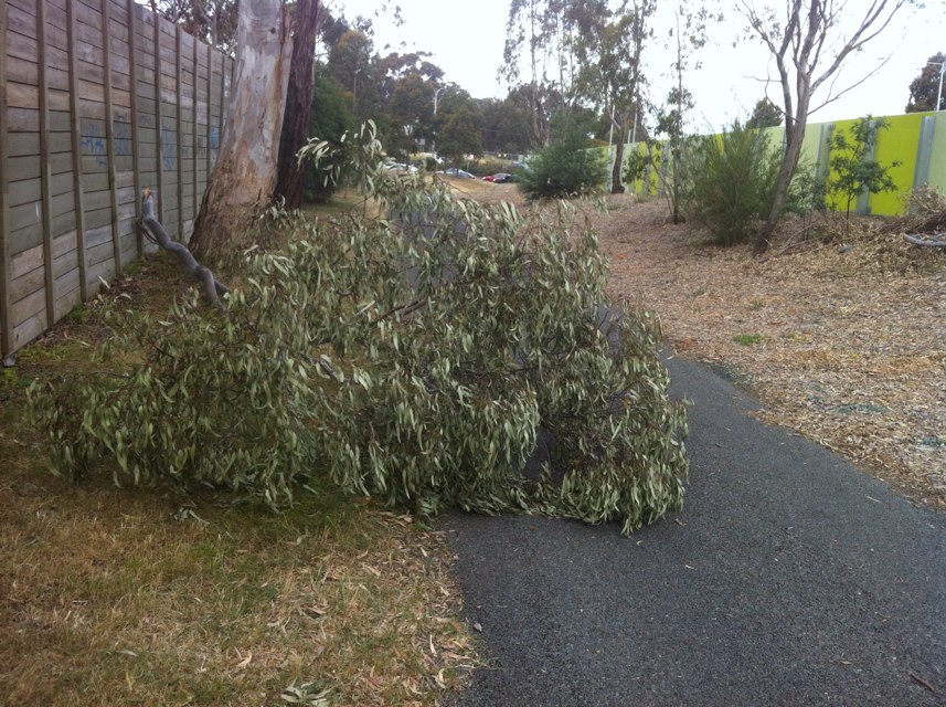
Notes: Bog now frying out to hard rutted mess. Goes for about 20 m
Address: McKimmies Road
Map: http://maps.google.com/maps?q=-37.675665,145.044460
Coordinates: -37.675665,145.044460
Photo:
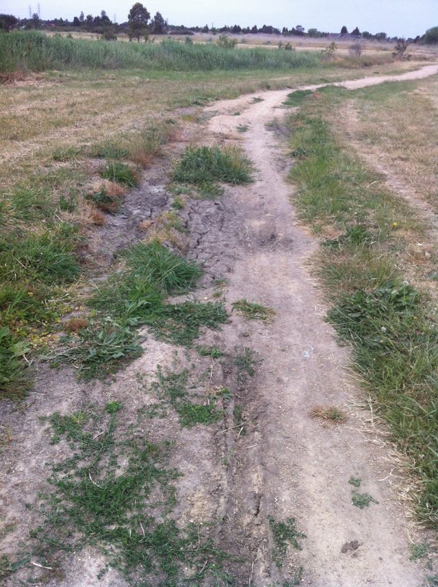
Notes: Cyclone fence pulled down across trail. Rear of factories on m80 trail We pushed it up out of the way for now
Address: 46 Enterprise Drive
Map: http://maps.google.com/maps?q=-37.685914,145.073420
Coordinates: -37.685914,145.073420
Photo:
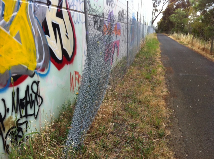
Notes: Trees overhanging bike path - now too low - need a prune
Address: 364376 Albert Street
Map: http://maps.google.com/maps?q=-37.809805,144.978794
Coordinates: -37.809805,144.978794
Photo:
Notes: The new Gribble rd bypass. Just used it today. Beautifully smooth. Shame the rest on the freeway north bike path requires a full suspension mountain bike.
Address: Gribble rd
Map: http://maps.google.com/maps?q=-31.863522,115.799316
Coordinates: -31.863522,115.799316
Photo:

Notes: The bike path ends and there is no legal way to cross king st from Mary st. You can only turn left. To get to the next part of the bike path you must dismount, cross the road, and walk your bike one block on the footpath before you can join the Wilson st bike paths . Bike connection fail.
Address: 119 Mary Street
Map: http://maps.google.com/maps?q=-33.896271,151.180004
Coordinates: -33.896271,151.180004
Photo:

Notes: Re-routed bike path to eliminate a dangerous merge point. Well done
Address: Tresise St
Map: http://maps.google.com/maps?q=-31.850948,115.796219
Coordinates: -31.850948,115.796219
Photo:

Notes: Cement poured on bike path at intersection. Uneven surface
Address: East parade overpass over graham farmer freeway
Map: http://maps.google.com/maps?q=-31.947912,115.874786
Coordinates: -31.947912,115.874786
Photo:
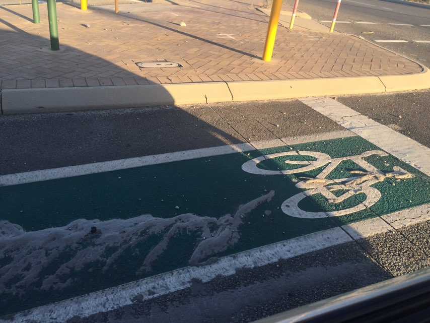
Notes: Pedestrians need space too. These cyclist are creating an obstacle for other footpath users.
Address: 263 Kensington Rd
Map: http://maps.google.com/maps?q=-34.926178,138.650970
Coordinates: -34.926178,138.650970
Photo:
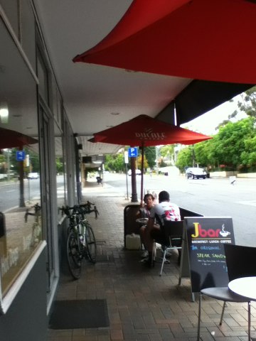
Notes: Fence down over M80 trail
Address: Plenty Road Exit
Map: http://maps.google.com/maps?q=-37.687041,145.072790
Coordinates: -37.687041,145.072790
Photo:
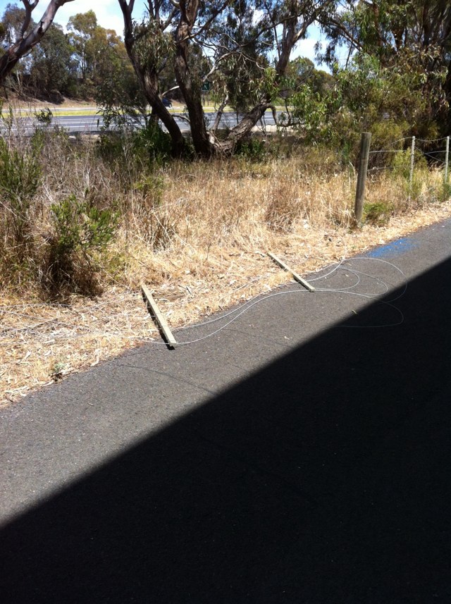
Notes: Chicane too tight even for normal bikes let alone tandems tag alongs etc. opposite urban forest on off-road path
Address: Dandenong rd
Map: http://maps.google.com/maps?q=-37.911552,145.122269
Coordinates: -37.911552,145.122269
Photo:
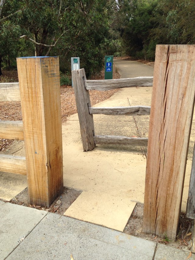
Notes: Albany Health Campus. Undercover secure bicycle parking enclosure dismantled 3 months ago for building work, no suitable alternative provided, "bicycles prohibited" in buildings. So much for encouraging healthy commuting and lifestyle!
Address: 30 Warden Avenue
Map: http://maps.google.com/maps?q=-35.003330,117.904770
Coordinates: -35.003330,117.904770
Photo:

Notes: Corner park and Clarendon, streets South Melbourne, South East corner, requires surface redoing. Uneven, bumpy and dangerous - and it is a tram stop, where control of bike is essential.
Address: 50 Watson Road
Map: http://maps.google.com/maps?q=-38.268532,145.020466
Coordinates: -38.268532,145.020466
Photo:

Notes: Since installing a new tram stop in Elgin St near Lygon St there is now no longer any bike lane heading west towards the Uni. I have been honked at and intimidated by cars because we have to share this lane! How is this making cycling near the Uni safer!! Unbelievable considering how many people cycle here!! Get rid of cars parked here to allow safe cycling before someone gets killed!
Address: Elgin and Lygon
Map: http://maps.google.com/maps?q=-37.797100,144.967651
Coordinates: -37.797100,144.967651
Photo:
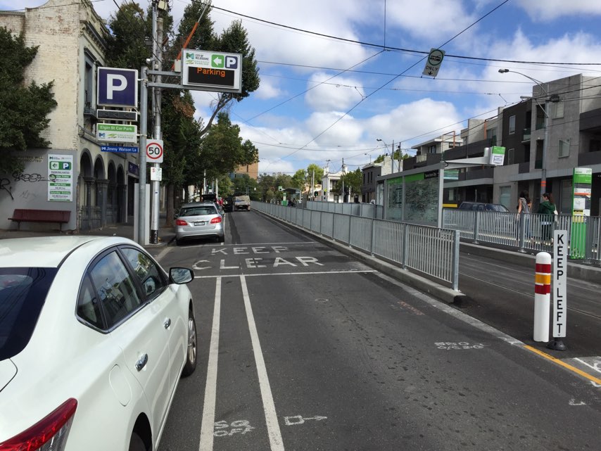
Notes: When riding from the northern suburbs down to Perth, the section from Greenwood station up to the pedestrian bridge had not been upgraded and is uneven with lifted slabs and patches of previous repairs.
Address: Mitchell Freeway
Map: http://maps.google.com/maps?q=-31.819946,115.783550
Coordinates: -31.819946,115.783550
Photo:

Notes: A casual 20 minute inspection of Fiona Stanley Hospital has revealed serious deficiencies in cycling infrastructure and non-conformance to accepted standards and guideline including: 1. Dangerous parallel bar drainage grates in a car park (Staff car park 6) immediately adjacent to a main cycling access route just south of the hospital. The danger posed by these grates has been known for many years and they should never be used in any road or car park areas accessible to the public. 2. Although many of the internal roads have "bike lanes", many do not have bicycle logos to indicate their status. Where bicycle logos have been applied, they are microscopic in size compared to the relevant standards. 3. Various sub-standard designs of kerb ramps on paths between Murdoch Train Station and the hospital. Many of the kerb ramps do not comply with the accepted standards for wheelchair and bicycle access. The photograph shows one example in which the usable width of the kerb ramp is approximately half the width of the path on either side of the road. 4. None of the paths in the vicinity of the hospital are signed as shared paths so it is not legal for adult cyclists to use them. Paths which are intended for use by cyclists should be designated as shared paths by signs and/or pavement markings. 5. Lack of directional signs indicating intended/preferred bicycle routes, for example, to and from the nearby Principal Shared Path along the Kwinana Freeway. Particularly on the north side of the hospital, the network of paths and roads is very confusing. 6. Bicycle parking rails (Qty 12) installed near the hospital main entrance do not comply with Australian standards and guidelines. The flat stainless steel bar design makes it difficult or impossible to use high-security U-locks to lock bike frame and front wheel, depending on the style of bike and size of U-lock. The flat bar design is more likely to damage bikes compared to the recommended steel tube design. The decorative timber panels at one end of the parking rails prevent any use of U-locks at that end, and may make it impossible to lock a bike to the rail with a U-lock if another bike is already locked to the other side of the rail, thus reducing the available capacity. 7. There were no obvious bike parking rails provided at other entrances to the hospital other than the main entrance. The online hospital site map shows eight designated entry points, but does not indicate any bicycle parking locations or bicycle access routes. The hospital web site does indicate that bicycle parking is provided at the eastern entrance to the main hospital as well as the main entrance. Bicycle parking should also be provided at the other designated entry points for specific hospital departments.
Address: 1 Fiona Wood Rd
Map: http://maps.google.com/maps?q=-32.071220,115.848770
Coordinates: -32.071220,115.848770
Photo:
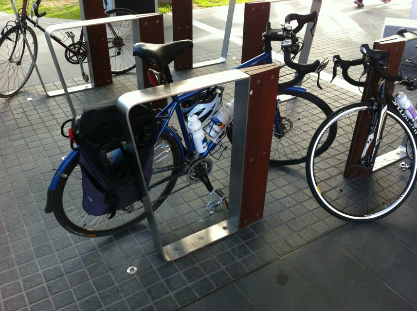
Notes: Vehicles trying to turn left and cut off bicycles travelling left or straight.
Address: Corner of Clyde Street and Chatham Road
Map: http://maps.google.com/maps?q=-32.912643,151.739578
Coordinates: -32.912643,151.739578
Photo:

Notes: Crosovers over hutton street and fwy Kerbs are poor state
Address: Hutton
Map: http://maps.google.com/maps?q=-31.900848,115.821648
Coordinates: -31.900848,115.821648
Photo:

Notes: Welshpool rd hill needs bike lane marked uphill
Address: 5 Waterloo Crescent
Map: http://maps.google.com/maps?q=-31.998820,116.040060
Coordinates: -31.998820,116.040060
Photo:

Notes: Mundaring Weir Rd needs bicycle lanes marked(road widened in places) from Kalamunda to roundabout near Mundaring Weir
Address: 5 Waterloo Crescent
Map: http://maps.google.com/maps?q=-31.998615,116.039819
Coordinates: -31.998615,116.039819
Photo:

Notes: (null)
Address: 20 Knutsford Street
Map: http://maps.google.com/maps?q=-32.052614,115.761426
Coordinates: -32.052614,115.761426
Photo:
Notes: Kalamunda Rd hill needs bicycle lane marked going uphill Watsonia Rd to roundabout Kalamunda.
Address: 5 Waterloo Crescent
Map: http://maps.google.com/maps?q=-31.998685,116.040084
Coordinates: -31.998685,116.040084
Photo:

Notes: (null)
Address: 24 Stack Street
Map: http://maps.google.com/maps?q=-32.055841,115.762719
Coordinates: -32.055841,115.762719
Photo:
Notes: (null)
Address: 2048 Amherst Street
Map: http://maps.google.com/maps?q=-32.055676,115.762498
Coordinates: -32.055676,115.762498
Photo:
Notes: Intersection Hamersley Rd/Railway Rd needs pedestrian bicycle traffic lights leading to Daglish rail station subway and major cycle way on other side
Address: 87 Gloster St
Map: http://maps.google.com/maps?q=-31.955824,115.815392
Coordinates: -31.955824,115.815392
Photo:
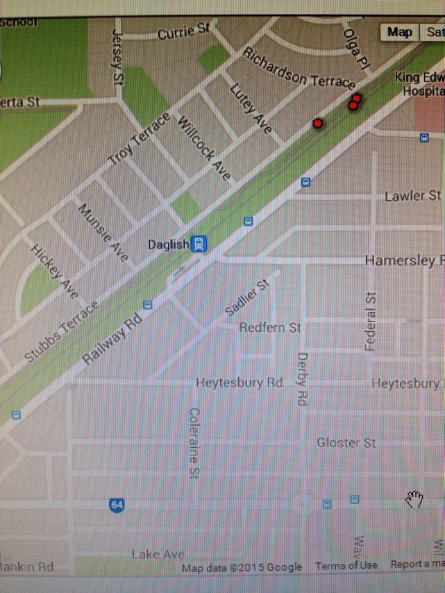
Notes: It is great to see the PSP has been reinstated along the north side of Perth Arena. However, the bollards which have been installed in the path are a serious hazard to cyclists. They do not conform to any recognised standards with respect to placement (2 offset bollards vs 1 central), reflective treatment or warning pavement markings. Whichever authority is responsible for this path would clearly be vulnerable to legal action in the (quite likely) event that a cyclist is injured as a result of a collision with them. Also, there is no kerb ramp at the eastern end of the new path to link up with the continuing PSP.
Address: 600 Wellington St
Map: http://maps.google.com/maps?q=-31.949018,115.853386
Coordinates: -31.949018,115.853386
Photo:
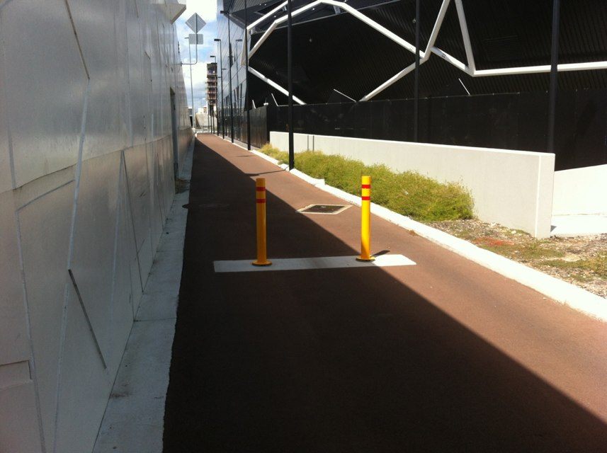
Notes: Lights have been out for more than a year!!
Address: 53 Claremont Crescent
Map: http://maps.google.com/maps?q=-31.981340,115.775096
Coordinates: -31.981340,115.775096
Photo:

Notes: A bay is provided for cars to do u-turns. But in this situation cars can(and do) fail to see approaching cyclists.
Address: Cnr mends st and the esplanade
Map: http://maps.google.com/maps?q=-31.971596,115.853195
Coordinates: -31.971596,115.853195
Photo:
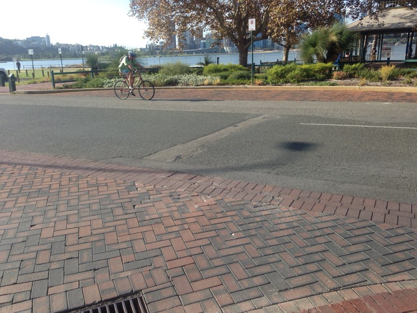
Notes: The bike path along railway parade has a gap in at at Bayswater train station forcing riders to navigate the carpark. Seems badly planned for such a high traffic area. However, the bike path either side of this area is fantastic for pedestrians and cyclists.
Address: Whatley cres
Map: http://maps.google.com/maps?q=-31.918859,115.911270
Coordinates: -31.918859,115.911270
Photo:

Notes: Huge bitumen mound on side of the road in bike lane - fallen off twice due to it.
Address: Kingsford smith drice
Map: http://maps.google.com/maps?q=-27.439413,153.063507
Coordinates: -27.439413,153.063507
Photo:

Notes: Hi Guys Bike path just stops at North Beach primary school. This is the Reid Hwy bike path just needs to be extended to meet west coast drive path. Too dangerous to ride on road and footpath dodgy too - blind driveways, uneven path, blind entry to shopping centre. Path could be run past new park development down beachton rd. Cheers Steve
Address: 67 North beach rd
Map: http://maps.google.com/maps?q=-31.861004,115.759148
Coordinates: -31.861004,115.759148
Photo:

Notes: Between Bushmead road and Great Eastern Bypass. I am an Aviation Rescue Fire Fighter at Perth Airport. I have used this road a few times to get to work. This road is a death trap and is to be avoided at all costs due to pot holes that force you into the path of large trucks that are less than 1m from you at the best because they have no room to avoid vehicles travelling the other way. As a direct result of this stretch of road I will ride through Midland to the domestic terminal or not even ride at all. It is that bad. I am happy to talk more if needed.
Address: Stirling crescent
Map: http://maps.google.com/maps?q=-31.896761,115.995796
Coordinates: -31.896761,115.995796
Photo:

Notes: Lack tread rear tyre.
Address: 85 Park road
Map: http://maps.google.com/maps?q=26.010801,-80.175484
Coordinates: 26.010801,-80.175484
Photo:

Notes: Where the bike path crosses Cedric Street. The crossing is very dangerous and during peak periods relies on cars waving you across.
Address: Cedric Street
Map: http://maps.google.com/maps?q=-31.883415,115.809853
Coordinates: -31.883415,115.809853
Photo:

Notes: Hi, There is a point on guildford rd bike path heading north east while on the RHS of guildford road after lord st where their is a bus stop on the bike path. The physical structure of the bus stop narrows the path and redirects the pathway for bikes to a narrow cement zone between the road gutter and the bus stop. It is also on a bend so it a blind corner into the narrowing infront of the bus stop. My 10 yr old son was riding home and was forced off the path and into head-on traffic last week while riding through this hazard zone
Address: Tonkin Highway
Map: http://maps.google.com/maps?q=-32.071953,116.017717
Coordinates: -32.071953,116.017717
Photo:

Notes: Ridiculously dangerous crossover for main commuter route. U-turns, lack of sightlines, you name it!
Address: Cranford avenue
Map: http://maps.google.com/maps?q=-32.041008,115.854675
Coordinates: -32.041008,115.854675
Photo:

Notes: Where bike lane ends merging into traffic towards traffic lights heading north it is extremely dangerous. An 80m path on the verge ( plenty of room) from bike lane to bike lane would resolve to issue. This road is frequented by a high volume of trucks and bike that work in the KWINANA strip.
Address: Rockingham Rd and Thomas Rd intersection
Map: http://maps.google.com/maps?q=-32.225792,115.787445
Coordinates: -32.225792,115.787445
Photo:
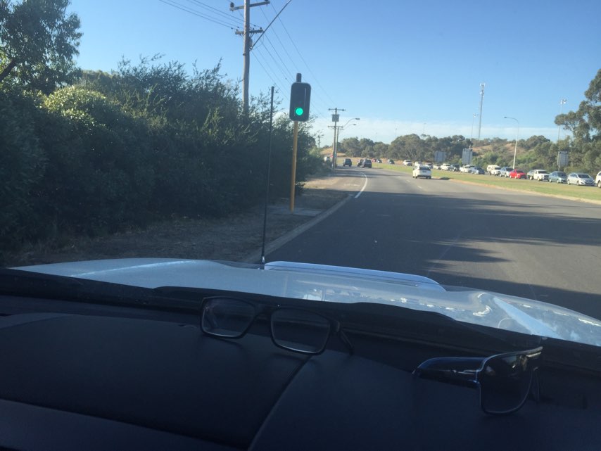
Notes: (null)
Address: Mounts Bay Road
Map: http://maps.google.com/maps?q=-31.955317,115.850305
Coordinates: -31.955317,115.850305
Photo:
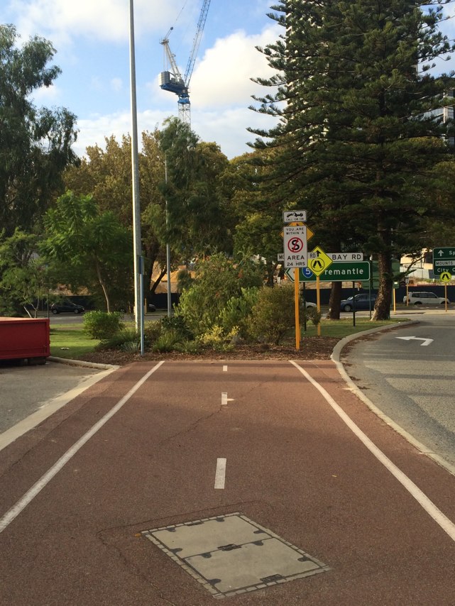
Notes: Used the freeway bike path for the first time yesterday to get back to the kwinana station after doing the freeway bike hike and realised the path is not wide enough to pass people and some of the section of the path is rough and has sand on it which is dangerous
Address: Kwinana freeway
Map: http://maps.google.com/maps?q=-32.252800,115.852737
Coordinates: -32.252800,115.852737
Photo:

Notes: Thomas rd, Rockingham rd intersection. The bike lane disappears about 30m from lights when you travel north on Rockingham rd. This is dangerous and I have had a few close calls there. Can a path be made around back of lights or bike lane added.
Address: 16 Nautical Drive
Map: http://maps.google.com/maps?q=-32.161162,115.772132
Coordinates: -32.161162,115.772132
Photo:

Notes: Bike path disappears completely, forcing all cyclists to merge with traffic heading north at80km/hr. At the intersection of Thomas road and Patterson road T section in kwinana.
Address: Thomas road / patterson road kwinana
Map: http://maps.google.com/maps?q=-32.246941,115.759964
Coordinates: -32.246941,115.759964
Photo:

Notes: Concrete spill in bike lane southbound in Marmion (north side) just before Burns Beach Road.
Address: Marmion
Map: http://maps.google.com/maps?q=-31.690777,115.715187
Coordinates: -31.690777,115.715187
Photo:

Notes: This area has a few faults. At night it is dangerous as young intoxicated people hang out on the path between Roe St and Wellinton. It smells of urine and often has broken glass. The path is also awkward to ride on as its narrow. On Roe st as you ride across the train tracks there is often broken glass. Riding home from the hospital after a late shift feels very unsafe in this area. Otherwise I enjoy my commute to work.
Address: 98 Roe
Map: http://maps.google.com/maps?q=-32.063492,115.851921
Coordinates: -32.063492,115.851921
Photo:

Notes: Coogee Marina south of Fremantle. Pole in the middle of the PSP. This one is particularly nasty as it is not brightly colored just grey nearly invisible when cycling. Located at-32.09706, 115.758814
Address: 7 Larch Court
Map: http://maps.google.com/maps?q=-31.792508,115.796343
Coordinates: -31.792508,115.796343
Photo:
Notes: Lots of GLASS in bike lane eastbound in Burns Beach Road from Marmion to Connolly, forcing riders into traffic - very dangerous!
Address: Burns Beach Road
Map: http://maps.google.com/maps?q=-31.723408,115.746712
Coordinates: -31.723408,115.746712
Photo:

Notes: The bike path that goes under the graham farmer freeway from perth/northbridge towards leederville is a black spot. A mirror is needed to ensure you can see other path users (bike riders and pedestrians coming)
Address: Graham Farmer Fwy Bike Path
Map: http://maps.google.com/maps?q=-32.047607,115.811920
Coordinates: -32.047607,115.811920
Photo:

Notes: While I appreciate construction is still be finalized, but I hope that the drainage will be reviewed along the new parts of the bikeway, preferably while it is raining so they can see the water sheeting across the path
Address: Western Freeway
Map: http://maps.google.com/maps?q=-27.500868,152.962601
Coordinates: -27.500868,152.962601
Photo:

Notes: Ongoing construction at ~87 Aberdeen Street since before Christmas has meant there have been trucks parked in the bike path forcing bikes to merge with single lane traffic
Address: 87 Aberdeen street
Map: http://maps.google.com/maps?q=-31.946875,115.858765
Coordinates: -31.946875,115.858765
Photo:

Notes: The bike path on Aberdeen stops between Pier and Beufort Streets. Causing bike riding to share the road with parked cars and cars
Address: Aberdeen street
Map: http://maps.google.com/maps?q=-31.947060,115.860077
Coordinates: -31.947060,115.860077
Photo:

Notes: Graffiti removal truck parked in the bike lane (during peak hour) on Tuesday 31/3 forcing bikes onto the single lane road
Address: 19 Aberdeen Street
Map: http://maps.google.com/maps?q=-31.945896,115.857185
Coordinates: -31.945896,115.857185
Photo:

Notes: Broken glass in the bike path for 2 days
Address: 19 Aberdeen street
Map: http://maps.google.com/maps?q=-31.945896,115.857185
Coordinates: -31.945896,115.857185
Photo:

Notes: Along Aberdeen street there are three blue cat bus stops that require the bus to stop in the on road bike lane. Meaning while cars can get around the bus. Bikes either have to stop or merge with traffic.
Address: Aberdeen Street
Map: http://maps.google.com/maps?q=-31.947060,115.860077
Coordinates: -31.947060,115.860077
Photo:

Notes: Parallel parked cars next to newly constructed bike lane
Address: Bulwer st
Map: http://maps.google.com/maps?q=-31.940886,115.863274
Coordinates: -31.940886,115.863274
Photo:

Notes: Busy street into the city, lots of road redevelopments but none including a bike path. Would be very beneficial to cyclists if a separated path was put here.
Address: William st
Map: http://maps.google.com/maps?q=-31.951559,115.858414
Coordinates: -31.951559,115.858414
Photo:

Notes: Bike eating pot hole - near Footscray Rugby Club
Address: 40 Maribyrnong Blvd
Map: http://maps.google.com/maps?q=-37.790806,144.902039
Coordinates: -37.790806,144.902039
Photo:
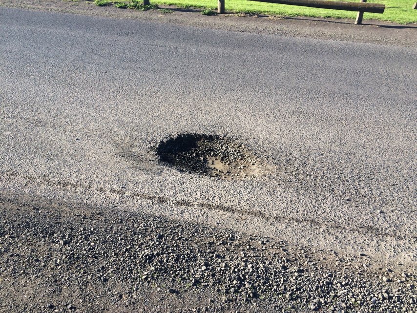
Notes: Roundabout off camber many bicycle accidents. Summertime council waters middle and water pools at low point. Witnessed 3 accidents here.
Address: Marine street and grant street
Map: http://maps.google.com/maps?q=-31.986601,115.764969
Coordinates: -31.986601,115.764969
Photo: